Discover the Majestic Heights of Dobogó: The Summit of Tolna County
Experience the breathtaking beauty of Dobogó, Tolna County's highest point, where nature and tranquility meet in perfect harmony.
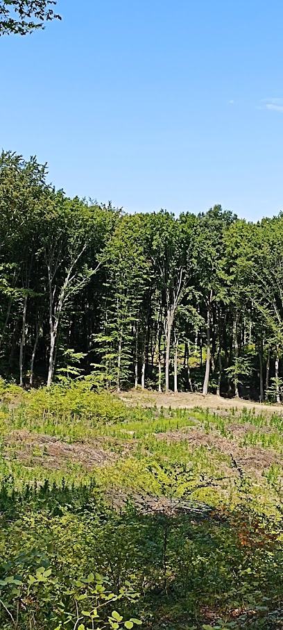
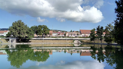
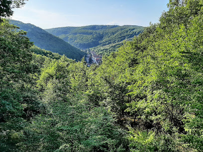
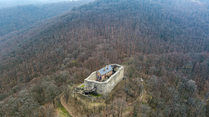
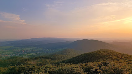
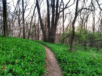
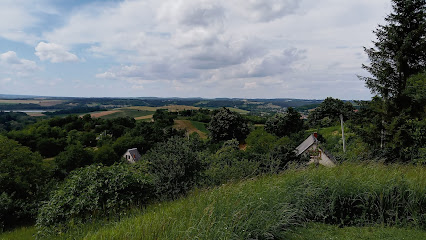
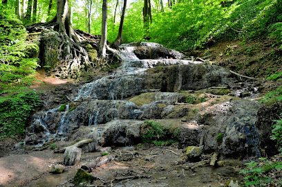
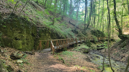
Nestled in the heart of Tolna County, Dobogó offers breathtaking views and a serene escape for tourists seeking natural beauty. Known as the highest point in the region, it is a perfect destination for hiking enthusiasts and nature lovers alike. With its stunning landscapes and rich flora and fauna, visitors can immerse themselves in the tranquility and charm of this hidden gem.
A brief summary to Dobogó (Tolna megye teteje)
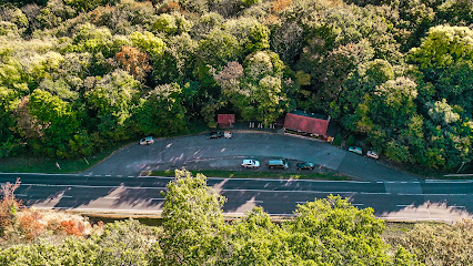
- Unnamed Road, Váralja, 7354, HU
Local tips
- Visit early in the morning or late afternoon for the best lighting for photography.
- Wear comfortable hiking shoes as the trails can be uneven.
- Pack a picnic to enjoy at one of the scenic overlooks.
- Check the weather forecast before your visit, as conditions can change rapidly.
- Take your time to explore the area; there are many hidden spots to discover.
Getting There
-
Car
If you are traveling by car, start from Pécs, the nearest major city in the Mecsek Mountains. Head northeast on Route 6 towards Szekszárd. After approximately 25 km, take the exit onto Route 65 towards Paks. Continue for about 10 km, then take the exit toward Váralja. In Váralja, follow the signs for the Unnamed Road leading to Dobogó. The final stretch will take you along a scenic road that leads directly to the viewing area at Dobogó.
-
Public Transportation
For public transportation, take a bus from Pécs to Szekszárd. Buses run frequently and the journey takes about 40 minutes. Once in Szekszárd, transfer to a regional bus heading towards Váralja. This part of the journey will take approximately 30 minutes. Disembark at the stop closest to Unnamed Road in Váralja. From there, you will need to walk approximately 1.5 km along Unnamed Road to reach Dobogó. Be aware that bus schedules may vary, so check in advance for the latest times.
-
Bicycle
If you prefer cycling, you can rent a bike in Pécs and head towards Dobogó. Follow Route 6 towards Szekszárd, and then take the same route as the car directions. The total cycling distance is about 35 km from Pécs to Dobogó, and it may take around 2-3 hours depending on your pace. Ensure you have a map or GPS, as some sections may not have clear signage.
-
Hiking
For the adventurous, hiking from nearby locations in the Mecsek Mountains is a great option. Start your hike from the nearest trailhead, which could be from places like the Zengő Mountain or the trails in the vicinity of Pécs. Follow marked trails that lead towards Váralja, and then proceed to Unnamed Road. The total hiking distance can vary but expect it to be around 10-15 km. Make sure to carry enough water and snacks for the journey.
Discover more about Dobogó (Tolna megye teteje)
Iconic landmarks you can’t miss
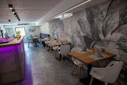
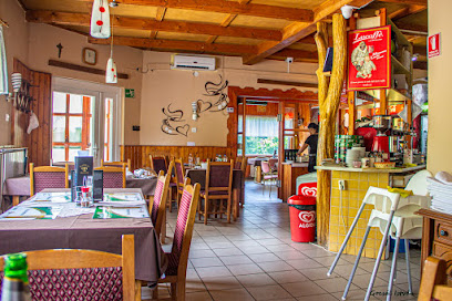
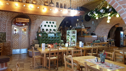
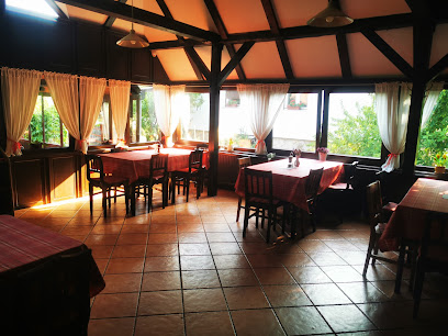
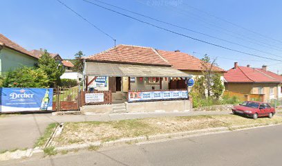
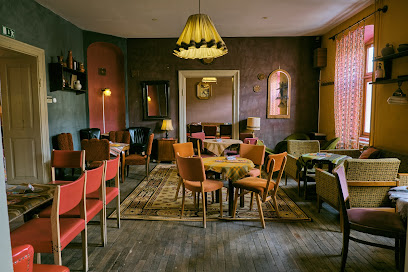
Mecsek Pihenő Étterem
12.7 km
Discover authentic Hungarian cuisine at Mecsek Pihenő Étterem in Pécs, where delightful flavors meet a cozy atmosphere for an unforgettable dining experience.
Mánfai-kőlyuk
14.4 km
Discover the breathtaking beauty of Mánafai-kőlyuk Cave in Hungary, home to stunning formations and diverse wildlife for nature lovers.

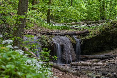
Ágnes-vízesés
14.4 km
Experience the serenity of Ágnes-vízesés, a hidden waterfall gem in Mánfa, surrounded by lush nature and picturesque landscapes.
Spirál-víznyelő
18.0 km
Explore the breathtaking Spirált-víznyelő cave in Pécs, Hungary, a natural wonder showcasing unique geological formations and serene beauty.
Mecsekszakál
18.1 km
Explore the tranquil beauty of Mecsekszakál, a hidden gem in Hungary's Orfű region, perfect for nature lovers and outdoor enthusiasts.
A Mecseki Láthatatlanok
18.2 km
Discover the serene beauty of A Mecseki Láthatatlanok, a captivating sculpture park in Pécs, blending art with nature's tranquility.
Mecsek House
18.2 km
Discover tranquility at Mecsek House in Orfű, a perfect blend of comfort, nature, and cultural experiences in Hungary's stunning Mecsek Mountains.
Balokány-Pepita Közösségi Tér
18.9 km
Discover the vibrant community spirit of Pécs at Balokány-Pepita Közösségi Tér, a serene hub of culture and nature.
Freeport Cultural Center
19.1 km
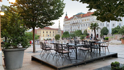
Discover the essence of Pécs at the Freeport Cultural Center, a lively venue for nightlife, art, and community events in Hungary.
Deck of Eight Happiness
19.1 km
Experience breathtaking views and tranquility at the Deck of Eight Happiness in Pécs, a must-visit observation deck for all travelers.
South Transdanubian Regional Library and Knowledge Centre
19.2 km
Discover the South Transdanubian Regional Library: A cultural gem in Pécs offering knowledge, events, and culinary delights.
Vasváry House
19.3 km
Explore the Vasvári House in Pécs, a historical landmark showcasing the city's rich heritage and captivating exhibitions.
JPM Mecseki Bányászati Múzeum
19.4 km
Explore Pécs' mining history at the JPM Mecseki Bányászati Múzeum—a fascinating technology museum showcasing Hungary's rich heritage.
Victor Vasarely Museum
19.4 km
Explore the mesmerizing optical art of Victor Vasarely at the captivating museum in Pécs, showcasing a vibrant collection of innovative masterpieces.
Ferenc Martyn Museum
19.4 km
Explore the Ferenc Martyn Museum in Pécs: A hidden gem of Hungarian art and culture showcasing the legacy of a master artist.
Unmissable attractions to see
Kelet-Mecsek Landscape Protection Area
2.2 km
Experience the breathtaking beauty of Kelet-Mecsek Landscape Protection Area, a serene national reserve perfect for nature lovers and outdoor enthusiasts.
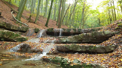
Ferde-vízesés/Tündér lépcső
2.3 km
Discover the breathtaking beauty of Ferde-vízesés/Tündér Lépcső, a stunning waterfall and staircase in Hosszúhetény, perfect for hikers and nature lovers.
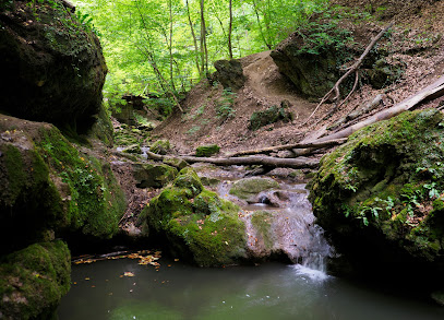
Csepegő szikla
2.3 km
Discover the breathtaking beauty of Csepegő Szikla in Óbánya, a natural wonder that captivates visitors with its stunning rock formations and serene landscapes.
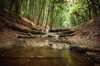
Óbányai-völgy
2.7 km
Explore the stunning beauty of Óbányai-völgy, a tranquil haven in Hungary known for its breathtaking landscapes and rich biodiversity.
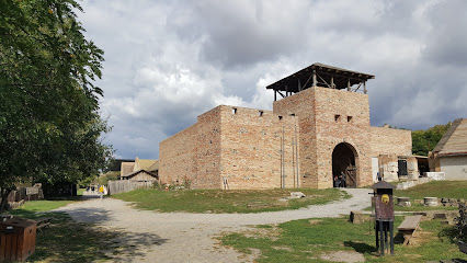
Máré-vár
3.0 km
Explore the enchanting ruins of Máré-vár, a historical gem in Hungary's picturesque countryside, perfect for history enthusiasts and nature lovers alike.
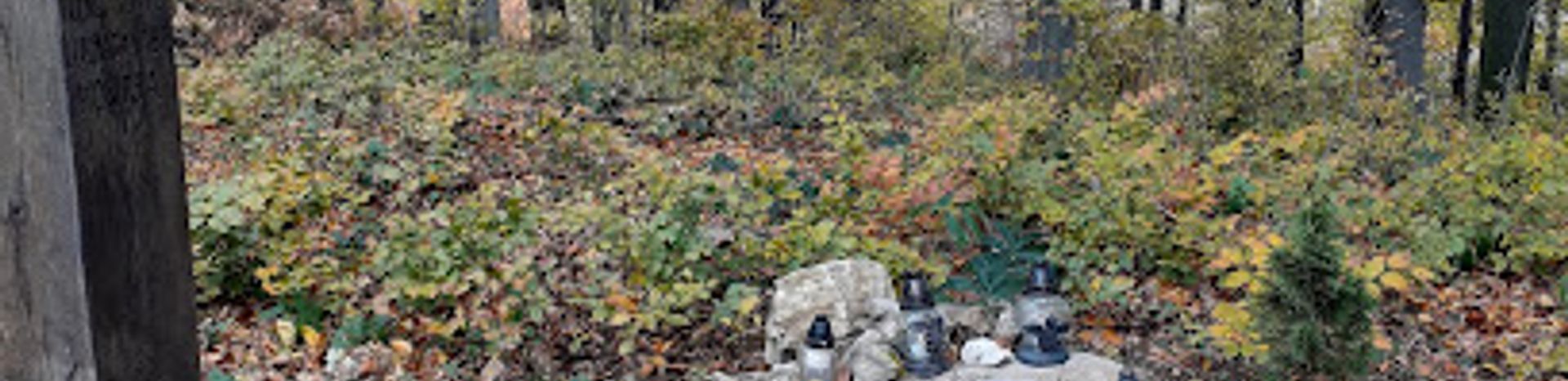
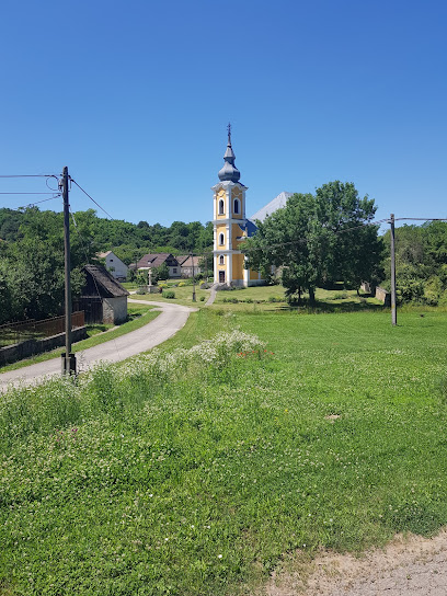
Váraljai parkerdő
5.2 km
Experience the tranquility of Váralja Park, a beautiful tourist attraction in Hungary, perfect for nature lovers and peaceful retreats.
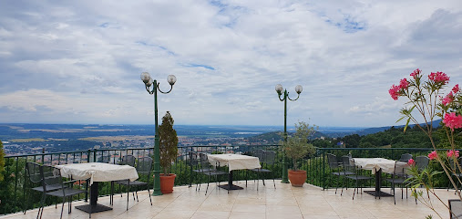
Zengő seven story tall Observation Tower
5.3 km
Experience unparalleled panoramic views and the serene beauty of Hungary at the Zengő Seven-Story Observation Tower in Hosszúhetény.
Mecsek
8.1 km
Experience the breathtaking beauty and diverse wildlife of Mecsek, a stunning mountain peak in Hungary, perfect for hikers and nature lovers.
Mecske ZOO
12.7 km
Explore the captivating Mecske ZOO in Erdősmecske, Hungary, where diverse wildlife and serene surroundings create an unforgettable experience for all ages.
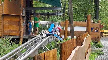
Mecsextrém Park
12.9 km
Experience the thrill of adventure at Mecsextrém Park in Pécs, Hungary. Enjoy rides, games, and local cuisine in a picturesque setting.
Élménybirtok
13.3 km
Discover the thrills and cultural richness of Élménypirtok, a premier theme park in Bikal, Hungary, perfect for family fun and adventure.
Lavender Hill Mecsek
13.8 km
Experience the calming beauty of Lavender Hill Mecsek, where vibrant lavender fields meet serene landscapes in the heart of Hungary.
Melegmányi vízesés
14.3 km
Explore the stunning Melegmányi Vízesés waterfall in Mánfa, Hungary, a hidden gem for nature lovers and adventurers.
Nagy-Mély-völgy
14.3 km
Explore the natural wonder of Nagy-Mély-völgy, a tranquil valley in Mánfa ideal for hiking, picnicking, and immersing in stunning landscapes.
Völgységi Múzeum
15.4 km
Explore the vibrant heritage of Bonyhád at Völgységi Múzeum, a treasure trove of local history and culture in Hungary.
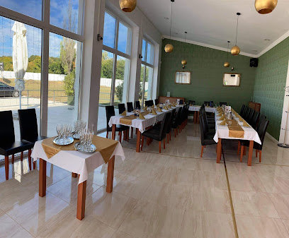
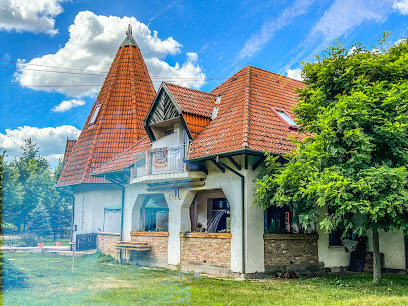
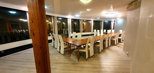
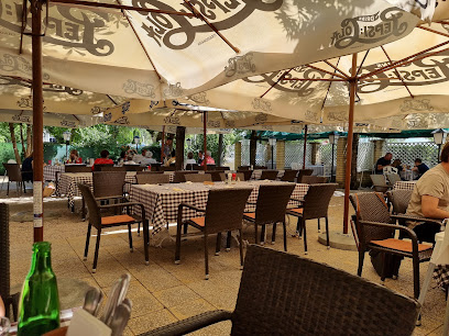
Essential places to dine
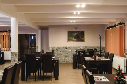
Schlossberg
8.4 km
Savor authentic Hungarian cuisine at Schlossberg in Mecseknádasd - where tradition meets modern culinary excellence.
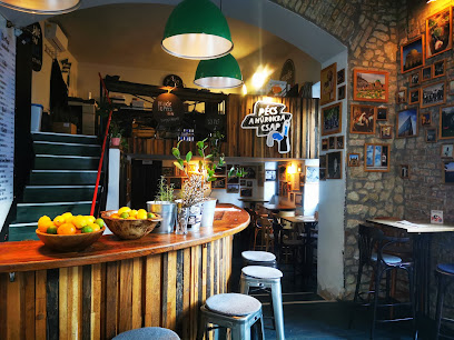
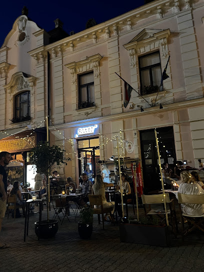
Mecsek Bisztró
8.5 km
Experience authentic pizza at Mecsek Bisztró, where every bite is a delicious journey through Italian flavors in Komló.
Trib Étterem És Söröző
8.7 km
Experience authentic Hungarian cuisine at Trib Étterem És Söröző in Mecseknádasd, where every dish tells a story.
Bagoly Gasztrokult Élménytér
8.8 km
Savor authentic Hungarian flavors at Bagoly Gasztrokult Élménytér in Mecseknádasd - a culinary gem offering a delightful dining experience.
Vadvirág Vendéglő
9.7 km
Discover authentic Hungarian cuisine at Vadvirág Vendéglő in Komló - where tradition meets taste in a cozy setting.
Kőlyuki Betérő
13.3 km
Discover authentic Hungarian cuisine in the heart of Mánfa at Kőlyuki Betérő – where every meal tells a story.
Mecsek Kapuja Étterem
14.0 km
Discover the rich flavors of Hungarian cuisine at Mecsek Kapuja Étterem in Pécs - where every dish tells a story.
Mathias Ház - Panzió es Sörkert
17.3 km
Experience authentic Hungarian cuisine at Mathias Ház - Panzió es Sörkert with delightful meals in a beautiful beer garden setting.
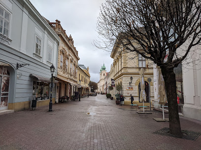
TV-torony kilátó és étterem
17.8 km
Dine high above Pécs at Hungary's tallest restaurant with breathtaking views and delicious local cuisine.
Bagolyvár
18.0 km
Discover the exquisite flavors of Hungary at Bagolyvár in Pécs - where fine dining meets warm hospitality.
Tettye Vendéglő étterem
18.1 km
Experience authentic Hungarian flavors at Tettye Vendéglő in Pécs – where tradition meets taste amidst stunning scenery.
Tüke Borház
18.2 km
Savor authentic Hungarian cuisine at Tüke Borház, where tradition meets flavor in the heart of Pécs.
Kikelet étterem és kávézó
18.4 km
Discover exquisite flavors at Kikelet Étterem és Kávézó in Pécs, where traditional Hungarian dishes meet modern culinary artistry.
Muskátli Vendéglő
18.6 km
Experience authentic Hungarian cuisine at Muskátli Vendéglő in Orfű - where tradition meets taste in a cozy setting.
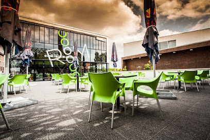
Room Bistro&Club
18.6 km
Discover Room Bistro & Club in Pécs: A culinary gem blending local flavors with modern cuisine in a vibrant setting.
Markets, malls and hidden boutiques
Kölyökshop
18.1 km
Discover stylish and comfortable children's clothing at Kölyökshop in Pécs, Hungary, perfect for your little ones' wardrobe.

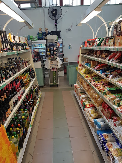
Unker ABC store
18.6 km
Explore local flavors and essentials at Unker ABC Store in Orfű, the perfect stop for all your shopping needs.
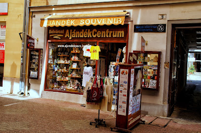
Belvárosi Ajándékcentrum
19.5 km
Explore Belvárosi Ajándékcentrum in Pécs for unique gifts that reflect the heart of Hungarian culture and craftsmanship.
Hamerli Pécsi Kesztyű Galéria
19.5 km
Discover the artistry of leather craftsmanship at Hamerli Pécsi Kesztyű Galéria, a hidden gem in Pécs offering exquisite gloves and leather goods.
Futureal
19.5 km
Discover trendy fashion and unique apparel at Futureal, Pécs' top clothing store, perfect for tourists looking to elevate their style.
Zsolnay Brand Store
19.6 km
Explore the Zsolnay Brand Store in Pécs for exquisite chinaware and unique jewelry, celebrating Hungary's rich artistic heritage.
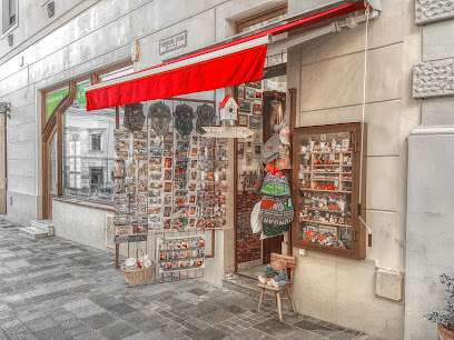
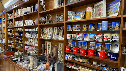
Souvenir Pécs
19.6 km
Explore a world of authentic Hungarian souvenirs and crafts at Souvenir Pécs, the perfect stop for memorable keepsakes in Pécs, Hungary.
Czékmány Vera Galéria
19.6 km
Discover unique art and souvenirs at Czékmány Vera Galéria, a charming gift shop and art gallery in the heart of Pécs, Hungary.

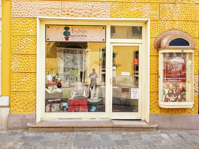
Nostalgy Gift
19.7 km
Explore Nostalgy Gift in Pécs for unique souvenirs and local crafts that capture the heart of Hungarian culture.
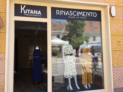
Rinascimento
19.7 km
Explore Rinascimento in Pécs for chic women's fashion that combines elegance with contemporary style, perfect for any occasion.
Modiano Ajándéküzlet
19.7 km
Explore Modiano Ajándéküzlet in Pécs for unique Hungarian gifts, local crafts, and memorable souvenirs that embody the spirit of your travels.
Peppa malac bolt
19.7 km
Explore a unique selection of books at Peppa Malac Bolt in Pécs, Hungary, a must-visit for every literary enthusiast and casual reader alike.
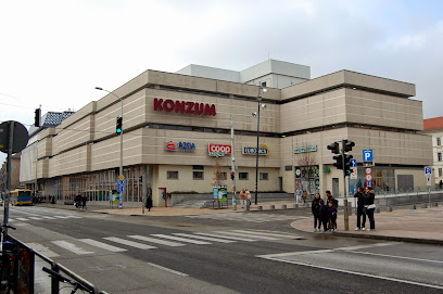
Konzum Áruház
19.7 km
Discover the vibrant shopping experience at Konzum Áruház in Pécs, where local charm meets diverse retail options.
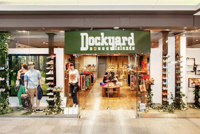
Dockyard
19.7 km
Discover Dockyard in Pécs, the ultimate destination for stylish clothing, shoes, and top-notch sportswear in Hungary.
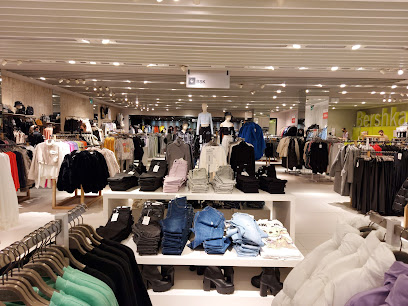
Bershka
19.7 km
Discover contemporary fashion at Bershka in Pécs, your go-to destination for stylish clothing and accessories that reflect the latest trends.
Essential bars & hidden hideouts
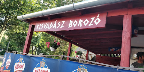
Kisvadász Borozó
17.6 km
Explore the rich flavors of local wines at Kisvadász Borozó, Pécs' charming wine bar in the heart of Hungary.
Bártfa Borozó
17.6 km
Discover the charm of Bártfa Borozó, Pécs' premier wine bar, offering exquisite local wines in a cozy, inviting atmosphere.
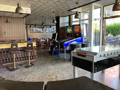
Bar of Legends
19.2 km
Discover the vibrant Bar of Legends in Pécs - a unique blend of gaming culture and delightful drinks, perfect for tourists and locals alike.
19 Bar & Shop
19.3 km
Experience the lively ambiance and handcrafted drinks at 19 Bar & Shop, a top destination for tourists in Pécs, Hungary.
Nappali
19.3 km
Experience the vibrant nightlife at Nappali, a dynamic bar and concert venue in Pécs, Hungary, perfect for coffee lovers and night owls alike.
Cooltour Café
19.3 km
Discover the charm of Cooltour Café in Pécs, where vintage decor meets delicious drinks and a vibrant atmosphere.
Made in Pecs Café
19.4 km
Experience the charm of Made in Pecs Café in Pécs, Hungary, where vibrant ambiance meets delightful drinks and local culture.
SPOT Bar & Food
19.4 km
Experience the lively atmosphere of SPOT Bar & Food in Pécs, where delicious food and vibrant nightlife come together.
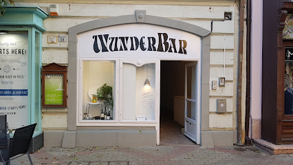
WunderBar Pécs
19.4 km
Discover the vibrant nightlife at WunderBar Pécs, where cozy ambiance meets a unique drink selection in the heart of Hungary.
Filter Koktélbár
19.4 km
Experience innovative cocktails and a lively atmosphere at Filter Koktélbár, a premier cocktail bar in the heart of Pécs, Hungary.
Partisan
19.5 km
Discover the vibrant cocktail culture at Partisan in Pécs, where expertly crafted drinks meet a lively café atmosphere.
Csalogány Presszó
19.6 km
Discover the vibrant nightlife of Pécs at Csalogány Presszó, a cozy bar offering local drinks and a warm atmosphere.
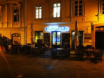
Vödör Café
19.6 km
Experience the vibrant atmosphere and delicious drinks at Vödör Café in Pécs, perfect for every night out.
Downtown Bar
19.7 km
Discover the lively Downtown Bar in Pécs, a perfect spot for cocktails and good company amidst the vibrant local nightlife.
Szálkás Hokedli
19.7 km
Experience the vibrant nightlife at Szálkás Hokedli, Pécs' top night club and pub offering great atmosphere, drinks, and entertainment.
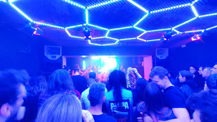
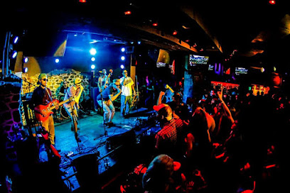
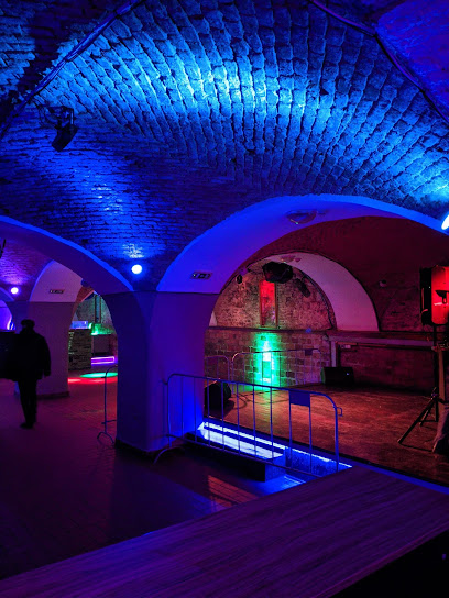
Nightclubs & after hour spots
Zrínyi Ifjúsági Klub
8.7 km
Discover the pulse of Komló's nightlife at Zrínyi Ifjúsági Klub, where music, dance, and unforgettable memories await.
Boszi Büfé
16.6 km
Experience the vibrant nightlife at Boszi Büfé in Magyarhertelend, where delicious food meets electrifying music for unforgettable evenings.
Ámor bár
19.4 km
Experience the vibrant nightlife of Pécs at Ámor Bár, where cocktails and camaraderie come together in a lively atmosphere.
A szoba
19.5 km
Discover the pulse of Pécs nightlife at A Szoba, where music, drinks, and a vibrant crowd create unforgettable nights.
Retro Music Club
19.6 km
Discover the iconic Retro Music Club in Pécs, where vibrant nightlife, great music, and unforgettable experiences converge in a nostalgic atmosphere.
Klub74
19.7 km
Discover the pulse of Pécs nightlife at Klub74, where music, dance, and fun come together for an unforgettable experience.
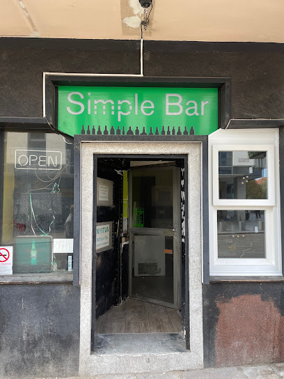
Simple Bar
19.8 km
Experience the vibrant nightlife at Simple Bar in Pécs, where music, dancing, and a lively atmosphere come together for an unforgettable night out.
Amper Club
19.8 km
Discover the electric atmosphere of Amper Club in Pécs, the ultimate destination for nightlife lovers seeking unforgettable experiences.
Pécsi Est
19.9 km
Dive into Pécs' nightlife at Pécsi Est, a lively nightclub offering great music, drinks, and a vibrant atmosphere for an unforgettable night out.
Sörház
20.0 km
Discover the vibrant nightlife of Pécs at Sörház, where unforgettable music and great drinks create the perfect party atmosphere.
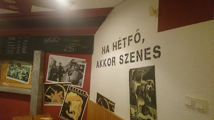
Szenes klub
20.4 km
Experience the vibrant nightlife of Pécs at Szenes Klub, a lively night club and bar offering an unforgettable atmosphere and great drinks.
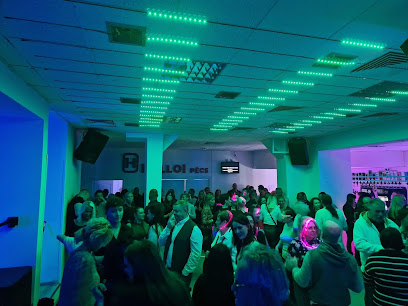
HELLO PÉCS
20.4 km
Experience the vibrant nightlife of Pécs at HELLO PÉCS, a premier night club filled with energetic music, themed events, and a welcoming crowd.
Nosztalgia Klub Pécs
20.6 km
Discover the energetic nightlife of Pécs at Nosztalgia Klub, a premier night club offering a unique blend of music, culture, and entertainment.
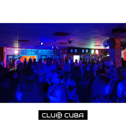
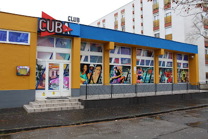
Cuba Pécs - Night Club&Disco
21.9 km
Experience the vibrant nightlife of Pécs at Cuba Pécs, where music, dance, and fun await every weekend.
Kuba Eszpresszó & Club _ Official
22.0 km
Discover the vibrant nightlife of Pécs at Kuba Eszpresszó & Club—where live music and electrifying atmosphere meet.