Bukk-fennsik
Discover the Majestic Bukk-fennsik Mountain Peak

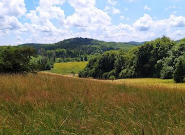
Explore the breathtaking beauty of Bükki Peak in Miskolc, Hungary, where adventure meets tranquility in a stunning natural landscape.
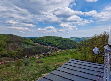
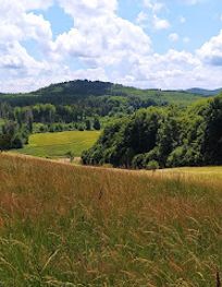
Nestled in the heart of Miskolc, Bükki Peak is a breathtaking destination for nature lovers and adventure seekers. Offering stunning panoramic views, diverse trails, and unique fauna, this mountain peak serves as the perfect backdrop for unforgettable experiences in Hungary's lush landscapes.
Opening times, essentials, and a few local tips gathered into one calmer, easier-to-scan planning section.
Car
If you're traveling by car, head towards Miskolc, specifically the suburb of Lillafüred. From the center of Zemplen Mountains, take Route 27 towards Miskolc. Once you reach Miskolc, follow the signs for Lillafüred. You will drive through a scenic area, and the drive should take approximately 30-45 minutes depending on your starting location. Upon arriving in Lillafüred, you can park your car near the forest entrance that leads to Bükk.
Public Transportation
For those opting for public transportation, take a bus from nearby towns in Zemplen Mountains to Miskolc. The bus service is regular, and you can check the schedules online or at the local bus station. Once in Miskolc, you will need to transfer to a local bus heading to Lillafüred (bus number 1 or 2). The entire journey can take around 1-1.5 hours, and a single bus ticket costs approximately 350 HUF. After arriving in Lillafüred, follow the walking trails that lead into the Bükk area.
Hiking
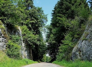
If you're already in the surrounding areas of the Zemplen Mountains and enjoy hiking, there are several trails that lead directly to Bükk. Make sure to have a map or GPS device, as the trails are marked but can sometimes be confusing. The hike can take anywhere from 1-2 hours depending on your starting point and pace. Bring water and snacks, as there may not be facilities along the way.
Use Bükk as your starting point for nearby food, family ideas, nightlife, and more local discoveries.

Explore expert travel guides, compare and book tours, experiences, hotels, and more—all from the palm of your hand. Download now for seamless trip planning wherever your wanderlust takes you.
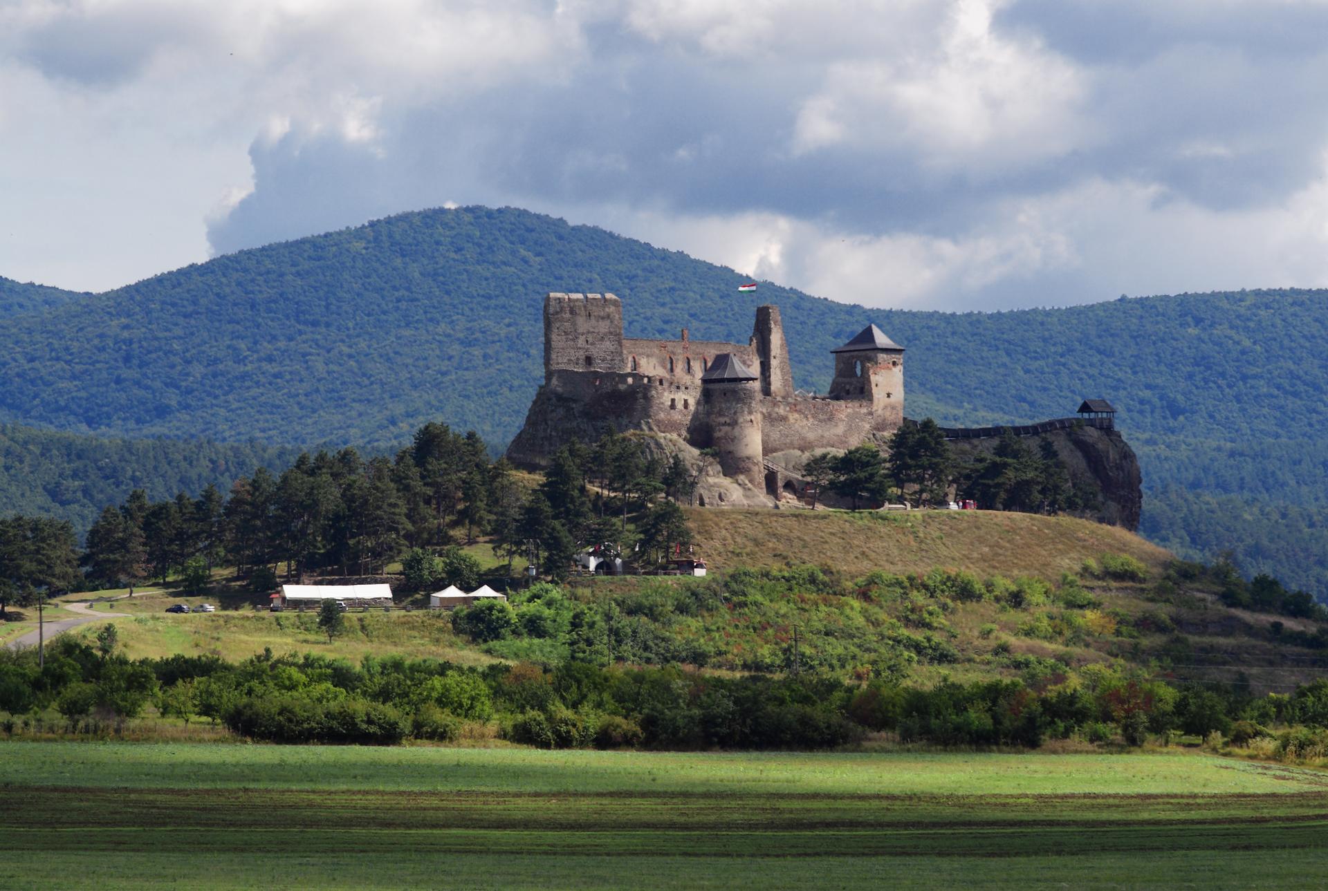
Discover the Zemplen Mountains: Hungary’s hidden treasure with stunning landscapes, rich wildlife, ancient castles, and world-famous wine traditions.
Tell me more about Zemplen Mountains