From Eve
Know before you go
Hi, I'm Eve. Here are a few practical things to know before exploring Vatnskot.
Local know-how to help you travel smarter and make the most of every moment.

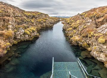
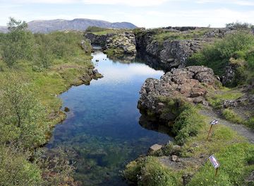
Discover the historical significance and stunning landscapes of Vatnskot, a remarkable landmark in Iceland's Þingvellir National Park.
Vatnskot is a captivating historical landmark nestled within Iceland's natural beauty. A part of Þingvellir National Park, it offers breathtaking landscapes and rich cultural heritage for tourists to explore.
Opening times, essentials, and a few local tips gathered into one calmer, easier-to-scan planning section.
Hi, I'm Eve. Here are a few practical things to know before exploring Vatnskot.
Local know-how to help you travel smarter and make the most of every moment.
Car
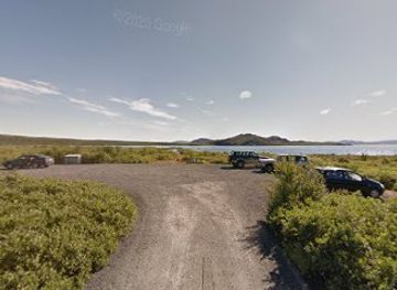
If you are traveling by car, start from the town of Selfoss. Take Route 1 (the Ring Road) heading towards Reykjavík. After approximately 25 kilometers, take the exit for Route 36 towards Þingvellir National Park. Continue on Route 36 for about 20 kilometers, passing through the park. You will reach Vallarvegur, where Vatnskot is located at coordinates 64.2443005, -21.0878221. Ensure your GPS is set to these coordinates for precise navigation.
Public Transportation
If you prefer public transportation, begin your journey from Reykjavík. Take a bus operated by Strætó (Line 1) to Þingvellir National Park. Once you arrive at the park, you may need to walk approximately 2 kilometers to reach Vatnskot on Vallarvegur. Make sure to check the latest bus schedules and routes as they can vary, and be prepared for possible hiking.
Taxi or Rideshare
For a more direct route without a car, consider taking a taxi or using a rideshare service from either Selfoss or Reykjavík. This option is more expensive, with fares ranging from ISK 20,000 to ISK 30,000 depending on your starting point and any traffic conditions. Provide the driver with the address Vallarvegur, 806 or the GPS coordinates 64.2443005, -21.0878221 to ensure they take you directly to Vatnskot.
Use Vatnskot as your starting point for nearby food, family ideas, nightlife, and more local discoveries.

Explore expert travel guides, compare and book tours, experiences, hotels, and more—all from the palm of your hand. Download now for seamless trip planning wherever your wanderlust takes you.
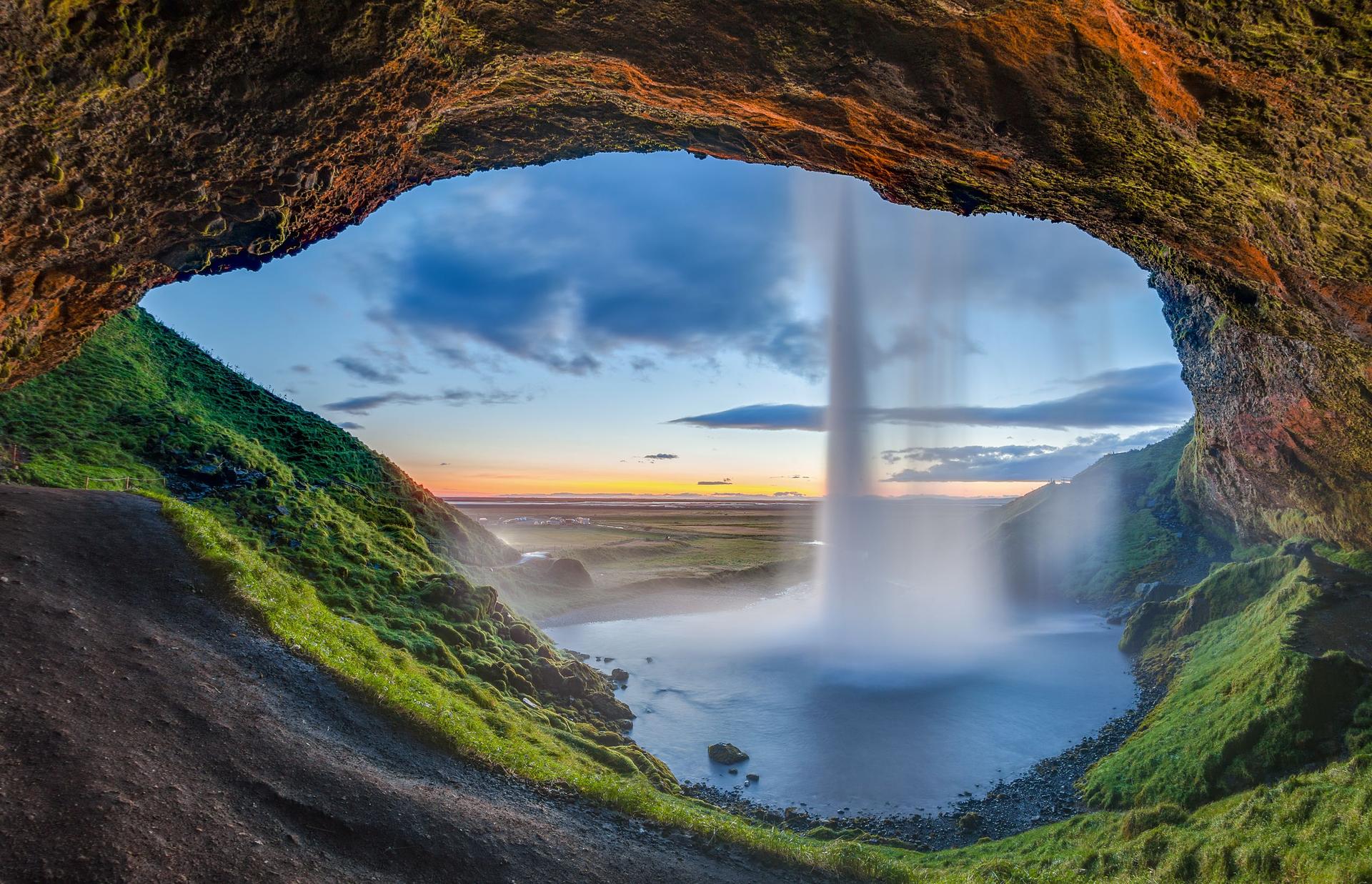
Explore the Southern Region of Iceland: From majestic waterfalls to black sand beaches, glaciers, and geothermal wonders, this is a land of dramatic contrasts and natural beauty.
Tell me more about Southern Region