From Eve
Know before you go
Hi, I'm Eve. Here are a few practical things to know before exploring Mullaghcleevaun East Top.
Local know-how to help you travel smarter and make the most of every moment.
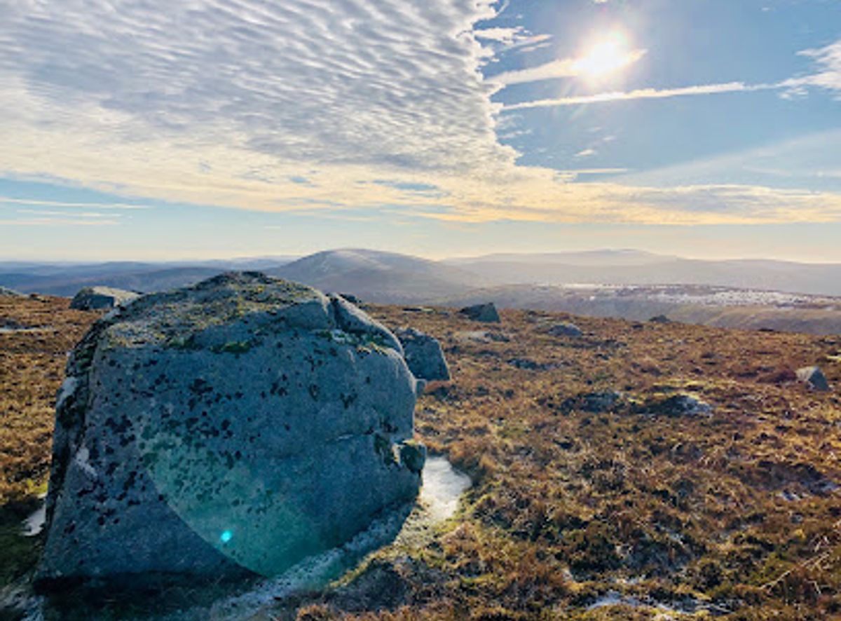
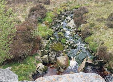
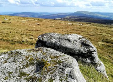
Discover the breathtaking views and thrilling hiking trails of Mullaghcleevaun East Top in County Wicklow, a must-visit destination for nature lovers.
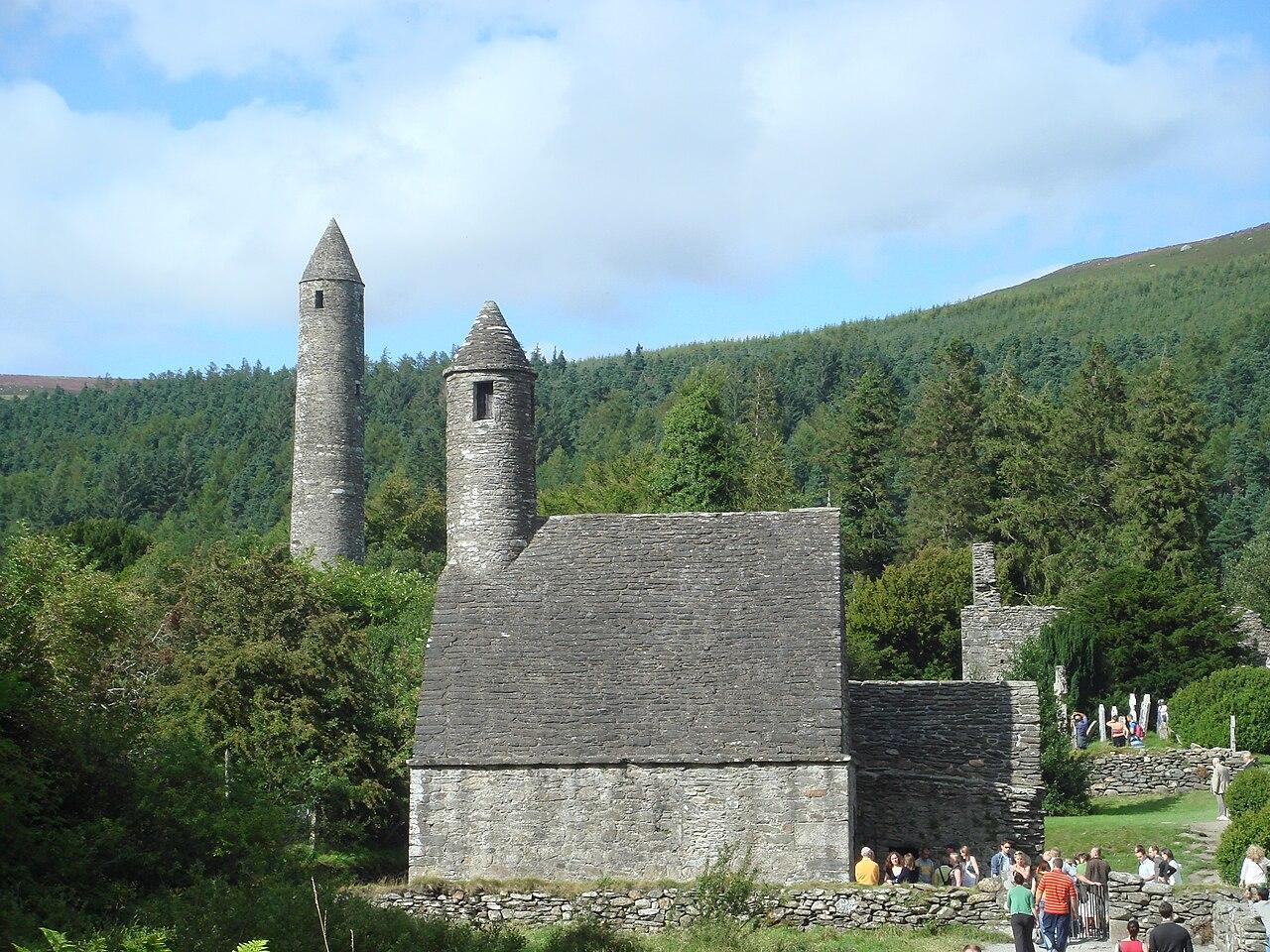
Nestled in the heart of County Wicklow, Mullaghcleevaun East Top offers breathtaking views and a rewarding hiking experience for tourists seeking adventure in Ireland's natural beauty.
Opening times, essentials, and a few local tips gathered into one calmer, easier-to-scan planning section.
Hi, I'm Eve. Here are a few practical things to know before exploring Mullaghcleevaun East Top.
Local know-how to help you travel smarter and make the most of every moment.
Car
If you're traveling by car, start from the nearest town, Wicklow Town. Head northwest on the R752 road towards the Wicklow Mountains. Continue on the R752 until you reach the R115. Turn left onto the R115 and follow the signs towards Glendalough. After passing Glendalough, continue on the R115 for approximately 10 km. Look for a small parking area near the trailhead for Mullaghcleevaun East Top, located at Carrigeenduff. This area is generally free to park, but do check for any local parking regulations.
Public Transportation
For those relying on public transport, take a bus from Dublin to Wicklow Town. Bus companies like Dublin Bus or Bus Éireann offer regular services. Once in Wicklow Town, you can catch a local bus (if available) that heads towards Glendalough. Alternatively, you can take a taxi from Wicklow Town to the R115 near Carrigeenduff, which may cost approximately €20-€30 depending on the distance and taxi service. Ensure to check the bus schedules in advance as they may vary.
Walking
Once parked or dropped off at the trailhead near Carrigeenduff, you can start your hike towards Mullaghcleevaun East Top. Follow the marked trail that leads upwards. The ascent can be steep at times, so ensure you have proper hiking gear. The trail offers stunning views of the surrounding mountains, and the hike to the summit will take around 1.5 to 2 hours, depending on your fitness level. Always carry water and snacks for the journey.
Use Tower Bridge as your starting point for nearby food, family ideas, nightlife, and more local discoveries.

Explore expert travel guides, compare and book tours, experiences, hotels, and more—all from the palm of your hand. Download now for seamless trip planning wherever your wanderlust takes you.
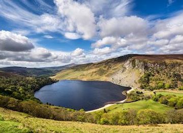
Explore the Wicklow Mountains: A blend of serene landscapes, rich history, and diverse wildlife in the heart of Ireland, perfect for nature lovers and adventurers alike.
Tell me more about Wicklow Mountains