
Discover the Tranquil Beauty of Mount Cocotte Trail
Explore Mount Cocotte Trail, a captivating hiking area in Mauritius, where nature's beauty and breathtaking views await every adventurer.
Mount Cocotte Trail offers a stunning escape into nature, where tourists can hike amidst lush landscapes and breathtaking views, making it a must-visit destination in Mauritius.
A brief summary to Mount Cocotte Trail - Hiking and Exploring Mauritius
- B103 Chamarel Rd, MU
Local tips
- Visit early in the morning to enjoy cooler temperatures and fewer crowds.
- Bring a camera to capture the stunning views and unique flora.
- Wear comfortable hiking shoes and carry enough water for your journey.
- Check the weather forecast before your hike to ensure a safe and enjoyable experience.
- Consider visiting during the cooler months for the best hiking conditions.
Getting There
-
Car
If you are driving, start from the main entrance of Black River Gorges National Park. Head south on the B103 Chamarel Road. Continue along this road for approximately 10 kilometers. You will notice signs for Mount Cocotte Trail along the route. Once you reach the trailhead, you will find a parking area. Make sure to park in designated spots to avoid any fines.
-
Public Transportation
To reach Mount Cocotte Trail using public transportation, take a bus heading towards Chamarel from Port Louis or any other major town. Make sure to ask the driver to drop you off near the B103 Chamarel Road. Once you get off the bus, walk along B103 Chamarel Road for about 1.5 kilometers. You will eventually arrive at the trailhead. Buses typically run every hour, and the fare is around 50 to 100 MUR depending on where you board.
-
Walking
If you are already within Black River Gorges National Park, and not too far from the trail, you can walk to Mount Cocotte Trail. Use the park’s trail map to navigate towards B103 Chamarel Road. Follow the signs indicating the route to the trailhead. The walk can take anywhere from 30 minutes to an hour depending on your starting point. Ensure to wear comfortable shoes and bring water.
Discover more about Mount Cocotte Trail - Hiking and Exploring Mauritius
Iconic landmarks you can’t miss
Alexandra Falls Hiking Trail
1.2 km
Discover the breathtaking landscapes of Alexandra Falls Hiking Trail, where adventure meets tranquility in the heart of Mauritius.
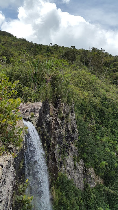
Alexandra Falls View Point
1.3 km
Experience the awe-inspiring beauty of Alexandra Falls View Point, a stunning natural attraction in the heart of Mauritius' Black River Gorges National Park.
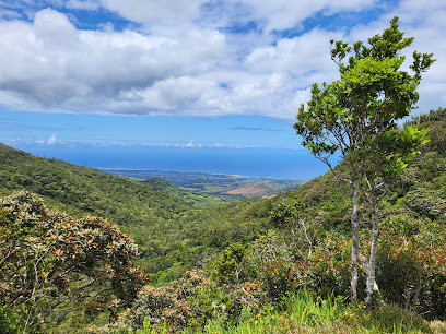
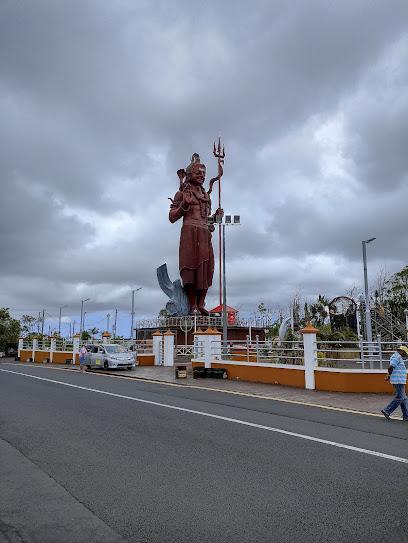
Lord Shiva, Grand Bassin Hindu Temple
3.0 km
Explore the spiritual heart of Mauritius at the breathtaking Lord Shiva Temple, a serene and culturally rich pilgrimage site surrounded by stunning natural beauty.

Spiritual Park
3.1 km
Experience the serene beauty of Spiritual Park, a Hindu temple in Mauritius, where culture and tranquility come together in a stunning natural setting.
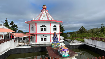
Shiv Mandir
3.2 km
Experience the spiritual essence and architectural beauty of Shiv Mandir, a must-visit Hindu temple in Mauritius for a serene cultural escape.

Mangal Mahadev
3.2 km
Discover Mangal Mahadev, the iconic statue of Lord Shiva in Mauritius, symbolizing spirituality and cultural heritage amidst stunning natural beauty.
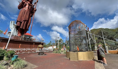
Maa Durga Statue Mauritius
3.2 km
Explore the majestic Maa Durga Statue in Mauritius, a spiritual landmark offering peace, cultural insights, and stunning natural beauty amidst lush landscapes.
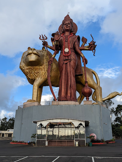
Horazis
3.8 km
Uncover the beauty of Mauritius with Horazis, your dedicated travel agency for bespoke adventures and unforgettable experiences.
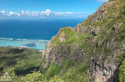
Black River Gorge
5.7 km
Explore the breathtaking Black River Gorge, a natural wonder in Mauritius filled with stunning landscapes, rich biodiversity, and thrilling outdoor adventures.
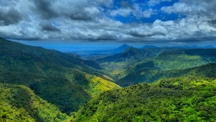
Trou Kanaka
6.1 km
Immerse yourself in the serene beauty of Trou Kanaka Nature Preserve, a hidden gem in Bois Cheri, Mauritius, perfect for nature lovers and tranquility seekers.
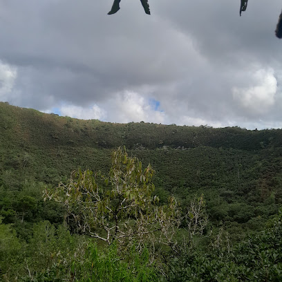
Sophie Nature Walk
6.7 km
Explore the lush landscapes and serene pathways of Sophie Nature Walk, a tranquil park and nature preserve in Vacoas-Phoenix, Mauritius.
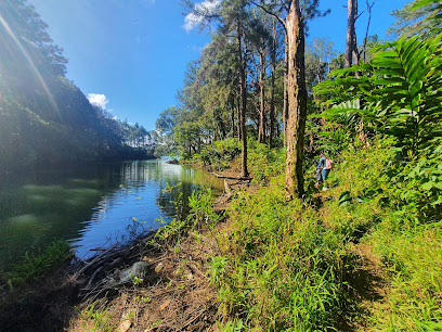
Cascade Leon
7.1 km
Experience the breathtaking beauty of Cascade Leon in Chamouny, a stunning waterfall surrounded by lush nature, perfect for relaxation and adventure.
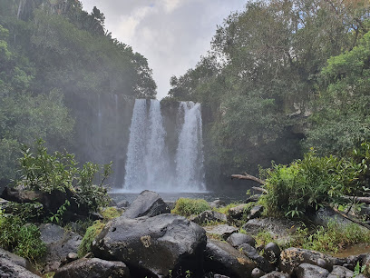
Black River Visitors Centre
7.6 km
Discover the Black River Visitors Centre, a gateway to Mauritius' breathtaking national park, perfect for nature lovers and outdoor enthusiasts seeking adventure.
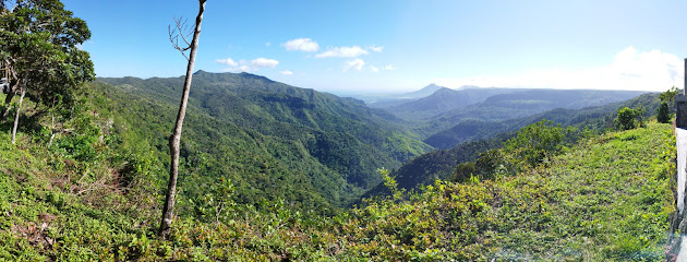
Baie du Jacotet
7.7 km
Experience the historical charm and stunning natural beauty of Baie du Jacotet, a serene coastal gem in Bel Ombre, Mauritius.
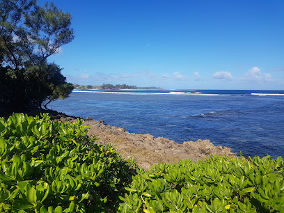
Rhumerie de Chamarel Restaurant & Rum Distillery
7.7 km
Discover the exquisite flavors of Mauritian cuisine and rum at Rhumerie de Chamarel, a unique dining experience surrounded by stunning natural beauty.
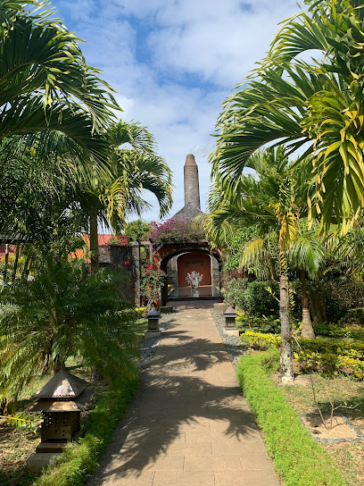
Unmissable attractions to see
Piton Savanne hiking trail
0.9 km
Explore the breathtaking Piton Savanne hiking trail, where lush landscapes and stunning views await every adventurer in the heart of Mauritius.

Alexandra Falls
1.2 km
Experience the breathtaking beauty of Alexandra Falls, a stunning waterfall in Mauritius surrounded by lush greenery and vibrant wildlife.
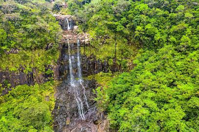
Cascade 500 Pieds
1.3 km
Discover the enchanting beauty of Cascade 500 Pieds, a hiking paradise in Mauritius featuring stunning waterfalls and breathtaking landscapes.
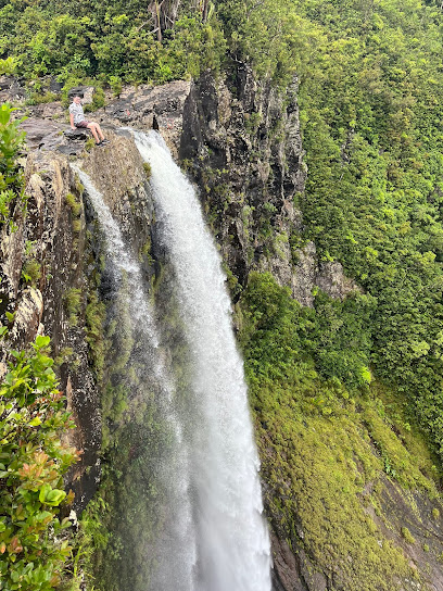
Plaines Champagne
1.4 km
Explore the breathtaking beauty and tranquility of Plaines Champagne, a must-visit tourist attraction in the heart of Mauritius.
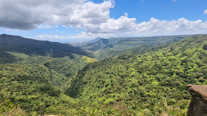
Bassin Blanc
2.1 km
Explore the breathtaking hiking trails of Bassin Blanc, where nature’s beauty and tranquility come together in Mauritius.
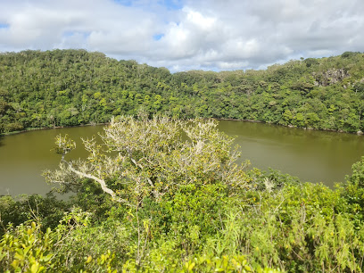
Bassin Blanc view
2.1 km
Discover the serene beauty of Bassin Blanc in Mauritius, an idyllic spot for nature lovers and photographers seeking breathtaking views and tranquility.
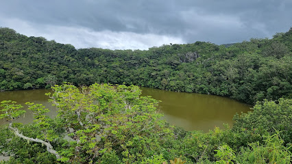
Cascade cheveux d'anges
2.2 km
Explore the serene beauty of Cascade Cheveux d'Anges, a stunning waterfall in Mauritius, surrounded by lush nature and diverse wildlife.
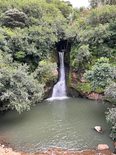
Black River Gorges National Park
2.2 km
Explore the breathtaking landscapes and rich biodiversity of Black River Gorges National Park, a must-visit destination in Mauritius for nature lovers and adventurers.
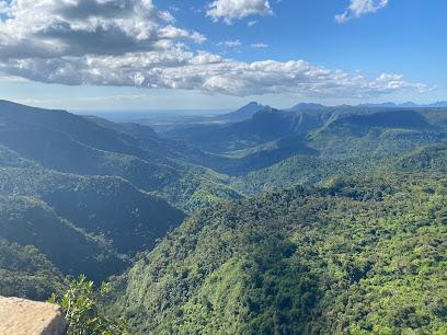
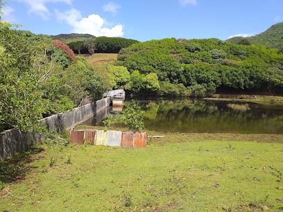
Valriche Dam
2.7 km
Experience the tranquil beauty of Valriche Dam in Chamouny, Mauritius - a nature lover's paradise for relaxation and adventure.
Quad Biking by La Vallée Des Couleurs Nature Park
2.9 km
Discover the thrill of quad biking at La Vallée Des Couleurs Nature Park, where adventure meets the breathtaking beauty of Mauritius.

La Vallée Des Couleurs Nature Park
2.9 km
Experience the breathtaking beauty and exhilarating adventures at La Vallée Des Couleurs Nature Park, a must-visit destination in Mauritius.

Ganga Talao Hall
2.9 km
Discover the serene beauty and spiritual significance of Ganga Talao Hall, a must-visit Hindu temple in the heart of Mauritius.
Pink Pigeon Park
3.0 km
Experience the serene beauty of Pink Pigeon Park, an ecological sanctuary dedicated to the conservation of Mauritius' rare Pink Pigeon species.

Macchabée Forest Hike
3.0 km
Discover the breathtaking beauty and diverse wildlife of the Macchabée Forest Hike in Mauritius, a must-visit for nature enthusiasts and adventure lovers.

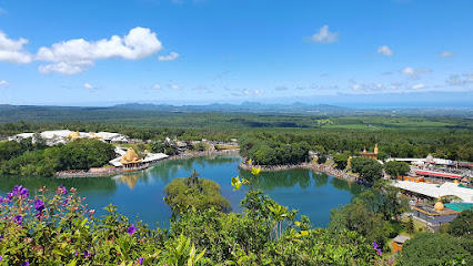
Grand Bassin
3.0 km
Discover the serene beauty and cultural significance of Grand Bassin, a sacred lake in the heart of Mauritius, perfect for spiritual reflection and nature lovers.
Essential places to dine
Magic Spoon Restaurant
4.7 km
Experience exquisite fusion cuisine surrounded by breathtaking views at Magic Spoon Restaurant in Bois Cheri.
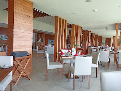
La table du currybou
4.8 km
Discover authentic Mauritian cuisine at La Table du Currybou in Chamarel - where every dish tells a story.

Varangue Sur Morne
5.5 km
Discover culinary excellence at Varangue Sur Morne – where exquisite flavors meet breathtaking views in Mauritius.

Le Bois Cheri Restaurant
5.6 km
Experience exquisite Mauritian cuisine amidst stunning landscapes at Le Bois Cheri Restaurant.
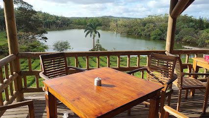
Domaine Papou Chamarel
6.8 km
Experience the authentic taste of Mauritius at Domaine Papou Chamarel – where culinary art meets breathtaking nature.

L’Alchimiste restaurant
7.7 km
Experience exquisite flavors at L’Alchimiste Restaurant in Mauritius – a culinary haven blending local traditions with international flair.
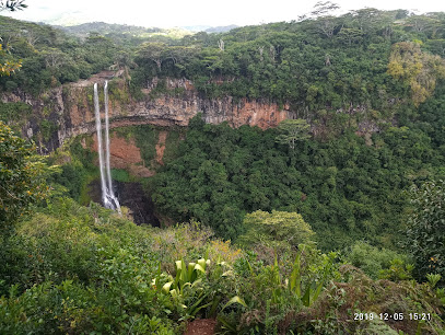
Restaurant Les Palmiers Chez Dev
8.1 km
Discover authentic Mauritian cuisine at Restaurant Les Palmiers Chez Dev in Chamarel – a perfect blend of flavor and natural beauty.
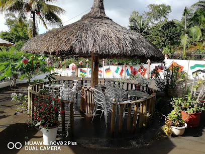
Kot Moukesh
8.1 km
Experience authentic Mauritian cuisine at Kot Moukesh – where every dish tells a story of culture and tradition.
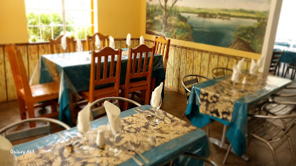
Domaine Papou
8.1 km
Discover authentic Mauritian flavors at Domaine Papou, nestled in the scenic beauty of Chamarel, perfect for food lovers seeking unique culinary experiences.
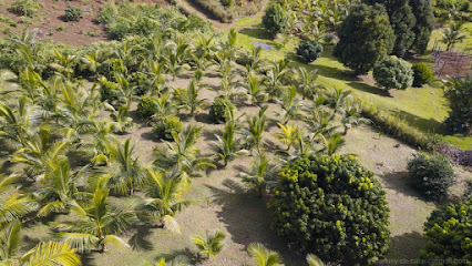
Saveur Tropical
8.1 km
Experience authentic Mauritian cuisine at Saveur Tropical in Chamarel—where every dish is a celebration of local flavors amidst stunning tropical views.
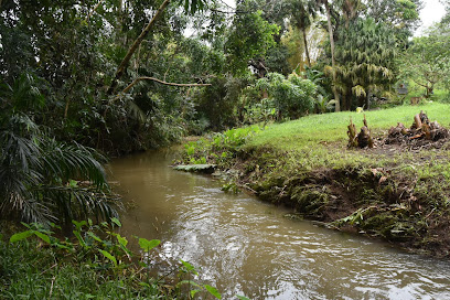
Mich Resto
8.1 km
Experience authentic Mauritian cuisine amidst breathtaking landscapes at Mich Resto in Chamarel.
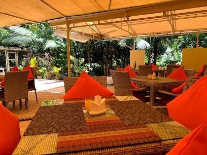
Chez Pierre Paul
8.2 km
Experience authentic Mauritian flavors at Chez Pierre Paul in Chamarel – a culinary treasure surrounded by stunning natural beauty.
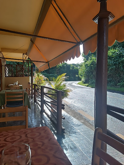
Domaine Du Cachet
8.2 km
Discover exquisite Mauritian cuisine at Domaine Du Cachet in Chamarel amidst breathtaking landscapes.
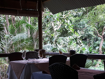
D hote les plum chez dev
8.2 km
Discover authentic Mauritian cuisine at D'Hôtel Les Plumes Chez Dev in Chamarel, where exquisite flavors meet breathtaking views.

Chez Ruben Restaurant
8.3 km
Experience authentic Mauritian cuisine with breathtaking views at Chez Ruben Restaurant in Chamarel.
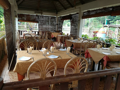
Markets, malls and hidden boutiques
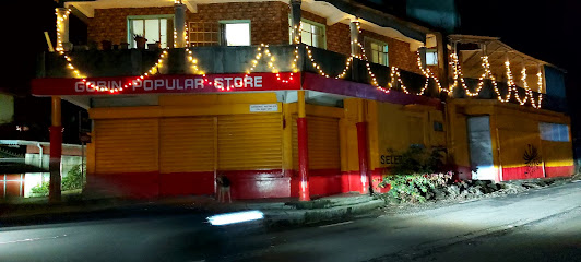
Gobin Brothers Popular Store
5.2 km
Experience the essence of local shopping at Gobin Brothers Popular Store, your gateway to the authentic flavors of Chamouny.
Rise N Rule Shop
5.7 km
Explore the vibrant offerings of Rise N Rule Shop, your go-to supermarket in Chamouny, Mauritius for all essential travel supplies.

sahil boutik
5.9 km
Explore the vibrant culture of Mauritius at Sahil Boutik, a unique store offering local crafts and souvenirs in Chemin Grenier.

Aleesha Accessories
6.0 km
Explore Chamouny's Aleesha Accessories for exquisite cosmetics and personalized beauty advice in a welcoming atmosphere.

SECRET GIFT
6.1 km
Explore the charm of Mauritius through unique locally crafted gifts at Secret Gift in Chemin Grenier.

Fashion Tash
6.2 km
Discover unique styles and local fashion at Fashion Tash in Chemin Grenier, Mauritius - a destination for every fashion enthusiast.

Oozeer collection-Baby point
6.2 km
Discover the Oozeer Collection in Chemin Grenier, your one-stop shop for high-quality baby essentials and friendly service.

Miscellaneous link
6.2 km
Explore a vibrant gift shop in Chemin Grenier, featuring unique Mauritian crafts, souvenirs, and local art that celebrate the island's rich culture.

Magasin Alisha Fashion
6.2 km
Explore the essence of Mauritian fashion at Magasin Alisha Fashion, where local craftsmanship meets contemporary style in Rose Belle.

Climax Clothing Shop
6.3 km
Explore unique styles at Climax Clothing Shop in Chemin Grenier, where local fashion meets exceptional quality and trendy designs.
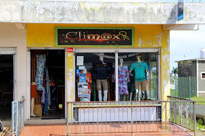
Magasin Ridwan
6.3 km
Explore the vibrant fashion scene at Magasin Ridwan, where unique styles meet Mauritian craftsmanship in the heart of Chemin Grenier.

Reshma Boutique
6.4 km
Explore unique fashion finds at Reshma Boutique in Chemin Grenier, where local style meets international trends for the perfect shopping experience.

Babooram Libre Service
6.4 km
Experience local flavors at Babooram Libre Service, a grocery store in Chemin Grenier that offers fresh produce and unique Mauritian products.

Dream Price Supermarket_Chemin Grenier
6.5 km
Explore the heart of Chemin Grenier at Dream Price Supermarket, where local flavors and everyday essentials come together in a vibrant shopping experience.
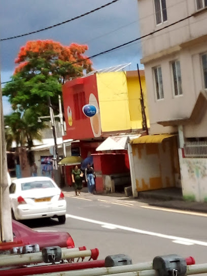
Galaxy Chemin Grenier
6.5 km
Explore Galaxy Chemin Grenier for a diverse selection of electronics and home goods in Mauritius, ensuring quality and service for tourists.

Essential bars & hidden hideouts
Le Chamouzé Restaurant by La Vallée des Couleurs Nature Park
3.3 km
Experience the perfect harmony of exquisite cuisine and stunning nature at Le Chamouzé Restaurant in La Vallée des Couleurs.
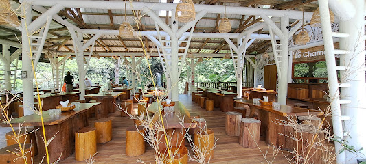
Appanna Bar
5.8 km
Discover the lively spirit of Chamouny at Appanna Bar, a must-visit for tourists seeking great drinks and a vibrant social atmosphere.

LEGS INN BISTROT
5.9 km
Experience the taste of Mauritius at Legs Inn Bistrot, where culinary traditions meet modern dining in a charming atmosphere.

Ninja Noodles
6.2 km
Discover the authentic flavors of Asia at Ninja Noodles, Chemin Grenier's premier destination for noodle lovers seeking a delightful dining experience.

Texas bar
6.6 km
Discover the heart of Chemin Grenier at Texas Bar, where friendly locals and authentic Mauritian culture blend seamlessly.
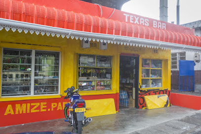
Badamier Bar and Restaurant
6.8 km
Discover the charm of Badamier Bar and Restaurant in Bois Cheri, where vibrant drinks meet a welcoming atmosphere in beautiful Mauritius.

Typical Roti
8.1 km
Discover the authentic taste of Mauritius with delicious rotis and a welcoming atmosphere at Typical Roti in Chamarel.

Nadi'Miel Chamarel
8.2 km
Experience the delightful flavors of Mauritius at Nadi'Miel Chamarel, a café nestled in the stunning landscapes of Chamarel.

Black River Gorges Nature Park
8.7 km
Explore the breathtaking Black River Gorges Nature Park, a national forest in Mauritius, perfect for hiking, wildlife watching, and enjoying stunning landscapes.
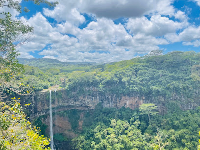
TAKAMAKA
9.0 km
Experience the vibrant atmosphere of Takamaka, a tropical bar in Bel Ombre, Mauritius, where cocktails meet stunning landscapes.
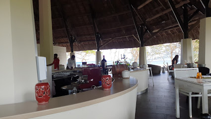
View Bar
9.0 km
Discover the tranquil beauty of Chamarel at View Bar, where stunning views and refreshing drinks create an unforgettable experience.

Pôt au Feu Resto
9.1 km
Experience the best of Mauritian cuisine at Pôt au Feu Resto in Riambel, where local flavors meet culinary artistry.
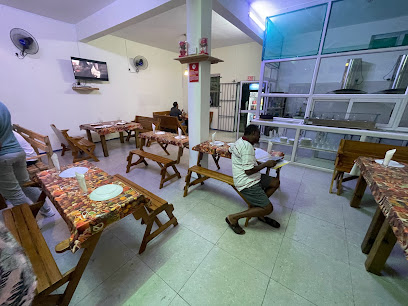
The Cavendish
10.0 km
Discover the vibrant nightlife at The Cavendish in Bel Ombre, where friendly vibes and delicious drinks create unforgettable memories.
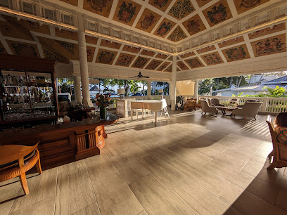
Cocoshack
10.1 km
Experience the ultimate relaxation at Cocoshack in Bel Ombre, where local flavors meet stunning tropical views.
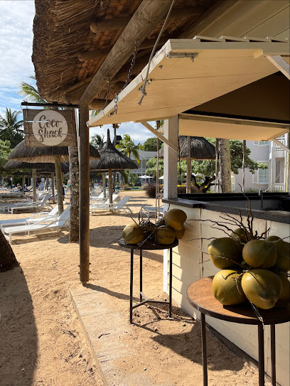
Kuzini
10.1 km
Experience authentic Italian cuisine at Kuzini in Bel Ombre, Mauritius, where every dish is crafted with passion and served in a stunning setting.
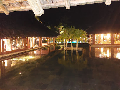
Nightclubs & after hour spots
Ganga Talao
3.0 km
Discover Ganga Talao, a serene Hindu temple in Mauritius, where nature meets spirituality, offering a unique cultural experience for every traveler.

ensar bülbül burdaydı
6.5 km
Dive into the exhilarating nightlife of Surinam at Ensar Bülbül Burdaydı, a top night club offering unforgettable experiences and vibrant entertainment.

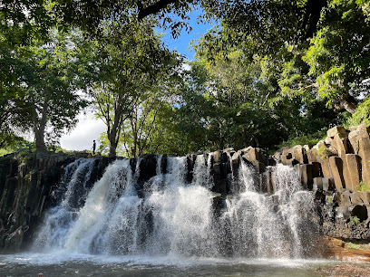
Parking SUD de Rochester Falls
9.2 km
Convenient parking near the picturesque Rochester Falls, perfect for tourists exploring the natural beauty of Mauritius.
Heritage Golf Club - Le Chateau
9.9 km
Explore the exquisite Heritage Golf Club - Le Chateau, where luxury meets breathtaking golfing in the heart of Mauritius.

Ebony Forest Reserve Chamarel
10.0 km
Explore the breathtaking Ebony Forest Reserve Chamarel, a haven for nature lovers with stunning trails and unique wildlife in Mauritius.
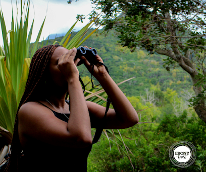
Adventure Club meets Here
10.1 km
Discover the breathtaking hiking trails of Mauritius at the Adventure Club, where nature meets adventure amidst stunning landscapes.

Enso Restaurant & Lounge Bar
11.3 km
Discover the vibrant flavors of Mauritius at Enso Restaurant & Lounge Bar, where local cuisine meets international flair in a stunning setting.

Yemen Experience party
11.7 km
Experience the vibrant nightlife of Flic en Flac at Yemen Experience Party, where music, dancing, and unforgettable memories await.

Babs Pub
12.2 km
Discover the vibrant nightlife at Babs Pub in Vacoas-Phoenix, where lively music and a friendly atmosphere await every night.

EndZone Bar(24/7)
13.4 km
Experience the lively atmosphere and delicious grilled cuisine at EndZone Bar, your 24/7 culinary haven in the heart of Curepipe, Mauritius.

Xindix Nite klub
14.6 km
Discover the pulse of Curepipe's nightlife at Xindix Nite Klub, a hotspot for dance, music, and unforgettable moments under vibrant lights.

La Bonne Chute Restaurant & Bar
14.9 km
Experience the vibrant culinary scene at La Bonne Chute Restaurant & Bar in Tamarin, Mauritius, where local flavors meet international cuisine.
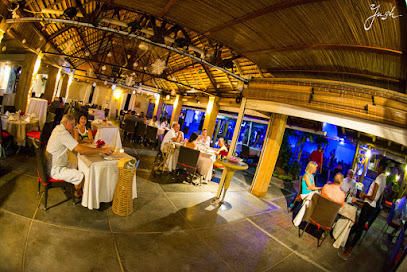
Big Willy's
14.9 km
Discover the lively atmosphere of Big Willy's, a top night club in Mauritius known for its delicious tapas, vibrant music, and unforgettable nights.

Moustache Bistro
15.0 km
Experience the vibrant flavors of Moustache Bistro, Tamarin's best tapas bar, where every dish tells a story of culinary excellence.

Night club
15.3 km
Experience the vibrant nightlife of Vacoas-Phoenix at its premier night club, where music, dancing, and excitement come alive.


