
Discover the Majestic Heights of Le Pouce
Explore Le Pouce, a stunning hiking area in Mauritius, where breathtaking views and lush landscapes await nature lovers and adventurers alike.
Le Pouce, a breathtaking hiking area in Mauritius, invites tourists to explore its stunning landscapes and experience the beauty of nature at its finest. With panoramic views and diverse flora and fauna, it's a must-visit for nature lovers and adventure seekers alike.
A brief summary to Top of Le Pouce - Hiking and Exploring Mauritius
- RG2H+QGF, St Pierre, MU
Local tips
- Start your hike early in the morning to avoid the midday heat and enjoy the best views.
- Wear sturdy hiking shoes for better traction on the rocky paths.
- Bring plenty of water and snacks, as there are limited facilities along the trail.
- Consider visiting during the cooler months for a more comfortable hiking experience.
- Respect the local wildlife and stay on marked paths to preserve the natural habitat.
Getting There
-
Car
If you are driving, start from Moka and head west on the M1 highway towards Quatre Bornes. Take the exit towards the M3 road towards Curepipe. Continue on the M3 for approximately 10 km until you reach the turnoff for St Pierre. Follow the signs for St Pierre, and then navigate to RG2H+QGF. There is limited parking available near the hiking trailhead, so arrive early to secure a spot.
-
Public Transportation
From Moka, take bus number 198 towards Curepipe. This bus will take you directly to Curepipe. From Curepipe, transfer to a bus heading towards St Pierre. Ask the driver to drop you off at the closest stop to RG2H+QGF. After getting off, you may need to walk a short distance to reach the trailhead. Be sure to check the bus schedules for timings as they may vary.
-
Walking
Once you arrive at the trailhead at RG2H+QGF, prepare for the hike. The trail is well-marked, but it's advisable to wear sturdy shoes and carry water. The hike offers stunning views of the surrounding areas, and it takes approximately 2 to 3 hours to reach the summit, depending on your fitness level. Make sure to check the weather before starting your hike to ensure safety.
Discover more about Top of Le Pouce - Hiking and Exploring Mauritius
Iconic landmarks you can’t miss
Moka Range
0.5 km
Explore the breathtaking Moka Range in Mauritius, where lush landscapes meet adventure and tranquility in a stunning natural paradise.

Le Pouce Start Point from Moka
1.1 km
Discover the exhilarating beauty of Le Pouce Start Point, the gateway to breathtaking hikes and stunning views in Mauritius.
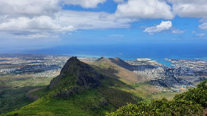
Le Pouce - Wes Aventure Randonnées
1.7 km
Discover the breathtaking trails of Le Pouce - Wes Aventure Randonnées in St Pierre, Mauritius, for an unforgettable hiking experience amidst nature's beauty.
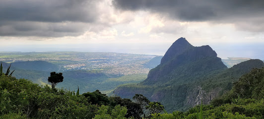
Mine St Pierre (Mangouste)
2.6 km
Discover authentic Mauritian flavors at Mine St Pierre (Mangouste), a culinary haven in St Pierre, perfect for every discerning palate.
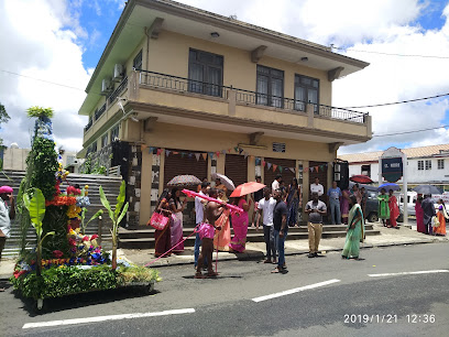
Pieter Both
2.9 km
Explore the breathtaking Pieter Both, a natural beauty spot in Mauritius, offering stunning views and unforgettable hiking experiences.
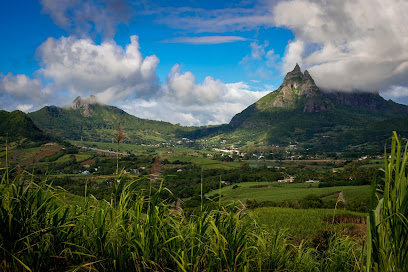
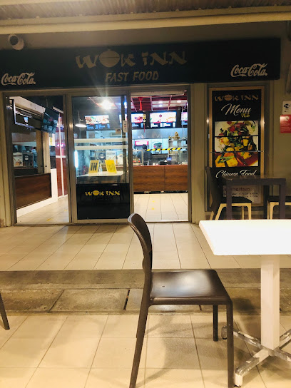
Wok Inn Fast Food
2.9 km
Savor authentic Cantonese flavors at Wok Inn Fast Food in Moka – a must-visit for those craving delicious and quick meals.
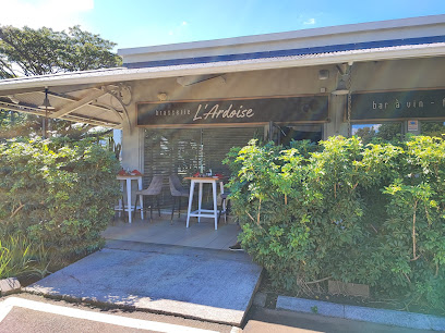
L'Ardoise Brasserie
3.0 km
Discover the exquisite flavors of French cuisine at L'Ardoise Brasserie, a charming bistro in Moka, Mauritius, perfect for food lovers and tourists alike.
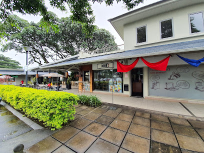
MOKA'Z
3.0 km
Experience the best coffee in Mauritius at MOKA'Z, a cozy cafe in the heart of Helvetia Shopping Centre, perfect for relaxation and light dining.
La Cantine by Zakadi
3.0 km
Discover the flavors of Mauritius at La Cantine by Zakadi, a delightful restaurant in Moka offering fresh, locally-sourced dishes in a warm atmosphere.

Escale Créole restaurant créole Ile Maurice
3.2 km
Discover the authentic taste of Mauritius at Escale Créole, where vibrant flavors and warm hospitality meet in a delightful culinary experience.
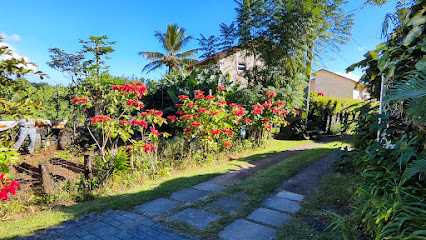
Les Jardins de Chantenay
3.4 km
Experience tranquility and community at Les Jardins de Chantenay, a peaceful retreat in the heart of Moka, Mauritius.
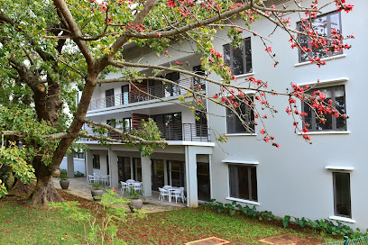
Port Louis Gymkhana
3.5 km
Discover the historic charm and luxurious ambiance of Port Louis Gymkhana, a premier event venue in the heart of Mauritius' capital, Port Louis.
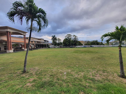
Camp Auguste
3.7 km
Experience the tranquility of Camp Auguste, a charming lodging option in Moka, Mauritius, surrounded by lush landscapes and local culture.

La Toscana Ristorante
3.8 km
Discover the authentic taste of Italy at La Toscana Ristorante in Moka, Mauritius, where every meal is a delightful culinary journey.
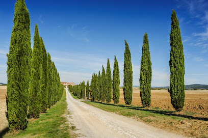
Meltin' Potes
3.8 km
Experience a fusion of local flavors and international cuisine at Meltin' Potes in Moka Business Park, Mauritius.
Unmissable attractions to see
Le Pouce Mountain Peak
0.0 km
Explore the breathtaking views and lush landscapes at Le Pouce Mountain Peak in Mauritius, a must-visit for adventure seekers and nature lovers.
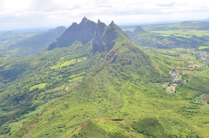
Le Pouce
0.8 km
Explore Le Pouce, a stunning mountain peak in Mauritius, offering breathtaking views, rich biodiversity, and unforgettable hiking experiences.
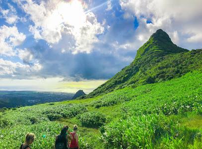
Le Pouce Mountain - Mauritius Friendly
1.1 km
Explore the breathtaking trails of Le Pouce Mountain in Mauritius, where stunning views and lush landscapes await every adventurer.
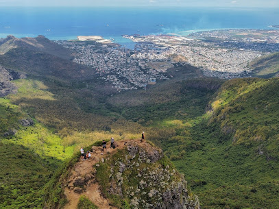
Le Pouce - Hiking and Exploring Mauritius meeting point
1.1 km
Explore the breathtaking trails of Le Pouce, Mauritius' iconic hiking destination, offering stunning views and rich natural beauty.
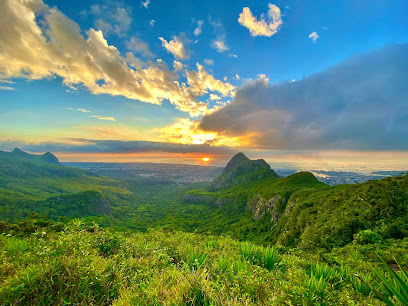
Goon
1.3 km
Experience the breathtaking views and serene beauty of Goon at Le Pouce Summit, Mauritius' stunning tourist attraction.
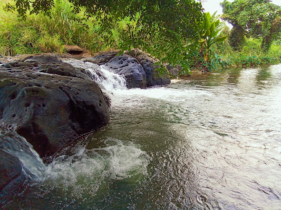
Cascade lazar Dauguet
1.5 km
Discover the breathtaking beauty of Cascade Lazar Dauguet, a hidden hiking gem in Port Louis, Mauritius that promises serene landscapes and adventure.
Snail Rock
1.9 km
Explore Snail Rock: A Hidden Hiking Paradise near Port Louis with Stunning Views and Serene Trails for Nature Lovers.
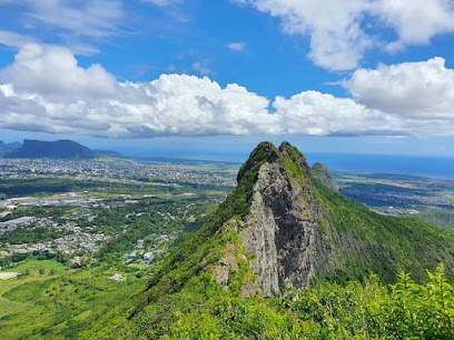
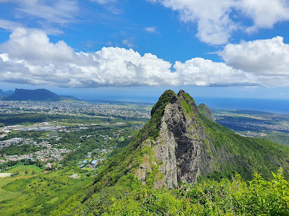
Guiby Mountain
2.0 km
Explore the breathtaking trails of Guiby Mountain in Moka, Mauritius – a must-visit paradise for hiking and nature lovers.
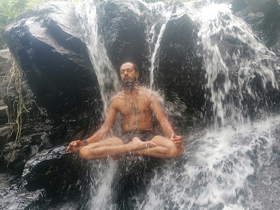
Le Dauguet
2.1 km
Explore the serene beauty of Le Dauguet Park in Mauritius, a tranquil escape perfect for relaxation, meditation, and enjoying nature's splendor.
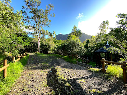
Goat Rock
2.8 km
Experience the stunning vistas and rich biodiversity of Goat Rock, a must-visit hiking area in Mauritius for nature lovers and adventure seekers.
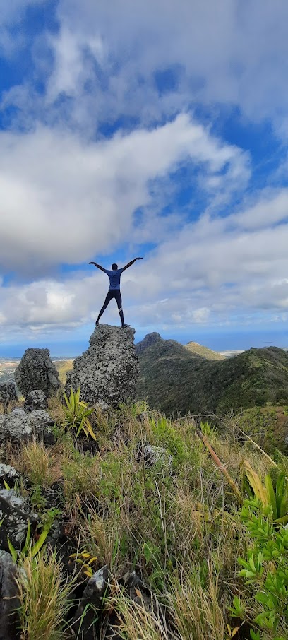
Vallée des Prêtres Viewpoint
3.1 km
Explore Vallée des Prêtres Viewpoint in Port Louis for stunning panoramic views and a serene escape into Mauritius's natural beauty.
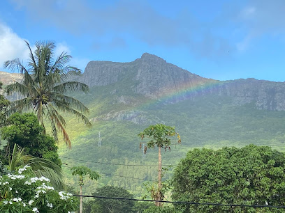
Malenga view point
3.3 km
Discover the breathtaking views at Malenga View Point, a must-see destination in La Laura-Malenga, Mauritius, for nature lovers and photographers alike.
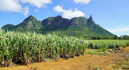
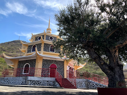
Thien-Thane Pagode
3.3 km
Explore Thien-Thane Pagode in Port Louis, a serene and culturally rich Buddhist sanctuary amidst the vibrant landscapes of Mauritius.
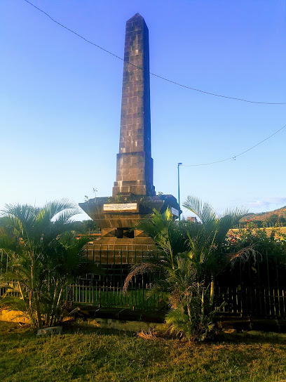
Tombeau Malartic
3.5 km
Explore Tombeau Malartic in Port Louis: A captivating historical site showcasing Mauritius's rich cultural heritage and stunning architecture.
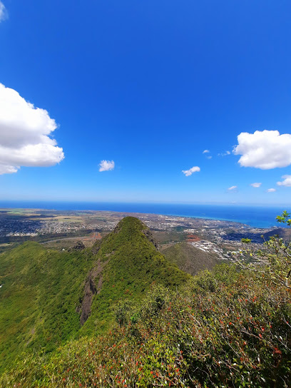
Junction Peak
3.5 km
Explore the scenic trails and breathtaking views of Junction Peak, a must-visit hiking destination in Mauritius for nature lovers and adventure seekers.
Essential places to dine
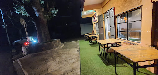
Viva La Pizza Moka
3.0 km
Experience authentic Italian pizza at Viva La Pizza Moka – a must-visit culinary delight in Mauritius.
L'Assiette d'Antan
3.8 km
Experience the vibrant flavors of Mauritius at L'Assiette d'Antan, where traditional cuisine meets warm hospitality.
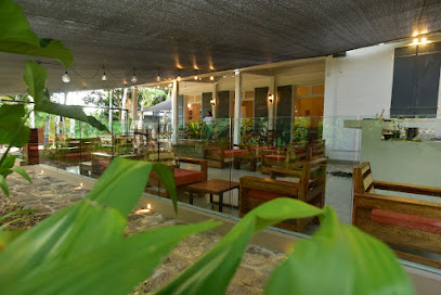
Spice 'N' Smoke
3.9 km
Discover authentic Indian flavors at Spice 'N' Smoke in Moka—where every dish tells a story of tradition and taste.

Live Cooking
4.1 km
Discover the vibrant flavors of Mauritius at Live Cooking in Port Louis - where fast food meets culinary artistry.
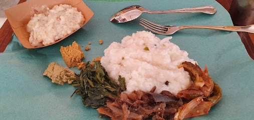
Food Chest Restaurant
4.2 km
Discover authentic Mauritian cuisine at Food Chest Restaurant in Port Louis – a culinary delight for every palate!

Cuisine à Point
4.3 km
Experience authentic Mauritian cuisine at Cuisine à Point in Moka - where local flavors meet cultural heritage.
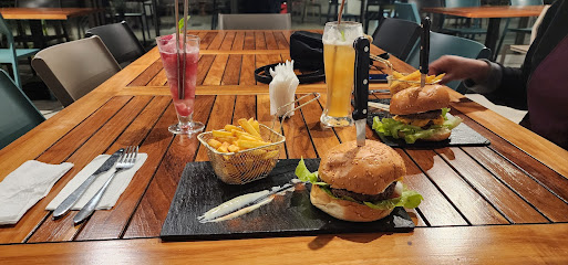
YO! Bistrot
4.3 km
Experience the best of Mauritian cuisine at YO! Bistrot – where every meal is a delightful journey through local flavors.
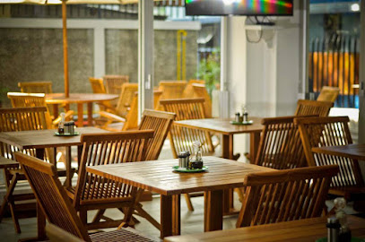
Le Bardo Restaurant
4.6 km
Experience authentic Mauritian flavors at Le Bardo Restaurant in Port Louis - a delightful dining spot for every traveler.
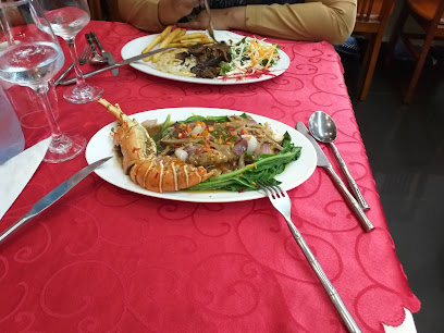
Red Phoenix Restaurant
4.6 km
Experience authentic Chinese flavors at Red Phoenix Restaurant in Port Louis - A must-visit dining destination for every traveler.

Kisasa Restaurant
4.6 km
Experience the vibrant flavors of Mauritius at Kisasa Restaurant in Port Louis - where tradition meets taste.
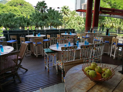
Smasher Port Louis
4.6 km
Experience delicious American cuisine at Smasher Port Louis, where every meal is a celebration of flavors in Mauritius' vibrant capital.

Dimashk
4.6 km
Experience the vibrant flavors of Mauritian cuisine at Dimashk in Port Louis—a culinary gem blending tradition with modern taste.

Lea Cafe
4.7 km
Experience authentic Mauritian cuisine at Lea Cafe – where local flavors meet international flair in the heart of Port Louis.

SOMAZA Delight
4.7 km
Discover the vibrant flavors of Mauritius at SOMAZA Delight – where culinary excellence meets warm hospitality in Port Louis.

Namo india
4.7 km
Experience authentic Indian cuisine at Namo India in Port Louis; a culinary journey filled with vibrant flavors and aromatic spices awaits.
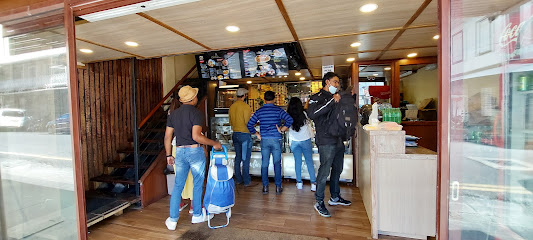
Markets, malls and hidden boutiques
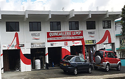
Quincaillerie LEPEP
2.6 km
Explore Quincaillerie LEPEP in Moka for quality tools and construction materials, perfect for DIY projects and souvenirs.
The Good Shop Moka, Vivéa Business Park
2.8 km
Explore sustainable shopping at The Good Shop Moka in Vivéa Business Park – a haven for thrift enthusiasts seeking unique finds.

Fashion Heights Ltd
2.9 km
Discover the latest fashion trends at Fashion Heights Ltd in Moka, offering a diverse selection of stylish apparel and accessories for every occasion.

Sunita Shop
3.3 km
Explore local flavors and snacks at Sunita Shop, Moka's charming supermarket for tourists and locals alike.

Fancy Dreams Ltd
3.4 km
Explore the artistic heart of Mauritius at Fancy Dreams Ltd, where handcrafted treasures await every visitor.

Le Rendez-Vous | St Pierre
3.5 km
Explore the vibrant local culture at Le Rendez-Vous in St Pierre, where quality meets Mauritian craftsmanship in a delightful shopping experience.

Desi Trends Boutique
3.8 km
Explore the vibrant fashion scene of Moka at Desi Trends Boutique, where local culture meets contemporary style in unique clothing selections.
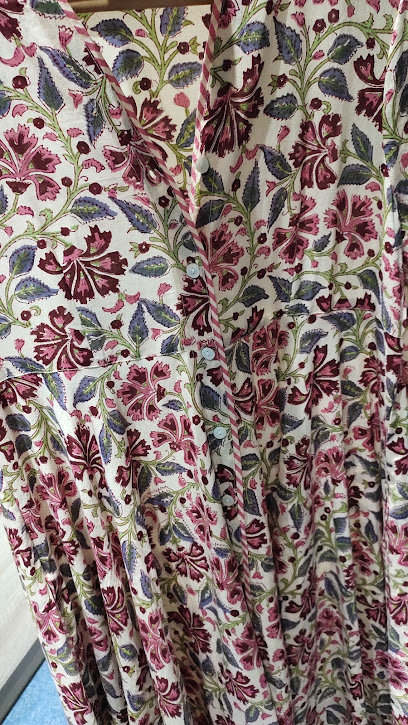
La Maison Du Gourmet
3.8 km
Discover culinary treasures at La Maison Du Gourmet, Moka's premier gourmet grocery store offering exquisite local and international delicacies.
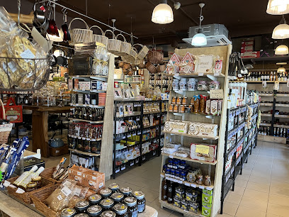
Mo Ti Shop
3.8 km
Discover the charm of Mo Ti Shop in Moka, a perfect convenience store for snacks, essentials, and local treats amid your travels.

Ah King Store
3.9 km
Explore authentic local products at Ah King Store, a must-visit destination in Moka, Mauritius, for unique treasures and cultural experiences.
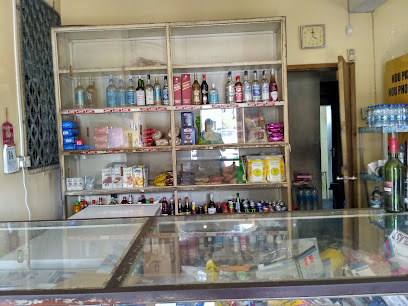
Bwell Shopping
3.9 km
Explore Bwell Shopping in Moka, Mauritius, for quality home goods, beauty products, and essential hygiene items that enhance your travel experience.
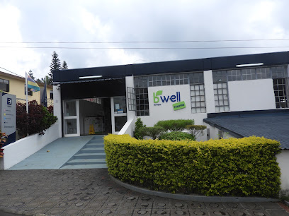
Orgone Crystals
4.1 km
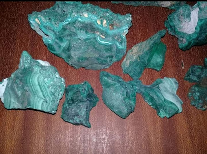
Explore the enchanting world of Orgone Crystals, a serene gift shop in Moka, offering unique natural stones and spiritual treasures.
Trollbeads Flagship Store Bagatelle Mall of Mauritius
4.4 km
Explore the Trollbeads Flagship Store in Bagatelle Mall for unique handcrafted jewelry that tells your story in beautiful beads and charms.

Woolworths
4.4 km
Discover an exceptional shopping experience at Woolworths in Moka, where local culture meets quality products for every traveler.

Vrindavan's Pani Puri
4.4 km
Discover the authentic flavors of India at Vrindavan's Pani Puri in Bagatelle Mall, where delightful sweets and savory snacks await.

Essential bars & hidden hideouts
Gaby Resto & Pub
2.4 km
Discover the vibrant nightlife at Gaby Resto & Pub in St Pierre, Mauritius, where delicious drinks and lively atmosphere meet.

Bar & Magasin Nationale
3.4 km
Discover the vibrant atmosphere of Bar & Magasin Nationale, a top bar in Port Louis where local charm meets refreshing drinks, perfect for tourists.
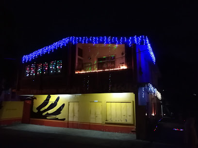
Blacksheeep Telfair
4.2 km
Experience the rich flavors of Mauritius at Blacksheeep Telfair, where culinary creativity meets local ingredients for an unforgettable dining experience.

Nicolas Ile Maurice
4.5 km
Discover an exquisite selection of wines, beers, and spirits at Nicolas Ile Maurice, the ultimate destination for beverage enthusiasts in Mauritius.
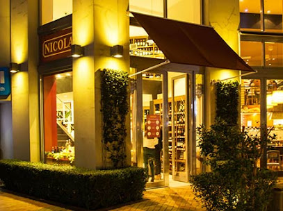
Côte Jasmin Jardin Bar
4.7 km
Experience the essence of Mauritius at Côte Jasmin Jardin Bar, where refreshing drinks meet a lush tropical atmosphere.
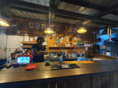
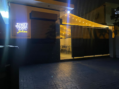
Street Food Junkies
4.9 km
Experience the vibrant flavors of local cuisine at Street Food Junkies, a top fast food destination in Moka, Mauritius.
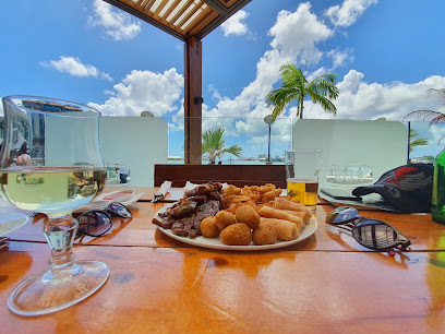
Keg and Marlin
5.1 km
Discover the vibrant atmosphere of Keg and Marlin, a premier pub at Le Caudan Waterfront in Port Louis, Mauritius, offering great drinks and delicious food.
Chez Taton
5.3 km
Experience the vibrant nightlife of Port Louis at Chez Taton, where affordable drinks and a lively atmosphere await every tourist.

Disco resto
6.0 km
Discover the vibrant heart of Port Louis at Disco Resto, where drinks, music, and lively atmosphere come together for an unforgettable experience.

Bar Le Duc Chassé
6.0 km
Discover the vibrant atmosphere of Bar Le Duc Chassé in Esperance, where local flavors and delightful drinks create unforgettable memories.
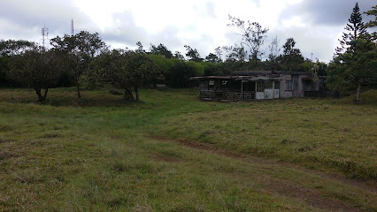
Backstage Lounge Bar at Hennessy Park
6.4 km
Experience the vibrant nightlife at Backstage Lounge Bar in Quatre Bornes, Mauritius, where cocktails and local flavors meet chic ambiance.
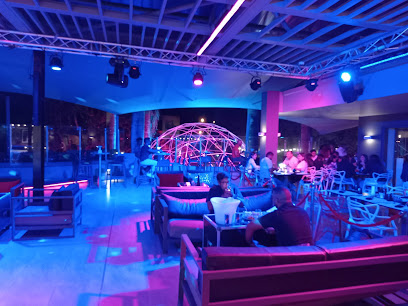
Cyclone
6.5 km
Experience the flavors of Cyclone, a top-notch restaurant in Cybercity Ebene, blending bistro charm with a sophisticated wine cellar ambiance.
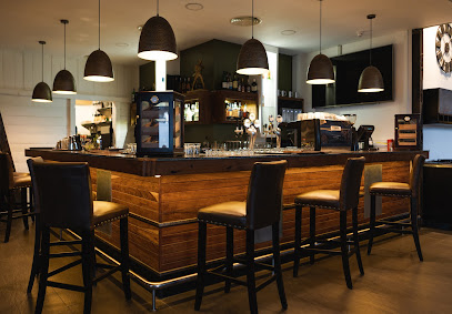
HY EBENE - Epicurean Cuisine & Sky Pub
6.8 km
Discover the ultimate dining and nightlife experience at HY EBENE, where culinary excellence meets stunning views in Ebene Cybercity, Mauritius.

Fakira bar
6.9 km
Experience the vibrant ambiance of Fakira Bar in Notre Dame, where delightful cocktails meet a cozy atmosphere for an unforgettable night out.
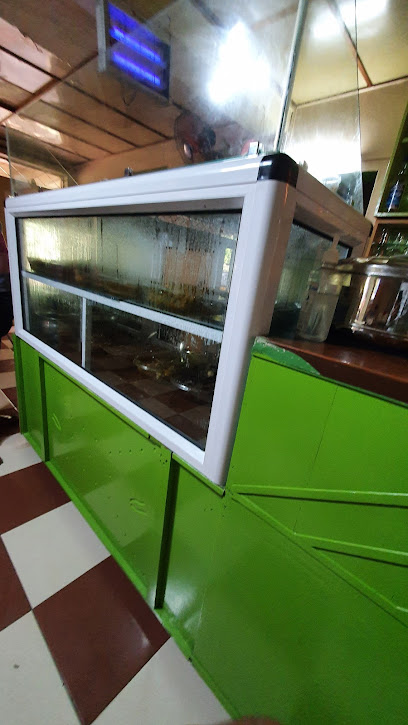
The Sports Bar & Restaurant
7.5 km
Discover the ultimate sports viewing experience at The Sports Bar & Restaurant, where delicious food meets an exhilarating atmosphere in Beau Bassin-Rose Hill.
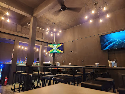
Nightclubs & after hour spots
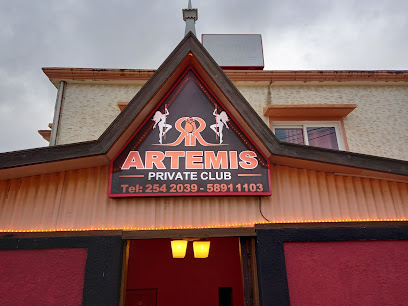
Artemis night club
3.4 km
Dance the night away at Artemis Night Club in Port Louis, where vibrant music and an electrifying atmosphere meet for an unforgettable nightlife experience.
Executive Club
6.4 km
Discover the vibrant nightlife of Beau Bassin-Rose Hill at Executive Club, where dancing and entertainment come alive in a lively atmosphere.

The Platinum Club
6.4 km
Discover the vibrant nightlife at The Platinum Club in Beau Bassin-Rose Hill, where unforgettable nights and great music come together.
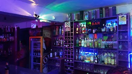
Loto
7.7 km
Experience the electrifying nightlife at Loto Night Club in Beau Bassin-Rose Hill, where music and dance come alive in an unforgettable atmosphere.

Redason leocadie
8.3 km
Experience the vibrant nightlife of Port Louis at Redason Leocadie, where music, dance, and culture come together for an unforgettable night.

Club
9.2 km
Discover the vibrant nightlife at Club Quartier-Militaire, where music, dance, and unforgettable moments come together in an electrifying atmosphere.

Queen's Club
9.9 km
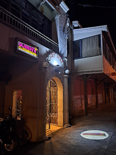
Dive into the vibrant nightlife at Queen's Club, the ultimate disco club in Quatre Bornes, Mauritius, known for its lively atmosphere and Mauritian music.
Halal bar
10.0 km
Experience the vibrant flavors of halal cuisine at the Halal Bar in Ilot, a culinary gem for food lovers and tourists alike.

DOMAH SHEZAAD
10.4 km
Discover the vibrant atmosphere and exquisite offerings of Domah Shezaad, a top lounge destination in Vacoas-Phoenix, Mauritius.

La Source football ground\ famous community
11.0 km
Discover the vibrant nightlife at La Source Football Ground, a community hub in Quatre Bornes where music, dance, and local culture come alive!

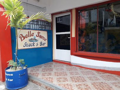
Belle Source Snack & Bar
11.2 km
Experience the vibrant essence of Mauritius at Belle Source Snack & Bar, where local flavors meet friendly service in a welcoming atmosphere.
Lion's Den club
11.5 km
Discover the electrifying nightlife at Lion's Den Club in Vacoas-Phoenix, where music and dance unite for an unforgettable experience.

Night club
12.1 km
Experience the vibrant nightlife of Vacoas-Phoenix at its premier night club, where music, dancing, and excitement come alive.
L'Ocean
12.2 km
Discover L'Ocean in Pamplemousses, where exquisite seafood meets stunning ocean views in a relaxing dining atmosphere.

Maëva Bd Party
12.3 km
Dive into the vibrant nightlife of Albion at Maëva Bd Party, the hottest night club in Mauritius for dancing and entertainment.


