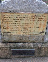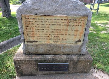
Stone Marking Old Natchez Trace
Stone Marking Old Natchez Trace
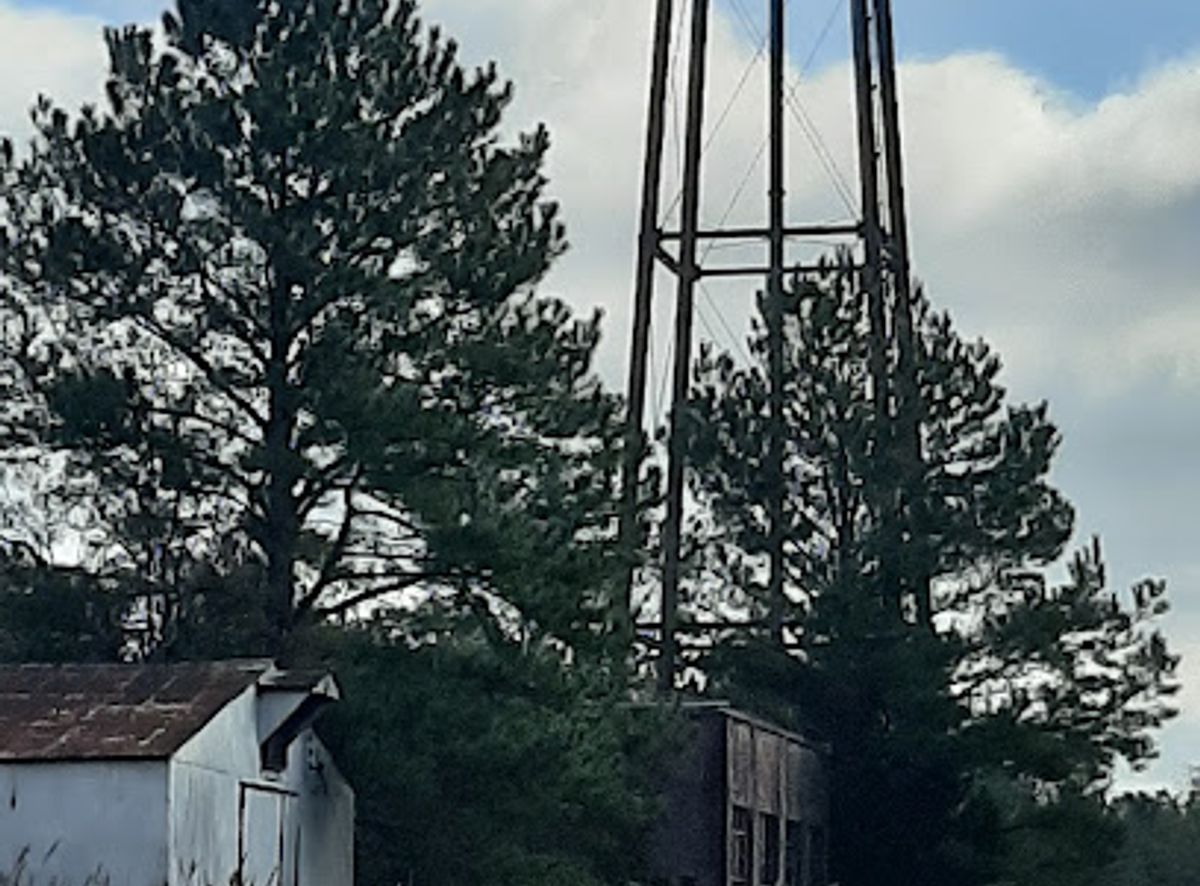
Explore a unique piece of engineering history: the Mississippi River Basin Model, a massive, open-air replica of the Mississippi River watershed.
The Mississippi River Basin Model, located in Jackson, Mississippi, is a large-scale hydraulic model of the Mississippi River basin. Built between 1943 and 1966, the 200-acre model was used to simulate flood conditions and test the effects of flood control measures before the advent of computer modeling. Today, it sits derelict but open to the public in Buddy Butts Park, offering a unique glimpse into engineering history.
Opening times, essentials, and a few local tips gathered into one calmer, easier-to-scan planning section.
Driving
If you're driving from downtown Jackson, MS, head west on Capitol Street. Continue onto US-80 W/W Capitol St. Turn right onto McRaven Rd. The Mississippi River Basin Model is located at 6180 McRaven Rd, Jackson, MS 39209, on the right. Free parking is available on-site.
Public Transport
From downtown Jackson, take a Jackson Transit Authority (JTRAN) bus route that heads toward McRaven Road. Ask the driver to notify you when you reach McRaven Road. After getting off the bus, walk approximately 0.5 miles west on McRaven Road to reach the Mississippi River Basin Model at 6180 McRaven Rd. A single JTRAN fare is approximately $1.25.
Use Mississippi River Basin Model as your starting point for nearby food, family ideas, nightlife, and more local discoveries.

Explore expert travel guides, compare and book tours, experiences, hotels, and more—all from the palm of your hand. Download now for seamless trip planning wherever your wanderlust takes you.
Discover Jackson, Mississippi: A vibrant blend of history, music, and Southern charm in the heart of the South.
Tell me more about Jackson