

Free Loess Hills Travel Guide & Mobile App
Explore Loess Hills with free travel guides. Discover regional history, expert tips, proposed trips, and audio guides on web or mobile app.


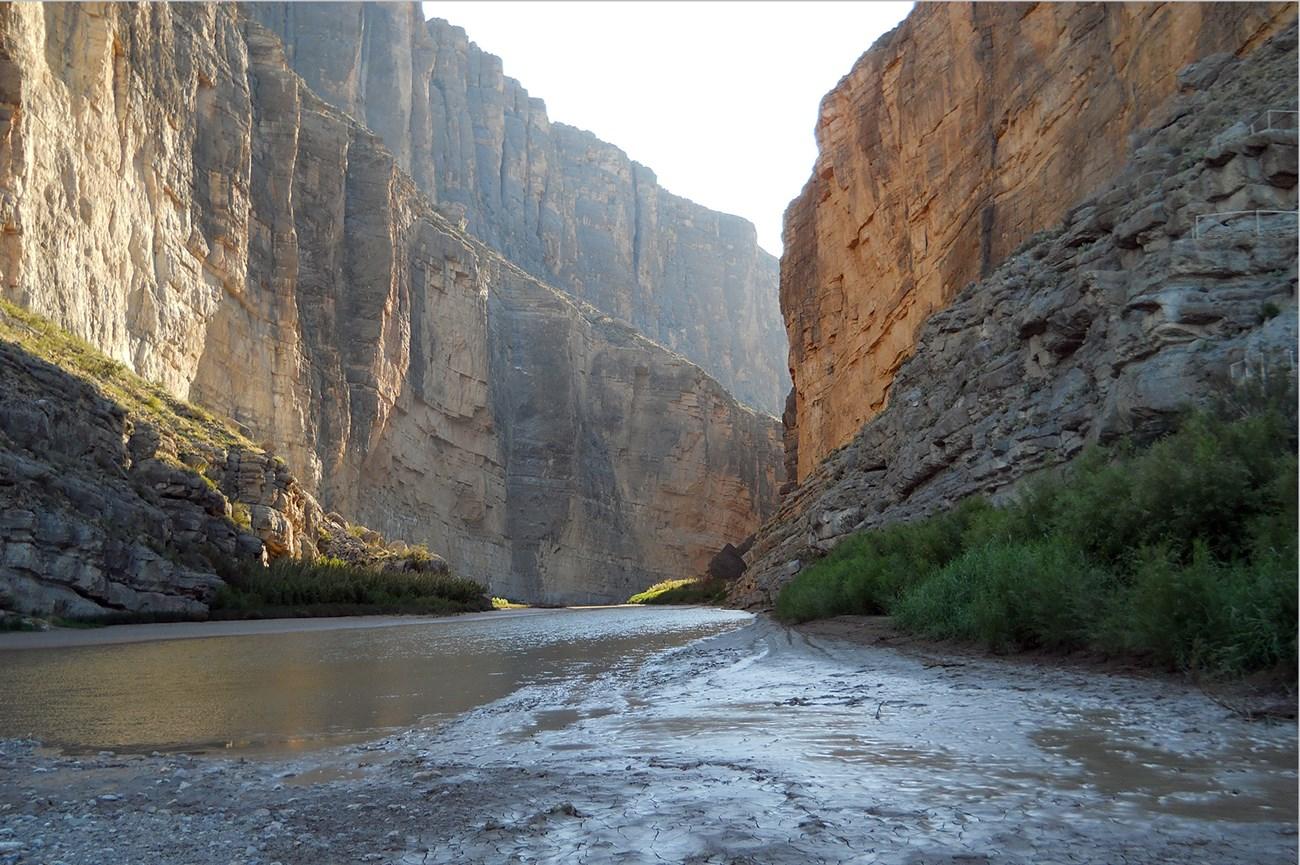


Explore Missouri’s Loess Hills through river history, migratory wetlands, rural roads, wildlife refuges and historic north-western towns.
Read more about Loess Hills
Getting to and around Loess Hills
How to get there
Transportation
Best attractions in Loess Hills
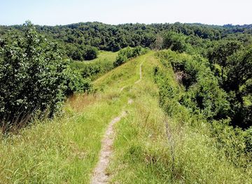
The Missouri section of the Loess Hills offers a dispersed collection of natural, historical and rural attractions. Loess Bluffs National Wildlife Refuge near Mound City is the principal nature destination, with wetlands, open water and refuge roads that attract large numbers of migratory birds at particular times of year. Its significance lies in the contrast between the protected floodplain habitat and the cultivated uplands surrounding it. Big Lake State Park, near Craig, provides a different setting of oxbow water, woodland, camping and low-key recreation. St Joseph, outside the core rural Loess Hills but the region’s main visitor centre, adds substantial cultural depth through museums, historic houses and transport history. Smaller communities, local cemeteries, farm-country roads and river landscapes offer quieter encounters with north-western Missouri’s settlement history. Outdoor activities are generally birdwatching, fishing, wildlife photography, boating where permitted, walking and scenic driving rather than extensive mountain-style hiking. The attraction landscape is therefore defined by space, seasonal change and the relationship between loess uplands, Missouri River wetlands and communities established along historic travel routes.
-
Wildlife refuge
Loess Bluffs National Wildlife Refuge
Discover the breathtaking landscapes and diverse wildlife at Loess Bluffs National Wildlife Refuge, a must-visit destination in Missouri.
-
Wildlife refuge
Loess Bluffs NWR Welcome Center
Explore the serene landscapes and diverse wildlife at Loess Bluffs National Wildlife Refuge, a hidden gem in Missouri for nature enthusiasts and birdwatchers.

Explore Loess Hills on the map
Plan your trip on one map. See where the top cities, national parks and sights are, and book hotels and experiences in a few clicks.
Best hotels in Loess Hills
Best restaurants in Loess Hills
Dining in the Missouri Loess Hills is shaped more by small-town and regional American food culture than by a concentrated culinary scene. St Joseph has the widest range of restaurants, cafés, bakeries and casual dining, while smaller communities tend towards family-run restaurants, diners, cafés and community-oriented eateries. Expect familiar Midwestern cooking, including burgers, fried chicken, sandwiches, barbecue and breakfast dishes, alongside seasonal produce from the surrounding agricultural country. Missouri’s wider barbecue tradition is present, although the rural north-western landscape does not have one single dish that defines the Loess Hills. Farmers’ markets and roadside stands may offer fruit, vegetables, baked goods and locally produced items when in season. Near parks and refuges, food options can be sparse, so visitors should carry water and plan meals before setting out. The most distinctive dining experience is often the combination of an unhurried small-town meal with views of farmland, wetlands or river country rather than formal destination dining.
-
Restaurant
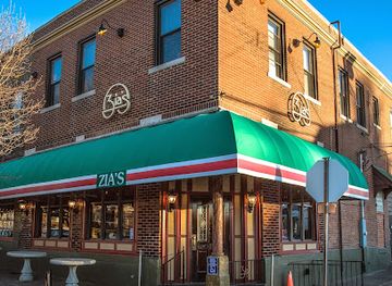
Zia's on The Hill
Experience authentic Italian cuisine at Zia's on The Hill in St. Louis - where every dish tells a story.
-
Restaurant
Top of the Rock Ozarks Heritage Preserve
Explore breathtaking views and fine dining at Top of the Rock Ozarks Heritage Preserve—an unforgettable experience in Missouri's stunning landscape.
-
Italian
Charlie Gitto's On the Hill
Discover authentic Italian dining at Charlie Gitto's On the Hill in St. Louis - where tradition meets fine cuisine.
-
Steak
Twisted Tree Steakhouse
Experience exquisite steaks and fresh seafood at Twisted Tree Steakhouse in St. Louis—where fine dining meets exceptional service.


Best bars in Loess Hills
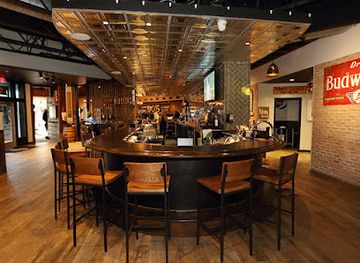
Evening life in the Missouri Loess Hills is low-key and concentrated in local bars, restaurants, taverns and community venues rather than nightclubs. St Joseph provides the broadest choice, including downtown bars, casual drinks, occasional live music and cultural events, while the smaller towns have intimate establishments serving local residents and travellers. Rural evenings are more likely to involve a meal, a drink in a neighbourhood bar or an event at a community venue than a late-night entertainment district. Visitors should not expect frequent public transport between towns or a dense concentration of venues, so arrange a safe return journey before drinking. Breweries and distilleries may appear in the wider north-western Missouri market, but availability changes over time and should be checked locally. The region’s evening character is best understood as social and community-based rather than club-oriented.
-
Bar
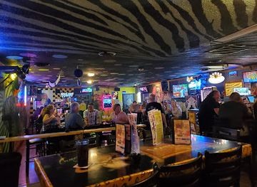
Crazy Craig's Cheeky Monkey Bar
Discover the vibrant atmosphere of Crazy Craig's Cheeky Monkey Bar in Branson, offering live music, delicious American food, and a fun nightlife experience.
-
Restaurant
Blueberry Hill
Discover Blueberry Hill, a renowned American restaurant and bar in University City, MO, offering delicious cuisine and a vibrant atmosphere.
-
Small Plates
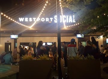
Westport Social
Experience the ultimate blend of small plates, craft cocktails, and live music at Westport Social, a vibrant St. Louis hotspot.
-
Grill
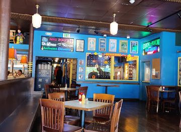
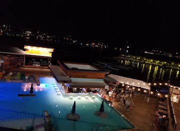
Dog Days Bar and Grill
Discover the lively atmosphere of Dog Days Bar and Grill, where delicious food and live music unite at Osage Beach, Missouri.
Best nightclubs in Loess Hills
Evening life in the Missouri Loess Hills is low-key and concentrated in local bars, restaurants, taverns and community venues rather than nightclubs. St Joseph provides the broadest choice, including downtown bars, casual drinks, occasional live music and cultural events, while the smaller towns have intimate establishments serving local residents and travellers. Rural evenings are more likely to involve a meal, a drink in a neighbourhood bar or an event at a community venue than a late-night entertainment district. Visitors should not expect frequent public transport between towns or a dense concentration of venues, so arrange a safe return journey before drinking. Breweries and distilleries may appear in the wider north-western Missouri market, but availability changes over time and should be checked locally. The region’s evening character is best understood as social and community-based rather than club-oriented.
-
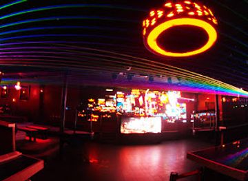
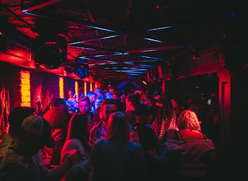
Night club
Aura
Discover Aura, Kansas City's vibrant nightlife hub, featuring electrifying DJ sets, stunning light displays, and a dynamic event space for unforgettable nights.
-
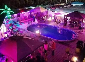
Lounge
Lotus
Experience the vibrant nightlife at Lotus Lounge in Kansas City, where unique cocktails and a lively atmosphere await every night.
-
Night club
Virtue Night Club
Dance the night away at Virtue Night Club in Grandview, Missouri, where electrifying beats and vibrant atmosphere create an unforgettable nightlife experience.
-
Night club
The SPOTT Night Club
Experience Kansas City's vibrant nightlife at The SPOTT Night Club, where music, dance, and unforgettable memories await every weekend.

Best shops in Loess Hills
Shopping in the Missouri Loess Hills is centred on practical small-town retail, historic downtown streets and locally produced food rather than large-scale destination shopping. St Joseph has the region’s broadest selection of independent shops, antiques, books, galleries, gifts and everyday services, with historic commercial areas providing more character than a typical roadside strip. Communities such as Mound City and the smaller agricultural towns offer limited but useful local shopping, including cafés, provisions, seasonal produce and services for residents. Farmers’ markets and roadside stands can be good places to look for fruit, vegetables, baked goods, preserves and other regional products when operating seasonally. Antiques, craft items and historical books are more appropriate souvenirs than generic mass-produced merchandise, while wildlife and river themes often appear in local artwork. Because rural shops may keep shorter or changing hours, check locally and avoid relying on a single small-town stop for essential supplies. The region is not a luxury-shopping destination; its retail character reflects agricultural communities, historic towns and the surrounding landscape.
-
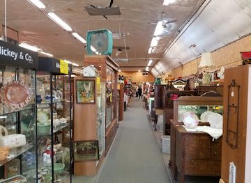
Antique store
Missouri Valley Antiques & Classic Cars
Explore a captivating collection of antiques and classic cars at Missouri Valley Antiques & Classic Cars, a must-visit destination for vintage enthusiasts.
-
Boutique
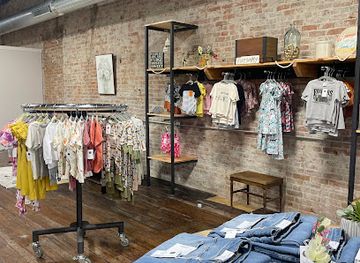
mack black
Discover unique home goods and local craftsmanship at Mack Black, a charming boutique in Missouri Valley, Iowa.
-
Clothing store
The Rustic Stitch Boutique
Explore The Rustic Stitch Boutique for a unique blend of local fashion, stylish clothing, and charming accessories in Missouri Valley, Iowa.
-
Boutique
Tennessee Hollow
Explore the unique charm of Tennessee Hollow, a boutique in Missouri Valley, Iowa, featuring local crafts and artisanal goods that embody regional culture.

Get your free copy of our complete guide to Loess Hills, delivered straight to you.
Everything on this page, from attractions and restaurants to essentials and local phrases, in one PDF you can read offline, print or share.
Already have an account? Sign in
Your Loess Hills guide is ready.
We'll send it to · Not you? Sign out

Getting your guide ready…
We are putting together a fresh copy of the Loess Hills guide. This can take up to a minute.
This can take a few moments. If your browser asks, choose Allow so the download can start. You'll find the guide in your Downloads folder.
Nothing happened? Download it again
Sorry, the guide is taking longer than usual. Please try again in a minute, or get it by email instead.
Loess Hills essentials
Currency and Payment
Safety
Emergency Situations
Do's and Don'ts
Local Tips
From Eve
Local phrases worth knowing
You don't need to get them perfect. A few words go a long way, and locals appreciate the effort.
Basics
| English | Local | Say it |
|---|---|---|
| Hello | Howdy | [haʊdi] |
| Goodbye | See ya later | [si jə ˈleɪtər] |
| Yes | Yep | [jɛp] |
| No | Nope | [noʊp] |
| Please/You're welcome | Please/No problem | [pliːz/nəʊ ˈprɒbləm] |
| Thank you | Thanks a bunch | [θæŋks ə bʌntʃ] |
| Excuse me/Sorry | Pardon me/Sorry 'bout that | [ˈpɑrdən mi/ˈsɔri baʊt ðæt] |
| How are you? | How ya doin'? | [haʊ jə ˈduɪn] |
| Fine. And you? | I’m good. And you? | [aɪm gʊd. ənd jə] |
| Do you speak English? | You speakin' English? | [jə ˈspiːkɪn ˈɪŋɡlɪʃ] |
| I don't understand | I ain't followin' | [aɪ eɪnt ˈfɑloʊɪn] |
Eating & Drinking
| English | Local | Say it |
|---|---|---|
| I'd like to see the menu, please | Can I see the menu, please? | [kæn aɪ si ðə ˈmɛnjuː pliːz] |
| I don't eat meat | I don’t do meat | [aɪ doʊnt du miːt] |
| Cheers! | Cheers! | [tʃɪrz] |
| I would like to pay, please | I’d like to settle up, please | [aɪd laɪk tə ˈsɛtl ʌp pliːz] |
Emergencies
| English | Local | Say it |
|---|---|---|
| Help! | Help! | [hɛlp] |
| Go away! | Get lost! | [ɡɛt lɔst] |
| Call the Police! | Call the cops! | [kɔl ðə kɑps] |
| Call a doctor! | Get a doc! | [ɡɛt ə dɑk] |
| I'm lost | I’m lost | [aɪm lɔst] |
| I'm ill | I’m feelin' under the weather | [aɪm ˈfiːlɪn ˈʌndər ðə ˈwɛðər] |
Shopping
| English | Local | Say it |
|---|---|---|
| I'd like to buy... | I wanna buy... | [aɪ ˈwɒnə baɪ] |
| I'm just looking | Just browsin' | [dʒʌst ˈbraʊzɪn] |
| How much is it? | How much is this? | [haʊ mʌtʃ ɪz ðɪs] |
| That's too expensive | That’s a bit steep | [ðæts ə bɪt stiːp] |
| Can you lower the price? | Can ya cut the price? | [kæn jə kʌt ðə praɪs] |
Time & Numbers
| English | Local | Say it |
|---|---|---|
| What time is it? | What time ya got? | [wɒt taɪm jə gɒt] |
| It's one o'clock | It's one o'clock | [ɪts wʌn əˈklɒk] |
| Half past (10) | Half past ten | [hæf pɑːst tɛn] |
| Morning | Mornin' | [ˈmɔrnɪn] |
| Afternoon | Afternoon | [ˌæftərˈnuːn] |
| Evening | Evenin' | [ˈiːvnɪn] |
| Yesterday | Yest'day | [ˈjɛstdeɪ] |
| Today | Today | [təˈdeɪ] |
| Tomorrow | Tomorrow | [təˈmɔroʊ] |
| 1 | One | [wʌn] |
| 2 | Two | [tuː] |
| 3 | Three | [θriː] |
| 4 | Four | [fɔːr] |
| 5 | Five | [faɪv] |
| 6 | Six | [sɪks] |
| 7 | Seven | [ˈsɛvən] |
| 8 | Eight | [eɪt] |
| 9 | Nine | [naɪn] |
| 10 | Ten | [tɛn] |
Transport & Directions
| English | Local | Say it |
|---|---|---|
| Where's a/the...? | Where's the...? | [wɛrz ðə] |
| What's the address? | What's the address? | [wɑts ði ˈædrɛs] |
| Can you show me (on the map)? | Can ya show me on the map? | [kæn jə ʃoʊ mi ɑn ðə mæp] |
| When's the next (bus)? | When's the next bus? | [wɛn z ðə nɛkst bʌs] |
| A ticket (to ....) | A ticket to... | [ə ˈtɪkɪt tə] |
History of Loess Hills
Ice-age loess and the Missouri River landscape
The Loess Hills formed from wind-blown silt, or loess, accumulated after the glaciers of the last Ice Age retreated. In north-western Missouri, these deposits occur alongside the Missouri River floodplain, producing rolling ground, bluffs and deeply cut ravines rather than a single unbroken ridge. The soils can be fertile but are also highly vulnerable to erosion when vegetation is removed. This geological inheritance helps explain the region’s mixture of productive farmland, wooded hollows, steep field edges and conservation areas.
Indigenous Missouri Valley cultures
The Missouri River corridor was an important landscape for Indigenous peoples long before European-American settlement. Communities used the river, wetlands, prairies and wooded uplands for travel, hunting, fishing and agriculture, while wider networks connected the valley with the Great Plains and the central Midwest. The region’s later place names and historical narratives often underrepresent these earlier histories. Visitors should understand the Loess Hills not as an empty frontier but as a longstanding cultural landscape shaped by Indigenous presence and movement.
River commerce and American settlement
During the nineteenth century, the Missouri River served as both a transport route and a constantly shifting physical boundary. St Joseph, founded in 1843, became a major commercial centre linking river traffic, overland travel and the developing settlements of the American West. Smaller communities in the surrounding countryside grew through farming, ferries, roads and later rail connections. Much of the region’s modern settlement pattern dates from this period, when floodplain towns and inland agricultural districts became increasingly tied to national markets.
The Pony Express and western routes, 1860–1861
St Joseph was the eastern terminus of the Pony Express, the short-lived mail service that carried messages westward before the transcontinental telegraph made it obsolete. Its operation lasted only from April 1860 to October 1861, but it gave the city a lasting place in American transport history. The service relied on a chain of riders and stations across the plains, reflecting the importance of north-western Missouri as a gateway between established settlements and the western frontier. The Pony Express National Museum interprets this history in St Joseph.
Civil War borderlands
North-western Missouri experienced the tensions of the American Civil War and its preceding border conflict. The state remained in the Union but was politically divided, and guerrilla warfare, military movement and contested loyalties affected communities across the Missouri borderlands. St Joseph and the surrounding counties were connected to these wider struggles through transport routes, local militia activity and economic disruption. The period left a complex historical legacy, with memories of Unionism, secessionism, slavery and violence continuing to shape interpretations of Missouri’s nineteenth-century past.
Agriculture, conservation and changing river economies
Twentieth-century agriculture transformed much of the loess landscape, with cultivation extending across uplands and floodplain margins and drainage altering wetland habitats. At the same time, conservation efforts recognised the importance of remaining marshes, oxbows and riverine woodland. Loess Bluffs National Wildlife Refuge, established as a major wetland refuge in the mid-twentieth century, reflects this shift towards protecting migratory-bird habitat. Today the region’s identity rests on the coexistence of working farms, small towns, wildlife management areas and a river system that still shapes land use.
Loess Hills in Photos
Browse through our photo collection highlighting the charm and character of the destination.
Neighbouring regions of Loess Hills
The closest regions to Loess Hills, if you have time for more than one.
-

-

-

-

-


Swipe for more regions
Explore more

Explore more of Missouri
Experience the diverse landscapes, rich history, and vibrant culture of Missouri, the heart of America, offering everything from bustling cities to serene natural escapes.
Explore Missouri