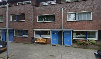
Exploring the Historical Marvel of Nieuwe Hollandse Waterlinie
Experience the rich history and stunning landscapes of the Nieuwe Hollandse Waterlinie, a UNESCO World Heritage site in Utrecht, Netherlands.
Discover the Nieuwe Hollandse Waterlinie, an impressive historical landmark in Utrecht that showcases the Netherlands' rich military history and stunning landscapes. Experience the unique blend of culture and nature as you explore this UNESCO World Heritage site that played a crucial role in the defense strategy of the Dutch Republic.
A brief summary to Nieuwe Hollandse Waterlinie
- Kapelweg 1, Utrecht, Overvecht, 3566 MK, NL
Local tips
- Consider visiting during the spring or summer months for the best weather and to enjoy the vibrant flora.
- Take a guided tour to fully appreciate the historical significance and engineering of the waterline.
- Bring a bike to explore the extensive trails along the waterline for a more immersive experience.
- Check local event listings for festivals or reenactments that take place at the forts throughout the year.
- Pack a picnic to enjoy amidst the picturesque surroundings, as there are many scenic spots along the route.
Getting There
-
Car
If you are traveling by car from anywhere in Gooi, start by getting onto the A1 motorway. Follow the A1 towards Amsterdam and then take the exit for A27 towards Utrecht. After approximately 20 minutes, take exit 30 for Biltse Rading/N410. Merge onto N410 and continue for about 10 minutes. When you reach the roundabout, take the second exit onto Kapelweg. The Nieuwe Hollandse Waterlinie will be on your right at Kapelweg 1, 3566 MK Utrecht. Parking is available nearby but may incur a fee.
-
Public Transportation
To reach Nieuwe Hollandse Waterlinie using public transport, start by taking a bus from your location in Gooi to the nearest train station, such as Hilversum or Bussum. From there, take a train towards Utrecht. Once you arrive at Utrecht Central Station, switch to bus line 3 or 8 towards Overvecht. Get off at the stop 'Kapelweg', which is a short walk from the Nieuwe Hollandse Waterlinie located at Kapelweg 1, 3566 MK Utrecht. Check the local transport schedules for the most accurate timings, as costs may vary depending on the route.
Discover more about Nieuwe Hollandse Waterlinie
Iconic landmarks you can’t miss
Nieuwe Hollandse Waterlinie
0.0 km
Experience the rich history and stunning landscapes of the Nieuwe Hollandse Waterlinie, a UNESCO World Heritage site in Utrecht, Netherlands.
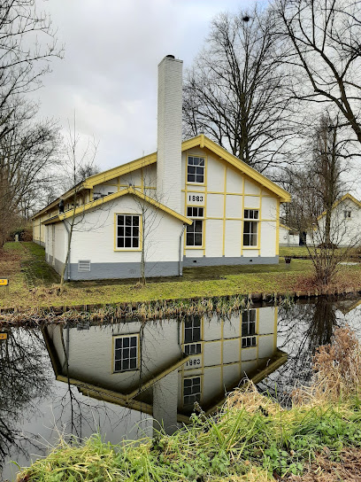
Rijksbeschermd gezicht Blauwkapel
0.1 km
Explore Blauwkapel: A serene heritage site in Utrecht, rich in history and architectural beauty, perfect for cultural enthusiasts and tranquil retreats.
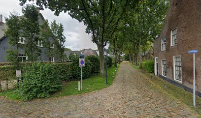
Wolvenplein
2.2 km
Explore Wolvenplein, a historic square in Utrecht filled with charming cafes, unique shops, and rich cultural experiences for every traveler.
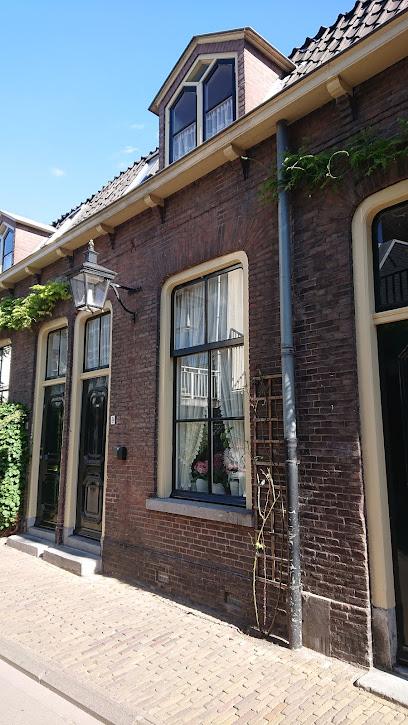
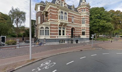
Voormalig kantoor Luftwaffe Nachrichttenabteilung
2.2 km
Explore the Former Luftwaffe Headquarters in Utrecht, a historical landmark that tells the stories of World War II and architectural heritage.
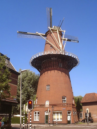
Molen Rijn en Zon
2.3 km
Explore Molen Rijn en Zon, a historic windmill in Utrecht, and enjoy a captivating journey through Dutch heritage and breathtaking landscapes.
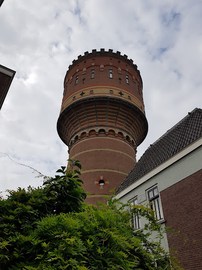
Watertower Lauwerhof
2.5 km
Discover the Watertower Lauwerhof, a historical landmark in Utrecht offering a glimpse into the city's rich heritage and stunning architectural beauty.
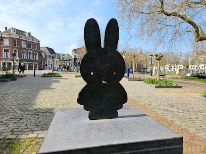
Miffy's little square
2.6 km
Explore Miffy's Little Square in Utrecht, a charming sculpture celebrating the beloved character that enchants visitors of all ages.
Old city wall of Utrecht
2.6 km
Discover the Old City Wall of Utrecht, an enchanting historical landmark showcasing medieval architecture and rich city history amidst beautiful surroundings.
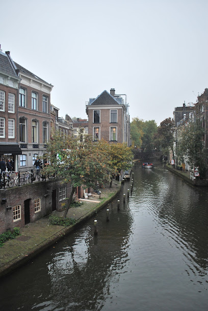
Kromme Nieuwegracht 1
2.7 km
Experience the serene beauty and rich history of Kromme Nieuwegracht, Utrecht's picturesque canal, where culture meets charm.
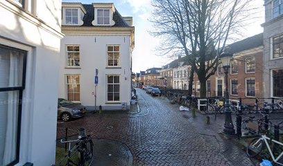
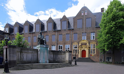
Statue of Franciscus Cornelis Donders
2.7 km
Explore the Statue of Franciscus Cornelis Donders in Utrecht, a tribute to the pioneering ophthalmologist that combines history with the beauty of urban nature.
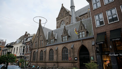
Sint Willibrordkerk
2.7 km
Discover the stunning Sint Willibrordkerk, a heritage Catholic church in Utrecht, showcasing exquisite architecture and a rich cultural history.
Voormalig woonhuis Beauftragte
2.7 km
Explore the historic Voormalig Woonhuis Beauftragte, a captivating landmark in Utrecht that showcases the city's rich architectural heritage and cultural history.
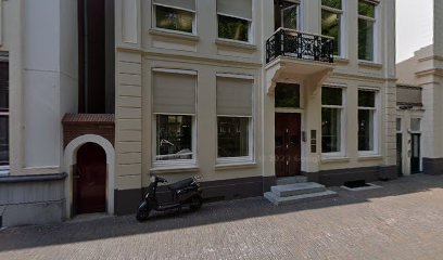
Jacobikerk
2.7 km
Explore Jacobikerk, Utrecht's stunning Gothic Protestant church, a historical landmark filled with beauty, serenity, and cultural significance.
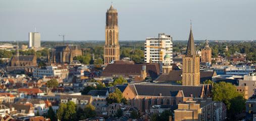
Van Schijndel Huis
2.8 km
Explore the Van Schijndel Huis in Utrecht, a modernist architectural masterpiece and museum showcasing light, space, and art.
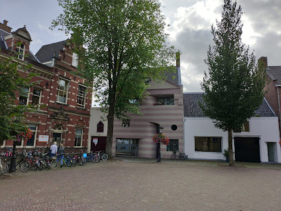
Wilhelminapark
2.8 km
Explore the lush landscapes and peaceful ambiance of Wilhelminapark, Utrecht's idyllic park perfect for relaxation and family outings.
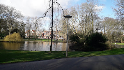
Unmissable attractions to see
Windmill Geesina
1.4 km
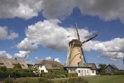
Discover the enchanting Windmill Geesina in Groenekan, a historic Dutch landmark that showcases traditional milling techniques and picturesque landscapes.
Voorveldse Polder
1.8 km
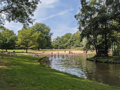
Explore the serene beauty of Voorveldse Polder, a tranquil park in Utrecht perfect for nature lovers and outdoor enthusiasts.
Griftpark
1.9 km
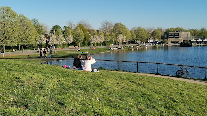
Experience the beauty of nature and art at Griftpark, a picturesque urban park in Utrecht that offers relaxation and recreation for every visitor.
The Red Bridge
2.3 km
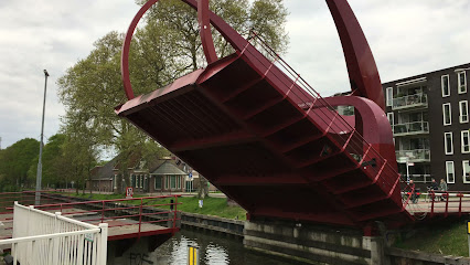
Discover the allure of The Red Bridge in Utrecht, where stunning architecture meets serene landscapes, perfect for a memorable visit.
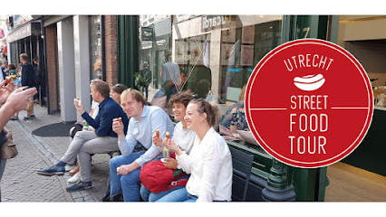
Street Food Tour Utrecht
2.6 km
Discover Utrecht's vibrant culinary scene with the Street Food Tour, offering a delicious array of local and international flavors in a charming setting.
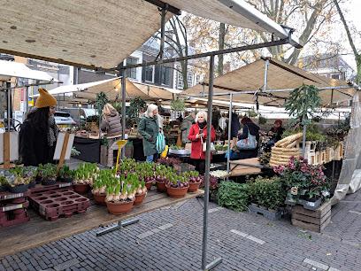
Janskerkhof Bloemenmarkt
2.6 km
Discover the vibrant Janskerkhof Flower Market in Utrecht, a colorful celebration of blooms, local culture, and Dutch horticultural traditions.
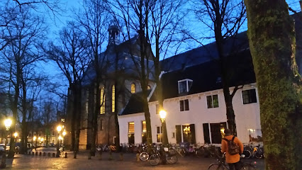
Huis van Sint Jacob
2.6 km
Explore the Huis van Sint Jacob, a captivating museum in Utrecht revealing the history of the Knights of Saint James and the city's rich heritage.
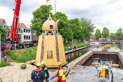
Stadskraan Utrecht
2.6 km
Discover the rich history and vibrant culture of Utrecht at the iconic Stadskraan—your gateway to the city's fascinating past.
Janskerk
2.6 km
Discover the architectural beauty and rich history of Janskerk, a stunning Christian church in the heart of Utrecht, Netherlands.
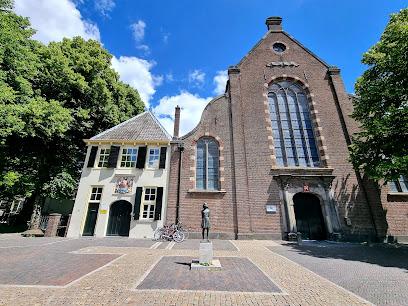
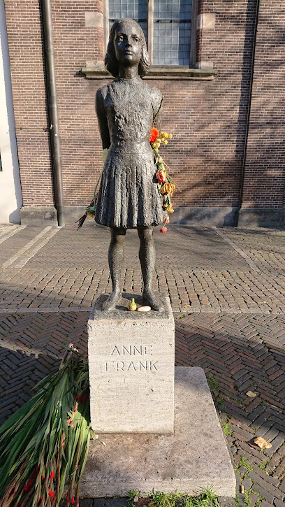
Statue of Anne Frank
2.7 km
Explore the Statue of Anne Frank in Utrecht, a poignant historical landmark celebrating resilience and the enduring legacy of a young girl's voice.
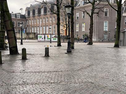
Janskerkhof
2.7 km
Explore the historic and vibrant Janskerkhof square in Utrecht, where stunning architecture meets beautiful gardens in the heart of the city.
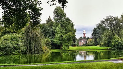
Van Boetzelaer Park
2.7 km
Discover tranquility and natural beauty at Van Boetzelaer Park in De Bilt, a perfect escape for relaxation and outdoor enjoyment.
Museum Voor Het Kruideniersbedrijf
2.7 km
Explore the vibrant history of grocery retailing at Utrecht's Museum Voor Het Kruideniersbedrijf, a unique cultural experience for all ages.
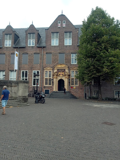
Dutch Museum of working-class districts
2.7 km
Discover the vibrant history of Utrecht's working-class neighborhoods at the Dutch Museum of Working-Class Districts, a captivating cultural gem.
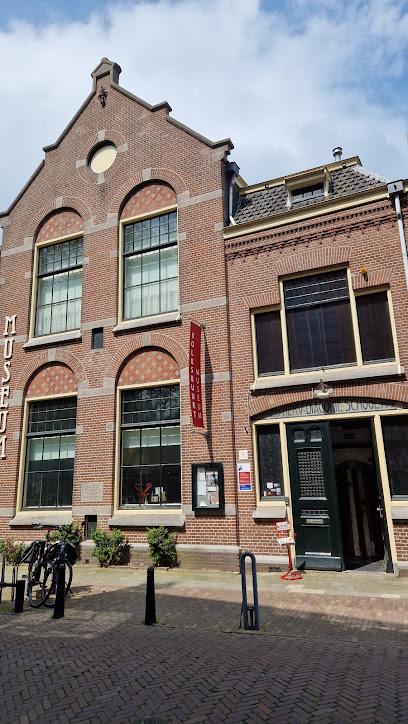
Neude
2.7 km
Discover the vibrant heart of Utrecht at Neude, a historic square filled with culture, cafes, and local charm.
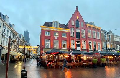
Essential places to dine
Restaurant Badhuis
1.7 km
Experience the vibrant culinary scene at Restaurant Badhuis in Utrecht, where delicious food meets an inviting bar ambiance.

Goesting
1.8 km
Experience the vibrant flavors of Goesting in Utrecht – where exquisite cuisine meets inviting ambiance.
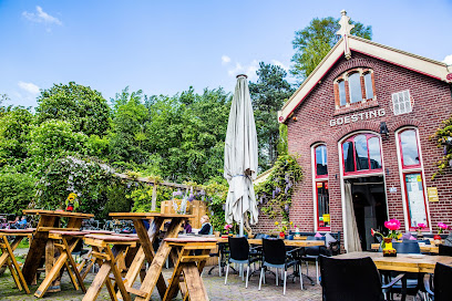
Peter's Bistro
1.8 km
Discover Peter's Bistro in Utrecht - where fresh ingredients meet culinary creativity in a cozy dining atmosphere.
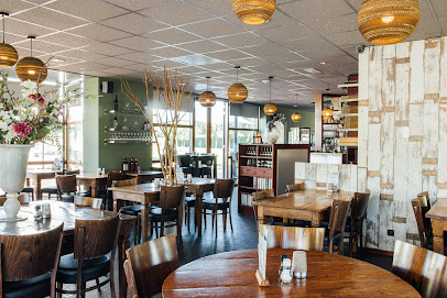
Restaurant Concours
2.3 km
Experience the exquisite culinary artistry at Restaurant Concours in Utrecht - where every dish tells a story.

Surya Utrecht | Indiaas & Nepalees restaurant & bar
2.6 km
Discover the rich flavors of Indian and Nepali cuisine at Surya Utrecht – where every dish tells a story.

Carmel Market
2.7 km
Discover the vibrant flavors of Utrecht at Carmel Market - where local ingredients meet culinary creativity in an inviting atmosphere.
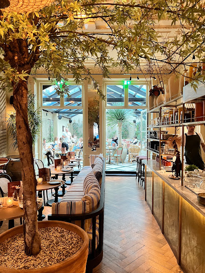
Restaurant Maeve
2.7 km
Experience exquisite cuisine at Restaurant Maeve in Utrecht - where seasonal ingredients meet culinary creativity.

Ruby Rose
2.7 km
Discover Ruby Rose in Utrecht - where exceptional cuisine meets vibrant nightlife in an inviting atmosphere.

Restaurant Hemel & Aarde
2.7 km
Discover culinary excellence at Restaurant Hemel & Aarde in Utrecht - where innovative dishes meet exceptional service.

KARAF food & drinks
2.7 km
Discover the culinary charm of Utrecht at KARAF Food & Drinks - where every meal is crafted with passion and served with care.
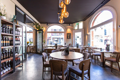
Restaurant La Cantina di David
2.8 km
Experience authentic Italian cuisine at Restaurant La Cantina di David in Utrecht, where every dish tells a story of Mediterranean flavors.
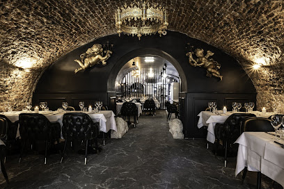
Twintig Utrecht
2.8 km
Experience culinary creativity at Twintig Utrecht, where small plates inspire sharing and flavor exploration in a cozy atmosphere.
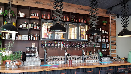
Loetje Utrecht
2.8 km
Discover delicious Dutch cuisine at Loetje Utrecht - famous for its succulent steaks and warm hospitality in the heart of the city.
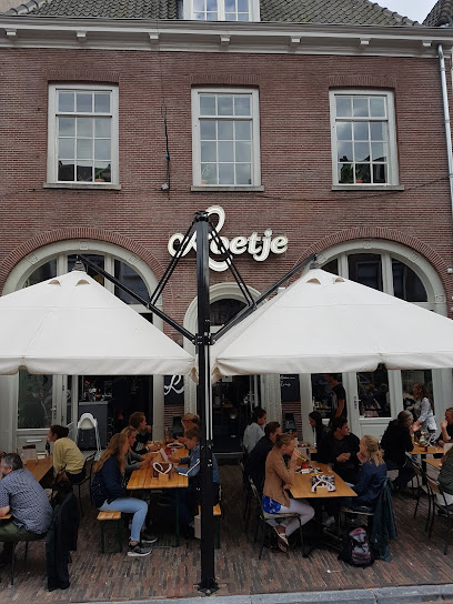
STAN Utrecht
2.8 km
Experience vibrant dining at STAN Utrecht: a delightful blend of local flavors and international dishes in a cozy atmosphere.

Restaurant San Siro
2.8 km
Experience authentic Italian flavors at Restaurant San Siro in Utrecht - where every meal is a celebration of taste.
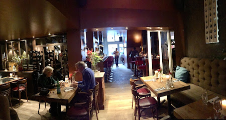
Markets, malls and hidden boutiques
Unique look
1.8 km
Explore Utrecht's unique clothing store for eclectic fashion pieces that express your individuality and style.
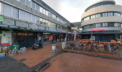
Sussies
2.5 km
Discover unique vintage clothing and accessories at Sussies in Utrecht, where sustainable fashion meets timeless style.

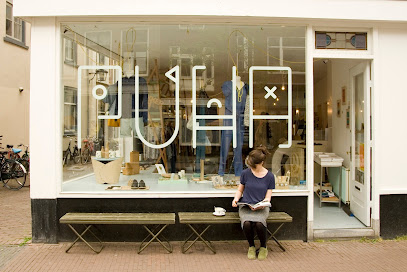
Puha shop
2.5 km
Discover unique Dutch craftsmanship and authentic souvenirs at Puha Shop, the heart of Utrecht’s shopping experience.
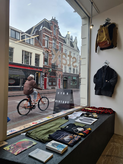
Stax
2.6 km
Discover unique fashion finds at Stax, Utrecht's premier vintage clothing store, where sustainable style meets timeless elegance.
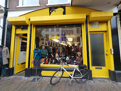
Giensch
2.6 km
Explore Giensch, Utrecht's premier vintage clothing store, where sustainable fashion meets timeless elegance and unique style.
The Trendy Shop Utrecht
2.7 km
Explore Utrecht's creative spirit at The Trendy Shop, where unique local treasures meet stylish finds in a charming setting.
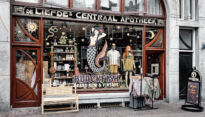
BLACKFISH Brand New & Vintage
2.7 km
Explore the eclectic blend of vintage and contemporary fashion at BLACKFISH in Utrecht, where style meets individuality.
Megusta
2.7 km
Explore Megusta in Utrecht for unique fashion finds and personalized service, perfect for capturing the essence of Dutch style.
Styled by Juuls
2.7 km
Discover stylish women's clothing in Utrecht at Styled by Juuls, where fashion meets comfort and quality.

Arthur & Willemijn Utrecht
2.7 km
Explore unique women's fashion and accessories at Arthur & Willemijn in the heart of Utrecht, showcasing local style and quality.

It's a Present
2.8 km
Discover unique gifts and local crafts at It's a Present in Utrecht, where every item tells a story of Dutch artistry and culture.

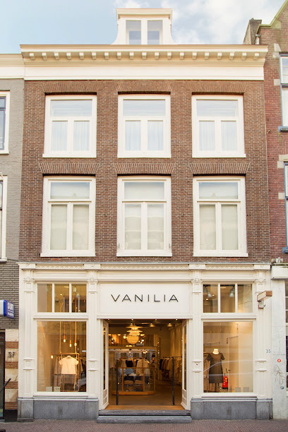
Vanilia Utrecht
2.8 km
Discover the stylish world of Vanilia Utrecht, where contemporary fashion meets timeless elegance for every woman's wardrobe.
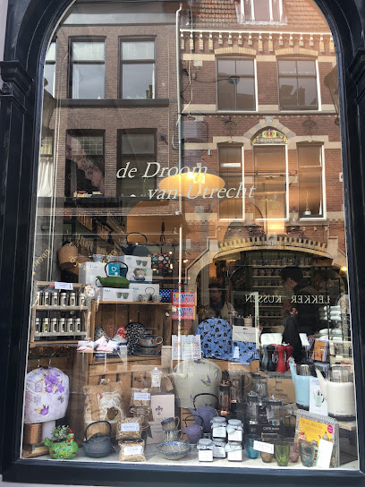
Dream of Utrecht
2.8 km
Experience the tranquility of Dream of Utrecht, a charming tea store in the heart of the city, offering an exquisite selection of teas and a cozy atmosphere.
Søstrene Grene
2.8 km
Explore Søstrene Grene in Utrecht for a unique shopping experience filled with art supplies, home decor, and creative inspiration.
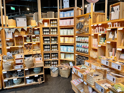
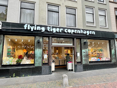
Flying Tiger Copenhagen
2.9 km
Explore the whimsical world of Flying Tiger Copenhagen in Utrecht, where unique gifts and creative home goods await every visitor.
Essential bars & hidden hideouts
Sumventure Flightbar
1.9 km
Discover the vibrant cocktail scene at Sumventure Flightbar, a unique bar in Utrecht where creativity meets mixology in every drink.
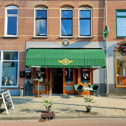
Bar Josefien
2.4 km
Discover the charm of Bar Josefien, a cozy bar and café in Utrecht, perfect for relaxation and socializing with locals.

Café Weerdzicht
2.6 km
Explore the heart of Utrecht at Café Weerdzicht, where delightful drinks and traditional Dutch flavors await along the scenic Oudegracht.
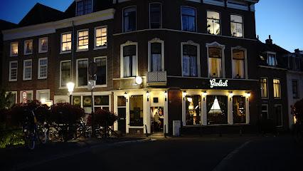
Hofman Utrecht
2.6 km
Discover the vibrant atmosphere of Hofman Utrecht, a lively bar and restaurant offering delicious food, refreshing drinks, and exciting live music in the heart of Utrecht.
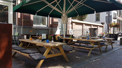
De Jans Bar
2.6 km
Discover De Jans Bar in Utrecht for a delightful combination of small plates and vibrant nightlife, where every gathering becomes a memorable experience.
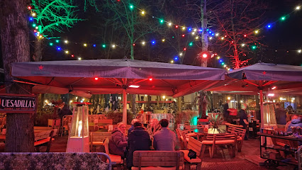
The Malt Vault
2.7 km
Discover Utrecht's premier cocktail bar, The Malt Vault, where creativity meets quality in every sip.
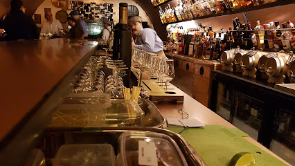
Body Talk
2.7 km
Discover Body Talk, Utrecht's vibrant gay bar, offering a welcoming atmosphere, lively entertainment, and unforgettable nightlife experiences.

Café Kalff
2.7 km
Discover the charm of Café Kalff in Utrecht, a cozy pub and café along the scenic Oudegracht, perfect for a refreshing drink or light meal.
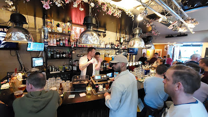
Café Joost
2.8 km
Experience the vibrant atmosphere of Café Joost, a cozy pub in Utrecht serving delightful food and drinks in a unique setting.
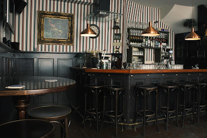
Café Flater
2.9 km
Experience the charm of Utrecht at Café Flater, where delightful drinks and a cozy atmosphere await you along the iconic Oudegracht.
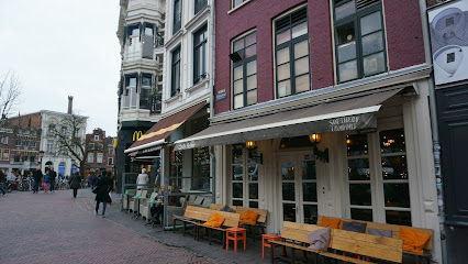
Rum CLUB
2.9 km
Discover the unique culinary experience at Rum CLUB in Utrecht, where exceptional rum and delectable dishes come together in a vibrant setting.

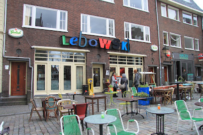
Lebowski
2.9 km
Discover the vibrant flavors of Lebowski in Utrecht, a cocktail bar and café offering a unique blend of creativity and comfort.
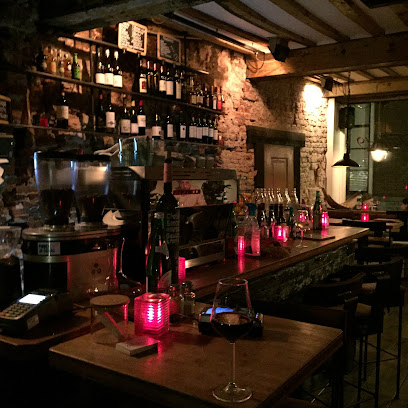
Talud9 Wijnbar
3.0 km
Discover Talud9 Wijnbar in Utrecht, where every glass tells a story and wine lovers unite in a cozy, inviting atmosphere.
Kafé België
3.1 km
Discover the charm of Kafé België, a delightful pub in Utrecht offering an exquisite selection of Belgian beers and delicious cuisine in a cozy atmosphere.
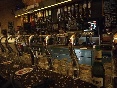
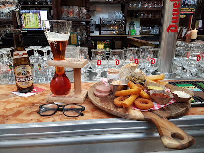
Belgisch Biercafé Olivier Utrecht
3.1 km
Experience the rich flavors of Belgium at Belgisch Biercafé Olivier, Utrecht's premier destination for Belgian beers and cuisine.
Nightclubs & after hour spots
Union Latin Lounge
2.3 km
Experience the vibrant spirit of Latin culture at Union Latin Lounge, Utrecht's premier bar for cocktails, coffee, and unforgettable nights.

Bassment Utrecht
2.4 km
Dive into the electrifying nightlife of Utrecht at Bassment, where music, dance, and fun come together for an unforgettable experience.

Woolloomooloo
2.6 km
Discover Utrecht's nightlife at Woolloomooloo, the ultimate night club and function room facility for dancing, events, and vibrant social gatherings.

café ´t Pakhuis
2.6 km
Discover the lively atmosphere of Café 't Pakhuis, Utrecht's premier night club, where unforgettable nights and vibrant energy await.

Back and Fourth
2.7 km
Unleash your spirit in Utrecht's vibrant nightlife at Back and Fourth, a must-visit night club for unforgettable evenings.

BASIS
2.8 km
Discover the ultimate nightlife experience at BASIS, Utrecht's top night club, offering electrifying dance music and a vibrant atmosphere.

Club Maggy
2.9 km
Discover Utrecht's nightlife at Club Maggy, where vibrant music, dancing, and unforgettable moments await in the heart of the city.

Club Poema
3.0 km
Experience Utrecht's nightlife at Club Poema – where music, dance, and unforgettable memories come together until dawn.

WAS.
4.1 km
Experience Utrecht's vibrant nightlife at WAS., a leading night club known for its electrifying music and unforgettable atmosphere.
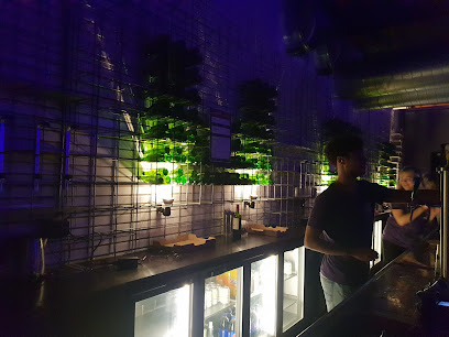
Club Backstreet
7.8 km
Dive into the vibrant nightlife of Zeist at Club Backstreet, where electrifying music and a lively atmosphere await every party lover.

Erofeestjes
10.3 km
Experience the vibrant nightlife at Erofeestjes, Breukelen's premier adult entertainment club with electrifying performances and a lively atmosphere.
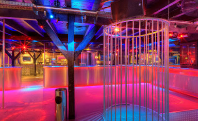
Club Organza
10.3 km
Discover the electrifying nightlife of Breukelen at Club Organza, where the music never stops and the dance floor awaits.

Night Bar G-spot
12.5 km
Experience the vibrant nightlife of Hilversum at G-spot Night Bar, where great music and a lively atmosphere promise unforgettable nights out.
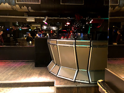
Club Rex
12.6 km
Dive into the nightlife at Club Rex in Hilversum, where electrifying music and vibrant energy create an unforgettable clubbing experience.

Poets Ok
14.7 km
Discover the lively nightlife at Poets Ok, a premier night club in Hilversum, where music and excitement come alive.
