Discover the Natural Wonders of Ash Meadows
Explore the enchanting Ash Meadows, a unique desert oasis in Nevada, home to diverse wildlife and stunning landscapes perfect for nature lovers.
Nestled in the heart of Nevada, Ash Meadows is a breathtaking desert oasis that captivates visitors with its stunning landscapes, diverse wildlife, and rich history. This remarkable location offers a unique glimpse into the natural beauty of the Mojave Desert, making it a must-visit for nature enthusiasts and adventure seekers alike.
A brief summary to Ash Meadows
- Nevada, US
Local tips
- Visit during the spring for the best wildflower blooms and wildlife activity.
- Bring plenty of water and sun protection, as the desert climate can be harsh.
- Check for any seasonal events or guided tours offered at the visitor center.
- Consider visiting during early morning or late afternoon for cooler temperatures and better wildlife viewing.
- Respect the local wildlife by observing from a distance and staying on marked trails.
Getting There
-
Car
If you are in Ash Meadows National Wildlife Refuge and want to visit key locations within the refuge, you can easily navigate by car. Start at the Ash Meadows Visitor Center, located at 36.4274554, -116.3519867. From there, take the main road that leads through the refuge. Follow the signs for the various attractions like Crystal Pool and the springs. There are parking areas near each major site, making it convenient to stop and explore.
-
Walking
For a more immersive experience, consider walking from the Visitor Center to nearby attractions. The path is well-marked and safe for pedestrians. Walk towards Crystal Pool, which is about a 1-mile stroll. Make sure to bring water and wear comfortable shoes, as the terrain can be uneven in some areas.
-
Bicycle
Cycling is a great way to explore Ash Meadows. You can bring your own bike or rent one in nearby towns. From the Visitor Center, take the paved road towards the springs. There are designated bike paths that connect to key locations. Ensure you have a bike lock to secure your bike when you stop to explore.
-
Public Transportation
Public transportation options are limited in this remote area. The nearest major town is Pahrump, about 30 miles away. If you are staying in Pahrump, check local bus services or consider rideshare options to reach the refuge. Note that you may need to arrange for a return trip since public transport does not operate frequently in this region.
Discover more about Ash Meadows
Iconic landmarks you can’t miss
The Oasis at Death Valley
46.1 km
Experience the unique charm of The Oasis at Death Valley, where comfort meets the breathtaking beauty of the desert landscape.

Ice Cream Parlor, Ranch at Death Valley
46.1 km
Discover the refreshing Ice Cream Parlor at Death Valley, where delightful flavors and stunning desert views create the perfect treat for travelers.

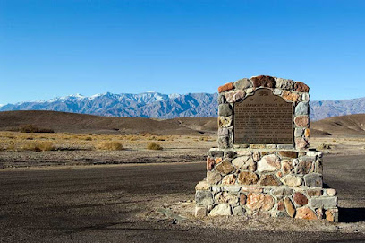
Harmony Borax Works Historical Marker
46.7 km
Explore the historic Harmony Borax Works in Death Valley, a key site in America's mining history surrounded by breathtaking desert landscapes.
Furnace Creek Airport
47.3 km
Experience the breathtaking landscapes of Death Valley through Furnace Creek Airport, your gateway to endless desert adventures and stunning natural wonders.
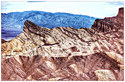
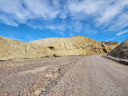
Mustard Canyon
47.5 km
Explore the vibrant hues and stunning vistas of Mustard Canyon, a captivating ravine in Furnace Creek, California, within Death Valley National Park.
Frenchman Flat
55.6 km
Discover the captivating history and stunning landscapes of Frenchman Flat, a significant site of nuclear testing in Nevada's vast desert.
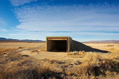
Cathedral Canyon
64.4 km
Discover the breathtaking beauty and geological wonders of Cathedral Canyon in Pahrump, Nevada, a historical landmark perfect for nature lovers and adventurers.
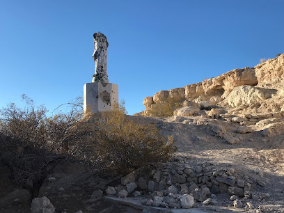
Death Valley National Park
65.6 km
Explore the breathtaking landscapes of Death Valley National Park, a unique desert wonderland known for its extreme beauty and incredible geological features.
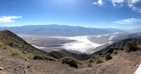
Labyrinth at Rhyolite
67.2 km
Explore the captivating Labyrinth at Rhyolite, an artistic oasis in the Nevada desert that combines creativity and history for an unforgettable experience.
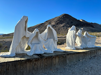
Devil's Cornfield Parking
67.7 km
Discover the surreal beauty of Devil's Cornfield in Death Valley National Park, where unique desert landscapes await every traveler.
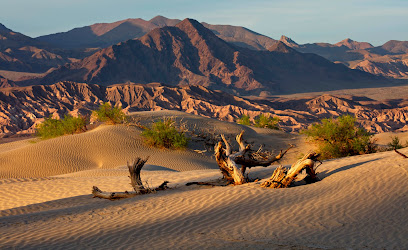
Mahogany Flat Campground
67.8 km
Experience the breathtaking beauty and tranquility of Mahogany Flat Campground in Death Valley National Park, a perfect retreat for nature lovers and adventurers.
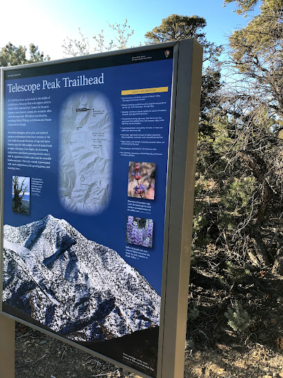
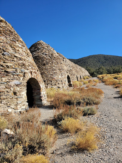
Wildrose Charcoal Kilns
67.9 km
Explore the Wildrose Charcoal Kilns, a fascinating historical site in Death Valley, showcasing the unique mining heritage of California's desert landscape.
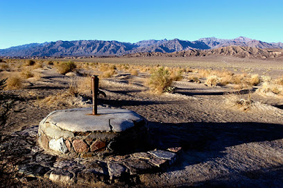
Old Stovepipe Wells
69.9 km
Explore the historical significance and breathtaking landscapes of Old Stovepipe Wells in Death Valley National Park, a must-see for avid travelers.
Silent Heroes Of The Cold War National Memorial
70.6 km
Explore the Silent Heroes of the Cold War National Memorial, a serene tribute to the valor and sacrifices of military personnel in a pivotal historical era.
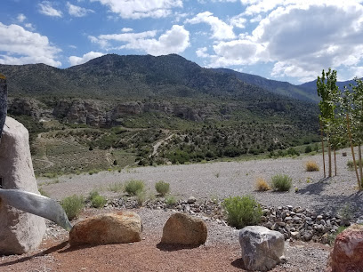
Spring Mountains Visitor Gateway
70.6 km
Explore the majestic Spring Mountains at the Spring Mountains Visitor Gateway, your entrance to unforgettable hiking experiences and breathtaking natural beauty.
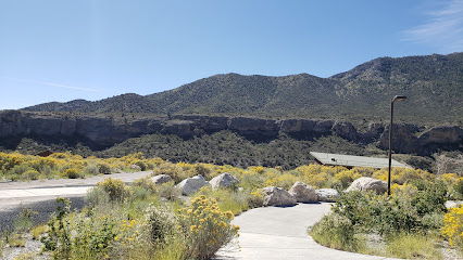
Unmissable attractions to see
Ash Meadows National Wildlife Refuge
2.2 km
Explore the diverse ecosystems of Ash Meadows National Wildlife Refuge, a hidden gem in Nevada perfect for nature lovers and wildlife enthusiasts.
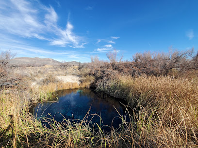
Ash Meadows Board Walk
2.2 km
Discover the serene beauty of Ash Meadows Board Walk, a hidden gem in Amargosa Valley, perfect for nature lovers and tranquility seekers.
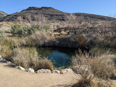
Ash Meadows Fish Conservation Facility
4.2 km
Discover the serene beauty and vital conservation efforts at Ash Meadows Fish Conservation Facility in Nevada's stunning desert landscape.

Longstreet Spring and Cabin
5.0 km
Explore Longstreet Spring and Cabin, a captivating historical landmark in Nevada's Amargosa Valley, where history and nature intertwine beautifully.
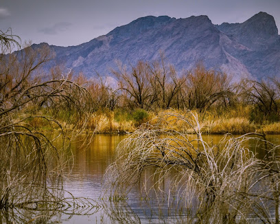
Devils Hole
5.4 km
Explore the enchanting Devils Hole in Nevada, a unique spring rich in biodiversity and stunning geological formations.
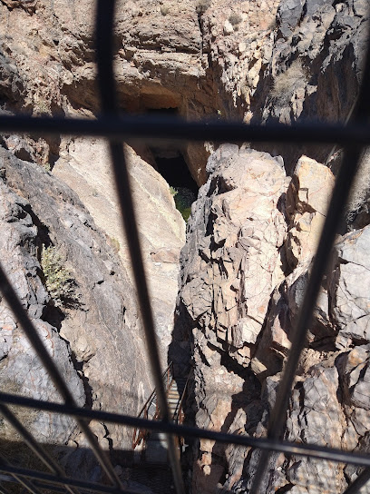
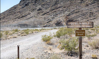
Devil's Hole
5.4 km
Explore the stunning Devil's Hole in Death Valley, a unique desert oasis and home to the rare Devil's Hole Pupfish, offering breathtaking views and rich ecological significance.
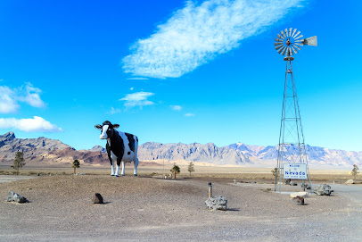
Big Bovine of The Desert
6.6 km
Explore the whimsical Big Bovine of The Desert, a quirky roadside attraction in Nevada, offering a unique photo opportunity amidst stunning desert scenery.
Point of Rock Springs Trailhead
7.4 km
Explore the breathtaking trails of Point of Rock Springs, a hidden hiking paradise in Pahrump, Nevada, surrounded by stunning desert landscapes.
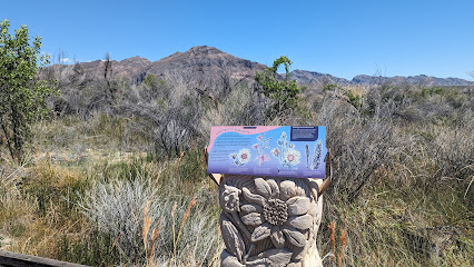
North Mesquite Mountains Wilderness Area
14.8 km
Discover the breathtaking wilderness of North Mesquite Mountains in Death Valley, California, where nature's beauty awaits every adventurer.

Amargosa Opera House
15.0 km
Discover the cultural oasis of the Amargosa Opera House, blending art, history, and stunning desert landscapes in Death Valley.

Death Valley Junction Historic District
15.0 km
Discover the rich history and stunning landscapes of Death Valley Junction Historic District, a unique gem in the heart of California's Mojave Desert.
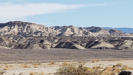
Death Valley Junction Garage
15.1 km
Explore the historic Death Valley Junction Garage, a unique attraction in California's iconic desert landscape, rich with history and stunning vistas.
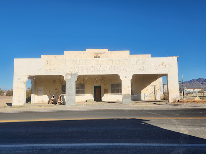
Amargosa Café
15.1 km
Discover the charm of Amargosa Café in Death Valley, where delicious food meets stunning desert views in a welcoming atmosphere.

Amargosa Valley Park
18.5 km
Experience the serene beauty and recreational fun at Amargosa Valley Park, a perfect escape in Nevada's stunning desert landscape.
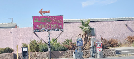
Area 51 Alien Center
24.4 km
Explore the quirky charm of Area 51 Alien Center in Nevada, home to unique memorabilia, alien lore, and a delightful shopping experience.
Essential places to dine
The Inn at Death Valley Dining Room
44.8 km
Experience exquisite dining amidst stunning desert vistas at The Inn at Death Valley Dining Room, where every meal is a journey into flavor.
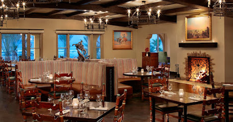
The Ranch 1849 Restaurant
46.1 km
Discover The Ranch 1849 Restaurant: A Buffet Delight in the Heart of Death Valley National Park.

Wild Rose Tavern
46.2 km
Experience authentic American dining at Wild Rose Tavern in Death Valley—a perfect blend of comfort food and stunning desert views.
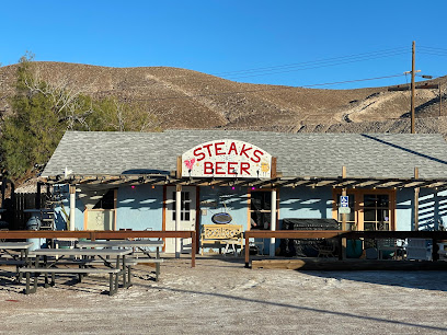
Steaks and Beer
62.9 km
Discover mouthwatering steaks and refreshing beers at Steaks and Beer in Tecopa—a hidden gem perfect for meat lovers visiting California's serene desert.
MEL'S DINER
64.2 km
Experience hearty breakfasts and classic American dishes at Mel's Diner in Beatty, NV – where comfort meets great taste.
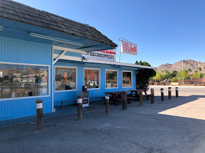
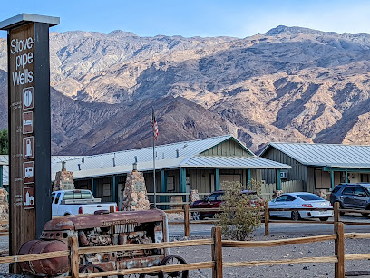
Stovepipe Wells Village Saloon
73.6 km
Experience authentic desert charm at Stovepipe Wells Village Saloon in Death Valley National Park - where adventure meets relaxation.
Bites of Europe
95.8 km
Experience authentic European cuisine at Bites of Europe in Las Vegas – where every dish tells a story.

Yard House
96.0 km
Discover the culinary delights at Yard House in Summerlin, where New American cuisine meets craft beer in a vibrant atmosphere.

Lucille's Smokehouse Bar-B-Que
96.1 km
Experience authentic Southern barbecue at Lucille's Smokehouse Bar-B-Que in Las Vegas – where every bite is a celebration of flavor.

Blue Ribbon Sushi Bar & Grill - Red Rock
96.1 km
Experience the best of Japanese cuisine at Blue Ribbon Sushi Bar & Grill in Summerlin - where every bite tells a story.

Olive Garden Italian Restaurant
96.2 km
Experience authentic Italian cuisine at Olive Garden in Las Vegas; where family dining meets rich flavors in a cozy atmosphere.

Lazy Dog Restaurant & Bar
96.2 km
Discover delicious American cuisine at Lazy Dog Restaurant & Bar - where comfort food meets casual dining in Las Vegas.

Shake Shack Summerlin
96.4 km
Experience gourmet burgers and delectable shakes at Shake Shack Summerlin in Las Vegas - where fast food meets quality ingredients.

True Food Kitchen
96.4 km
Discover True Food Kitchen in Summerlin: Where Healthy Meets Delicious with Organic Options & Global Flavors.

California Pizza Kitchen at Summerlin
96.4 km
Savor innovative pizza creations and fresh dishes at California Pizza Kitchen in Summerlin - your destination for casual dining in Las Vegas.

Markets, malls and hidden boutiques
Ruby's Store
9.6 km
Discover local flavors and unique Mexican products at Ruby's Store, a charming grocery destination in Amargosa Valley, Nevada.

DVJ Fine Cannabis
14.9 km
Discover premium cannabis products in the heart of Death Valley Junction at DVJ Fine Cannabis, where quality meets tranquility.
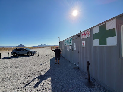
Night Time.
22.5 km
Discover the vibrant music scene at Night Time, where unforgettable performances come to life in an intimate and welcoming atmosphere.

Death Valley Marketplace
30.9 km
Discover unique souvenirs and sweet treats at Death Valley Marketplace, a charming stop for travelers in the heart of Nevada's desert.

All About Hemp
31.0 km
Explore the benefits of hemp at All About Hemp in Pahrump, Nevada – your destination for quality herbal medicine and wellness products.

Z & S Imports
36.2 km
Explore Z & S Imports in Pahrump, NV for quality used auto parts and unparalleled customer service in the heart of Nevada.
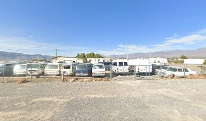
Lighthouse Gift Shop
38.4 km
Explore the Lighthouse Gift Shop in Pahrump for unique crafts, delightful gifts, and a charming garden center experience.

Quilted Dragon
39.0 km
Explore Quilted Dragon in Pahrump, NV: Your one-stop destination for quality fabrics, quilting supplies, and creative inspiration.
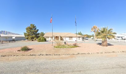
Shell
39.2 km
Discover Pahrump's essential Shell station, offering fuel, convenience, and services for a smooth travel experience in Nevada's beautiful landscapes.

The Home Depot
39.5 km
Discover the ultimate home improvement destination in Pahrump, offering a wide range of products for every DIY project and home renovation.

G.I. Usa
39.6 km
Explore G.I. Usa in Pahrump for unique gifts and souvenirs reflecting the charm and culture of Nevada's vibrant community.

Walmart Supercenter
39.8 km
Experience shopping convenience at Walmart Supercenter in Pahrump, Nevada, offering groceries, clothing, electronics, and more all in one place.

The Grove Cannabis Dispensary Pahrump
40.0 km
Explore premium cannabis products at The Grove Dispensary in Pahrump, Nevada - your gateway to quality and variety.

Sonoma Thrift store - pahrump
40.0 km
Explore Sonoma Thrift Store in Pahrump for unique vintage finds and affordable treasures, perfect for any bargain hunter visiting Nevada.

Hypno Comics & Games
40.3 km
Explore a treasure trove of comics, games, and collectibles at Hypno Comics & Games in Pahrump, NV - where every fan finds their passion.

Essential bars & hidden hideouts
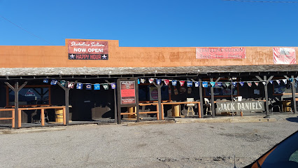
Stateline Saloon
6.4 km
Experience the vibrant atmosphere and delicious offerings at Stateline Saloon in Amargosa Valley, your go-to bar and cafe in Nevada.
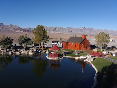
Longstreet Hotel Casino & RV Resort
6.6 km
Discover the ultimate blend of entertainment and relaxation at Longstreet Hotel Casino & RV Resort in Amargosa Valley, Nevada.
Jack’s Cafe
6.6 km
Discover the charm of Jack’s Cafe in Amargosa Valley, where delicious coffee and a cozy atmosphere await every traveler.

VFW Post 6826
11.6 km
Discover local culture and community spirit at VFW Post 6826, a welcoming bar in Amargosa Valley, Nevada.
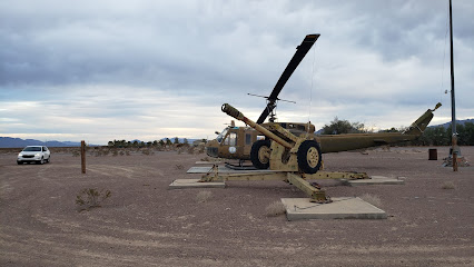
El Valle
12.9 km
Experience authentic Mexican flavors at El Valle in Amargosa Valley, a culinary gem perfect for tourists seeking great food and warm hospitality.
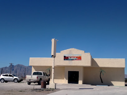
Short Branch Saloon
18.1 km
Discover the enchanting atmosphere of Short Branch Saloon in Pahrump, Nevada, where rustic charm meets vibrant local culture for an unforgettable experience.
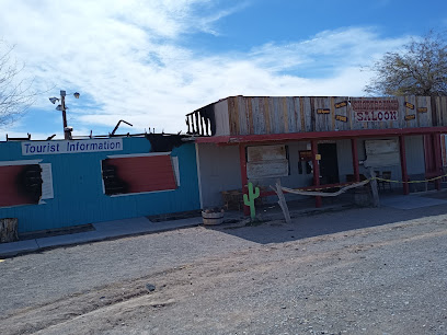
Miss Kathy's Short Branch Saloon
18.1 km
Experience local charm and great drinks at Miss Kathy's Short Branch Saloon, a cozy bar in Pahrump, NV, perfect for connecting with locals.
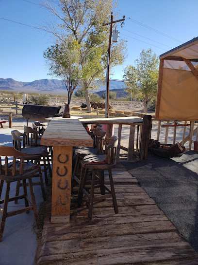
The Hubb
30.3 km
Experience the vibrant flavors and welcoming atmosphere at The Hubb, Pahrump's favorite grill and bar, where every meal is a celebration.
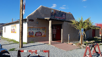
Tumbleweed Tavern
32.5 km
Discover Tumbleweed Tavern, the perfect blend of good drinks, great food, and a warm atmosphere in the heart of Pahrump, Nevada.

Who's Dunes Lounge
37.9 km
Discover the lively vibe of Who's Dunes Lounge, your perfect spot for drinks, socializing, and entertainment in Pahrump, NV.

Jack in the Box
40.6 km
Savor the taste of diverse fast food options at Jack in the Box in Pahrump, offering everything from burgers to breakfast, open 24/7.

Saddle West Hotel Casino RV Resort
42.0 km
Discover the perfect getaway at Saddle West Hotel Casino RV Resort, where comfort meets excitement in Pahrump, Nevada.

The Hideaway Bar
44.6 km
Experience the vibrant atmosphere of The Hideaway Bar in Pahrump, offering a great selection of drinks and a friendly local vibe.

Wild Side Tavern(WST)
45.1 km
Discover the excitement of Wild Side Tavern in Pahrump, NV - a premier bar for gambling, nightlife, and unforgettable experiences.
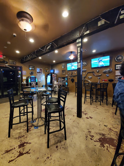
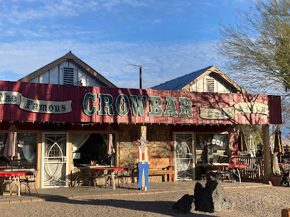
Crowbar Cafe & Saloon
50.9 km
Discover the heart of Shoshone at Crowbar Cafe & Saloon, where American flavors meet rustic charm in a welcoming atmosphere.
