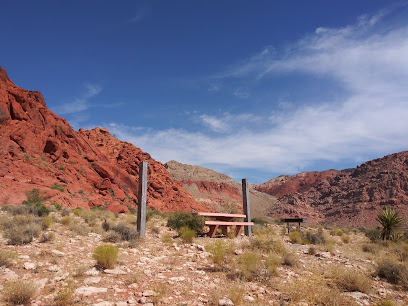
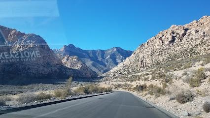
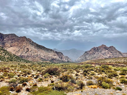
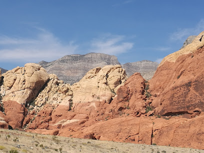
Discover the Serene Beauty of Calico Tanks Trail
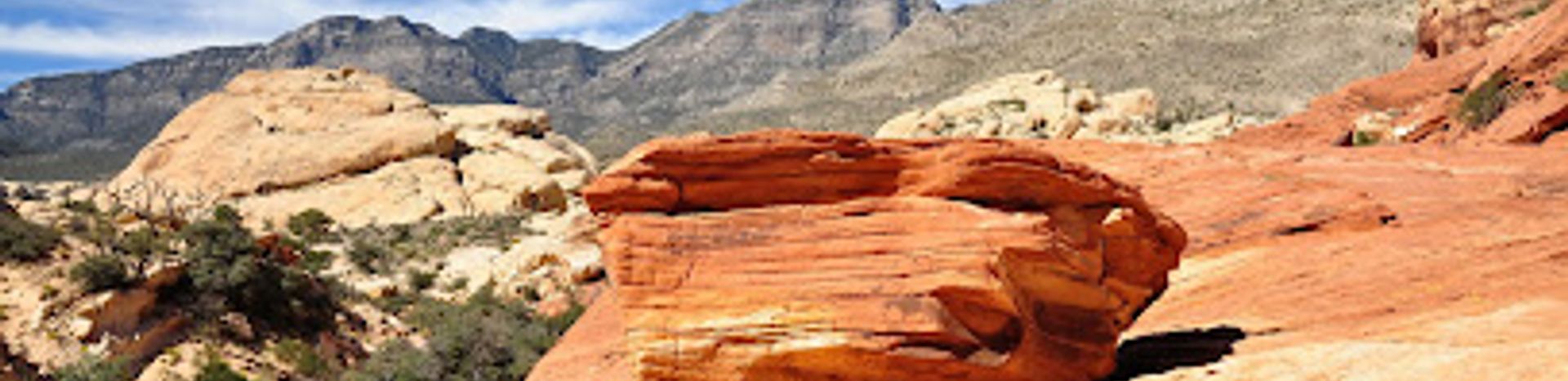
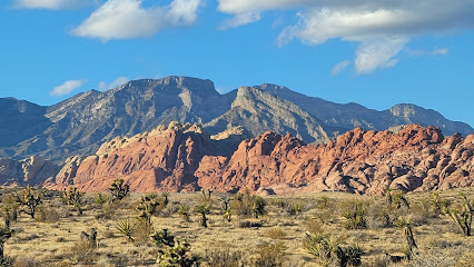
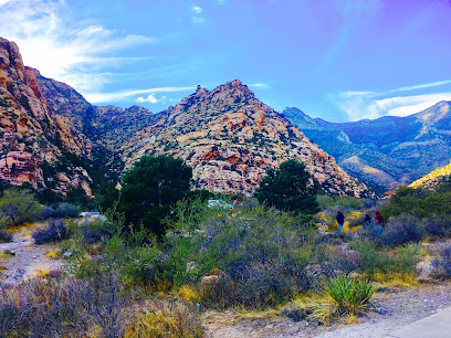
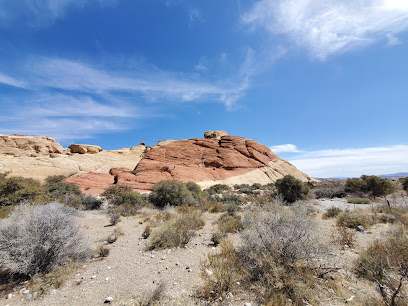
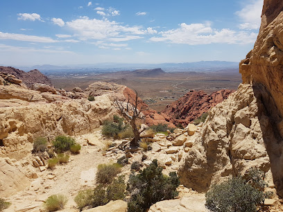
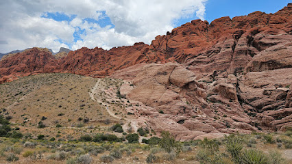
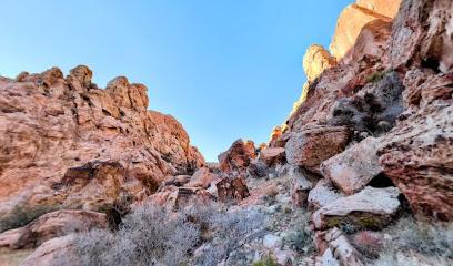
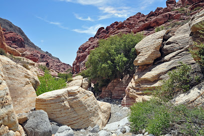
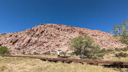
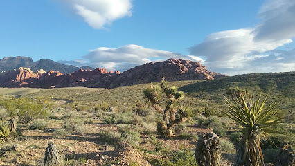
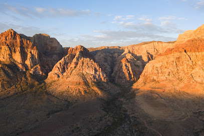
Experience the vibrant beauty of Calico Tanks Trail, a stunning hiking gem in Las Vegas' Red Rock Canyon, showcasing mesmerizing rock formations and breathtaking views.
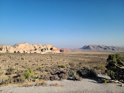
Calico Tanks Trail in Las Vegas offers a stunning hiking experience with breathtaking views of vibrant rock formations, perfect for outdoor enthusiasts and nature lovers alike.
A brief summary to Calico Tanks Trail
- Calico Tanks, Las Vegas, Nevada, 89161, US
- +1702-515-5350
- Visit website
- Monday 6 am-8 pm
- Tuesday 6 am-8 pm
- Wednesday 6 am-8 pm
- Thursday 6 am-8 pm
- Friday 6 am-8 pm
- Saturday 6 am-8 pm
- Sunday 6 am-8 pm
Local tips
- Visit early in the morning or late in the afternoon for cooler temperatures and the best lighting for photos.
- Wear sturdy hiking shoes to navigate the rocky terrain safely.
- Bring plenty of water and snacks, as there are no facilities along the trail.
- Check the weather forecast before your hike to ensure a safe and enjoyable experience.
- Keep an eye out for wildlife, especially in the early morning when they are most active.
Getting There
-
Car
If you are traveling by car within Red Rock Canyon National Conservation Area, start at the Visitor Center. From the Visitor Center, take the scenic loop road (State Route 159) heading west. Continue on this road for about 3.5 miles until you see the Calico Tanks Trailhead parking area on your left. There is a parking fee of $15 per vehicle, which is valid for the entire day. The trailhead is located at approximately 36.1644186 latitude and -115.444572 longitude.
-
Public Transportation
Public transportation options are limited in the Red Rock Canyon area. However, you can take the RTC (Regional Transportation Commission) bus service to reach the entrance of the Red Rock Canyon National Conservation Area. Board the bus at the nearest stop in Las Vegas and ride to the Red Rock Canyon Visitor Center. Once you arrive at the Visitor Center, you will need to either walk or take a taxi/rideshare service to the Calico Tanks Trailhead, which is about 3.5 miles along the scenic loop road. Note that there may be additional costs for the bus fare and for a taxi or rideshare service.
-
Bike
For those who enjoy biking, you can rent a bicycle in Las Vegas and ride to the Red Rock Canyon area. Follow the designated bike paths that lead to the entrance of the conservation area. Once inside, you can bike along the scenic loop road to reach the Calico Tanks Trailhead parking area. Ensure you have a bike lock and are prepared for a 3.5-mile ride from the Visitor Center to the trailhead. Remember to check the weather and trail conditions before setting out.
Discover more about Calico Tanks Trail
Iconic landmarks you can’t miss
Red Rock Canyon Fee Station
4.0 km
Explore the stunning landscapes and outdoor adventures at Red Rock Canyon, a breathtaking escape just outside of Las Vegas.
Petroglyphs and Pictographs Drawing
4.8 km
Uncover the ancient stories etched in stone at the Petroglyphs and Pictographs Drawing, a historical landmark in the heart of Las Vegas.
Badwater Basin St
8.9 km
Explore the serene landscapes and geological wonders of Badwater Basin St in Las Vegas, a hidden gem perfect for nature lovers and adventure seekers.

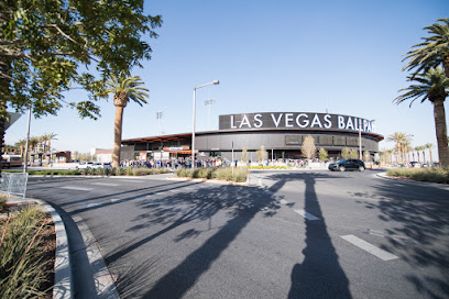
Las Vegas Ballpark
10.4 km
Discover the excitement of live baseball at Las Vegas Ballpark, where entertainment meets a vibrant community atmosphere in Summerlin.
First Modern Roundabouts in the United States
13.0 km
Explore the innovative First Modern Roundabouts in Las Vegas, a fascinating blend of urban design and public art that enhances traffic flow and safety.
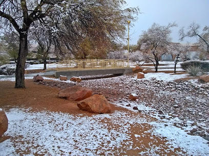
Brylee Bridge
18.2 km
Experience the enchanting Brylee Bridge in Las Vegas, a historical landmark where nature and architecture beautifully coexist.
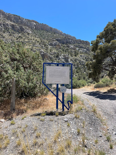
Potosi Historical Marker
18.5 km
Explore Nevada's rich mining history at the Potosi Historical Marker, a serene landmark surrounded by stunning mountain views.
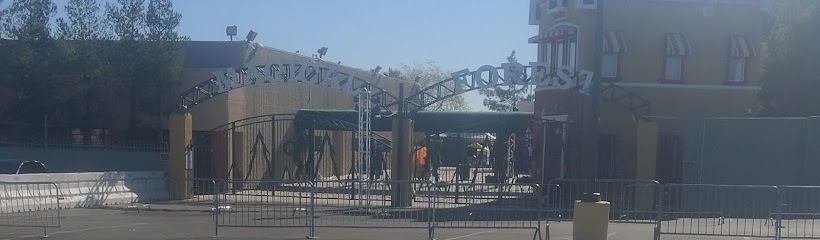
Magical Forest and HallOVeen at Opportunity Village
19.1 km
Discover the Magic of the Holidays at the Enchanting Magical Forest and HallOVeen in Las Vegas – A Family-Friendly Adventure Awaits!
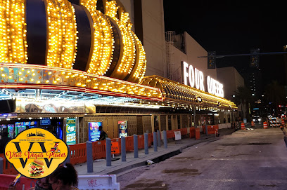
Visit Vegas Places
21.1 km
Explore the creativity and innovation behind advertising in the heart of Las Vegas at Visit Vegas Places - a hub for branding and marketing enthusiasts.
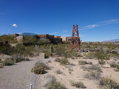
Springs Preserve
22.8 km
Explore the stunning gardens and historical exhibits at Springs Preserve, a perfect blend of nature and culture in Las Vegas.
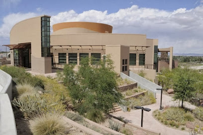
Nevada State Museum, Las Vegas
22.8 km
Explore the diverse history and natural wonders of Nevada at the Nevada State Museum in Las Vegas, a captivating destination for history enthusiasts and curious travelers.
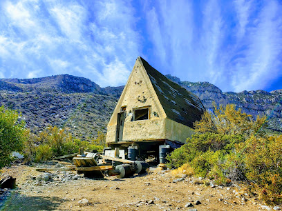
Wild Horse Cabin
23.7 km
Explore the enchanting Wild Horse Cabin, a historical landmark in Sloan, Nevada, offering rustic charm and serene natural beauty for every traveler.
ML & NS meeting site
23.8 km
Explore the ML & NS Meeting Site, a historical landmark in Las Vegas showcasing the rich cultural heritage and stories of the community.
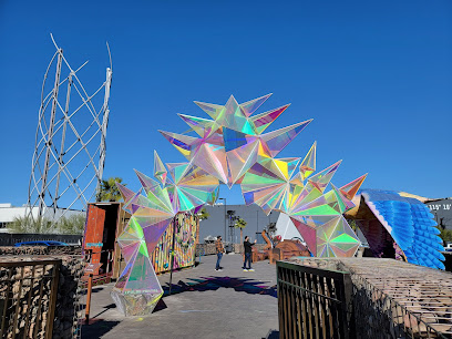
Omega Mart
23.9 km
Explore Omega Mart: A mind-bending grocery store experience where art and amusement collide in a surreal adventure in Las Vegas.
Thriller Villa
23.9 km
Explore the enchanting Thriller Villa in Las Vegas, a historical landmark that blends rich culture, stunning architecture, and vibrant events.
Unmissable attractions to see
Sandstone Quarry Trailhead
0.6 km
Discover the natural beauty of Sandstone Quarry Trailhead in Las Vegas, a perfect hiking destination with stunning views and unique sandstone formations.
Calico View
0.8 km
Discover the stunning vistas of Calico View in Red Rock Canyon, a perfect hiking spot for nature lovers and photography enthusiasts near Las Vegas.
Pink Goblin Pass
1.6 km
Explore the stunning Pink Goblin Pass in Las Vegas, a hiker's paradise with breathtaking views and diverse trails for all skill levels.

High Point Overlook
2.1 km
Experience breathtaking views of Las Vegas at High Point Overlook, a serene escape with stunning desert landscapes and panoramic city views.
Calico 1
2.4 km
Explore the stunning views and natural beauty of Calico 1 Observation Deck in Red Rock Canyon, a must-visit destination near Las Vegas.
Lower Calico Hills Trail
3.0 km
Discover the breathtaking landscapes and unique geological formations of Lower Calico Hills Trail, a top destination for outdoor enthusiasts in Nevada.
Calico Basin Trail
3.0 km
Discover stunning landscapes and vibrant wildlife at Calico Basin Trail, a premier hiking destination near Las Vegas, perfect for adventurers and nature lovers.
Red Spring Picnic Area
3.0 km
Experience the tranquil beauty of Red Spring Picnic Area, a serene haven in Las Vegas perfect for picnics and outdoor relaxation amidst stunning natural landscapes.
Red Spring Boardwalk Trail
3.0 km
Explore the breathtaking Red Spring Boardwalk Trail in Calico Basin, Nevada, a serene hiking area surrounded by stunning desert beauty and vibrant wildlife.
Red Spring: A Desert Oasis
3.1 km
Discover Red Spring, a serene desert oasis in Las Vegas, where vibrant wildlife and lush vegetation create a refreshing nature escape.
Scenic Loop Dr
3.4 km
Experience the breathtaking landscapes and stunning vistas along Scenic Loop Drive, a must-see destination for nature lovers in Nevada.
Red Rock Canyon National Conservation Area
3.4 km
Explore the captivating beauty of Red Rock Canyon National Conservation Area, a breathtaking natural wonder near Las Vegas with stunning landscapes and outdoor adventures.
Red Rock Canyon Visitor Center
3.5 km
Explore the breathtaking Red Rock Canyon Visitor Center, your gateway to adventure and nature's beauty in Nevada's stunning landscapes.
Red Rock Canyon NCA Scenic Drive Bureau of Land Management
3.8 km
Experience the stunning landscapes and vibrant wildlife of Red Rock Canyon NCA, a breathtaking escape just outside Las Vegas.
Ice Box Canyon Trailhead
3.9 km
Discover the stunning Ice Box Canyon Trailhead in Red Rock Canyon, a hiker's paradise near Las Vegas, offering breathtaking views and diverse wildlife.
Essential places to dine
Yard House
9.9 km
Discover the culinary delights at Yard House in Summerlin, where New American cuisine meets craft beer in a vibrant atmosphere.
Lucille's Smokehouse Bar-B-Que
10.0 km
Experience authentic Southern barbecue at Lucille's Smokehouse Bar-B-Que in Las Vegas – where every bite is a celebration of flavor.
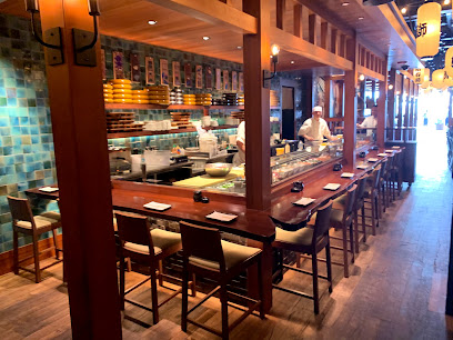
Blue Ribbon Sushi Bar & Grill - Red Rock
10.0 km
Experience the best of Japanese cuisine at Blue Ribbon Sushi Bar & Grill in Summerlin - where every bite tells a story.
Lazy Dog Restaurant & Bar
10.0 km
Discover delicious American cuisine at Lazy Dog Restaurant & Bar - where comfort food meets casual dining in Las Vegas.
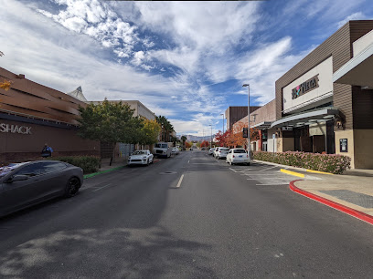
Shake Shack Summerlin
10.1 km
Experience gourmet burgers and delectable shakes at Shake Shack Summerlin in Las Vegas - where fast food meets quality ingredients.
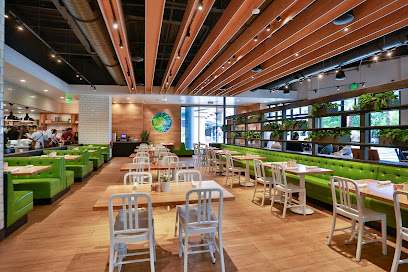
True Food Kitchen
10.2 km
Discover True Food Kitchen in Summerlin: Where Healthy Meets Delicious with Organic Options & Global Flavors.
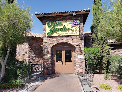
Olive Garden Italian Restaurant
10.2 km
Experience authentic Italian cuisine at Olive Garden in Las Vegas; where family dining meets rich flavors in a cozy atmosphere.
California Pizza Kitchen at Summerlin
10.2 km
Savor innovative pizza creations and fresh dishes at California Pizza Kitchen in Summerlin - your destination for casual dining in Las Vegas.
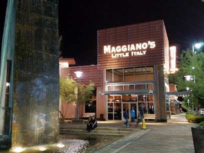
Maggiano's Little Italy
10.2 km
Experience authentic Italian cuisine at Maggiano's Little Italy in Summerlin, Las Vegas - perfect for families and special occasions.
Bites of Europe
13.2 km
Experience authentic European cuisine at Bites of Europe in Las Vegas – where every dish tells a story.
Honey Salt
13.6 km
Experience innovative New American cuisine at Honey Salt in Las Vegas—where fresh ingredients meet culinary creativity.
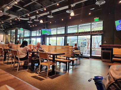
Jack in the Box
14.6 km
Discover affordable fast food delights at Jack in the Box in Las Vegas with an exciting mix of American and Mexican flavors.
Other Mama
15.5 km
Experience the ultimate sushi dining at Other Mama in Las Vegas - where freshness meets innovation in every bite.
Marché Bacchus
16.5 km
Experience the elegance of French cuisine at Marché Bacchus in Las Vegas—where fine dining meets stunning lakeside views.
Americana Restaurant
16.6 km
Experience the best of American cuisine at Americana Restaurant in Las Vegas - where flavor meets elegance in every dish.
Markets, malls and hidden boutiques
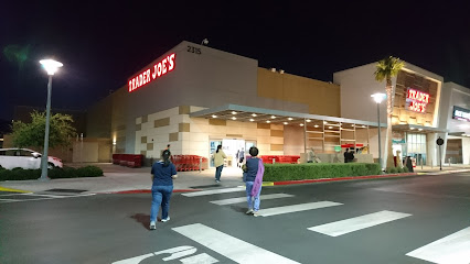
Trader Joe's
10.0 km
Discover a delightful shopping experience at Trader Joe's in Las Vegas, offering organic foods, gourmet items, and a unique atmosphere for all visitors.
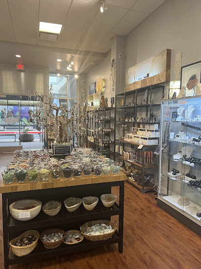
Silver Post
10.1 km
Explore Silver Post in Las Vegas for exquisite handcrafted jewelry and unique minerals, a must-visit for every tourist seeking local treasures.
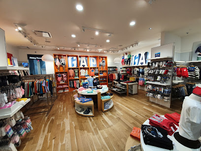
Gap
10.1 km
Discover stylish clothing for the whole family at Gap in Las Vegas' vibrant Summerlin district, where fashion meets affordability.
Downtown Summerlin
10.1 km
Experience the ultimate shopping and dining destination at Downtown Summerlin, where vibrant culture meets modern luxury in the heart of Las Vegas.
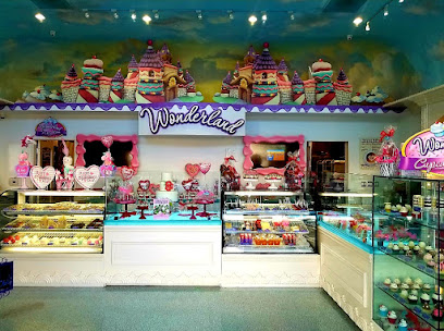
Wonderland Bakery- Logo Cookies, Custom Desserts, Gingerbread Cookies & Gifts
10.2 km
Experience the magic of Wonderland Bakery in Las Vegas with custom desserts, unique gifts, and delicious treats for every occasion.
Buckle
10.2 km
Discover a stylish shopping experience at Buckle in Las Vegas, offering a diverse selection of men's, women's, and youth clothing, jeans, and accessories.
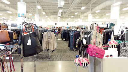
Nordstrom Rack
10.3 km
Discover unbeatable fashion deals at Nordstrom Rack in Las Vegas - your ultimate shopping destination for quality apparel and accessories.
Summerlin Gift Shop
11.6 km
Explore the Summerlin Gift Shop for unique souvenirs and local treasures that capture the essence of Las Vegas culture.
Bath & Body Works
12.8 km
Explore Bath & Body Works in Las Vegas for exquisite candles, perfumes, and beauty products that elevate your senses and enhance your gifting experience.
Target
13.2 km
Experience the convenience of shopping at Target in Las Vegas, offering a wide range of products from electronics to stylish home goods.
Hottie World
13.3 km
Discover trendy women's fashion, dresses, and shoes at Hottie World in Las Vegas' Grand Canyon Target Center, where style meets affordability.

TeNo Outlet Store
13.3 km
Discover exquisite diamond jewelry and unique greeting cards at TeNo Outlet Store in Las Vegas – a treasure trove of elegance and charm.
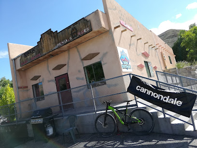
Trek Bicycle Las Vegas Rental Center
13.5 km
Experience the freedom of cycling at Trek Bicycle Las Vegas Rental Center, your gateway to the stunning landscapes of Nevada.
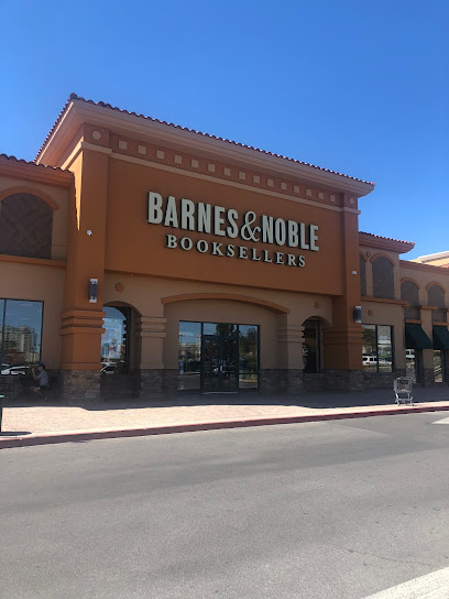
Barnes & Noble
13.9 km
Explore the literary haven of Barnes & Noble in Las Vegas, where books, coffee, and community come together for a delightful experience.
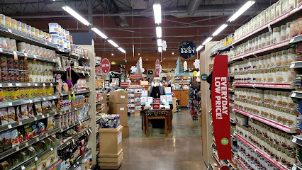
Whole Foods Market
14.0 km
Explore the vibrant flavors and health-conscious offerings at Whole Foods Market, Las Vegas' premier destination for organic and gourmet foods.
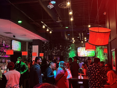
Essential bars & hidden hideouts
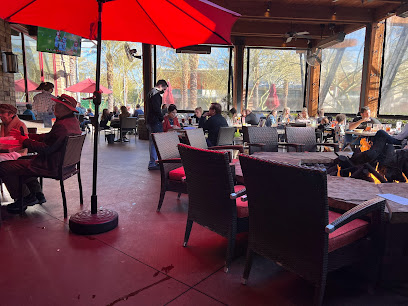
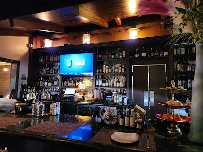
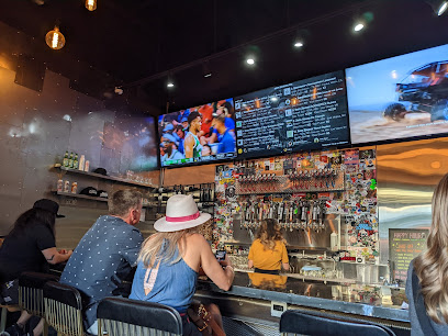
Al's Garage
8.3 km
Al's Garage: A vibrant sports bar in Summerlin, Las Vegas where great food, drinks, and live sports come together for an unforgettable experience.
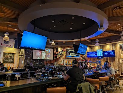
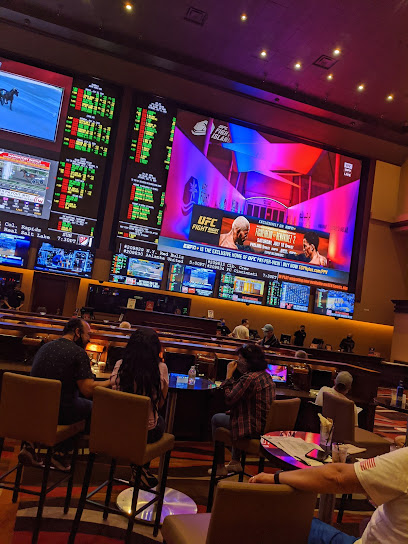
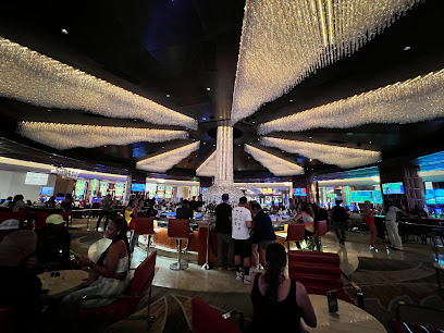
Red Rock Casino Race & Sports Book
9.9 km
Experience the thrill of live sports betting at Red Rock Casino Race & Sports Book, where excitement and luxury meet in the heart of Las Vegas.
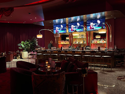
Onyx Bar
9.9 km
Discover Onyx Bar at Red Rock Resort, where exquisite cocktails and a stylish ambiance create an unforgettable Las Vegas nightlife experience.
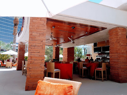
Sandbar
10.0 km
Experience the ultimate relaxation at Sandbar, the premier bar in Summerlin, offering refreshing drinks and a serene poolside escape.
Rouge Room
10.0 km
Rouge Room: A Premier Dining Experience by the Pool in Summerlin, Las Vegas. Indulge in Culinary Artistry and Unmatched Ambiance.
Keno Lounge
10.0 km
Discover the vibrant Keno Lounge in Summerlin, where gaming excitement blends with a chic lounge atmosphere for an unforgettable Las Vegas experience.
Lucky Bar
10.0 km
Discover the lively atmosphere and exquisite drinks at Lucky Bar, the perfect nightlife destination in Las Vegas.
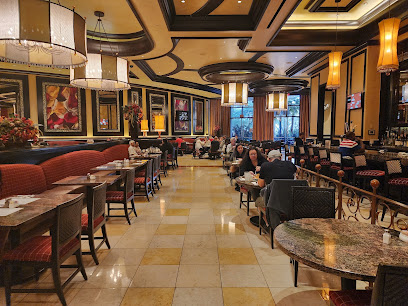
Lucky Penny at Red Rock
10.0 km
Discover Lucky Penny at Red Rock Resort, where New American cuisine meets a warm and inviting atmosphere, perfect for your Las Vegas dining adventure.
Rocks Lounge
10.0 km
Experience the sophisticated ambiance and exquisite drinks at Rocks Lounge, a top destination in Las Vegas for relaxation and socializing.
Lobby Bar
10.1 km
Discover the lively ambiance and exquisite cocktails at Lobby Bar in Las Vegas, the perfect destination for an unforgettable night out.
Botellas Tras Botellas
10.1 km
Unwind at Botellas Tras Botellas, a unique bar in Summerlin, Las Vegas, offering an extensive wine selection and vibrant ambiance perfect for any occasion.
Frankie's Uptown - A Neighborhood Bar
10.1 km
Discover the vibrant atmosphere of Frankie's Uptown, a top neighborhood bar in Summerlin, Las Vegas, offering unique cocktails and a welcoming vibe.
Distill - A Local Bar
10.2 km
Discover the perfect blend of grill and bar at Distill - A Local Bar in Summerlin, Las Vegas, renowned for its great atmosphere and delicious menu.
Beer Zombies Draft Room
10.2 km
Discover the vibrant atmosphere and exceptional craft beer selection at Beer Zombies Draft Room in Las Vegas, perfect for every beer lover.
Botellas Mobile Bar
10.7 km
Discover the vibrant nightlife at Botellas Mobile Bar in Las Vegas, a unique spot for cocktails, craft beers, and unforgettable experiences.
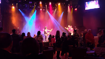
Nightclubs & after hour spots
Mango Tango Nightclub
21.3 km
Unleash your energy at Mango Tango Nightclub, the ultimate nightlife hub in Las Vegas featuring live DJs and an electrifying atmosphere.

Ghostbar
23.1 km
Experience the nightlife at Ghostbar, a chic cocktail bar with breathtaking views and a vibrant atmosphere in Las Vegas.
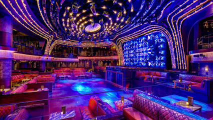
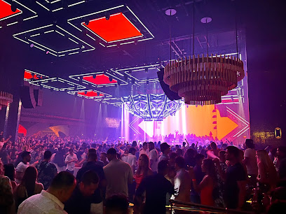
OMNIA Nightclub
24.8 km
Discover the electrifying nightlife at OMNIA Nightclub, where stunning design meets world-class entertainment in the heart of Las Vegas.
JEWEL Nightclub
24.9 km
Immerse yourself in the electrifying atmosphere of JEWEL Nightclub, where world-class DJs and vibrant energy create unforgettable nightlife experiences in Las Vegas.
Marquee Nightclub
25.0 km
Marquee Nightclub: Where the Rhythm of Las Vegas Comes Alive with Unforgettable Nights of Dance, Music, and Celebration.
Drai's Beachclub & Nightclub
25.1 km
Discover the ultimate nightlife experience at Drai's Beachclub & Nightclub, the heart of Las Vegas entertainment, featuring live music, luxury cabanas, and a pulsating atmosphere.
Free Nightclub & Dayclub Guest List Promotion
25.1 km
Experience the vibrant nightlife of Las Vegas at this premier nightclub, where unforgettable memories and electrifying energy await you.
Zouk Nightclub
25.3 km
Experience the electrifying nightlife at Zouk Nightclub, where world-class DJs and a vibrant atmosphere await every party enthusiast in Las Vegas.
EBC at Night
25.3 km
Experience the dazzling nightlife of EBC at Night in Las Vegas, where every evening promises unforgettable music, vibrant energy, and stunning views.
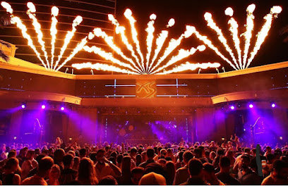
XS Nightclub
25.5 km
Experience the ultimate nightlife at XS Nightclub, where world-class DJs and an opulent atmosphere meet in the heart of Las Vegas.
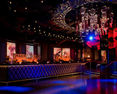
LIV Nightclub Las Vegas
25.7 km
Experience the electrifying nightlife at LIV Nightclub in Las Vegas, where music, dancing, and unforgettable memories collide.
Troy Liquor Bar
26.9 km
Discover the vibrant nightlife of Las Vegas at Troy Liquor Bar, a dynamic venue perfect for dancing and socializing with friends.

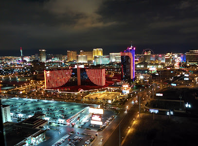
Las Vegas Blvd And Fremont
27.3 km
Discover the exhilarating nightlife of Las Vegas Blvd and Fremont, where every night is a celebration of entertainment and excitement.
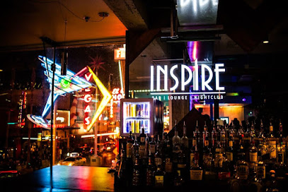
Inspire Nightclub
27.3 km
Discover the electrifying nightlife at Inspire Nightclub in Downtown Las Vegas, where stunning views and vibrant music create unforgettable experiences.
Raised By Wolves
27.3 km
Immerse yourself in the vibrant nightlife of Las Vegas at Raised By Wolves, a premier nightclub with electrifying music and stunning ambiance.