
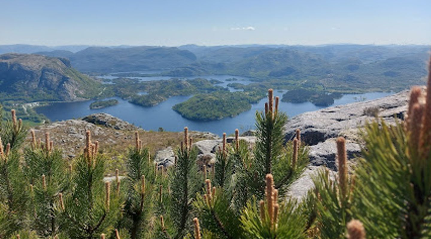
Bjørndalsfjellet, Rogaland Travel Guide
Discover the breathtaking landscapes of Bjørndalsfjellet in Sandnes, Norway – a hiker's paradise filled with stunning views and tranquil trails.
Nestled in Sandnes, Bjørndalsfjellet offers breathtaking views and invigorating trails for hikers of all levels. Experience the beauty of Norway's natural landscapes while enjoying a harmonious connection with nature.
A brief summary to Bjørndalsfjellet
- Sandnes, NO
- Click to display

Know before you go
Hi, I'm Eve. Here are a few practical things to know before exploring Bjørndalsfjellet.
- Wear sturdy hiking boots for a comfortable trek on varied terrain.
- Bring water and snacks to stay refreshed during your hike.
- Consider hiking early in the morning to enjoy the peace and avoid crowds.
- Pack a camera to capture the stunning views from the summit.
- Check the weather forecast before your hike, as conditions can change rapidly.
Do you manage this location?
Take control to get all the benefits, like improved information, better appearance, and stronger visibility across AI-powered discovery. Learn more about listing your business on Evendo
Activate your presenceOther nearby places you may find interesting
The closest places of the same kind, if this one is not quite what you had in mind.


Explore Bjørndalsfjellet on the Map
A handpicked selection of must-see spots near Bjørndalsfjellet, mapped for you.
Getting There
-
Car
If you are traveling by car, start by navigating to Sandnes, which is a central town in Rogaland. From the E39 highway, take exit 10 towards Sandnes. Once you are in Sandnes, follow signs for 'Bjørndalsfjellet' or use your GPS to enter the coordinates (58.8835238, 5.8200687). There is limited parking available near the trailhead. Ensure to arrive early, especially on weekends, as the parking lot can fill up quickly.
-
Public Transportation
For those using public transport, take a train from Stavanger to Sandnes. The train departs frequently and the journey takes about 20 minutes. Once you arrive at Sandnes station, exit and head to the bus terminal located nearby. Take bus number 7 towards 'Høle' and get off at the stop 'Bjørndalsfjellet'. The bus ride will take approximately 15-20 minutes. From the bus stop, follow the marked trail signs towards Bjørndalsfjellet. Ensure to check the bus schedule in advance, as service may vary, especially on weekends.
-
Walking/Hiking
After reaching the bus stop 'Bjørndalsfjellet', follow the clearly marked hiking trails that lead to the summit. The hike is accessible and well-maintained, making it suitable for most fitness levels. Expect the hike to take around 1 to 1.5 hours to reach the top, where you will be rewarded with stunning views of the surrounding area. Remember to wear appropriate footwear and bring water and snacks.
Discover more about Bjørndalsfjellet













Your all‑in‑one travel companion app
Explore expert travel guides, compare and book tours, experiences, hotels, and more—all from the palm of your hand. Download now for seamless trip planning wherever your wanderlust takes you.


Explore More of Rogaland
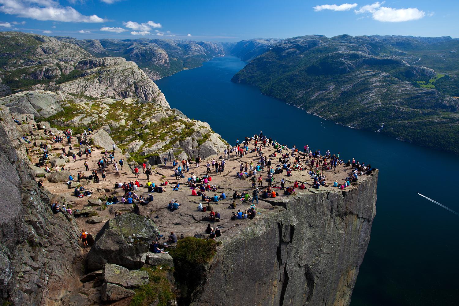
Looking beyond Bjørndalsfjellet? Discover Rogaland for broader travel guides, local hot-spots, and regional highlights.
Explore Rogaland
Explore the stunning viewpoint in Sandnes for breathtaking vistas of Norway's natural beauty, perfect for photography and relaxation amidst nature.
Explore the breathtaking Dalsnuten Hike for stunning views of Stavanger, Sandnes, and the picturesque Jæren coastline in Norway.
