Mt Davis, Appalachian Mountains Travel Guide
Discover the breathtaking beauty of Mt. Davis, Pennsylvania's highest peak, perfect for adventure seekers and nature lovers alike.
Mt. Davis, the highest peak in Pennsylvania, offers breathtaking views and a serene atmosphere, perfect for tourists seeking adventure and natural beauty. Explore hiking trails, climb the fire tower, and immerse yourself in the tranquility of the surrounding nature as you witness the stunning landscapes that this prominent mountain has to offer.
A brief summary to Mt Davis
- Elk Lick Township, Pennsylvania, US

Know before you go
Hi, I'm Eve. Here are a few practical things to know before exploring Mt Davis.
- Visit during early morning or late afternoon for stunning sunrise or sunset views.
- Wear sturdy hiking boots as some trails can be steep and rocky.
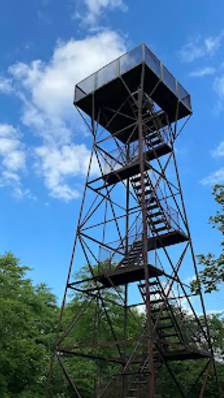
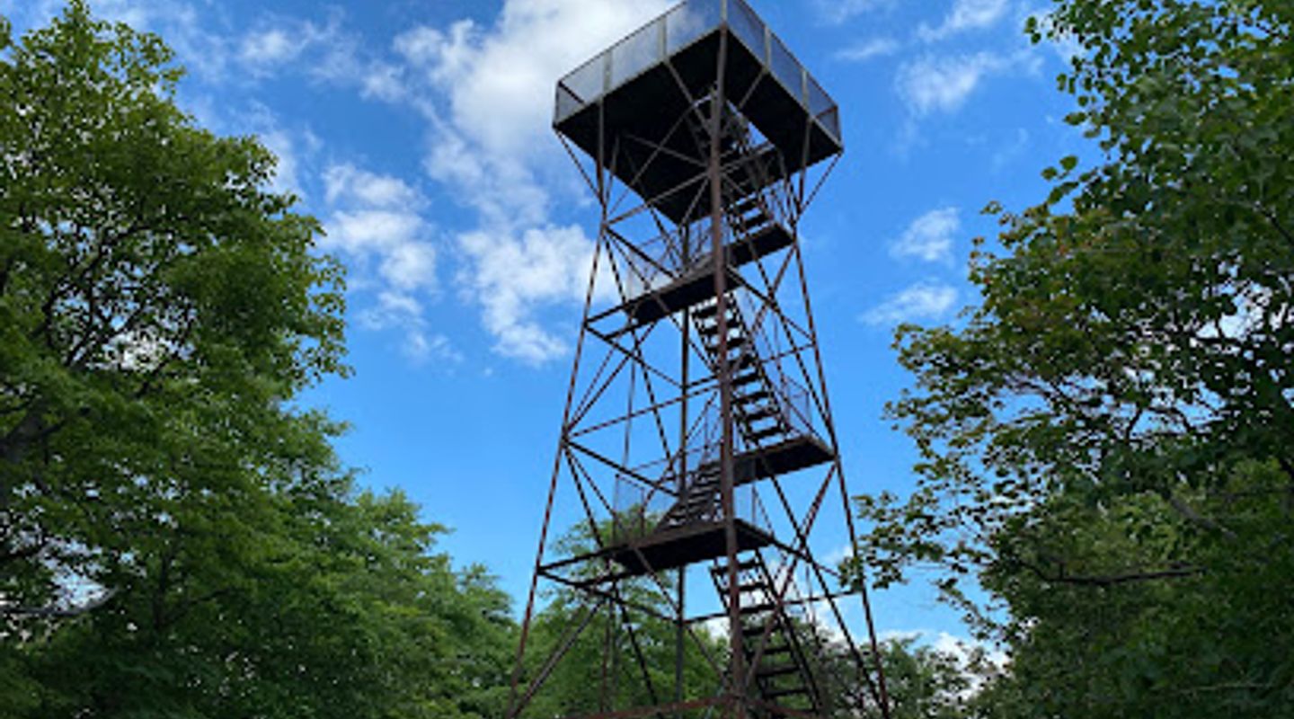
- Bring a camera to capture the panoramic views from the fire tower.
- Pack a picnic to enjoy at one of the scenic viewpoints.
- Check weather conditions before your visit for a safer hiking experience.
Do you manage this location?
Take control to get all the benefits, like improved information, better appearance, and stronger visibility across AI-powered discovery. Learn more about listing your business on Evendo
Activate your presenceOther nearby places you may find interesting
The closest places of the same kind, if this one is not quite what you had in mind.
Explore Mt Davis on the Map
A handpicked selection of must-see spots near Mt Davis, mapped for you.
Getting There
-
Car
If you're traveling by car, start by navigating to US Route 219 (US-219) if you're coming from the north or south. If you're approaching from the east or west, you can connect to US-219 via Interstate 68 (I-68) or Interstate 76 (I-76). Once on US-219, head toward Elk Lick Township. Look for signs directing you to Mt. Davis. The final stretch involves taking a right onto a smaller road that leads directly to the Mt. Davis area. Be prepared for a short drive on gravel roads, which may require a vehicle with good clearance. Parking is typically available at the base of the trail leading to the summit. There are no tolls along this route.
-
Public Transportation
If you're relying on public transportation, the closest major bus station is in Somerset, PA. From Somerset, you will need to arrange for a taxi or rideshare service to reach Mt. Davis, as there is no direct public transit service to the mountain. The taxi ride from Somerset to Mt. Davis will take approximately 30 minutes and could cost around $30-$50 depending on the service. Make sure to schedule your return trip as services in this rural area may not be frequent.
-
Hiking
Once you've arrived at the parking area near Mt. Davis, you will find a marked trailhead that leads to the summit. The hike to the top is a short but steep trek of about 0.5 miles. Be sure to wear sturdy hiking boots and bring water, as the trail can be rocky and uneven. The summit features a fire tower that offers breathtaking views of the surrounding Appalachian Mountains. There is no entry fee to hike, but donations to the local trails organization are appreciated.
Discover more about Mt Davis













Your all‑in‑one travel companion app
Explore expert travel guides, compare and book tours, experiences, hotels, and more—all from the palm of your hand. Download now for seamless trip planning wherever your wanderlust takes you.


Explore More of Appalachian Mountains
Looking beyond Mt Davis? Discover Appalachian Mountains for broader travel guides, local hot-spots, and regional highlights.
Explore Appalachian Mountains