Ascend to the Heights: The Second Highest Point of the Philippine Highway System
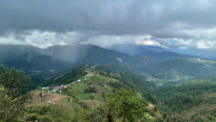
Experience awe-inspiring views and the fresh mountain air at the Second Highest Point of the Philippine Highway System in Atok, Benguet.
Discover breathtaking views at the Second Highest Point of the Philippine Highway System, an unmissable destination for nature lovers and adventure seekers. Nestled in Atok, Benguet, this scenic spot offers stunning vistas, fresh mountain air, and a chance to experience the rich culture of the region. Perfect for a memorable day trip or a peaceful retreat, it promises an unforgettable experience.
A brief summary to Second Highest Point: Philippine Highway System
- JQRG+635, Halsema Highway, Atok, Benguet, PH
- +639326593330
Local tips
- Visit during early morning or late afternoon for the best sunrise and sunset views.
- Bring a light jacket as temperatures can drop significantly at high altitudes.
- Pack snacks and water; there are limited facilities on-site.
- Take your time to enjoy the scenic drive and stop for photos along the way.
- Engage with local residents for insights on the culture and history of the area.
Getting There
-
Car
If traveling by car, head towards Atok, Benguet via the Halsema Highway (also known as the Baguio-Bontoc Road). From Baguio City, take the Halsema Highway and drive approximately 30 kilometers north. Follow the signs for Atok, and keep an eye out for the markers indicating the Second Highest Point along the highway. You will arrive at the coordinates JQRG+635, Halsema Highway, Atok, Benguet. Make sure to drive cautiously as the road can be winding and steep.
-
Public Transportation
To reach the Second Highest Point by public transportation, take a bus from Baguio City to Atok. Buses depart regularly from the Dangwa Terminal or the central bus terminal in Baguio. The bus fare is approximately 50-100 PHP, depending on the bus company. Inform the driver that you are heading to Atok, and they will drop you off at a stop closest to the highway. From there, you may need to walk a short distance along Halsema Highway to reach the exact coordinates JQRG+635. Be prepared for a moderate uphill walk.
-
Taxi or Rideshare
For a more convenient option, consider booking a taxi or rideshare service from Baguio City directly to the Second Highest Point. This will cost more, typically around 500-800 PHP, depending on traffic and the service used. Ensure that the driver understands your destination, which is located at JQRG+635, Halsema Highway, Atok, Benguet.
Discover more about Second Highest Point: Philippine Highway System
Iconic landmarks you can’t miss
Mt. Pulag National Park Akiki Trail Jump Off Point
7.7 km
Discover the breathtaking vistas and rich biodiversity of Mt. Pulag National Park along the exhilarating Akiki Trail, a must-visit for nature lovers and adventurers.
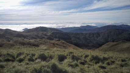
Mount Pulag Summit
14.0 km
Experience the breathtaking beauty of Mount Pulag Summit, where adventure meets stunning landscapes in the heart of the Philippines.

Mount Pulag
14.0 km
Discover the breathtaking beauty of Mount Pulag, a must-visit destination in the Philippines, known for its stunning views and rich biodiversity.
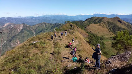
Mines View Condominium
29.3 km
Discover breathtaking views and serene comfort at Mines View Condominium, your ideal retreat in the heart of Baguio's lush mountains.
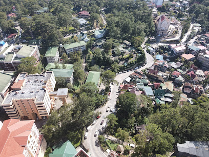
Mines View Park Hotel
29.4 km
Discover the perfect blend of comfort, scenic beauty, and exquisite dining at Mines View Park Hotel in Baguio, a true gem in the Philippines.

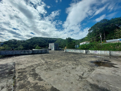
Abandoned Office Building
29.9 km
Explore the haunting beauty of La Trinidad's Abandoned Office Building, a historical landmark rich in mystery and adventure for curious travelers.
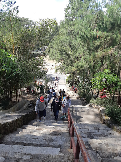
Wright Park High Stairways
30.1 km
Explore the enchanting Wright Park High Stairways in Baguio, where nature and culture blend seamlessly to create a picturesque retreat.
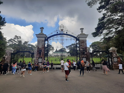
The Mansion Gate
30.1 km
Explore The Mansion Gate in Baguio, a stunning heritage site surrounded by lush gardens and rich history, ideal for tourists and history enthusiasts alike.
Wright Park Horse Stable Hill
30.2 km
Experience the joy of horseback riding in the scenic Wright Park Horse Stable Hill, Baguio, where nature meets adventure in a tranquil setting.
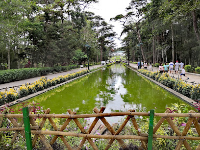
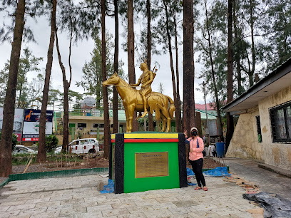
Baguio Apaches Garden at Wright Park
30.2 km
Experience the rich cultural heritage and stunning natural beauty at Baguio Apaches Garden, a serene historical landmark in the heart of Baguio.
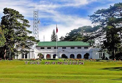
The Mansion
30.2 km
Discover The Mansion in Baguio, a historical gem nestled in lush gardens that reflects the Philippines' rich heritage and presidential legacy.
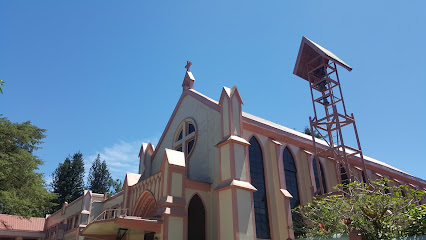
Pink Sisters' Convent and Chapel
31.3 km
Explore the peaceful haven of Pink Sisters' Convent and Chapel in Baguio, where tranquility and spirituality harmonize in a stunning natural setting.
Malcolm Square
31.6 km
Discover the vibrant heart of Baguio at Malcolm Square, a lively town square filled with culture, community, and stunning landscapes.

Historical Core
31.7 km
Discover the Historical Core in Camp John Hay, Baguio - an enchanting landmark rich in Filipino history, culture, and breathtaking natural beauty.
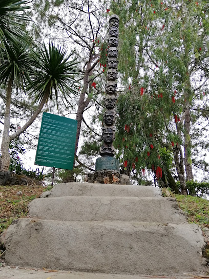
History trail
31.7 km
Discover the rich history and stunning landscapes of Baguio at the captivating History Trail, a perfect blend of nature and heritage.
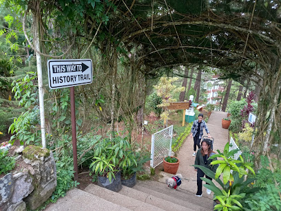
Unmissable attractions to see
HIDDEN GARDEN
1.6 km
Explore the Hidden Garden in Atok, Benguet, a tranquil oasis of vibrant plants and stunning mountain views, perfect for nature lovers and peaceful retreats.
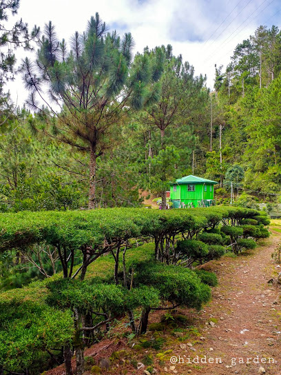
Mt. Olis View Point
2.7 km
Experience the stunning vistas and serene atmosphere at Mt. Olis View Point, a hidden gem nestled in the heart of Benguet, Philippines.
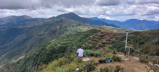
Liyang Rustic, Upcycle Eco Park
3.8 km
Experience the unique beauty of Liyang Rustic, Upcycle Eco Park in Atok, Benguet, where sustainable art meets breathtaking natural landscapes.
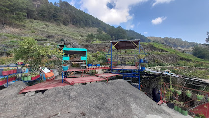
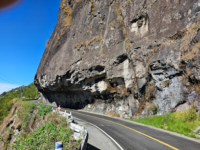
Halsema's Half Tunnel Portion
4.1 km
Explore Halsema's Half Tunnel, an engineering marvel amidst stunning landscapes in Benguet, Philippines, that offers breathtaking views and a unique travel experience.
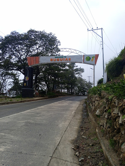
Buguias, Benguet Welcome Arch
4.3 km
Discover the enchanting Buguias Welcome Arch, a stunning gateway to Benguet's rich culture and breathtaking landscapes in the Philippines.
Tinongchol Burial Rock
4.6 km
Explore the rich cultural heritage and breathtaking landscapes at Tinongchol Burial Rock in Kabayan, Benguet.
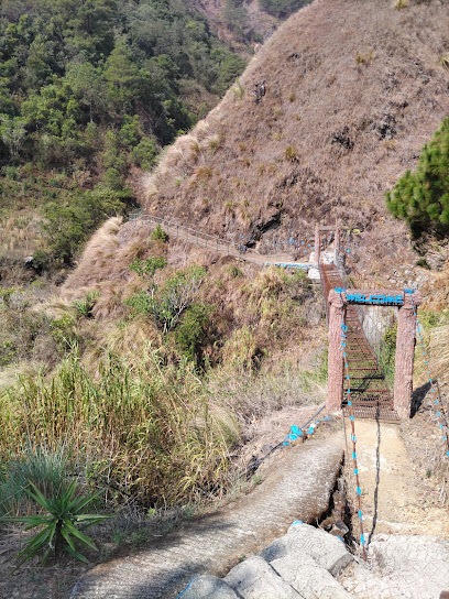
Quarry View Point
6.0 km
Discover the stunning vistas of Quarry View Point in Atok, Benguet—perfect for nature lovers and photographers seeking breathtaking landscapes.
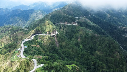
Mount Tabayoc
6.1 km
Experience the breathtaking beauty of Mount Tabayoc in Benguet, a stunning national forest perfect for hiking and nature lovers seeking adventure.
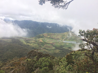
Apo Anno Cave
6.7 km
Discover the enchanting Apo Anno Cave in Benguet, where nature's beauty and rich heritage await the adventurous traveler.

Welcome to Buguias
7.2 km
Explore Buguias, a hidden gem in the Philippines, where breathtaking landscapes meet rich cultural heritage and unforgettable local experiences.

Natubleng View Deck
7.2 km
Experience the breathtaking views at Natubleng View Deck in Buguias, Benguet, a hidden gem for nature lovers and photographers alike.

Mount Pulag View Spot
8.1 km
Discover the breathtaking beauty of Mount Pulag View Spot in Benguet, where stunning mountain vistas and rich biodiversity await every traveler.
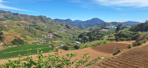
mountain view
9.6 km
Discover the stunning mountain views of Kibungan, Benguet, where breathtaking scenery meets serene tranquility, perfect for nature lovers and adventure seekers alike.

Gambang View Deck
10.0 km
Discover the breathtaking landscapes at Gambang View Deck in Buguias, Benguet, where nature meets tranquility and stunning mountain views await.
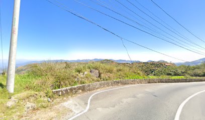
Mount Malboro
11.5 km
Discover the breathtaking beauty of Mount Malboro, a hiker's paradise in Benguet, Philippines, boasting stunning views and diverse wildlife.

Essential places to dine
Ricken Star
1.4 km
Discover Ricken Star: A charming restaurant in Atok offering delicious local cuisine amidst stunning mountain views.
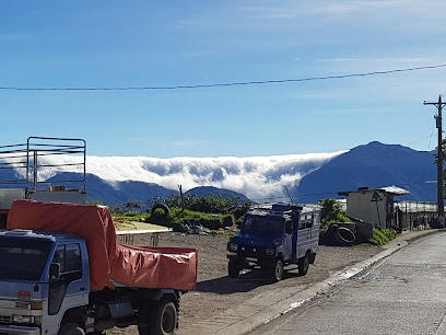
Marosan Northern Restaurant
1.6 km
Experience authentic northern Filipino cuisine amidst breathtaking mountain views at Marosan Northern Restaurant.

Leona's Eatery
1.7 km
Discover authentic flavors at Leona's Eatery in Atok, Benguet - where local ingredients meet stunning mountain views.
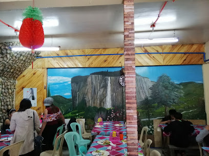
Ivory's Restaurant
1.7 km
Experience authentic Filipino cuisine amidst breathtaking mountain views at Ivory's Restaurant in Kabayan, Benguet.

M’s Northern Restaurant
1.8 km
Experience family-friendly dining at M's Northern Restaurant in Benguet with delicious local flavors and warm hospitality.
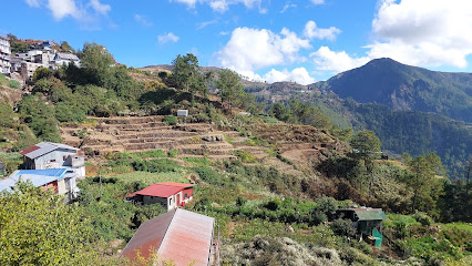
Loyung's Restaurant
2.8 km
Discover authentic Cordilleran flavors at Loyung's Restaurant on Halsema Highway – where every meal is a journey through Benguet's culinary heritage.
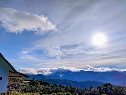
Al's Restaurant
5.4 km
Experience authentic Filipino flavors at Al's Restaurant in Buguias - where generous portions and fast service create unforgettable meals.
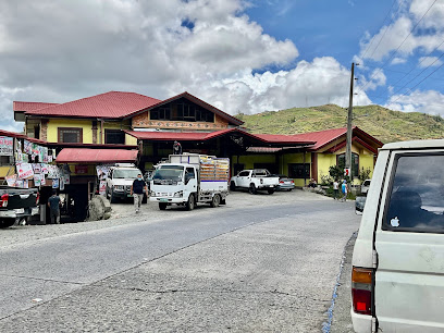
Kabayan Multi-purpose Cooperative- Resto & Lodge
6.9 km
Experience authentic Filipino cuisine and warm hospitality at Kabayan Multi-purpose Cooperative- Resto & Lodge in scenic Benguet.

Casa Calixto
14.6 km
Experience authentic Filipino cuisine at Casa Calixto, where family-friendly dining meets breathtaking views along Halsema Highway.
Mang Ricky's
17.6 km
Discover authentic Filipino flavors at Mang Ricky's in Buguias – where every dish tells a story of tradition and taste.

Galilea Cafe and Restaurant
18.1 km
Discover Galilea Cafe: Where Local Flavors Meet Breathtaking Views in Atok's Scenic Hills.
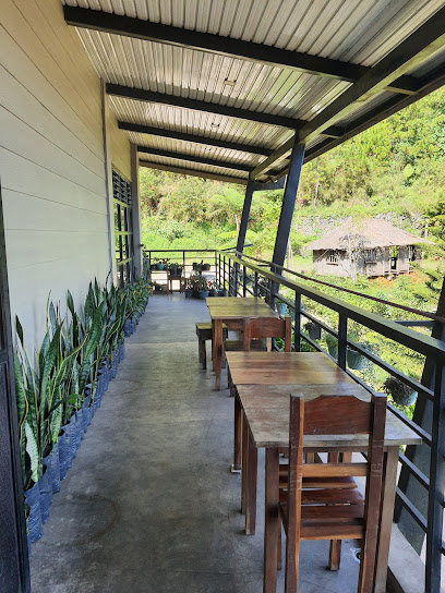
Halsema Restaurant
18.3 km
Experience authentic local cuisine while soaking in stunning mountain views at Halsema Restaurant along Halsema Highway.
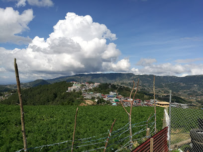
Lolo Cancio’s Resto & Café
18.5 km
Discover authentic Filipino cuisine at Lolo Cancio's Resto & Café in Bokod, Benguet - where every dish tells a story.
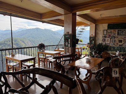
Silvertown Restaurant
18.6 km
Savor authentic Filipino flavors at Silvertown Restaurant in Buguias - where every dish tells a story of tradition and taste.

Igorot Taste
19.1 km
Discover authentic Filipino flavors at Igorot Taste in Bokod, Benguet – a culinary journey through Cordillera's rich heritage.
Markets, malls and hidden boutiques
Kabayan Weaving
7.0 km
Experience the vibrant culture of Benguet at Kabayan Weaving, where traditional craftsmanship meets unique artisanal textiles.

Kollebeng store and dry goods
7.5 km
Explore Kollebeng Store for an authentic Asian grocery experience in Buguias, Benguet, filled with local flavors and culinary treasures.
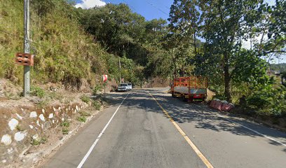
Imelda store
9.6 km
Explore the heart of Kabayan at Imelda Store, where local craftsmanship meets cultural heritage in a delightful shopping experience.
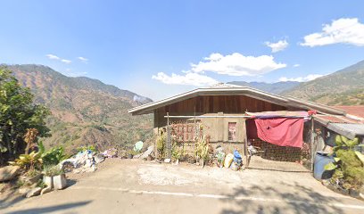
Highest Peak Enterprise
13.5 km
Explore local fashion and unique souvenirs at Highest Peak Enterprise in Kabayan, Benguet – a perfect blend of culture and style.

Mt. Pulag Tent And Dry Goods
13.6 km
Discover the perfect outdoor gear and local apparel at Mt. Pulag Tent And Dry Goods, your essential stop for adventure in Benguet.

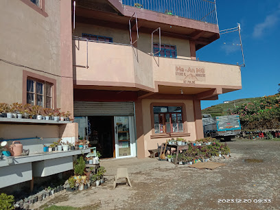
Me-An MG Store and Homestay
13.7 km
Experience the authentic charm of Benguet at Me-An MG Store and Homestay, where local crafts meet warm hospitality amidst stunning landscapes.
Mt. Pulag
14.1 km
Explore the breathtaking Mt. Pulag, a hiker's dream with stunning views, diverse ecosystems, and a mesmerizing sea of clouds in the heart of the Philippines.
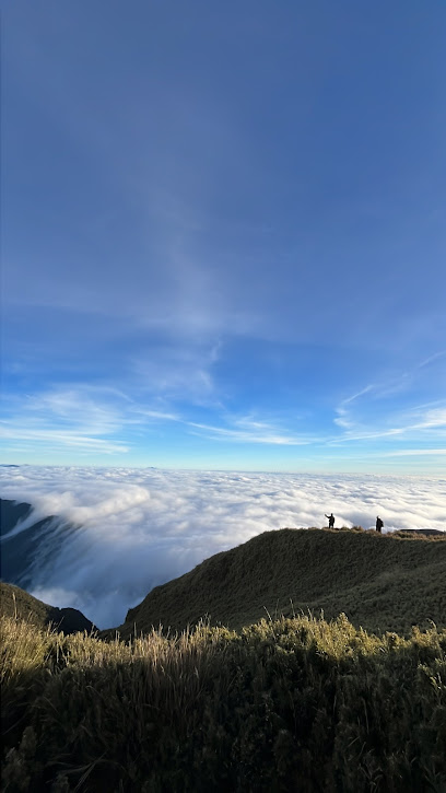
RB General Merchandise
14.5 km
Discover a treasure trove of literature at RB General Merchandise in Bokod, Benguet, where every book tells a story waiting to be explored.
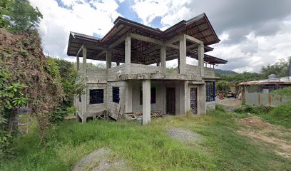
Rognase Store
14.7 km
Discover the authentic tastes and local goods of Bokod, Benguet at Rognase Store, a charming grocery store showcasing regional flavors.
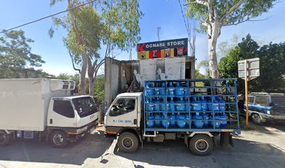
Vital's Store
14.8 km
Explore the charm of Buguias at Vital's Store, where local culture and friendly service come together for an unforgettable shopping experience.

Iver Piolo Sari-Sari Store
17.7 km
Experience the heart of Tinoc at Iver Piolo Sari-Sari Store, your go-to spot for local snacks and essential goods in Ifugao.

BL.LD Store
19.1 km
Explore the unique offerings of BL.LD Store in Buguias, a shopping haven showcasing local culture and crafts in the heart of Benguet.
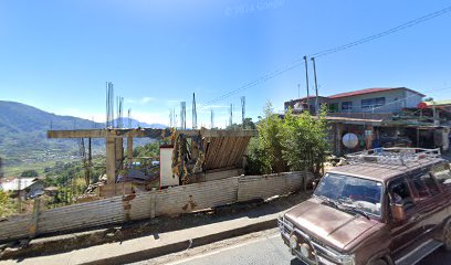
Upper Lanas Loo
19.3 km
Experience the local flavors and vibrant culture at Upper Lanas Loo, the grocery store in Buguias, Benguet, perfect for tourists seeking authentic culinary delights.

Sawac-Aguilar Store
21.4 km
Discover local flavors and essential supplies at Sawac-Aguilar Store, your friendly convenience shop in the heart of Buguias, Benguet.

Sheryl Online shop
22.3 km
Explore Sheryl Online Shop in Tinoc for exquisite local clothing reflecting the rich culture of Ifugao, a must-visit for every traveler.
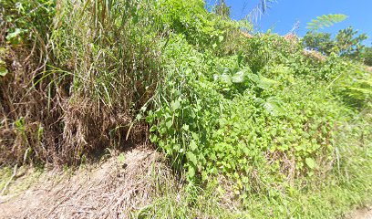
Essential bars & hidden hideouts
ROUTE 49 TRANSIENT HOUSE
2.8 km
Discover the serene charm of Route 49 Transient House, your cozy escape in the heart of Benguet, Philippines, perfect for relaxation and adventure.
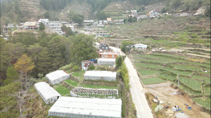
7 Degrees Bar
8.0 km
Experience the vibrant nightlife and local culture at 7 Degrees Bar in Kibungan, Benguet, where every drink tells a story.

Knock 0ut Sports and Music Bar
10.3 km
Join the excitement at Knock 0ut Sports and Music Bar, Kibungan's go-to spot for sports, music, and delicious food.

Yabow garden
13.2 km
Discover tranquility at Yabow Garden, a picturesque bar in Bokod, Benguet, offering refreshing drinks amidst stunning mountain views.
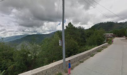
Saskia store-billiards &v.oke bar
16.1 km
Experience the lively atmosphere of Saskia Store, a premier billiards and karaoke bar in Tuba, Benguet, perfect for tourists seeking fun and entertainment.
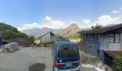
S.Mondragon Video Oke Bar
18.1 km
Experience the vibrant nightlife at S.Mondragon Video Oke Bar in Buguias, Benguet - a karaoke haven with drinks and lively entertainment.
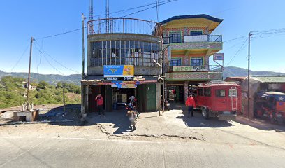
Route 83 Restobar
27.2 km
Experience the vibrant atmosphere and stunning views at Route 83 Restobar, a charming bar in Itogon, Benguet, perfect for relaxation and local culture.
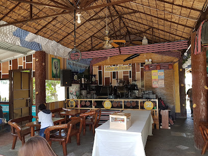
Uplift sportz restobar
29.4 km
Experience the lively atmosphere of Uplift Sportz Restobar in La Trinidad, where delicious drinks and local flavors meet vibrant entertainment.
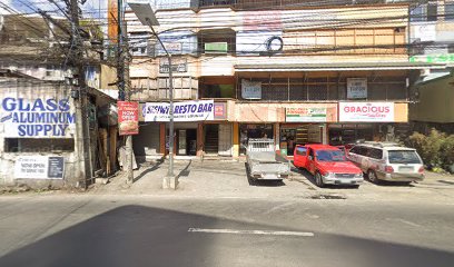
Brod Alas Resto Bar
29.9 km
Experience the perfect blend of local flavor and breathtaking views at Brod Alas Resto Bar in Baguio.

Carulla’s Bar and Resto
30.0 km
Discover Carulla’s Bar and Resto in Baguio, where vibrant nightlife meets local flavors and welcoming ambiance.
Chemistry Bar
30.4 km
Experience the vibrant nightlife at Chemistry Bar in Baguio, offering diverse drinks and a lively atmosphere for travelers and locals alike.
Craft 1945
30.5 km
Experience the best of Baguio's culinary scene at Craft 1945, where traditional flavors meet modern dining in a charming setting.

After 8 Bistro
30.6 km
Experience the vibrant nightlife at After 8 Bistro, Baguio's premier bar for drinks, local delicacies, and exciting video karaoke sessions.

Bar-Code Gastropub
30.7 km
Discover the vibrant nightlife of Baguio at Bar-Code Gastropub, where craft drinks and local flavors come together in a cozy atmosphere.

Bar Tech Resto Bar
30.8 km
Experience the cool ambiance and delicious grill specialties at Bar Tech Resto Bar, a perfect dining spot for tourists in Baguio.
