
Explore the Majestic Cerro de Punta Trailhead
Experience breathtaking views and rich biodiversity at Cerro de Punta Trailhead, the gateway to Puerto Rico's tallest peak.
The Cerro de Punta Trailhead beckons adventurous tourists to experience the breathtaking beauty of Puerto Rico's highest peak. This accessible hiking area offers stunning views and a rich natural environment for outdoor enthusiasts.
A brief summary to Cerro de Punta Trailhead
- 5C96+QVM, PR-143, Jayuya, Jayuya, PR
Local tips
- Start your hike early in the morning for cooler temperatures and fewer crowds.
- Wear sturdy hiking shoes to navigate the trail comfortably.
- Bring plenty of water and snacks to stay hydrated and energized during your hike.
- Don't forget your camera to capture the stunning views along the trail.
Getting There
-
Car
If you are traveling by car, start your journey on PR-10. From the center of Ponce, head north on PR-10 for approximately 20 miles until you reach the junction with PR-143. Take the exit for PR-143 towards Jayuya. Drive along PR-143 for about 15 minutes until you reach the Cerro de Punta Trailhead. You will see a sign for the trailhead at the coordinates 5C96+QVM, located at approximately latitude 18.1694563 and longitude -66.5878402. There is no entrance fee to access the trailhead.
-
Public Transportation
To reach the Cerro de Punta Trailhead using public transportation, begin by taking a bus from San Juan to Ponce. The bus service is operated by the Puerto Rico Metro and costs approximately $6-8 USD for a one-way ticket. Once you arrive in Ponce, transfer to a local bus heading towards Jayuya. This leg of the journey may cost around $2-3 USD. Inform the bus driver of your destination and they will drop you off at the nearest point to the Cerro de Punta Trailhead. Be prepared for a short walk (about 10-15 minutes) from the bus stop to the trailhead.
Discover more about Cerro de Punta Trailhead
Iconic landmarks you can’t miss
Cordillera Central
0.6 km
Discover the stunning Cordillera Central, Puerto Rico's majestic mountain range, rich in biodiversity, culture, and breathtaking views.

Piedra Blanca
1.7 km
Discover the breathtaking beauty and adventure of Piedra Blanca, a majestic mountain peak in Jayuya, Puerto Rico, ideal for nature lovers and explorers.
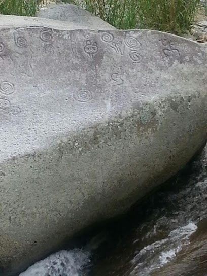
Finca Yarari
3.1 km
Experience the tranquility of Finca Yarari, a picturesque farmstay in Jayuya, Puerto Rico, where nature and sustainable living meet.
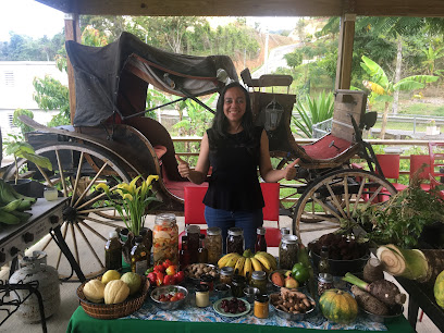
Café Tres Picachos
3.5 km
Experience the rich flavors of Puerto Rican coffee at Café Tres Picachos, a serene spot nestled in the heart of Jayuya's beautiful mountains.
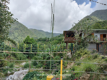
Hacienda Victoria Lucía
3.9 km
Discover the charm of Hacienda Victoria Lucía, a serene hotel in Jayuya, Puerto Rico, blending modern comfort with rich cultural experiences.
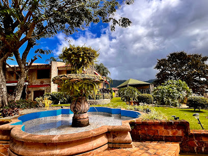
Casa de Cesar
4.6 km
Discover the charm of Casa de Cesar, a cozy bed and breakfast in Jayuya, Puerto Rico, where local hospitality meets stunning natural beauty.

Río Saliente
5.4 km
Experience the tranquil beauty of Río Saliente in Jayuya, Puerto Rico, where crystal-clear waters and lush landscapes await every traveler.

Hacienda San Pedro Jayuya - Coffee Shop
5.4 km
Experience the authentic taste of Puerto Rican coffee at Hacienda San Pedro Jayuya, a captivating coffee shop and roastery in the lush hills of Jayuya.
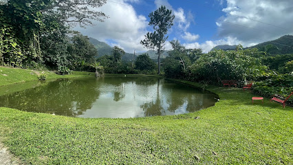
Muro en Recuerdo a la Revuelta del 1950
5.5 km
Explore the Muro en Recuerdo a la Revuelta del 1950 in Jayuya – a powerful mural that commemorates Puerto Rico's struggle for independence and resilience.
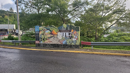
Blanca Canales Torresola Izó la bandera de Puerto Rico
5.5 km
Discover the legacy of Puerto Rican independence at the Blanca Canales Torresola landmark in Jayuya, where history and culture come alive amidst stunning natural beauty.
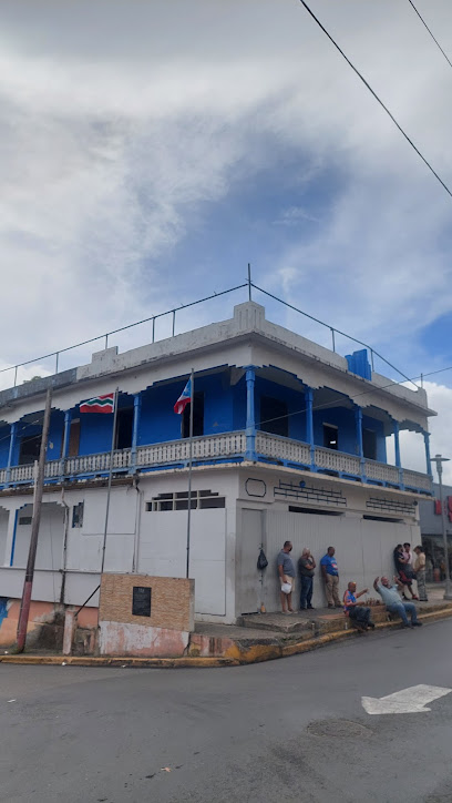
La Casa de Abuelo
5.5 km
Discover the charm of Jayuya at La Casa de Abuelo, a cozy guest house offering comfort, local culture, and stunning natural beauty in Puerto Rico.
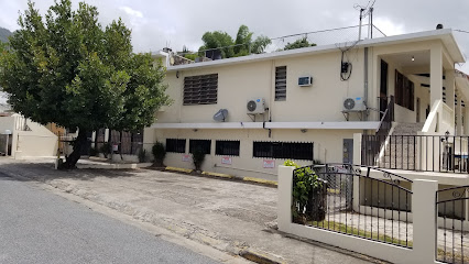
Busto del Cacique Hayuya y Tumba del Indio
5.6 km
Explore the Busto del Cacique Hayuya and Tumba del Indio, a cultural gem in Jayuya celebrating Puerto Rico's rich indigenous heritage amidst stunning landscapes.
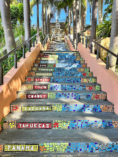
Antiguo Puente
5.6 km
Explore the Antiguo Puente in Villalba, Ponce, where historical charm meets breathtaking natural beauty.
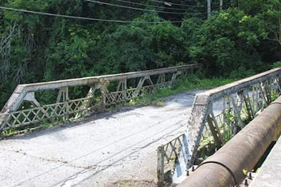
Tu Bolera Jayuya
5.8 km
Enjoy an exciting bowling experience at Tu Bolera Jayuya, where fun meets great food in the heart of Puerto Rico.
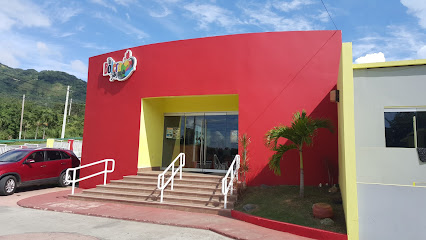
Parque Familiar Adrián Padua Sánchez
5.8 km
Experience thrilling rides and family fun at Parque Familiar Adrián Padua Sánchez, Jayuya's premier amusement park for all ages.
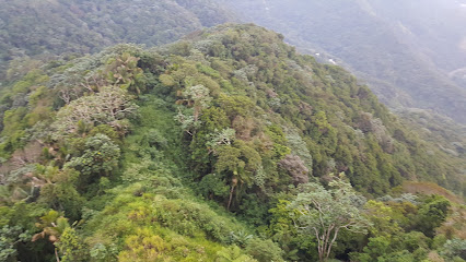
Unmissable attractions to see
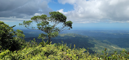
Cerro de Punta
0.5 km
Experience the breathtaking heights of Cerro de Punta, the highest peak in Puerto Rico, offering stunning views and a rich natural ecosystem.
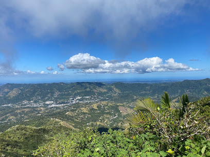
Bosque Estatal Toro Negro
2.8 km
Discover the breathtaking beauty of Bosque Estatal Toro Negro, a national forest in Puerto Rico, perfect for nature lovers and adventure seekers.
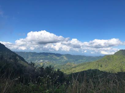
Cerro Maravilla
4.0 km
Discover the breathtaking beauty of Cerro Maravilla, a majestic mountain peak offering stunning views and rich biodiversity in Jayuya, Puerto Rico.
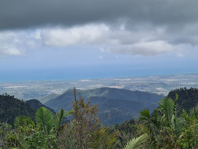
El Banquillo
4.1 km
Discover the historical charm and breathtaking views at El Banquillo in Ponce, Puerto Rico - an essential stop for every tourist.
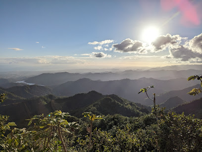
Museo El Cemí
5.3 km
Explore the captivating history of the Taino people at Museo El Cemí, a cultural treasure in Jayuya, Puerto Rico.
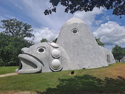
Museo Casa Canales
5.3 km
Explore Puerto Rican culture and history at Museo Casa Canales in Jayuya, a vibrant museum dedicated to preserving local heritage.
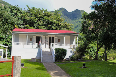
La Piedra Escrita
5.5 km
Explore La Piedra Escrita, an archaeological treasure in Jayuya, Puerto Rico, featuring ancient petroglyphs and lush natural surroundings.
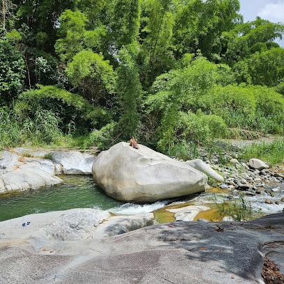
Plaza Nemesio Rosario Canales Rivera
5.5 km
Explore Plaza Nemesio Rosario Canales Rivera, a peaceful park in Jayuya, rich in nature and local culture, perfect for relaxation and education.
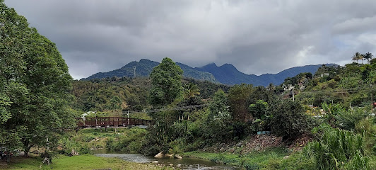
La Tumba Del Taíno (Mausoleo Indigena) Jayuya
5.6 km
Explore the rich heritage of the Taíno people at La Tumba Del Taíno, a captivating museum in Jayuya, Puerto Rico, dedicated to indigenous culture and history.
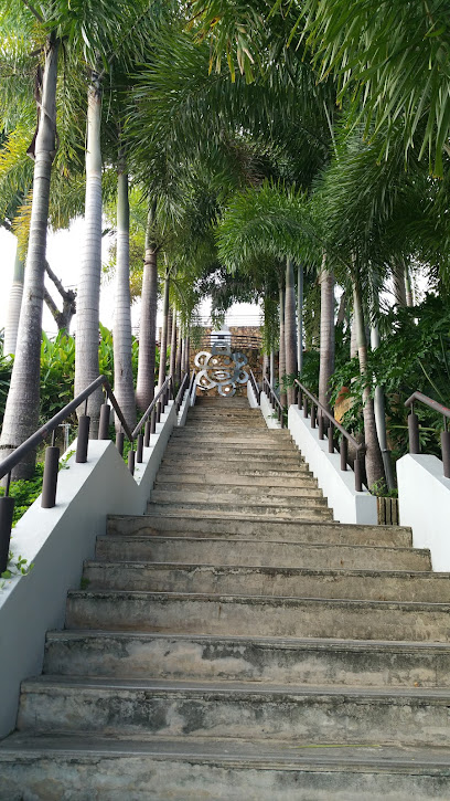
Guanica
5.7 km
Discover the enchanting beauty of Guanica, Puerto Rico, where lush landscapes meet rich history and vibrant culture.

Tres Pueblos / La Pica
6.6 km
Discover the hidden beauty and cultural richness of Tres Pueblos / La Pica in Puerto Rico, where nature and tradition come alive for an unforgettable experience.
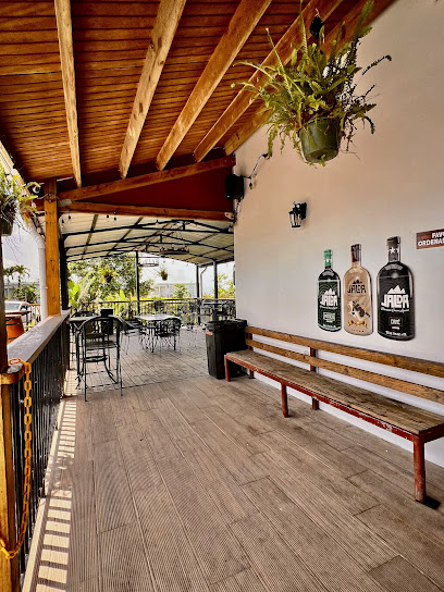
Tres Picachos
7.0 km
Explore the stunning dual summits of Tres Picachos in Ciales, Puerto Rico—an adventurer's haven for breathtaking views and nature's beauty.
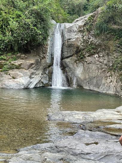
El Salto Collores Waterfall
7.6 km
Experience the tranquility and natural beauty of El Salto Collores Waterfall, a stunning Puerto Rican oasis perfect for adventure and relaxation.
Cerrillos Dam
7.9 km
Explore the serene beauty and diverse wildlife at Cerrillos Dam, a premier tourist destination in Ponce, Puerto Rico, perfect for outdoor activities and relaxation.
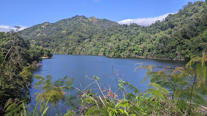
Adventure Discovery Puerto Rico
8.2 km
Experience the thrill of ziplining and hiking through the stunning landscapes of Orocovis at Adventure Discovery Puerto Rico, a top tourist attraction.
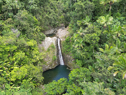
Essential places to dine
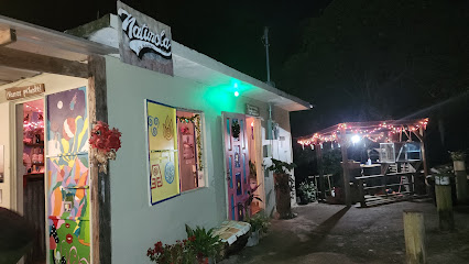
Naturola La Barra
2.3 km
Discover Naturola La Barra in Jayuya - where rustic charm meets delicious local flavors amidst stunning Puerto Rican landscapes.
La Campiña Restaurant
2.9 km
Experience the best of Puerto Rican cuisine at La Campiña Restaurant in Jayuya – where every dish tells a story.
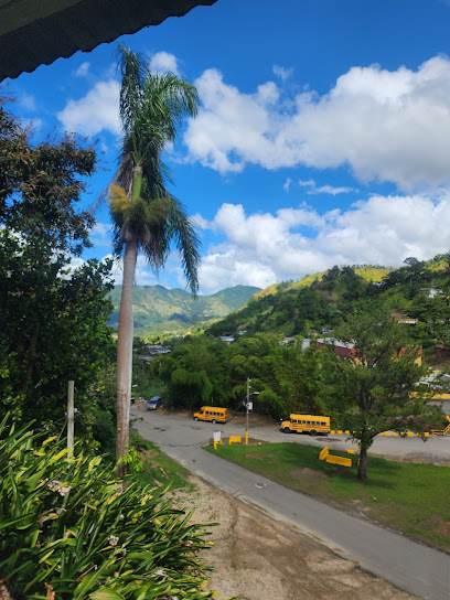
El Refugio
3.2 km
Experience authentic Puerto Rican cuisine with breathtaking mountain views at El Refugio in Jayuya.
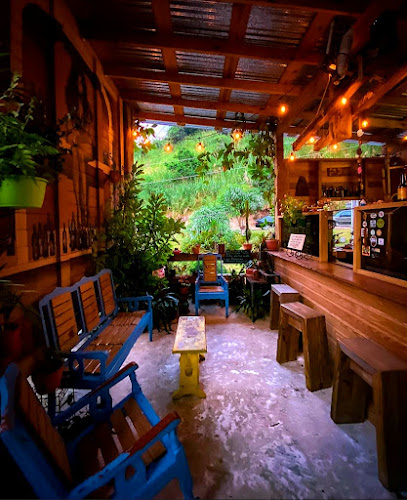
El Burén
3.8 km
Experience authentic Puerto Rican flavors at El Burén in Jayuya – a culinary haven for travelers seeking local delights.
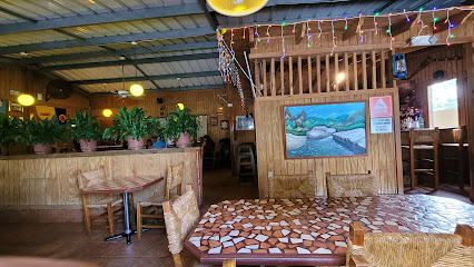
Las Cabañas
4.2 km
Discover authentic Puerto Rican cuisine at Las Cabañas in Jayuya, where every dish is infused with flavor and served with stunning views.
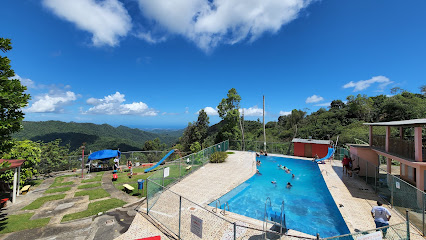
La Casita Restaurant by Chef Javier
5.3 km
Experience authentic Puerto Rican cuisine with a modern twist at La Casita Restaurant by Chef Javier in Coabey.
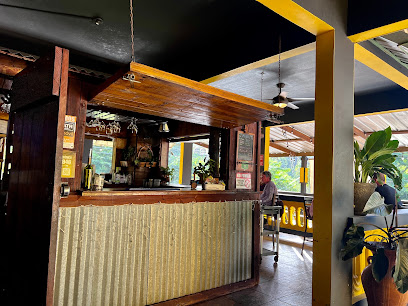
Aguzao Restobar
5.4 km
Discover the flavors of Puerto Rico at Aguzao Restobar in Jayuya – where tradition meets culinary excellence.
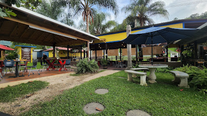
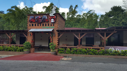
ASAO Smokehouse At La Piedra Escrita
5.5 km
Discover the best BBQ experience at ASAO Smokehouse in Jayuya – where local flavors meet stunning scenery.
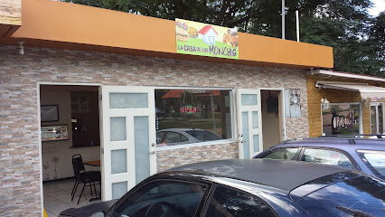
La Casa De Los Monchis
5.5 km
Experience authentic Puerto Rican flavors at La Casa De Los Monchis in Jayuya - A must-visit culinary destination!
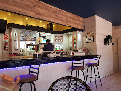
Pal-Sazón
5.6 km
Discover Pal-Sazón in Jayuya: A Seafood Restaurant Celebrating Fresh Catches and Authentic Caribbean Flavors.
La Casona Restaurant
5.6 km
Experience authentic Puerto Rican cuisine at La Casona Restaurant in Jayuya - a must-visit dining destination for all food lovers.
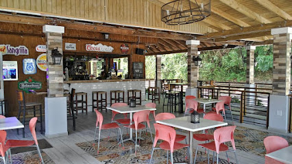
4 de Julio Panorámico
5.6 km
Discover authentic Puerto Rican cuisine at 4 de Julio Panorámico, where every meal comes with stunning panoramic views.
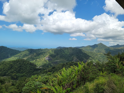
Nueva Patria Mía
5.7 km
Discover authentic Puerto Rican flavors at Nueva Patria Mía – where every meal is a celebration of culture and taste.
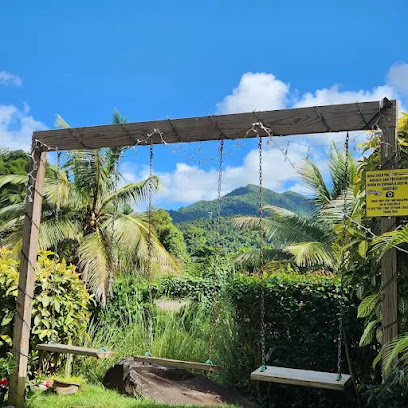
Pa' la panza
6.2 km
Experience authentic Puerto Rican barbecue at Pa' la panza in Jayuya—where flavors meet tradition in every bite.
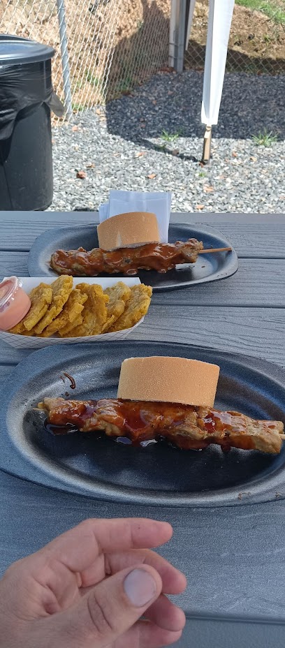
El Rincón Bar & Rest.
6.4 km
Discover authentic Puerto Rican grilled cuisine at El Rincón Bar & Rest., where every bite tells a story in Jayuya.
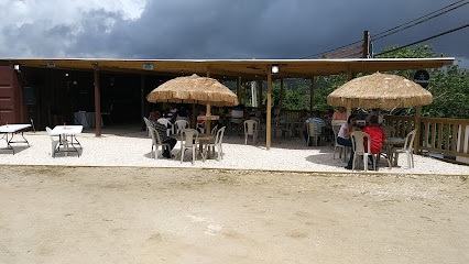
Markets, malls and hidden boutiques
Topes by Laura Liz(Soy's Cake)/Pégalo by Strubbe/ Mundo Cortadores
4.4 km
Discover the vibrant world of crafts at Topes by Laura Liz in Jayuya, Puerto Rico – a creative hub for cake decorators and local artisans alike.

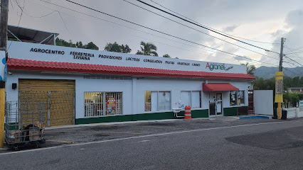
Agranel Best Mart
4.8 km
Explore Agranel Best Mart in Jayuya for fresh produce and local delicacies, a true taste of Puerto Rican culture.
Colmado Serrano Jr
5.1 km
Explore the vibrant selection of local spirits and craft beers at Colmado Serrano Jr, a true gem in the heart of Ponce, Puerto Rico.

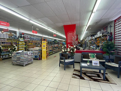
Bargain City
5.2 km
Explore Bargain City in Jayuya for unique home goods and souvenirs at unbeatable prices, capturing the spirit of Puerto Rico in every purchase.
Vega Linda Bakery
5.4 km
Experience the authentic taste of Puerto Rico at Vega Linda Bakery in Jayuya, where every bite tells a delicious story.
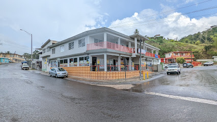
KE Sabroso!
5.4 km
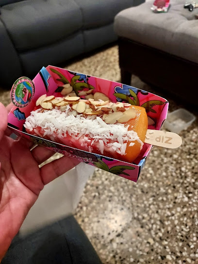
Experience the delightful flavors of Jayuya at KE Sabroso!, the ultimate destination for ice cream lovers in Puerto Rico.
Super Mueblicentro Inc
5.4 km
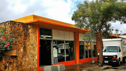
Explore Super Mueblicentro Inc in Jayuya for unique furniture that blends local craftsmanship with modern design, perfect for enhancing your home.
La Finca Products
5.4 km
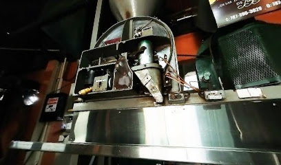
Experience the essence of Puerto Rico at La Finca Products, where fresh local produce and artisanal honey await your discovery.
La Gloria
5.5 km
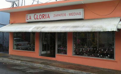
Explore La Gloria in Jayuya, Puerto Rico - where style and comfort converge for every shoe enthusiast visiting the region.
La Herencia Specialty Goods
5.5 km
Experience the vibrant culture of Puerto Rico at La Herencia Specialty Goods in Jayuya, your go-to spot for local artisan treasures and flavors.
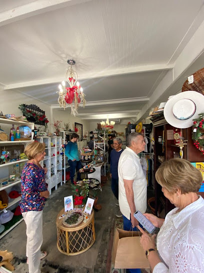
La Placita De Jayuya
5.5 km
Explore La Placita De Jayuya, a vibrant grocery store in Jayuya offering fresh produce, local delights, and a taste of Puerto Rican culture.

Alas Estilo Boutique
5.5 km
Explore Alas Estilo Boutique in Jayuya for unique fashion and handcrafted treasures that embody the spirit of Puerto Rican culture.

Marielé Boutique
5.5 km
Explore Marielé Boutique in Jayuya for locally crafted treasures and unique souvenirs that embody the spirit of Puerto Rican artistry.

Mya Steel Boutique
5.5 km
Explore the vibrant culture of Puerto Rico through unique fashion and artisanal treasures at Mya Steel Boutique in Jayuya.

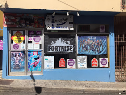
Video Express Jayuya
5.5 km
Discover the magic of cinema at Video Express Jayuya, where movie lovers unite in a vibrant cultural hub of film and community.
Essential bars & hidden hideouts
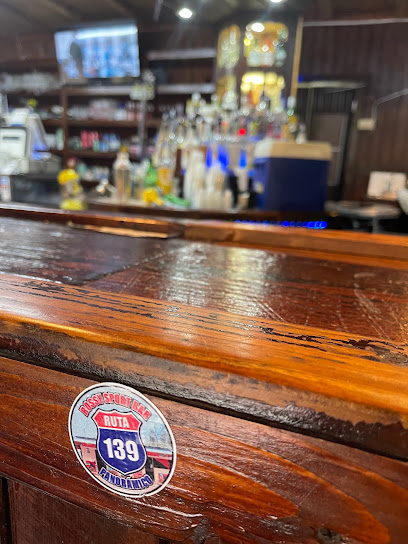
Rossy Sport Bar Panoramico
3.9 km
Discover the lively atmosphere and exquisite grilled dishes at Rossy Sport Bar Panoramico in Ponce, a must-visit for food lovers.
JOTO's Sport Bar
5.0 km
Discover the vibrant nightlife and local flavors at JOTO's Sport Bar in Jayuya, Puerto Rico - the perfect spot to unwind and enjoy great company.
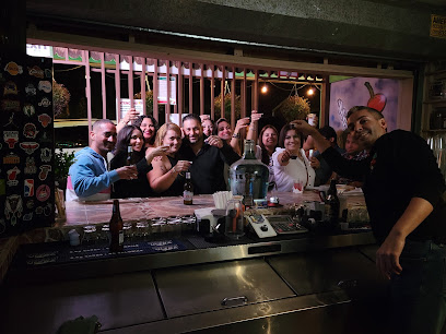
Tite La Pala
5.2 km
Enjoy the vibrant nightlife at Tite La Pala, a lively bar in Jayuya, where great drinks and local culture come together.
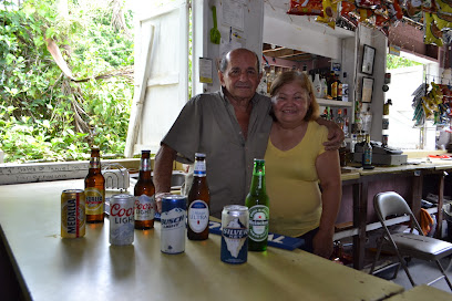
Bar La Tuerca
5.3 km
Experience the lively atmosphere and authentic Puerto Rican drinks at Bar La Tuerca in Coabey, a must-visit for nightlife lovers.
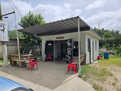
Pikoteo Bar
5.5 km
Experience the vibrant atmosphere and local flavors at Pikoteo Bar in Jayuya, a perfect spot for relaxation and socializing.
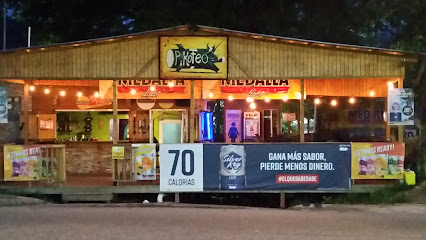
El Colorao Sports Bar
5.6 km
Experience the vibrant ambiance of El Colorao Sports Bar in Jayuya, where sports, local flavors, and great company come together for an unforgettable night.
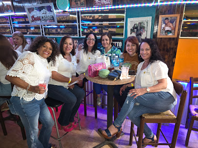
Bako
5.6 km
Discover the vibrant atmosphere of Bako, a lively bar in Jayuya offering a mix of local and international drinks, perfect for unwinding after exploring Puerto Rico.
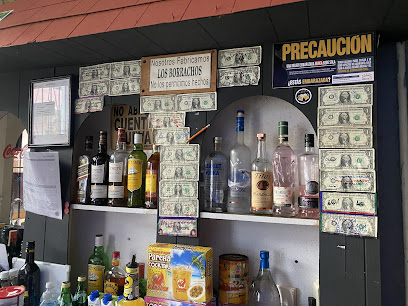
La barata bar
5.7 km
Experience the lively nightlife and local culture at La Barata Bar in Jayuya, Puerto Rico. Perfect for unwinding with drinks and socializing.

Bar torto
5.7 km
Experience the vibrant nightlife and local culture at Bar Torto in Jayuya, Puerto Rico, where great drinks and live music await.

Local Bar
5.7 km
Enjoy the vibrant nightlife at Jayuya's Local Bar, a perfect blend of local culture, drinks, and live music in Puerto Rico.

La Frontera Jayuya - Utuado
6.7 km
Discover La Frontera Jayuya - Utuado, where vibrant local culture meets a lively bar atmosphere perfect for relaxation and socializing.
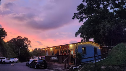
Kalimba'h Cafe & Bar
7.1 km
Experience the vibrant nightlife at Kalimba'h Cafe & Bar in Ponce, where tropical flavors meet breathtaking views for an unforgettable evening.
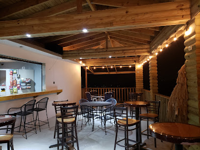
La Montaña
8.0 km
Experience the vibrant nightlife of Jayuya at La Montaña, a lively bar offering local flavors and an unforgettable atmosphere.

Divisoria Bar & Grill
8.4 km
Experience the authentic flavors of Puerto Rico at Divisoria Bar & Grill, a vibrant restaurant in Orocovis, perfect for food lovers and cultural explorers.
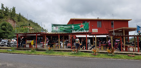
El Resuelve
9.0 km
Experience the vibrant culture of Puerto Rico at El Resuelve, a beloved bar in Jayuya offering delicious food and drinks.
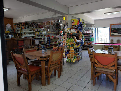
Nightclubs & after hour spots
Rincon Verde
13.1 km
Experience the vibrant nightlife at Rincon Verde, Ponce's premier night club, where music, dancing, and local culture come alive.
Venus
17.6 km
Discover the lively nightlife at Venus Night Club in Ponce, Puerto Rico - where music, dancing, and unforgettable memories await.
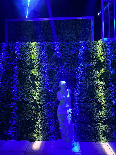
Dancers Club
17.6 km
Discover the vibrant nightlife of Ponce at Dancers Club, where great music, delicious food, and entertainment await you.
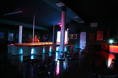
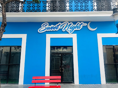
Sweet Night
17.6 km
Dive into the energetic vibe of Sweet Night, Ponce's premier disco club, where unforgettable nights of dancing and music await.
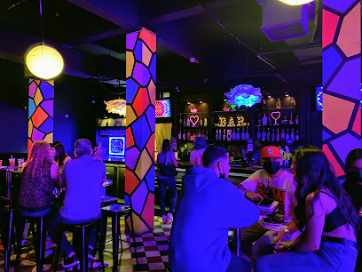
Naughty Nightclub
17.6 km
Naughty Nightclub in Ponce, Puerto Rico, is the ultimate nightlife destination, blending electrifying music, gourmet dining, and a vibrant atmosphere for an unforgettable experience.
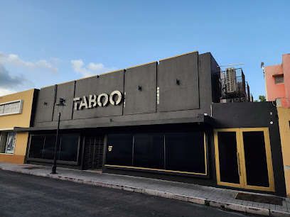
Taboo Night Club PR
17.6 km
Discover the electrifying nightlife of Ponce at Taboo Night Club, where unforgettable music and vibrant energy meet in the heart of Puerto Rico.
Mirrors Night Club
18.0 km
Dive into the vibrant nightlife of Ponce at Mirrors Night Club, the ultimate destination for dance, music, and inclusive fun.

Baywatch Beach Club
21.3 km
Discover the vibrant atmosphere and stunning views at Baywatch Beach Club, your premier bar destination in Ponce, Puerto Rico.
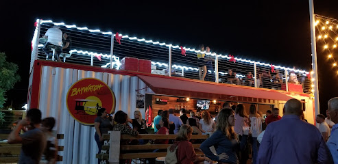
QBar
22.0 km
Experience the vibrant nightlife of Ponce at QBar, a lively bar known for its refreshing drinks and friendly atmosphere.
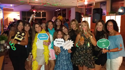
Bakano’s Sport Bar
25.9 km
Experience the vibrant nightlife and local sports culture at Bakano’s Sport Bar in Manatí, where good times and great drinks await.
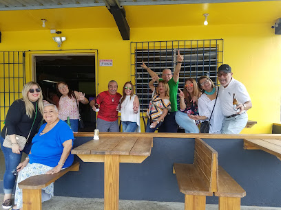
Posada La Jamaca & Bar
26.5 km
Experience the vibrant nightlife of Manatí at Posada La Jamaca & Bar, a must-visit destination for tourists seeking local flavor and fun.
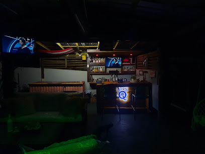
Casa de gallito
26.7 km
Experience the vibrant nightlife of Manatí at Casa de Gallito, where music and dance come alive in a celebration of Puerto Rican culture.

El Nido del Pitirre
26.8 km
Discover El Nido del Pitirre, a vibrant bar in Arecibo, Puerto Rico, where local flavors and warm hospitality combine for an unforgettable experience.
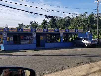
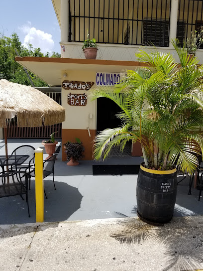
Tirado’s Sport Bar
26.9 km
Discover the lively atmosphere of Tirado's Sport Bar in Manatí, Puerto Rico, where sports and community come together for an unforgettable night out.
Pink Beauty
27.3 km
Discover the vibrant culture of Guayanilla at Pink Beauty Lounge, a perfect spot for relaxation and local flavors in Puerto Rico.


