Discover the Artistic Charm of Maľované Panoramatické Mapy by Pazdera
Explore the vibrant artistry of Slovakia at Maľované panoramatické mapy by Pazdera, where panoramic maps meet exquisite craftsmanship.
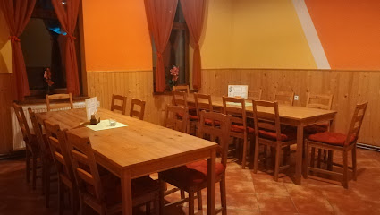
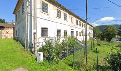
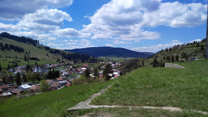
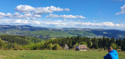
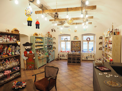
Nestled in the heart of Slovakia, Maľované panoramatické mapy by Pazdera is a hidden gem for art enthusiasts and tourists alike. This unique establishment specializes in the creation of beautifully crafted panoramic maps, capturing the essence of Slovakia's breathtaking landscapes. Visitors can explore the artistry behind these maps and appreciate the intricate details that showcase the region's natural beauty. Whether you're looking to take home a piece of Slovak culture or simply admire the craftsmanship, this location is a must-visit while you explore the rich artistic heritage of the area.
A brief summary to Maľované panoramatické mapy_Pazdera
Local tips
- Visit during the week for a quieter experience and more personalized attention from the staff.
- Check their website for any upcoming workshops to learn more about map-making techniques.
- Don't forget to ask about limited edition maps that showcase unique areas of Slovakia.
- Bring a camera to capture the stunning artwork and the creative workspace.
Getting There
-
Car
If you're traveling by car, head towards the town of Detva in Podpoľanie. From Detva, take the road towards the direction of Hriňová. After about 8 kilometers, look for signs directing you to the Maľované panoramatické mapy_Pazdera. The exact coordinates are approximately 48.672482 latitude and 19.69944 longitude. There is free parking available nearby, so you can park your vehicle and walk to the site.
-
Public Transportation
To reach Maľované panoramatické mapy_Pazdera using public transport, take a bus from Detva to Hriňová. Make sure to check the local bus schedule for departure times. Once you arrive in Hriňová, you can either walk (approximately 2 km) or take a local taxi to reach the location. Walking from Hriňová will take about 25 minutes. Confirm the drop-off point with your bus driver to ensure you get off close to the right area.
-
Walking
If you're already in the vicinity of Maľované panoramatické mapy_Pazdera, there's a walking path leading directly to the site. Starting from the main road, follow signs that direct you towards the panoramic maps. The area is well-marked, and the walk offers scenic views of the surrounding landscape, making it a pleasant journey.
Discover more about Maľované panoramatické mapy_Pazdera
Iconic landmarks you can’t miss
Planéta Zážitkov
0.0 km
Discover the vibrant creative spirit of Planéta Zážitkov, an arts organization offering immersive workshops and cultural events in a welcoming atmosphere.
Maľované panoramatické mapy_Pazdera
0.0 km
Explore the vibrant artistry of Slovakia at Maľované panoramatické mapy by Pazdera, where panoramic maps meet exquisite craftsmanship.

Výlet Slovenskom
0.0 km
Explore Slovakia's breathtaking landscapes and rich cultural heritage at Výlety Slovenskom, your essential tourist information center.
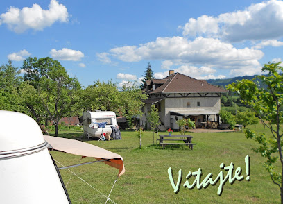
Camping Guesthouse Sedliacky Dvor / Het Boerenhof
13.8 km
Experience the perfect blend of nature and comfort at Camping Guesthouse Sedliacky Dvor in Brezno, Slovakia, a serene retreat for all travelers.
Námestie generála Štefánika
15.4 km
Discover the vibrant culture and history of Brezno at Námestie generála Štefánika, the town's lively central square surrounded by charming architecture.
Turistická útulňa Javorinka
16.0 km
Experience the serene beauty and historical significance of Turistická Útulňa Javorinka, a cozy retreat in the heart of Slovakia's stunning landscape.
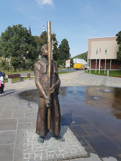
Turistické informačné centrum Hriňová
16.4 km
Explore Hriňová with expert guidance at the Tourist Information Center, your go-to resource for local attractions and experiences.
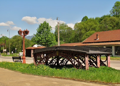
starý liatinový most pred zlievárňou v Hronci
16.6 km
Discover the Starý Liatinový Most, a stunning iron bridge in Hronec, Slovakia, blending history with breathtaking natural beauty.
Prajský dom
17.1 km
Explore Prajský dom in Hronec, a historic landmark that reveals Slovakia's rich cultural heritage and stunning natural beauty.
Chalupa na Zelenej lúke Hriňovské lazy
19.5 km
Experience tranquility and nature at Chalupa na Zelenej lúke in Hriňová, Slovakia, your perfect villa retreat for relaxation and adventure.
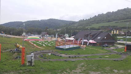
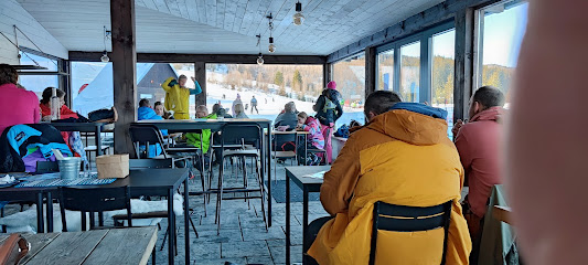
Mýto ski & fun
20.1 km
Discover the thrill of winter sports at Mýto Ski & Fun, a family-friendly ski resort nestled in the stunning Slovak mountains, perfect for all skill levels.
Tŕstie
21.3 km
Explore the stunning hiking trails of Těsto, Slovakia, where breathtaking landscapes and rich biodiversity await every adventurer.
Nižná Kľaková
22.0 km
Discover the serene hiking trails and stunning landscapes of Nižná Kľaková, a hidden gem in Slovakia for nature lovers and adventurers.
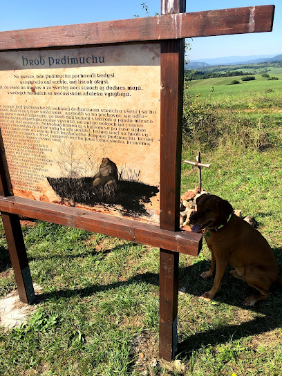
Hrob Prdimuchu - na chodníku Prdimuchu
22.1 km
Explore Hrob Prdimuchu in Horná Lehota: A historical landmark rich in folklore and cultural significance amidst stunning natural beauty.
Chata Tále - Dom Horskej služby
23.3 km
Discover Chata Tále, a tranquil retreat in Horná Lehota, where adventure meets comfort amidst stunning Slovak mountain landscapes.
Unmissable attractions to see
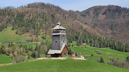
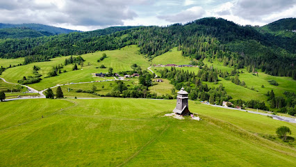
Rozhľadňa nad parkom miniatúr
7.9 km
Experience the magic of Slovakia at Rozhľadňa nad parkom miniatúr, where miniature wonders and stunning views await every visitor.
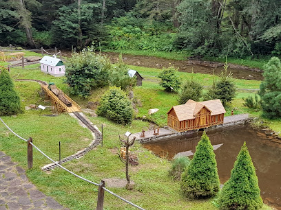
Open-air museum
7.9 km
Explore the rich cultural heritage of Slovakia at the enchanting Open-Air Museum in Čierny Balog, where history comes alive amidst stunning natural beauty.
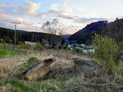
Betónové opevnenia nad Vydrovskou dolinou
8.3 km
Discover the historic Betónové Opevnenia nad Vydrovskou dolinou, where Slovakia's rich military heritage meets breathtaking natural beauty in Čierny Balog.
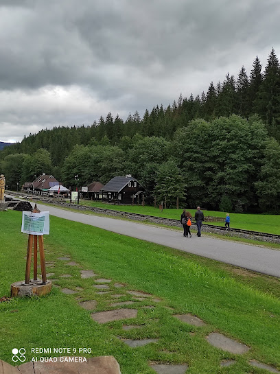
Čiernohronská railway
8.8 km
Explore the scenic beauty and rich history of Slovakia aboard the enchanting Čiernohronská Railway, a unique steam train experience.
Historic railway line - Šánské stop
12.3 km
Discover the Historic Šánske Railway Line, a charming journey through Slovakia's rich history and stunning landscapes in Čierny Balog.
NCH Jakuba Surovca
13.0 km
Explore the enchanting Jakuba Surovca Trail in Tisovec, Slovakia, and immerse yourself in breathtaking natural beauty and rich wildlife.
Tajch Hrončok
13.1 km
Explore the tranquility of Tajch Hrončok, a nature preserve in Hronec, Slovakia, perfect for relaxation and outdoor adventures.
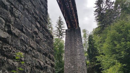
Čertov viadukt
13.4 km
Explore Čertov Viadukt, a breathtaking historical landmark in Tisovec, Slovakia, offering stunning views and rich cultural heritage.
Surovcova rozhľadňa
13.4 km
Explore the breathtaking views from Surovcova rozhľadňa in Tisovec, a must-visit lookout tower in Slovakia's stunning landscape.
Rozhľadňa Zbojska
13.5 km
Explore the stunning vistas of Rozhľadňa Zbojska, a serene lookout tower in Tisovec, where nature and breathtaking views await you.
Čertova dolina
13.6 km
Explore the breathtaking beauty of Čertova Dolina, Slovakia's enchanting nature preserve, ideal for hiking, relaxation, and wildlife observation.
Rozhledna
13.9 km
Experience breathtaking views and serene nature at Rozhledna, Tisovec's enchanting lookout tower, perfect for every tourist's adventure.
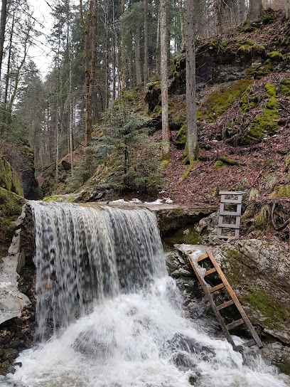
Ľadopád Furmanec
14.2 km
Explore the serene beauty of Ľadopád Furmanec, a hidden waterfall gem in Slovakia, perfect for nature lovers and peaceful retreats.
Technical monument - steel bridge on the forest railway
14.3 km
Explore the Technical Monument - Steel Bridge in Čierny Balog, where history meets breathtaking natural vistas, perfect for every traveler.
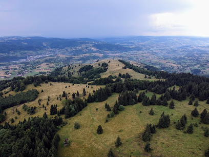
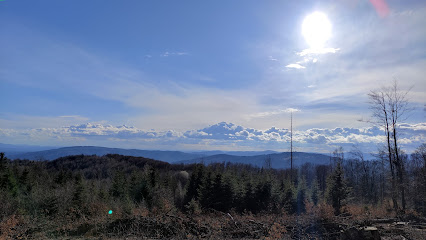
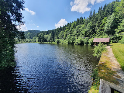
Poľana Protected Landscape Area
14.6 km
Experience the untouched beauty of nature at Poľana Protected Landscape Area in Slovakia, a haven for hikers and wildlife enthusiasts.
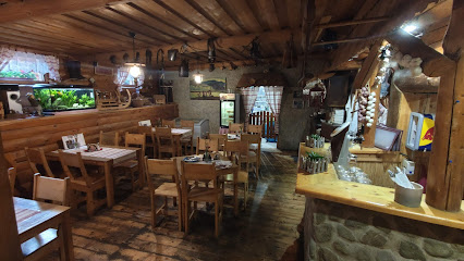
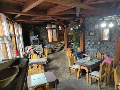
Essential places to dine
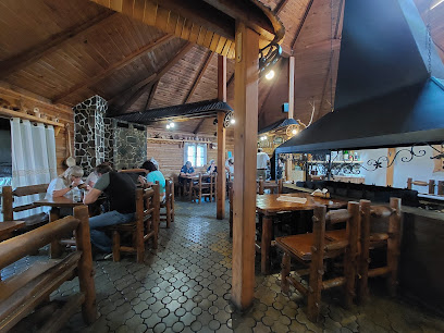
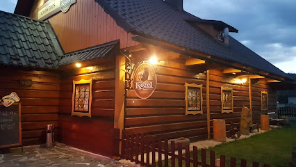
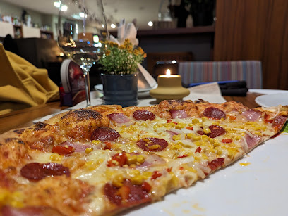
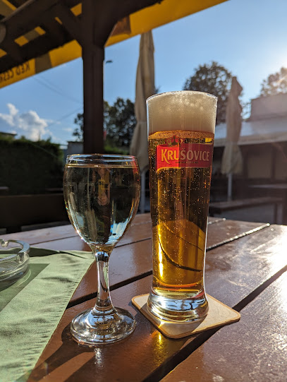
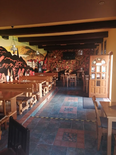
Reštaurácia LAMPÁREŇ
8.7 km
Experience authentic Slovak cuisine at Reštaurácia LAMPÁREŇ in Čierny Balog – where tradition meets taste in every dish.
Kokava Línia
9.1 km
Experience authentic Slovak cuisine at Kokava Línia in Málinec – a must-visit restaurant for every traveler seeking local flavors.
Gazdovsky Dvor- Sedlo Chlipavica
9.4 km
Experience authentic Slovak cuisine amidst the scenic beauty of Pohronská Polhora at Gazdovsky Dvor - Sedlo Chlipavica.
Salaš Zbojská - Zbojnícky dvor
13.9 km
Discover traditional Slovak flavors at Salaš Zbojská - a perfect blend of rustic charm and modern culinary delights in Slovakia.

Bistro 21, Hlobišov
14.6 km
Experience authentic Slovak cuisine at Bistro 21 in Hlobišov – where delicious food meets warm hospitality.
REŠTAURÁCIA AlVi
15.0 km
Discover AlVi Restaurant in Brezno: A delightful family-friendly eatery offering delicious meals in a cozy atmosphere.
Kokavská izba
15.2 km
Savor authentic Slovak cuisine at Kokavská izba, a cozy restaurant in Kokava nad Rimavicou known for its delightful local dishes.

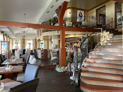
Reštaurácia Elf
15.4 km
Experience the essence of Slovak cuisine at Reštaurácia Elf, where tradition meets modern dining in Brezno.
Koliba Pod Orechom
15.4 km
Experience authentic Slovak cuisine in the heart of Brezno at Koliba Pod Orechom – where tradition meets taste.
Koliba Groš
16.4 km
Discover authentic Slovak cuisine at Koliba Groš in Hronec – where tradition meets taste in a cozy setting.
Motostop
16.5 km
Discover authentic Slovak cuisine at Motostop in Brezno-Zadné Halny—affordable dining with local flair.
Reštaurácia Salmo
16.5 km
Discover authentic Slovak cuisine at Reštaurácia Salmo in Brezno-Bujakovo—where every meal is a celebration of local flavors.
Reštaurácia Demko
16.7 km
Discover authentic Slovak flavors at Reštaurácia Demko in Klenovec – where tradition meets culinary excellence.
Penzion Anka
16.7 km
Discover comfort and culinary delights at Penzion Anka in Hriňová – your perfect getaway for relaxation and exploration.
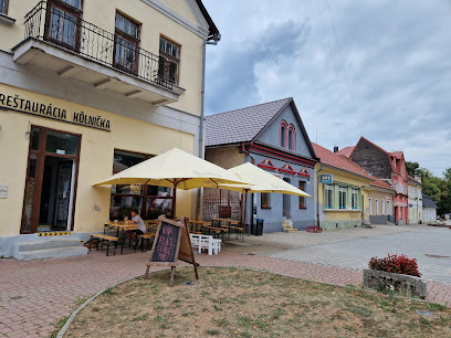
Restaurant Kôlnička
17.9 km
Experience authentic Slovak cuisine in Tisovec at Restaurant Kôlnička - where tradition meets taste.
Markets, malls and hidden boutiques
Prínos
0.0 km
Discover Prínos: Your gateway to a world of spices and culinary treasures, perfect for any kitchen enthusiast exploring Slovakia.

Hodinkovna.sk
0.0 km
Explore Hodinkovna.sk for an unparalleled selection of luxury watches and exquisite costume jewelry in the heart of Slovakia.

www.skove.sk
0.0 km
Explore the charm of Slovakia with unique handcrafted gifts and local artistry at Skove Gift Shop, a must-visit for travelers seeking authentic souvenirs.
MAKY.STORE
0.0 km
Explore MAKY.STORE for unique local crafts and products that capture the essence of regional artistry and culture.
Happy Kakadu
0.0 km
Explore Happy Kakadu, your go-to gift shop for unique souvenirs and local crafts, capturing the essence of the region's vibrant culture.
Import-Export Slovakia s r. o.
0.0 km
Explore authentic Slovak products at Import-Export Slovakia, your go-to destination for local crafts and delicacies.
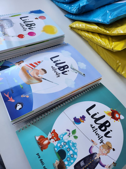
LilBi aktivity
0.0 km
Discover the magic of play at LilBi Aktivity, a vibrant toy store that ignites creativity and joy for children and families alike.
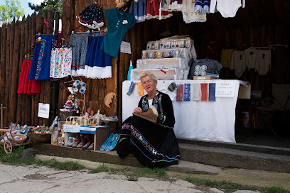
Slovakia Folk Shop
0.0 km
Explore the rich craftsmanship of Slovakia at the Folk Shop, your go-to destination for authentic Slovak souvenirs and cultural treasures.
AboutProducts
0.0 km
Explore a trendy youth clothing store offering the latest styles and a vibrant shopping experience in a lively atmosphere perfect for fashion enthusiasts.

MARGARETKA SHOP - Shop with gift items
0.0 km
Explore Margaretka Shop for authentic gifts that showcase local craftsmanship and capture the spirit of your travels.
Digicom, Ltd.
0.0 km
Explore a variety of local products and services at Digicom, Ltd. - your essential shopping stop for an unforgettable travel experience.
U Báčika
0.0 km
Discover U Báčika: Your go-to Internet shop and gift destination in Slovakia, blending modern connectivity with unique local treasures.
eskalepky
0.0 km
Discover authentic local products and unique souvenirs at Eskalepky, where regional culture comes to life in every item.
CEPRAS
0.0 km
Experience bespoke tailoring at CEPRAS, where fashion meets craftsmanship for a truly personalized garment.
Fotoalbumy BAKY
0.0 km
Explore Fotoalbumy BAKY, a delightful gift shop offering unique photo albums and personalized keepsakes to capture your travel memories.
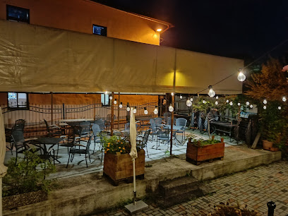
Essential bars & hidden hideouts
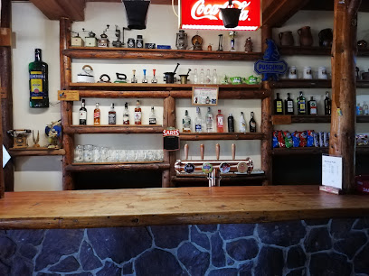
Piváreň Tisovčík
11.6 km
Discover Piváreň Tisovčík, a charming bar in Michalová, where you can enjoy authentic Slovak beers and a welcoming local atmosphere.
ŠPORT PUB
13.5 km
Discover the lively atmosphere and local flavors at ŠPORT PUB in Brezno-Mazorníkovo, a perfect place to unwind after your adventures.
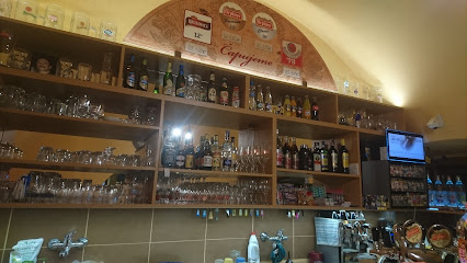
Konica Pub
13.7 km
Experience authentic Slovak hospitality at Konica Pub in Brezno-Mazorníkovo, featuring local beers and hearty cuisine.
Pub - Kráľová Taverna
15.1 km
Discover the essence of Slovakian pub culture at Kráľová Taverna, where delicious food meets warm hospitality in the heart of Brezno.
Eagle bar
15.4 km
Discover the vibrant atmosphere of Eagle Bar in Brezno, where local flavors and a friendly ambiance create the perfect spot to unwind.
Praženica pub
15.5 km
Discover the friendly atmosphere and local flavors at Praženica Pub in Brezno, where every visit is a taste of Slovak culture.
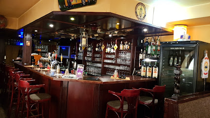
JAZZ & ROCK PUB
15.6 km
Experience the vibrant nightlife of Brezno at JAZZ & ROCK PUB, a haven for music lovers offering live performances and a welcoming atmosphere.
BAR ZLATÁ NYMFA
15.6 km
Discover the lively nightlife and welcoming atmosphere at Bar Zlatá Nymfa, a must-visit spot for tourists in Brezno.
Bombura klub
15.6 km
Discover the lively atmosphere and authentic Slovak hospitality at Bombura Klub, a must-visit pub in Brezno.
Bar
15.9 km
Experience the vibrant nightlife of Osrblie at this charming bar, offering a delightful selection of drinks and a cozy atmosphere.
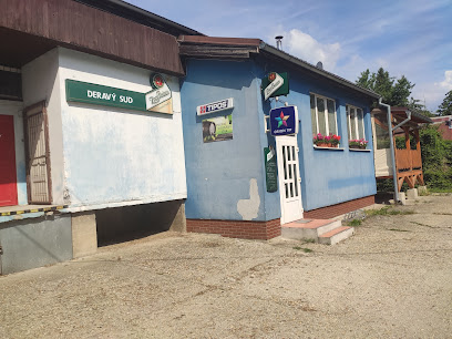
Deravý sud
17.8 km
Experience authentic Slovak hospitality at Deravý sud, a charming bar in Tisovec offering a delightful array of drinks and a cozy ambiance.
Hostinec Darijan
17.9 km
Discover the Heart of Tisovec at Hostinec Darijan – A Cozy Bar with Local Charm and Authentic Slovak Flavors.
Bálintová Leona - Pohostinstvo
18.0 km
Experience the local flavor at Bálintová Leona, Tisovec's cozy bar, serving delightful beverages and snacks in a warm atmosphere.
Hradová
18.1 km
Discover the charm of Tisovec at Hradová Pub, where traditional Slovak culture meets delicious food and drink in a cozy atmosphere.
Pohostinstvo Pod hruškou
19.0 km
Discover the charm of Slovak hospitality at Pohostinstvo Pod hruškou, a cozy bar in Braväcovo offering local drinks and a warm atmosphere.