
Ostkustleden, Blekinge Travel Guide
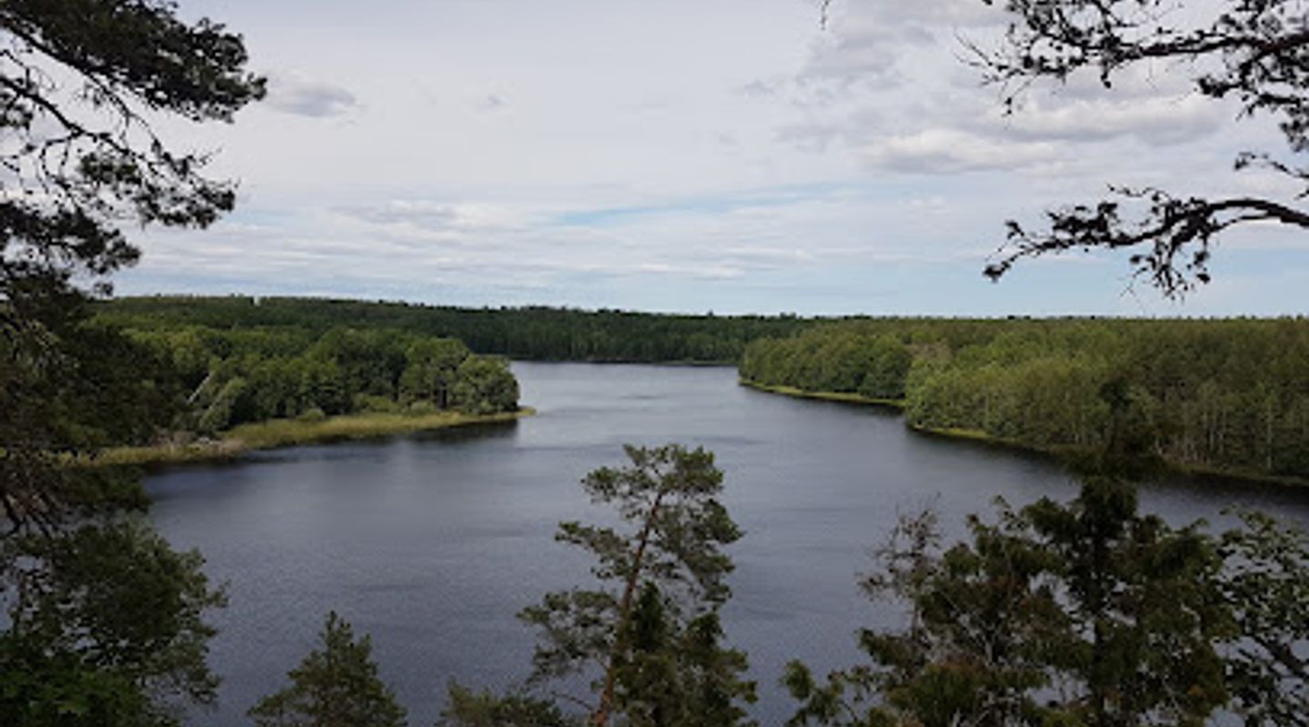
A rustic 159 km loop around Oskarshamn—rocky coastlines, pine forests, simple cabins and classic Swedish long-distance walking.
Ostkustleden is a roughly 159 km circular long-distance hiking trail around Oskarshamn in Småland, Sweden, established in 1977 and normally walked in eight stages. The route threads coastal cliffs, forested ridges, farmland and lakes, is waymarked with yellow paint, and offers simple overnight cabins and wild-swimming spots along the way, making it a classic multi-day nature trek on Sweden’s eastern coast.
A brief summary to Ostkustleden
- Oskarshamn, 572 91, SE
- Click to display
- Click to display
- Duration: 0.5 to 192 hours
- Free
-
 Outdoor
- Mobile reception: 3 out of 5

Know before you go
Hi, I'm Eve. Here are a few practical things to know before exploring Ostkustleden.
- Plan stages around the trail’s eight common sections and reserve cabin spots where possible; pack a stove and water-treatment method as some cabins lack piped water.
- Carry layered, waterproof clothing for fickle coastal weather and sturdy boots for rocky shoreline sections and forest roots.
- Bring swimwear and a lightweight towel—many lakes and bays along the route are ideal for a cooling dip on warm days.
- Respect simple cabin etiquette: leave the stove fuelled if used, take rubbish with you, and avoid lighting large fires except in designated spots.
Do you manage this location?
Take control to get all the benefits, like improved information, better appearance, and stronger visibility across AI-powered discovery. Learn more about listing your business on Evendo
Activate your presenceOther nearby places you may find interesting
The closest places of the same kind, if this one is not quite what you had in mind.
Explore Ostkustleden on the Map
A handpicked selection of must-see spots near Ostkustleden, mapped for you.
Getting There
-
Public bus and local transfer
Regional bus services connect Oskarshamn with nearby towns; from Oskarshamn central bus station the common trail start at Lilla Hycklinge is typically a short regional bus or local taxi ride of around 10–20 minutes, depending on timetable frequency. Expect limited services on Sundays and early mornings; single-ride fares in the region are generally in the range of 30–90 SEK per person depending on distance.
-
Private car
Driving gives direct access to several trailheads and parking areas at stage endpoints; typical drive times from Oskarshamn centre to nearby start points are 10–25 minutes. Note that parking at small trailhead lots is basic and may be limited in peak season; there is usually no charge but bring a map or GPS as signing is minimal.
-
Taxi or rideshare
A taxi from central Oskarshamn to trail access points commonly takes 10–20 minutes with fares roughly 200–450 SEK depending on distance and time of day; service is practical for staggered start/finish points but can be costly for solo travellers.
For the on-the-go comforts that matter to you
-
 Seating Areas
-
 Picnic Areas
-
 Information Boards
Discover more about Ostkustleden
Origins and route character
Ostkustleden was established in the late 1970s as a mapped, waymarked loop through the forests and shores around Oskarshamn in Småland, intended to showcase the coastal landscape of Sweden’s eastern seaboard. The full circuit measures around 159 kilometres and is traditionally divided into eight day-long sections that begin and finish near small villages and cabin sites. Walking the route takes you from deep pine and mixed woodland onto rocky ridgelines that look out over skerries and bays, and back through cultivated farmland and quiet lake shores.Trail infrastructure and overnight options
The trail is marked with yellow paint on trees and posts and is supported by a string of simple overnight cabins and low-key accommodation at stage endpoints; these cabins typically provide a wood stove, basic cooking facilities and dry toilets. Water availability varies by site: some cabins have wells while others require you to treat or boil lake or stream water. The modest infrastructure keeps the experience rustic rather than serviced, so hikers plan for self-sufficiency with food, shelter basics and layered clothing.Landscape highlights and on-trail experiences
Sections alternate between intimate forest tracks, open agricultural stretches beside sleepy villages, and more exposed coastal walking where cliffs and rocky promontories give panoramic sea views. Many stages cross small lakes and passes that invite short detours for a dip; several rivers and fishing stretches appear along the route’s mid-sections, where anglers sometimes pause with a rod. Vegetation shifts from coastal heaths and shore grasses to tall boreal pines inland, creating varied bird and plantlife along different stages.Seasonality and practical feel
The trail is accessible in most seasons but feels most comfortable from late spring through early autumn when footpaths dry and cabins are easiest to use; winter hikes are possible but bring short daylight, snow and frozen ground. Weather on the eastern coast can change swiftly: calm, sunlit mornings may yield to blustery coastal afternoons. The trail’s low technical difficulty suits hikers with basic navigation and multi-day packing skills rather than mountaineering equipment.Local connections and cultural notes
The route threads rural communities and passes near sites of local interest—small fishing hamlets, farmsteads and the occasional historical landmark—giving a sense of Småland’s coastal culture. Oskarshamn itself acts as the most convenient service hub for supplies and accommodation before and after the loop. The trail also links to shorter local paths and swimming spots, meaning day walks or relaxed multi-day itineraries are easy to compose from the main stages.What to expect on the ground
Expect predominantly narrow footpaths, occasional rocky scrambles on exposed headlands, and forest tracks. Signage is practical rather than decorative: yellow markers and modest orientation boards at major junctions. Visitors should be prepared for simple facilities, intermittent mobile reception, and for carrying water or treating natural sources. The overall tone is quietly wild rather than manicured—an invitation to slow walking and close attention to seasonal light, sea breezes and the small details of the shoreline and forest ecosystem.












Your all‑in‑one travel companion app
Explore expert travel guides, compare and book tours, experiences, hotels, and more—all from the palm of your hand. Download now for seamless trip planning wherever your wanderlust takes you.


Explore More of Blekinge
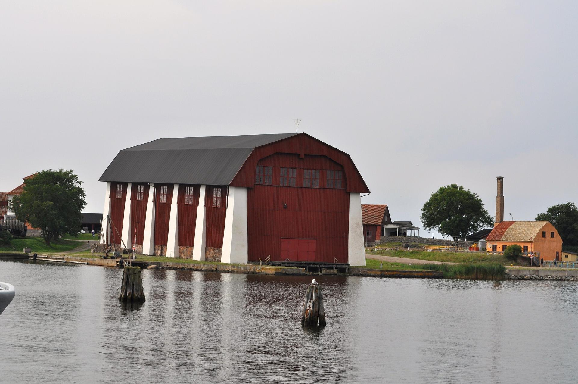
Looking beyond Ostkustleden? Discover Blekinge for broader travel guides, local hot-spots, and regional highlights.
Explore Blekinge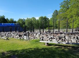
A compact Iron Age village reconstruction on Öland where archaeology, turf-roofed houses and hands-on demonstrations bring early rural life to the present.
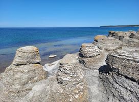
Öland's iconic rauk wonderland: 120 wave-sculpted limestone towers rising from ancient fossil-rich shores, a free nature reserve revealing 490 million years of geological drama.
