Dyröleden Travel Guide
Free Guide: Hike Dyröleden's rocky loops on car-free Stora Dyrön: cliffs, mouflon sheep, ravines, ancient sites, and Bohuslän sea panoramas await the fit explorer.


A brief summary of Dyröleden
Hike Dyröleden's rocky loops on car-free Stora Dyrön: cliffs, mouflon sheep, ravines, ancient sites, and Bohuslän sea panoramas await the fit explorer.
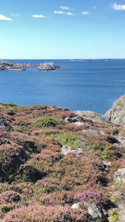
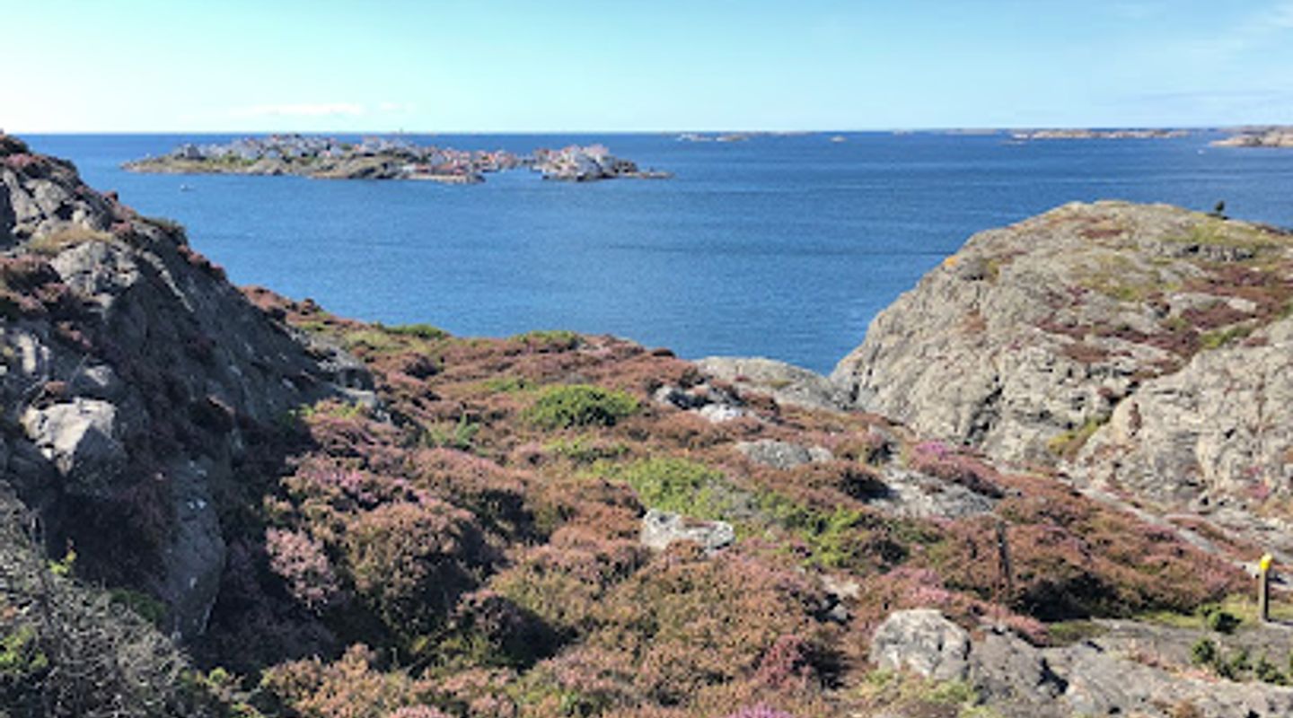
Dyröleden is a captivating 5-7 km circular hiking trail encircling the car-free island of Stora Dyrön in Sweden's Bohuslän archipelago. This moderately challenging path winds through hilly, rocky terrain with boardwalks, steep sections, and ladders, offering stunning coastal views of Marstrandsfjorden, neighboring islands like Åstol, and dramatic cliffs. Highlights include Dynes Ravin—a narrow ravine with a wooden deck for picnics—viewpoints at Grinneberget and Åsen, ancient Stone Age settlement remains, a Bronze Age cairn, and chances to spot wild mouflon sheep amid wildflowers and rare plants. Information boards along the trail share the island's history, while nearby swimming spots and a renowned seaside sauna enhance the experience. Rated hard due to slippery rocks when wet, it takes 1.5-3 hours, demanding sturdy shoes and fitness.
On-site amenities
 Drinking water
 Seating areas
 Picnic areas
 Trash bins
 Information boards
Opening hours
- Every dayOpen 24 hours
Opening hours as listed on the venue’s Google Business Profile. Hours can change for services and special events, so check with the venue before you go.
- Address
- Dyröleden, 471 43 Stora Dyrön
- Website
Getting there
Passenger Ferry
Passenger Ferry
Passenger Ferry
Driving + Ferry
Discover more about Dyröleden
Island Circuit of Dramatic Cliffs and Sea Vistas
Dyröleden traces a rugged loop around Stora Dyrön, a lush, fertile island in the Bohuslän archipelago contrasting its craggy neighbors. The trail, marked by half-meter posts topped in yellow and emergency markers for safety, starts at key points like the north harbor (Dyrön norra) or south harbor (Dyrön södra, or Hala). Spanning 5 km on the main path or up to 7 km with detours, it navigates steep hills, rocky outcrops, and wooden boardwalks equipped with rails and ladders for the toughest ascents.
Dynes Ravin and Prime Picnic Perches
One of the trail's most striking features is Dynes Ravin, a sheer cleft between towering cliff walls on the west side. Descend to a wooden deck with tables and benches, ideal for fika amid views of Åstol island. Nearby, Åsen viewpoint offers benches for weary hikers overlooking the sea, while Grinneberget on the east boasts a barbecue area atop what once held a wartime air defense cannon, now a windsheltered spot with panoramic sweeps.
Wildlife Encounters and Botanical Riches
Roam freely among wild mouflon sheep grazing in forest patches and steep rocky zones—descendants of introduced herds thriving in this habitat. The terrain bursts with wildflowers, including rare species, especially in summer when pink blooms carpet the rocky coast. Keep eyes peeled for these elusive animals, adding an element of thrill to the hike.
Ancient Echoes in Stone and Soil
On the west flank, explore remnants of a Stone Age village in a high valley flanked by bare rock faces, dating back over 3,000 years. Nearby stands a Bronze Age cairn, testament to early human draw to this coastal haven. Information boards punctuate the path, detailing these sites and the island's fishing-farming heritage, from prehistoric settlers to modern carrier mopeds puttering along lanes.
Coastal Immersion and Archipelago Allure
Breathtaking vistas dominate: Marstrandsfjorden unfurls toward the fortress, with sights to Tjörn, Åstol, and distant Klädesholmen. The south harbor's sandy beach at Hala features a jetty, 3m diving platform, and cliffs for adventurous swims. A blue path variant crosses the island's top, 3 km between harbors, easing shorter outings. Year-round accessible, the trail embodies Bohuslän's raw beauty—salt spray, granite cliffs in pink hues, and endless sea horizons.
Evendo Review Centre
 Google
Guest reviews
Best time to go
Quietest: Jan, Feb & Dec · before 8am or from 9pm
Busy times are Evendo estimates for a typical year, to help you plan. Actual crowds vary with events, school holidays and the weather.
Explore Dyröleden on the map
A handpicked selection of must-see spots near Dyröleden, mapped for you.
Get your free copy of our complete guide to Dyröleden, delivered straight to you.
Everything on this page, from opening hours and how to get there to Eve’s tips and the best time to go, in one PDF you can read offline, print or share.
Already have an account? Sign in
Your Dyröleden guide is ready.
We'll send it to · Not you? Sign out

Getting your guide ready…
We are putting together a fresh copy of the Dyröleden guide. This can take up to a minute.
This can take a few moments. If your browser asks, choose Allow so the download can start. You'll find the guide in your Downloads folder.
Nothing happened? Download it again
Sorry, the guide is taking longer than usual. Please try again in a minute, or get it by email instead.
Other nearby places you may find interesting
The closest places of the same kind, if this one is not quite what you had in mind.
-
-
-
-
-


Swipe for more places
More to explore near Dyröleden

 Best experiences near Dyröleden
 Best hotels near Dyröleden
 Best landmarks near Dyröleden
 Best attractions near Dyröleden
 Best shops near Dyröleden
 Best restaurants near Dyröleden
 Best bars near Dyröleden
Do you manage this location?
Take control to get all the benefits, like improved information, better appearance, and stronger visibility across AI-powered discovery.
Explore more
Explore more of Bohuslän
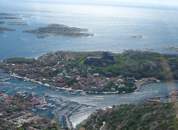
Explore Bohuslän, Sweden's stunning coastal region known for its picturesque islands, rich history, and delectable seafood. A paradise for nature lovers and history enthusiasts.
Explore Bohuslän
Explore more of Sweden
Discover Sweden's breathtaking landscapes, vibrant cities, and rich cultural heritage. From the Northern Lights to historic castles, experience the essence of Scandinavia.
Explore Sweden