Tjörn Bridge Travel Guide
Free Guide: A sleek cable-stayed landmark on Sweden’s west coast—bold engineering framed by sea, sky and the Bohuslän islands.


A brief summary of Tjörn Bridge
A sleek cable-stayed landmark on Sweden’s west coast—bold engineering framed by sea, sky and the Bohuslän islands.
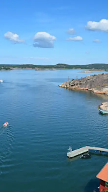
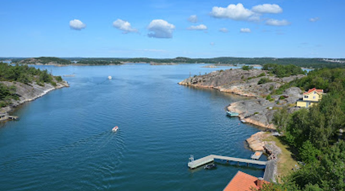
Tjörn Bridge (Tjörnbron) is a dramatic cable-stayed crossing on Sweden’s west coast that links the mainland near Stenungsund with Tjörn island. Completed in the early 1980s after the collapse of its predecessor, the bridge’s clean towers, sweeping cables and 45–46 m clearance create a memorable silhouette against sea and sky, making it a focal point for coastal views, shoreline walks and photography.
On-site amenities
 Seating areas
 Information boards
 Trash bins
Opening hours
- Every dayOpen 24 hours
Opening hours as listed on the venue’s Google Business Profile. Hours can change for services and special events, so check with the venue before you go.
- Address
- Länsväg 160, 471 61 Stenungsund
- Website
Getting there
Car
Bus + Walk
Cycle
Discover more about Tjörn Bridge
Engineering born from crisis
The Tjörn Bridge was conceived as a swift, robust replacement after a tragic accident destroyed the previous span in 1980; the present cable-stayed structure opened in the early 1980s and was designed for clear navigation, safety and durability. Its single-deck roadway is carried by a network of radiating cables anchored to slim reinforced towers, producing a semi-fan profile that reads as both efficient engineering and restrained coastal sculpture.
Scale, shape and technical notes
At roughly six to seven hundred metres in overall length with a central navigational span and about 45 metres of vertical clearance over the shipping channel, the bridge balances functional demands with an elegant silhouette. From close up you’ll notice the tensioned cables forming rhythmic lines, the tapered pylons and the way the concrete deck sits lightly above the water; from further out the whole assembly reads as a clean, contemporary landmark against the Bohuslän archipelago.
Light, weather and the coastal setting
The bridge’s appearance changes dramatically with the weather. On bright days the pale concrete and steel cables catch sunlight and throw crisp shadows; in low light or fog the pylons can appear as solitary markers rising from the sea. Wind, tide and the shifting patterns of cloud are audible and visible here—the slap of waves on rocks, gull calls and the distant hum of traffic combine to make the crossing feel like an inhabited seam between inland and island.
Visitor experience and viewpoints
There are several vantage points for appreciating the structure: shoreline platforms and minor lay-bys expose near views of the deck and cable geometry, while slightly raised headlands and coastal paths let you frame the bridge with skerries and open water. Walkers and cyclists commonly use the crossing to move between mainland and island, enjoying the long horizontal perspective and frequent photo opportunities at sunrise and sunset when the bridge’s lines silhouette against warm skies.
Connections to local story and maritime life
Beyond its concrete and steel the bridge anchors a local narrative of resilience and maritime activity. Fishing boats, leisure craft and the occasional freighter pass beneath; the channel beneath remains a working stretch of water where captains and tugs negotiate tides and traffic. The bridge’s replacement history is woven into regional memory and has influenced subsequent design and navigational practice along this stretch of coast.
Practical character and seasonal rhythm
As a coastal crossing the bridge feels busiest in summer when recreational boating and tourism increase, while autumn and winter bring a more elemental, windswept character: low light, brisk air and the satisfying clarity of coastal panoramas. The structure is utilitarian in use but generous in atmosphere—simple materials and bold spans combine to create a place that is as much a viewpoint and landmark as a piece of transport infrastructure.
Evendo Review Centre
 Google
Guest reviews
Best time to go
Quietest: Jan, Feb & Dec · before 6am or from 11pm
Busy times are Evendo estimates for a typical year, to help you plan. Actual crowds vary with events, school holidays and the weather.
Explore Tjörn Bridge on the map
A handpicked selection of must-see spots near Tjörn Bridge, mapped for you.
Get your free copy of our complete guide to Tjörn Bridge, delivered straight to you.
Everything on this page, from opening hours and how to get there to Eve’s tips and the best time to go, in one PDF you can read offline, print or share.
Already have an account? Sign in
Your Tjörn Bridge guide is ready.
We'll send it to · Not you? Sign out

Getting your guide ready…
We are putting together a fresh copy of the Tjörn Bridge guide. This can take up to a minute.
This can take a few moments. If your browser asks, choose Allow so the download can start. You'll find the guide in your Downloads folder.
Nothing happened? Download it again
Sorry, the guide is taking longer than usual. Please try again in a minute, or get it by email instead.
Other nearby places you may find interesting
The closest places of the same kind, if this one is not quite what you had in mind.
-
-
-
-
-


Swipe for more places
More to explore near Tjörn Bridge

 Best experiences near Tjörn Bridge
 Best hotels near Tjörn Bridge
 Best landmarks near Tjörn Bridge
 Best attractions near Tjörn Bridge
 Best shops near Tjörn Bridge
 Best restaurants near Tjörn Bridge
 Best bars near Tjörn Bridge
Do you manage this location?
Take control to get all the benefits, like improved information, better appearance, and stronger visibility across AI-powered discovery.
Explore more
Explore more of Bohuslän
Explore Bohuslän, Sweden's stunning coastal region known for its picturesque islands, rich history, and delectable seafood. A paradise for nature lovers and history enthusiasts.
Explore Bohuslän
Explore more of Sweden
Discover Sweden's breathtaking landscapes, vibrant cities, and rich cultural heritage. From the Northern Lights to historic castles, experience the essence of Scandinavia.
Explore Sweden