Getberget, Medelpad Travel Guide
A compact wooded peak above Ljungaverk with a community ski slope, summit hut and clear seasonal views across Medelpad.
Getberget is a forested hill rising above Ljungaverk in Ånge municipality, known for a compact alpine skiing area, a wooden summit cabin and sweeping north–south views across Medelpad’s patchwork of lakes and woodland. The peak and its trails suit short hikes, winter skiing and quick viewpoint stops for photographers and nature lovers seeking a tranquil, local high point.
A brief summary to Getberget
- Ljungaverk, SE
- Duration: 0.5 to 3 hours
- Free
-
 Outdoor
- Mobile reception: 3 out of 5

Know before you go
Hi, I'm Eve. Here are a few practical things to know before exploring Getberget.
- Wear sturdy footwear—paths include forest track, roots and exposed rock that become slippery after rain or thaw.
- If visiting in winter, bring winter boots or snowshoes; the ski slope is active but the upper trails are ungroomed.
- Bring water and a snack; facilities at the summit are basic and nearby services are limited.
Do you manage this location?
Take control to get all the benefits, like improved information, better appearance, and stronger visibility across AI-powered discovery. Learn more about listing your business on Evendo
Activate your presenceOther nearby places you may find interesting
The closest places of the same kind, if this one is not quite what you had in mind.
Explore Getberget on the Map
A handpicked selection of must-see spots near Getberget, mapped for you.
Getting There
-
By car
Drive from Ljungaverk or Fränsta by regional roads to the signed turnoff for Getberget; travel time typically 5–15 minutes from nearby village centres depending on start point. Parking at small clearings or near the ski facility is limited and may be icy in winter; no guaranteed paid parking. Fuel and services are found in larger nearby towns.
-
Public transport + walk
Use regional bus services that serve the Ljungaverk/Fränsta area, then expect a walk from the nearest stop of approximately 15–35 minutes over minor roads and forest trail; total time from a nearby town typically 30–70 minutes depending on connection times. Bus frequency is limited outside peak seasons and timetables vary, so check local schedules before planning.
-
On foot (local trail)
From Ljungaverk a marked trail starting near the village water tower leads to the summit hut; walking time is roughly 20–45 minutes depending on pace and conditions. The terrain is mixed forest track and steeper path sections—muddy in wet seasons and snow-covered in winter—so wear suitable footwear and allow extra time in poor weather.
For the on-the-go comforts that matter to you
-
 Seating Areas
-
 Information Boards
-
 Trash Bins
Discover more about Getberget
Geography and natural character of the ridge
Getberget stands as a modest yet prominent rocky rise directly north of the E14 corridor between Ljungaverk and Fränsta in Ånge municipality. The hill’s summit reaches roughly the mid-300 metres above sea level and is cloaked in mixed conifer and birch forest; granite and other magmatic outcrops punctuate the tree line and give the place its craggy, textured profile. In spring and autumn the slopes take on a patchwork of greens and russets, while winter brings a quiet, snow-softened hush that deepens the sense of remoteness despite the nearby road.Human use: ski slope, trails and shelter
A compact alpine slope and associated winter infrastructure sit on the hill’s southern faces, offering a fall height used for local skiing and sledding; a network of groomed and informal trails climbs to a simple summit hut that functions as a weathered focal point for short excursions. The walking routes vary from easy forest tracks to steeper beaten paths up to the top shelter; signage at the base and small parking clearings mark access points. In winter the lift and runs concentrate activity close to the ski facility, while the upper ridges remain quieter and best explored on foot or snowshoes.Views, photography and seasonal moods
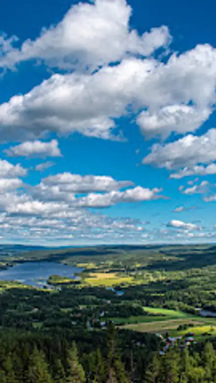
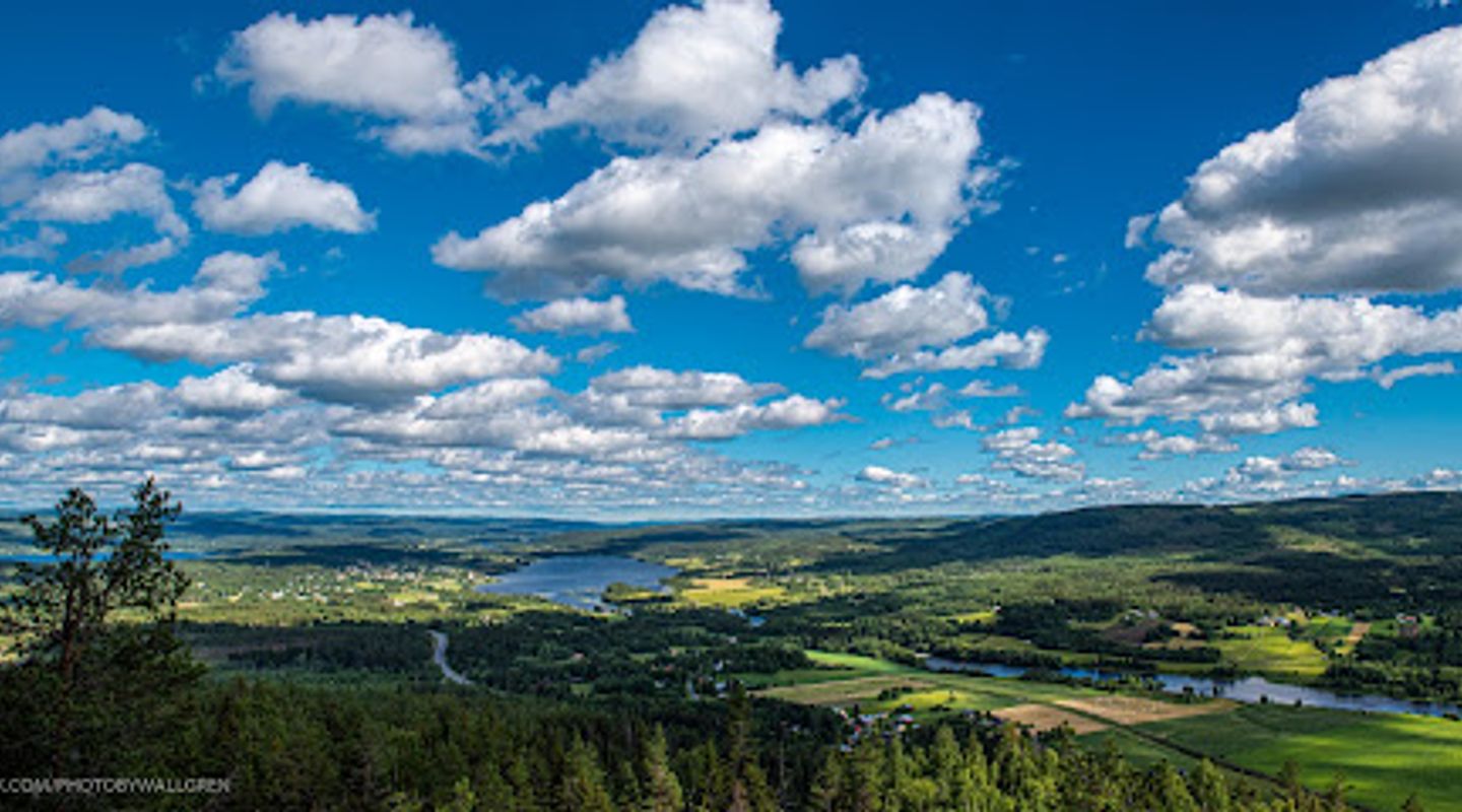
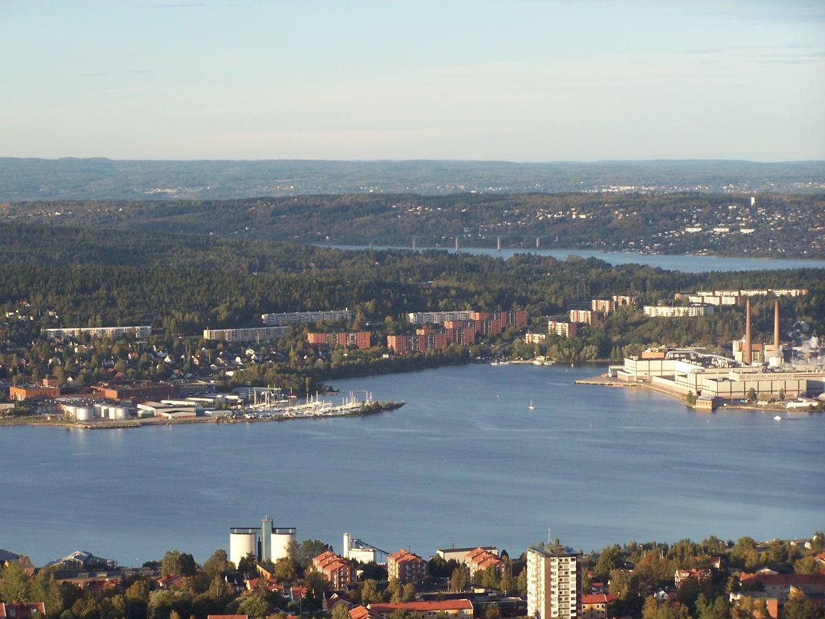
From the summit and exposed rock ledges the outlook opens to long, low horizons—lakes, farmed valleys and bands of distant forest that define Medelpad’s low mountain landscape. Morning light can catch frost on branches and emphasize texture in the rock, while late-afternoon sun warms the timbered slopes; in winter the valley often sits in a soft, cool glow under pale skies. The location’s relatively small footprint makes it well suited to brief viewpoint stops, photo walks and contemplative pauses rather than extended wilderness expeditions.Wildlife, vegetation and quiet encounters
The hill’s woodland supports typical northern Swedish species: grouse and small songbirds, hares and the furtive signs of larger mammals beyond the tree line. Understorey plants—lingonberry, bilberry and a scattering of ground moss—follow the rhythm of seasonal changes and provide delicate colour in summer and autumn. The site’s human scale and local management mean encounters are usually peaceful; the sounds you notice are wind in needles, bird calls and the distant hum of the E14 when conditions are calm.Practical character and what to expect on a visit
Expect a straightforward, local-scale outdoor experience: a short hike from the road or a quick stop if you’re passing on a regional route. The summit hut and ski facilities are simple and functional rather than commercial: they reflect community use, recreational skiing and occasional events rather than a large resort atmosphere. Terrain is mixed—packed earth, forest track and exposed rock—so footwear that handles mud and uneven ground is sensible year-round. The hill’s scale makes it particularly suitable for half-day visits, winter play or an easy nature escape from nearby villages.Cultural context and local significance
Getberget occupies a familiar place in the local landscape as a nearby high point used by residents for recreation and seasonal sport; the view from the top is often described in local sources as one of the region’s pleasing outlooks. Its proximity to small villages gives it a community character: weekend skiers, walkers and families make practical use of the slope and trails, and the summit hut acts as a small landmark and meeting place for those who know the area.












Your all‑in‑one travel companion app
Explore expert travel guides, compare and book tours, experiences, hotels, and more—all from the palm of your hand. Download now for seamless trip planning wherever your wanderlust takes you.


Explore More of Medelpad
Looking beyond Getberget? Discover Medelpad for broader travel guides, local hot-spots, and regional highlights.
Explore Medelpad