Glaskogens naturreservat, Norrbotten Travel Guide
Värmland’s vast wilderness of lakes and conifers — miles of trails, paddling routes and simple shelters centred on rustic Lenungshammar.
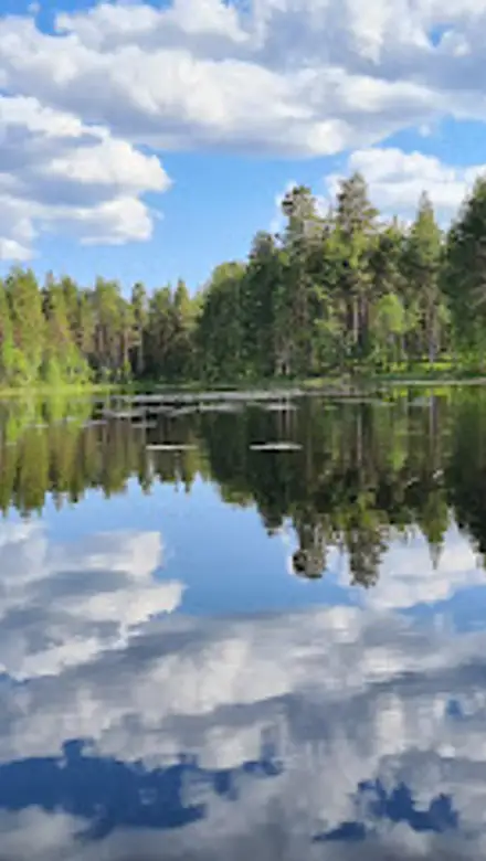
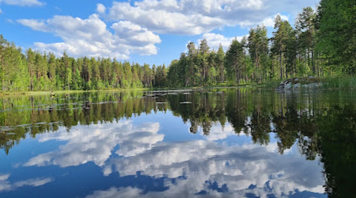
Glaskogens naturreservat is Värmland’s largest protected wilderness area, a patchwork of rugged hills, dark conifer forest and hundreds of lakes centred on the tiny village of Lenungshammar. Established in 1970, the reserve offers a vast network of hiking and paddling routes, simple wind shelters and traditional camping, plus an information centre, canoe and boat rentals and a rustic café—all framed by primeval forest, exposed rock and wide, reflective water.
A brief summary to Glaskogens naturreservat
- Lenungshammar bygdegården 1, Glava, 671 97, SE
- Click to display
- Click to display
- Duration: 0.5 to 72 hours
- Budget
-
 Outdoor
- Mobile reception: 3 out of 5

Know before you go
Hi, I'm Eve. Here are a few practical things to know before exploring Glaskogens naturreservat.
- Buy the Glaskogen conservation card at the information centre in Lenungshammar to support upkeep and to obtain maps, fishing permits and local advice.
- Plan multi‑day routes around the placement of wind shelters and fireplaces; bring a reliable map and expect rocky, uneven trail surfaces.
- If canoeing, allow extra time for short portages between lakes and check wind and weather — exposed lake crossings can be choppy.
- Respect the low‑impact ethos: use designated fireplaces, take all litter home, and avoid disturbing nesting birds during spring and early summer.
Do you manage this location?
Take control to get all the benefits, like improved information, better appearance, and stronger visibility across AI-powered discovery. Learn more about listing your business on Evendo
Activate your presenceOther nearby places you may find interesting
The closest places of the same kind, if this one is not quite what you had in mind.
Explore Glaskogens naturreservat on the Map
A handpicked selection of must-see spots near Glaskogens naturreservat, mapped for you.
Getting There
-
By car
Private car is the most flexible option from the surrounding region; expect a drive time of approximately 40–80 minutes from larger nearby towns depending on start point and road speed limits, with narrow gravel approaches near Lenungshammar and limited official parking at the information centre and campsite (seasonal peak may fill spaces). Fuel and small supplies are available in nearby villages; there is no paid toll but some forest roads are unpaved and require cautious driving.
-
Regional bus + local transfer
Take a regional bus to the nearest small town in the Arvika/Glava area (typical bus journeys within the county are 30–90 minutes from larger towns); from there allow an additional local taxi or organised transfer of about 20–40 minutes to Lenungshammar. Bus frequency can be limited on weekends and evenings; taxi fares for the final leg generally range from approximately 200–600 SEK depending on distance and time of day.
-
Cycle or gravel‑road bike
For active travellers based in the local area, cycling on rural and forest gravel roads is feasible; typical approach rides from nearby villages are 1–3 hours depending on fitness and route, with variable terrain and some steep, rocky sections. Bring puncture‑resistant tyres and enough food and water, as services are sparse en route.
For the on-the-go comforts that matter to you
-
 Restrooms
-
 Drinking Water
-
 Food Options
-
 Seating Areas
-
 Picnic Areas
-
 Information Boards
-
 Visitor Center
Discover more about Glaskogens naturreservat
Wild heart of Värmland
Glaskogens naturreservat occupies an extensive, hilly landscape of conifer forest, rocky outcrops and dozens of interlinked lakes; it was set aside to preserve a large area of wilderness character and recreational value and today covers roughly tens of thousands of hectares. The terrain alternates between granite ridges and shallow valleys, and the most open views arrive where rock shelves fall into long, dark lakes such as Stora Gla and Övre Gla. That mix of water and forest creates the sense of being deep in a northern wilderness even though the reserve spreads across several municipalities.Plants, birds and quiet wildlife encounters
Glaskogen sits where northern and southern plant zones meet, producing unexpectedly varied vegetation: stunted willow and dwarf birch brush mingle with hazel groves and small lime-meadows in sheltered hollows. Birdlife is typical of middle‑Swedish conifer forest and lakeshore: listen for three‑toed woodpeckers, warblers and the haunting calls of loons across the water. Larger species — including moose and raptors such as buzzards and ospreys — use the mosaic of lake and forest, so sightings are possible, especially in early morning and at dusk.Trails, paddling routes and simple shelters
The reserve is threaded with just under 300 km of marked hiking trails and about 150 km of mapped paddling routes, ranging from short nature circuits to multi‑day itineraries. Canoeists commonly portage between lakes along short forest tracks; paddling here feels intimate, with sheltered bays and rocky promontories to explore. Scattered along the routes are numerous basic wind shelters and maintained fireplaces that offer dry sleeping platforms and communal firepits — simple, functional refuges that reinforce the area’s wild, low‑impact ethos.Lenungshammar: the reserve’s service hub
At the heart of Glaskogen is the small settlement of Lenungshammar, where the information centre, a reception for the wilderness campsite and a timber café provide local services. Here you can pick up maps, buy a conservation card or fishing permit valid across many lakes, rent canoes and kayaks, and find small supplies and advice. The built environment is modest and timbered, designed to blend with the forested setting rather than dominate it.Local history and landscape memory
Human traces in Glaskogen stretch back centuries: stone‑age sites, old settler clearings and the legacy of Finnish slash‑and‑burn agriculture that shaped parts of the landscape are all present. Later, timber extraction and small industrial enterprises made use of the lakes for transport. These layers of activity are subtle — a scatter of old foundations, field edges and managed meadows — but they give the forest a lived‑in feeling and connect modern visitors with past ways of living off the land.Visitor experience and practical character
The reserve’s character is deliberately minimal: services concentrate at Lenungshammar while most of the area remains a working forest interlaced with protected pockets. Trails vary in difficulty but are generally rooted, rocky and sometimes steep; paddling routes reward patience with quiet bays and early‑morning mist. Facilities such as simple toilets, information boards, fireplaces and a network of shelters support low‑impact camping and self‑reliant multi‑day trips, making Glaskogen an appealing destination for hikers, paddlers and anyone who wants an extended, nature‑first experience.More to explore near Glaskogens naturreservat













Your all‑in‑one travel companion app
Explore expert travel guides, compare and book tours, experiences, hotels, and more—all from the palm of your hand. Download now for seamless trip planning wherever your wanderlust takes you.


Explore More of Norrbotten

Looking beyond Glaskogens naturreservat? Discover Norrbotten for broader travel guides, local hot-spots, and regional highlights.
Explore Norrbotten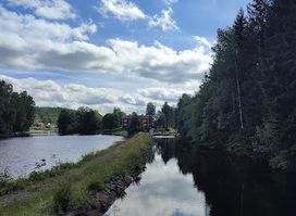
Classic passenger-boat cruises through the historic locks and aqueduct of Dalsland — scenic, narrated and family-run.
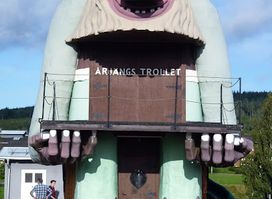
Meet Sweden's mightiest troll: 8m tall, slide-equipped, and folklore-famous in Årjäng's Trolltorget—a free giant guarding Värmland's whimsical heart.