Djurmoklack, Norrland Travel Guide
A compact rocky ridge with sweeping valley views, nesting raptors and trunks of veteran forest—classic Dalarna upland scenery in a short, rewarding hike.
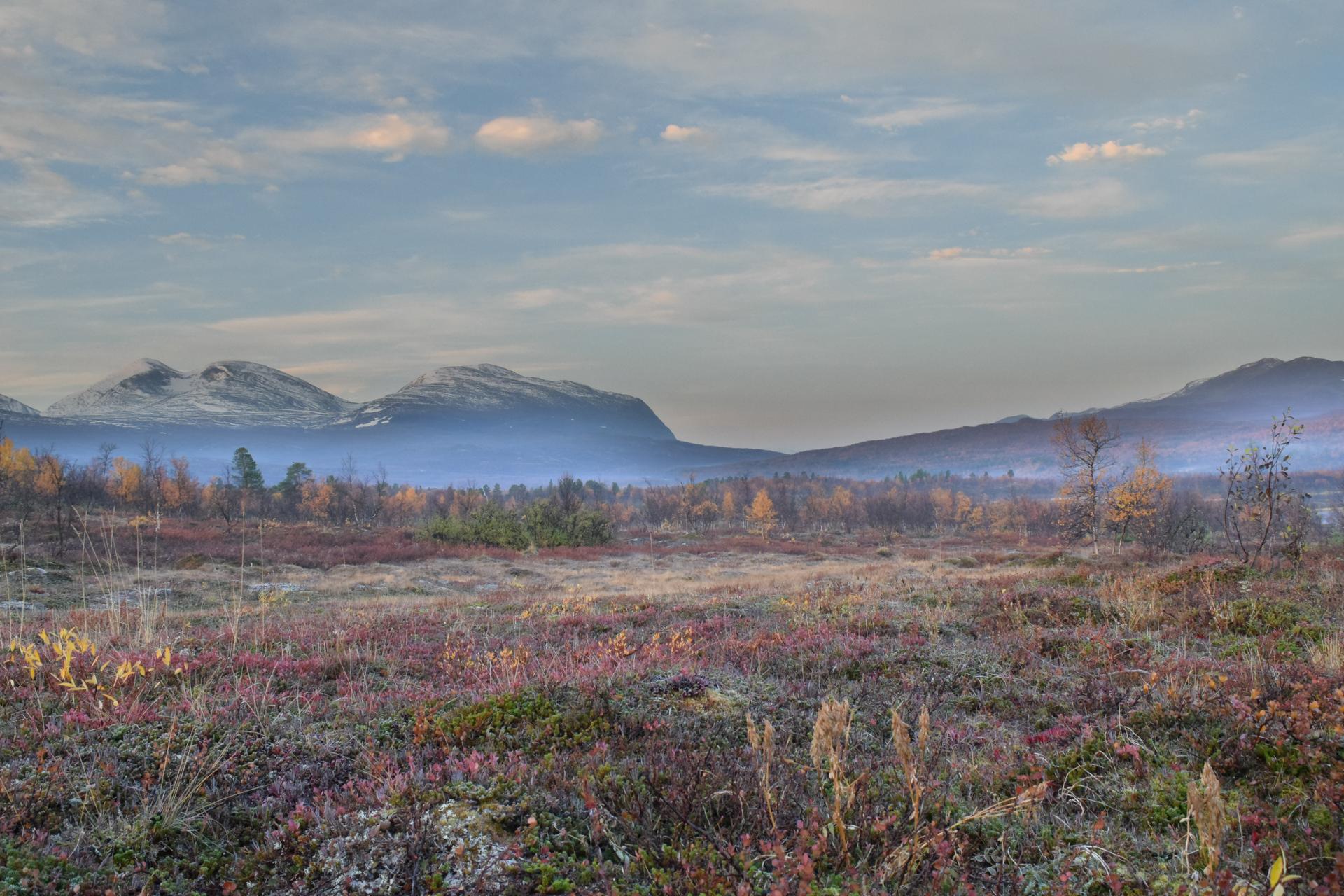
Djurmo klack is a compact nature reserve crowned by a rocky hill rising above the valley near Djurmo in Gagnef municipality, Dalarna. The reserve combines panoramic viewpoints, exposed cliffs with nesting raptors, old-growth patches rich in dead wood, and a network of trails and short boardwalks that lead to a shelter, fire pit and interpretation panels—making it a classic short hike for nature lovers and photographers.
A brief summary to Djurmoklack
- Djurmo, 785 62, SE
- Duration: 0.5 to 3 hours
- Free
-
 Outdoor
- Mobile reception: 3 out of 5

Know before you go
Hi, I'm Eve. Here are a few practical things to know before exploring Djurmoklack.
- Wear sturdy footwear—the final approach is stony and can be slippery after rain.
- Respect seasonal cliff closures in spring and early summer to avoid disturbing nesting raptors.
- Bring a camera for panorama shots at golden hour; benches and an orientation plate mark the best viewpoint.
Do you manage this location?
Take control to get all the benefits, like improved information, better appearance, and stronger visibility across AI-powered discovery. Learn more about listing your business on Evendo
Activate your presenceOther nearby places you may find interesting
The closest places of the same kind, if this one is not quite what you had in mind.
Explore Djurmoklack on the Map
A handpicked selection of must-see spots near Djurmoklack, mapped for you.
Getting There
-
By car from Djurås area
Drive by car along local municipal roads toward the Djurmo/Djurås area; expect a journey time of approximately 10–20 minutes from central Djurås depending on start point and local road speeds. The final approach is along a gravel forest road that ends at a small parking clearing; the road can be narrow and may be muddy in wet seasons. Parking is informal and limited; no paid parking is required.
-
Public transport + walk
Use regional bus services to a nearby larger village (Djurås or Sifferbo) then walk or arrange a short taxi for the remaining approach; bus travel from central towns typically takes 20–40 minutes depending on departure. The walking approach from the nearest settlement involves rural lanes and forest tracks and takes at least 30–75 minutes depending on route; sections may be uneven and wet in places.
-
Longer hike from neighbouring trails
Follow marked hiking routes that link Oxberget and nearby fäbodleds for a multi-kilometre trek; typical through-hike segments to Djurmo klack take 2–5 hours depending on start and pace. Trails pass mixed terrain including boggy stretches and climbs; waterproof footwear and daylight planning are recommended.
For the on-the-go comforts that matter to you
-
 Seating Areas
-
 Sheltered Areas
-
 Picnic Areas
-
 Information Boards
Discover more about Djurmoklack
A rocky crown over the valley
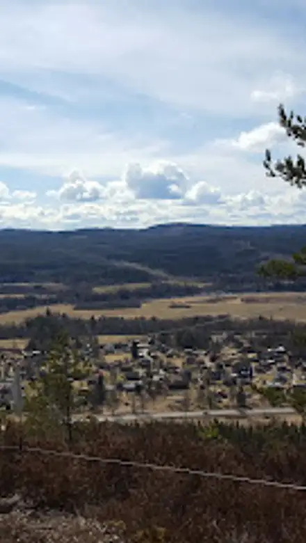
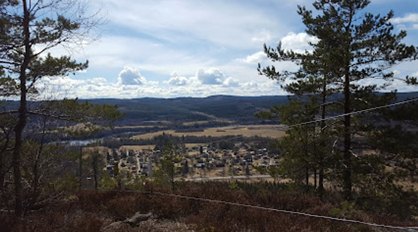
Djurmo klack sits as a distinct rocky upland that rises above the surrounding riverland; its summit reaches roughly 350–358 metres above sea level and provides a sweeping vantage over villages, forested ridges and the river corridor below. The cliffed south-facing escarpments and exposed outcrops are the reserve’s visual centre, offering clear sightlines across the patchwork of fields and coniferous woodland that make up this part of Dalarna.Woodland, dead wood and specialist species
Beneath the sheer rock and on the plateau, a mix of pine, spruce and birch carries an unusually high amount of standing and fallen dead wood, an important habitat for species that rely on decaying timber. Birdlife includes raptors that favour the cliffs for nesting; in spring and early summer certain parts of the cliffs are closed to visitors to protect breeding birds. The reserve also supports rare wood‑loving fungi and a rich understorey typical of long-established Scandinavian forest.Traces of human history
The high ridge has long been part of local cultural use; cairns and remnants of Bronze Age burials mark the landscape and hint at a much older relationship between people and this lookout. Later-era shepherding tracks and small summer farm routes weave into the modern footpath network, and an old vantage marker and simple interpretation board on site explain the names of visible villages and hills across the valley.Visitor facilities and the summit experience
Although compact, the reserve is prepared for short visits: a small parking clearing, a marked path that climbs the final rocky section, a wooden shelter and a maintained fire ring sit near the summit viewpoint. Benches and a simple orientation plate help you take in the panorama. The final section to the viewing ledge is stone-strewn and can be uneven; it rewards effort with broad views and good light for photos around sunrise and late afternoon.Trails and link routes
A set of clearly marked walking options link Djurmo klack with neighbouring ridges and forest tracks. Short loop walks of a few kilometres make for accessible outings, while longer routes continue north and south for half‑day or full‑day walks. Some trails cross wet hollows and small bogs between ridges, so footwear with good tread is useful in damp seasons.Conservation and seasonal considerations
The reserve is managed locally with conservation measures to protect nesting birds and dead‑wood habitats. Seasonal restrictions apply to some cliff areas in spring and early summer; signs at the information board describe closures. Visitors are asked to follow leave‑no‑trace practices, keep fires confined to the designated fire ring and respect closed stretches of cliff during the breeding season.












Your all‑in‑one travel companion app
Explore expert travel guides, compare and book tours, experiences, hotels, and more—all from the palm of your hand. Download now for seamless trip planning wherever your wanderlust takes you.


Explore More of Norrland
Looking beyond Djurmoklack? Discover Norrland for broader travel guides, local hot-spots, and regional highlights.
Explore Norrland