Styresholm, Norrland Travel Guide
Low mounds and scorched earth by the Ångermanälven — traces of a 14th‑century fogdeborg with stories of raids, administration and riverside life.
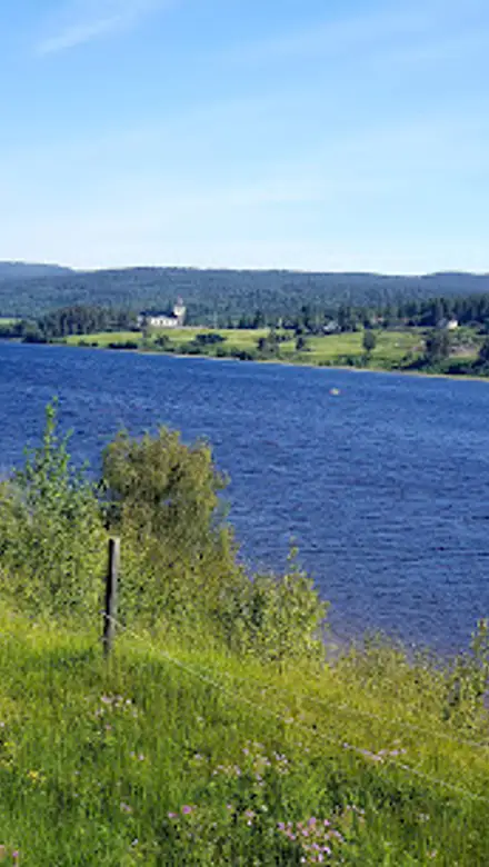
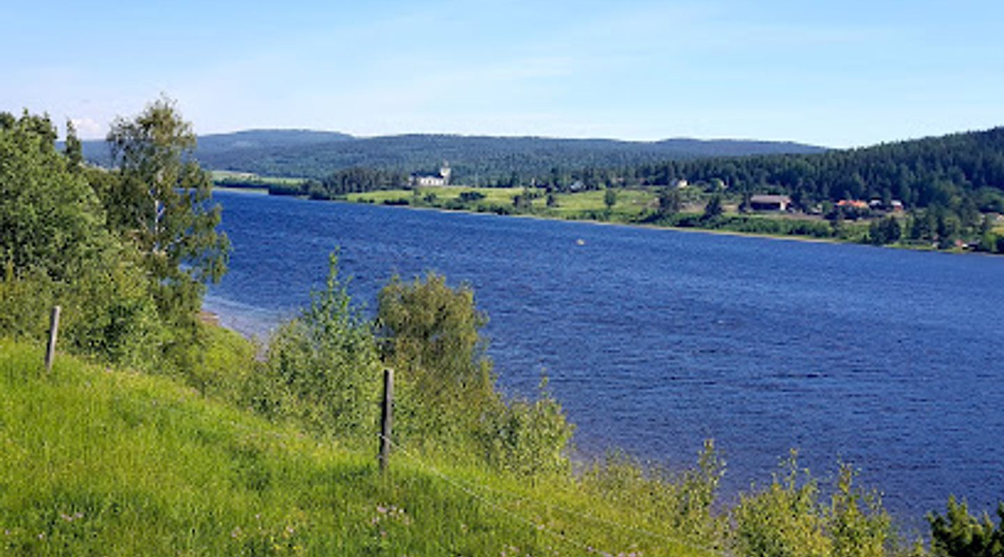
Styresholm is a medieval fogdeborg (administrative fortress) on the banks of the Ångermanälven near Nyland, Sweden. Dating to the late 14th century and associated with the Vitaliebröderna, the site consists of several earthwork mounds and archaeological remains touched by fire and decay; its low, weathered hummocks sit within a riverside meadow and offer a tangible link to coastal power, raids and medieval administration in northern Sweden.
A brief summary to Styresholm
- Folkhögskolevägen 22, Nyland, 870 52, SE
- Duration: 0.5 to 2 hours
- Free
-
 Outdoor
- Mobile reception: 3 out of 5

Know before you go
Hi, I'm Eve. Here are a few practical things to know before exploring Styresholm.
- Dress for variable weather and uneven ground; the site is low-lying and can be wet after rain.
- Bring binoculars for river views and to appreciate the landscape context at a distance.
- Avoid walking on clearly marked archaeological features and follow any posted notices from local heritage bodies.
- Combine a visit with local museum displays or archaeology events if available to see finds and learn the chronology.
Do you manage this location?
Take control to get all the benefits, like improved information, better appearance, and stronger visibility across AI-powered discovery. Learn more about listing your business on Evendo
Activate your presenceOther nearby places you may find interesting
The closest places of the same kind, if this one is not quite what you had in mind.
Explore Styresholm on the Map
A handpicked selection of must-see spots near Styresholm, mapped for you.
Getting There
-
Car
Private car: typical travel time from central Nyland is about 10–20 minutes depending on route and seasonal conditions; parking is informal near the site and may be limited in wet seasons, so expect uneven terrain between vehicle and mounds. There is no paid parking facility; driving fees do not apply but consider that ground can be muddy after rain.
-
Local bus + walk
Regional bus service to Nyland or nearby stops: travel time from larger towns in the county ranges from 25–60 minutes depending on origin and timetable; bus frequency varies seasonally and service may be limited on weekends. From the nearest bus stop expect a 15–30 minute walk over rural paths and grassland to reach the earthworks; wear sturdy footwear. Bus fares typically run within regional single-ride prices (local currency).
-
Guided archaeology programme
Organised summer courses or guided digs (when available) run by local folk high schools or museums: session lengths vary from a few hours to multi-day courses, with structured tuition and supervision; prices and dates depend on the organiser and must be booked in advance. These programmes provide on-site equipment and instruction but can be seasonal and require advance registration and a participation fee.
For the on-the-go comforts that matter to you
-
 Seating Areas
-
 Information Boards
Discover more about Styresholm
Origins at the water’s edge
Styresholm began life in the late 1300s as a fogdeborg — a fortified site used by royal or local administrators and sometimes by private warbands — founded in a strategic bend of the Ångermanälven. Archaeological evidence and historical associations tie the site to the Vitaliebröderna, a group active along the Baltic coasts in the late medieval period. The surviving landscape is not a tall stone castle but a series of low mounds, traces of timber structures and scorched soil that tell a story of construction, use and violent disturbance over centuries.What you see: earthworks, burned layers and fragments
Today Styresholm reads as an archaeological patchwork: clustered ridges and oval hummocks where buildings once stood, shallow ditches and areas of reddened soil that point to burning. Excavations and test trenches have produced finds from daily life and conflict — arrowheads, metal fittings and pottery shards — and occasional larger pieces that hint at the site’s connections to wider medieval networks. Broken stone and timber impressions mark the plan of former buildings rather than intact standing architecture.Sense of place and riverside setting
The fortress lies close to the river, its position chosen for oversight of river traffic and access to the inland- and coastal routes of the era. The river’s presence remains central to the location’s character: the steady murmur of water, wide seasonal skies and winds that pass over the low mounds. On calm days the site feels quiet and open; after rain the soil darkens and the hummocks stand out clearly against the grassy floodplain.Archaeology, interpretation and fragile remains
Investigations at Styresholm have revealed evidence of burning and reuse, suggesting episodes of attack, deliberate destruction and later occupation phases. Finds from controlled digs help reconstruct building types and chronology, but much of the site is fragile: banks erode, organic timbers decay, and ploughed fields or vegetation can obscure features. Conservation and archaeological recording are priorities to preserve what remains and to place local finds into a regional historical framework.Stories and historical significance
Styresholm’s identity as one of Sweden’s northernmost fogdeborgs places it within narratives of medieval maritime power, taxation and coastal raiding. Local lore and fragmentary ballad material reflect a turbulent past; archaeological layers of ash and char align with accounts of conflict. The site is valued less for monumental architecture than for its capacity to reveal everyday life and regional power dynamics in northern late medieval Scandinavia.Visiting the place today
A visit to Styresholm invites slow reading of the ground rather than grand sightseeing: follow the contours of mounds, note the patches of exposed soil and imagine timber buildings grouped along the riverbank. The open riverside meadow, changing weather and shifting light afford different impressions — from stark, exposed archaeology on a crisp day to a softer, more atmospheric setting under overcast skies. Respect for fragile features and any ongoing research is important when exploring the site.












Your all‑in‑one travel companion app
Explore expert travel guides, compare and book tours, experiences, hotels, and more—all from the palm of your hand. Download now for seamless trip planning wherever your wanderlust takes you.


Explore More of Norrland
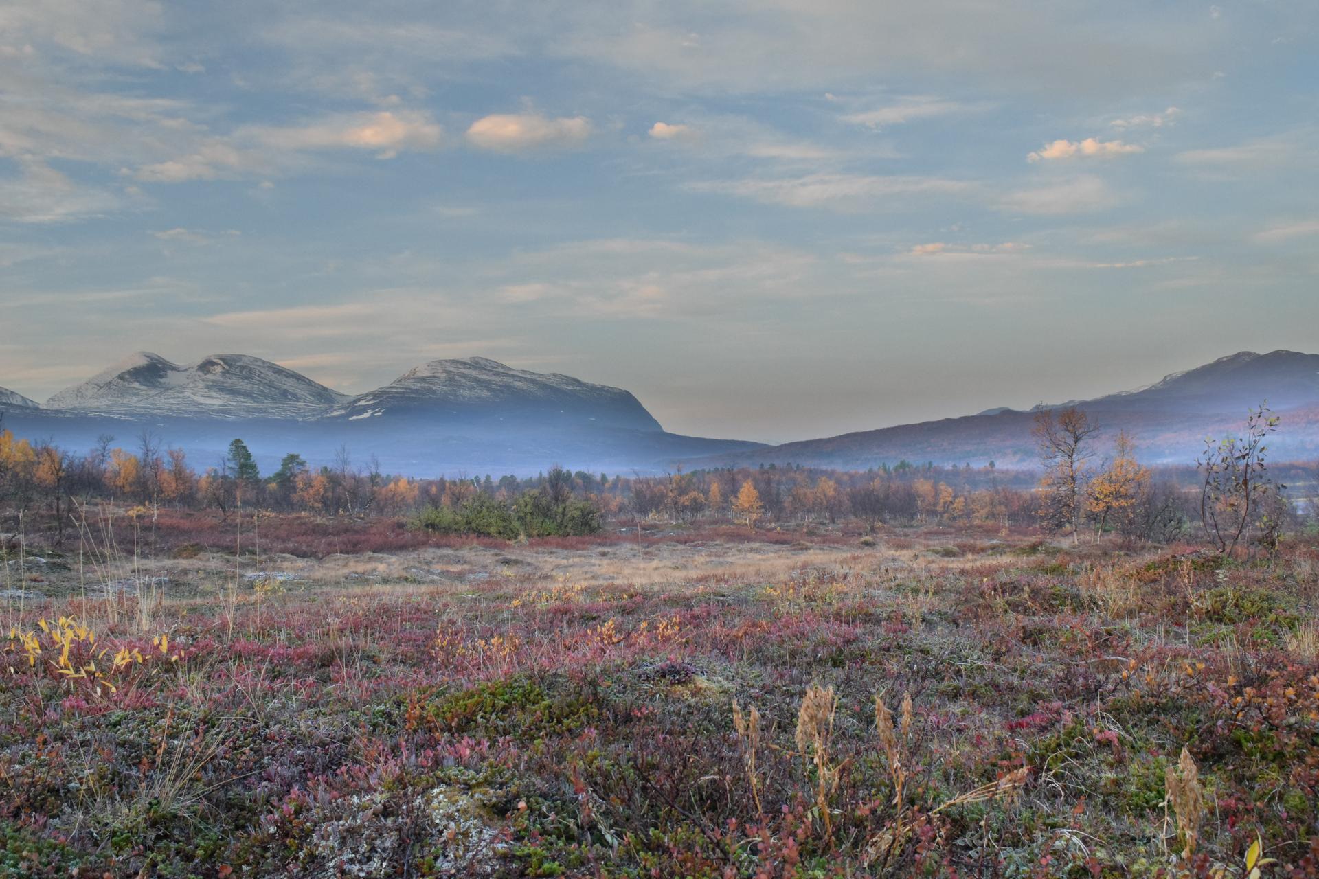
Looking beyond Styresholm? Discover Norrland for broader travel guides, local hot-spots, and regional highlights.
Explore Norrland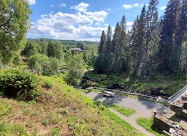
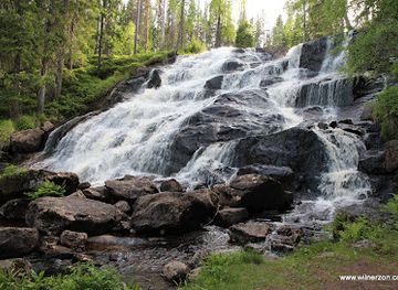
A thunderous cascade set in a small but rich nature reserve where industrial heritage meets wild, forested ravines and fast, oxygenated water.
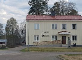
Confront Sweden's grim witch trial legacy at Häxmuseet, where interactive exhibits revive the 1675 Torsåker horrors amid High Coast serenity.