

Västra Hargs lövskogar, Ostergotland Travel Guide
Ancient oaks, spring flowers and a bird tower beside Lake Aren — a mosaic of old broadleaf forest, meadows and wetlands south of Mjölby.
A 345-hectare mosaic of old broadleaf forest, grazed meadows, wetlands and small lakes near Västra Harg, south of Mjölby in Östergötland. The reserve is valued for its many ancient asp and oak trees, rich lichen and fungal flora and breeding woodpeckers; a marked 3.8 km loop passes a bird tower beside Lake Aren, boardwalks over wet ground and stretches of traditionally managed pasture and hay meadow.
A brief summary to Västra Hargs lövskogar
- Mjölby, 595 91, SE
- Click to display
- Duration: 1 to 3 hours
- Free
-
 Outdoor
- Mobile reception: 3 out of 5

Know before you go
Hi, I'm Eve. Here are a few practical things to know before exploring Västra Hargs lövskogar.
- Bring binoculars for the bird tower and a field guide for lichens or fungi—many specialist species live on veteran trees and in deadwood.
- Wear waterproof footwear or ankle-supporting boots; parts of the loop use boardwalks over wet ground and pasture sections can be uneven.
- Respect conservation rules: do not remove mosses, lichens or dead wood, and keep dogs under control near nesting areas and grazing animals.
Do you manage this location?
Take control to get all the benefits, like improved information, better appearance, and stronger visibility across AI-powered discovery. Learn more about listing your business on Evendo
Activate your presenceOther nearby places you may find interesting
The closest places of the same kind, if this one is not quite what you had in mind.
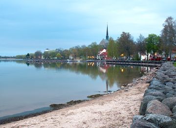
Explore Västra Hargs lövskogar on the Map
A handpicked selection of must-see spots near Västra Hargs lövskogar, mapped for you.
Getting There
-
By car
Drive from central Mjölby by regional roads to the Kulladal parking area near Västra Harg; travel time typically 20–35 minutes depending on local traffic and starting point; parking is limited at small reserve lots and surfaces may be gravel—avoid leaving valuables visible and note that parking is unmanaged (no staffed facilities).
-
Local bus and short walk
Take the regional bus service from Mjölby to Västra Harg village (bus frequency varies by day; typical journey 25–40 minutes); from the village a waymarked footpath or a countryside walk of 1–3 kilometres on rural lanes and paths leads to reserve entrances—terrain is country paths and may be muddy after rain; bus fares are standard regional rates paid on board or via the regional transit app.
-
Guided or group walk
Join a local guided nature walk organised by community groups or nature associations; typical walks last 2–4 hours with a meeting at a designated parking area and moderate walking on uneven trails; some events may suggest a small participation fee to cover leader expenses—check local event listings for dates and costs.
For the on-the-go comforts that matter to you
-
 Seating Areas
-
 Information Boards
-
 Picnic Areas
Discover more about Västra Hargs lövskogar
Where forest meets farmland
Västra Hargs lövskogar occupies a transitional zone between open lowland and denser woodland, forming a patchwork of broadleaf stands, grazing pastures, small lakes and wetlands. The landscape is shaped by centuries of human use: grazing and haymaking have preserved open glades and park-like oak and aspen groves, while wetter hollows host reedbeds and marshy vegetation. This variety of habitats within a compact area gives the reserve pronounced seasonal contrasts, from ephemeral spring flowers to the stillness of winter among silhouetted eaves.Ancient trees and their micro-worlds
Large, veteran oaks and asp trees are the reserve’s defining features: hollow boles, dead wood and loose bark provide nesting and feeding sites for a range of species. The long ecological continuity is evident in abundant wood-decay fungi, specialist lichens and cavity-nesting birds. Several woodpecker species are regularly found here, and the accumulation of standing and fallen deadwood supports rare saproxylic invertebrates and fungi that depend on old-growth structures.Tracks, loop trail and birdwatching points
A yellow-marked circular trail of about 3.8 kilometres begins near Kulladal and runs partly with an illuminated exercise track, then diverges to pass a bird tower overlooking the small lake called Aren. The route includes a raised boardwalk across seasonally wet terrain, open hagmarks and restored hay meadows, offering a range of vantage points and quiet places for observation. The bird tower is a focal point for waterfowl and raptors, while the varied woodland edges attract passerines and woodpeckers.Flora, fungi and conservation value
The reserve is notable for its exceptionally rich assemblage of lichens and fungi, including several species that are nationally red-listed. Old trees and traditional meadow management contribute to this biodiversity: historically maintained meadows and pastures allow light-demanding herbs and spring ephemerals to flourish. Conservation measures emphasise retention of veteran trees and dead wood, and restrictions protect sensitive lichens, mosses and fungal communities from collection or damage.The human story and land management
People have influenced these woods since medieval times; grazing animals and hay-cutting have helped create the reserve’s mosaic of habitats. Land is a mix of privately owned parcels and church holdings, with regional authorities managing the protected area to balance traditional agricultural practice and biodiversity goals. Simple infrastructure—signed trails, benches and information boards—has been added with a light hand so the natural character remains dominant.Seasonal experience and visitor character
Seasons bring distinct impressions: spring brings carpets of woodland flowers and migrating birds; summer reveals full canopy shade and the hum of insects; autumn highlights russet leaves and fungi; winter exposes the trunks, hollows and bird silhouettes. The setting is rural and tranquil rather than commercial—expect natural sounds, informal paths and a quietly managed reserve that rewards slow exploration and attention to small-scale habitats.












Your all‑in‑one travel companion app
Explore expert travel guides, compare and book tours, experiences, hotels, and more—all from the palm of your hand. Download now for seamless trip planning wherever your wanderlust takes you.


Explore More of Ostergotland
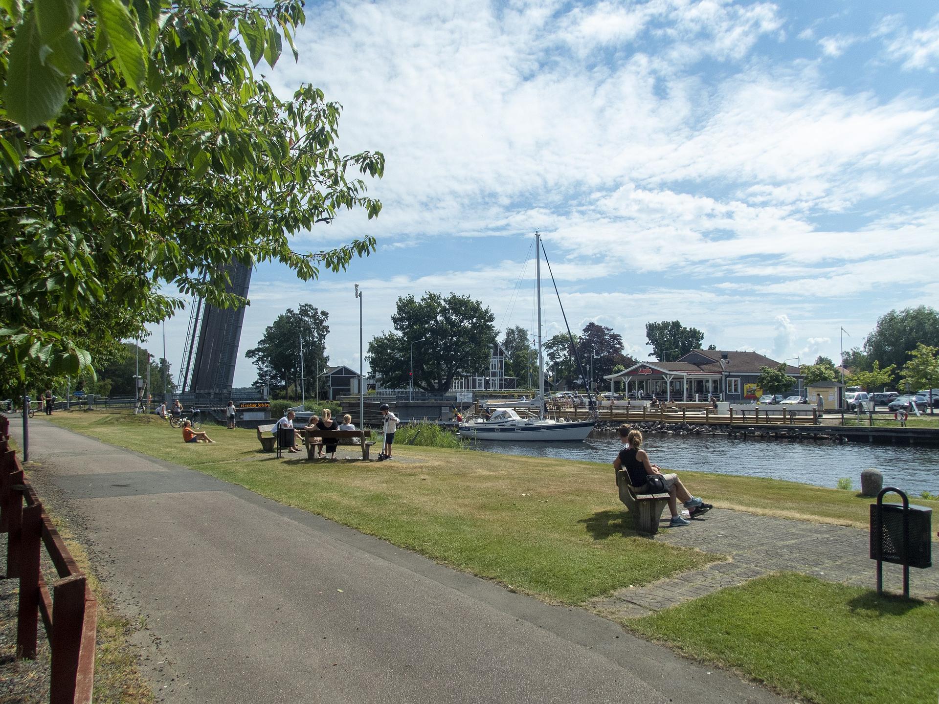
Looking beyond Västra Hargs lövskogar? Discover Ostergotland for broader travel guides, local hot-spots, and regional highlights.
Explore Ostergotland
Discover Iron Age pyres and Viking coffin graves in this serene national reserve, where ancient rituals meet tranquil Swedish nature on Linköping's rocky heights.

A small, secluded reserve of old spruce, lichened rock and quiet bogs — an intimate taste of wild forest in Östergötland.
