Varvsbergets Hoppbackar Utsikt Travel Guide
Free Guide: A windswept ridge above Örnsköldsvik — panoramic harbour and High Coast views framed by ski jumps, trails and a hilltop restaurant pavilion.


A brief summary of Varvsbergets Hoppbackar Utsikt
A windswept ridge above Örnsköldsvik — panoramic harbour and High Coast views framed by ski jumps, trails and a hilltop restaurant pavilion.
A windswept hilltop viewpoint above Örnsköldsvik offering sweeping panoramas over the town, harbour and High Coast coastline; the site sits beside historic ski jumping ramps and a cluster of recreational trails, with picnic spots, a restaurant pavilion and mountain-biking runs nearby. It’s prized for sunrise and evening light, local downhill cycling and the dramatic contrast between forested slopes and the archipelago beyond.
On-site amenities
 Seating areas
 Sheltered areas
 Picnic areas
 Information boards
 Food options
Opening hours
- Every dayOpen 24 hours
Opening hours as listed on the venue’s Google Business Profile. Hours can change for services and special events, so check with the venue before you go.
- Address
- Varvsbergsvägen 50, 891 31 Örnsköldsvik
Getting there
Car
Public transport + short uphill walk
Cycle
Discover more about Varvsbergets Hoppbackar Utsikt
A high, open perch with harbour-wide sightlines
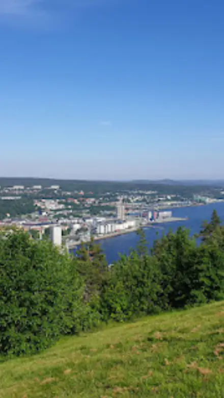
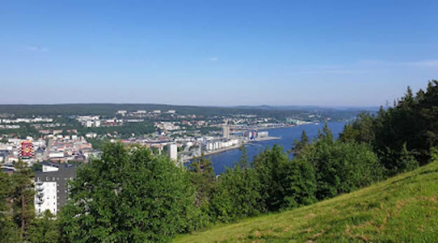
Varvsbergets Hoppbackar Utsikt occupies the crest of Varvsberget, a wooded ridge immediately north of central Örnsköldsvik, from which the town, its harbour inlet and the shimmering ribbon of the High Coast archipelago unfold beneath you. The viewpoint is not a single platform but a small complex of clearings, paths and viewing edges that step out from the tree line; seasonal light and inland haze change the character of the view as the day progresses. During clear weather you can trace the coastal spine and the channel that threads boats into the port, while nearer scenes reveal rooftops, piers and the angular silhouettes of the ski jumps that give this place its name.
Landscape shaped by sport and recreation
The hilltop is anchored visually by the ski jumping ramps—steel-and-timber structures set on the slope—that speak to the area’s long association with winter sports and community events. Around them are marked downhill mountain-bike runs, informal trails and grassy ledges used for picnics and short rest stops. The terrain drops away in steep, wooded faces in places, creating an amphitheatre of slopes that channels wind and sound and gives a slightly wild, exposed feeling even though the town sits close beneath.
A compact visitor cluster: shelter, seating and a restaurant presence
At the base of the main lookout clearings there are seating areas and sheltered spots for lingering, plus a restaurant pavilion set at a near-elevational plateau that takes advantage of the panorama with wide windows and octagonal lines. That restaurant presence changes the experience from purely wilderness viewing into a cultivated stop where people can take refreshments or borrow a spotting scope to examine the harbour activity. Benches and information boards punctuate the route and small parking and service spaces sit discreetly near the ridge, keeping the immediate viewpoint largely pedestrian.
Seasonal moods: from snow-backed drama to luminous summer evenings
Winters paint the ramps and slope edges in stark whites, turning the viewing area into an arena of bone-bright light and long shadows; crisp air improves visibility and the jumps become sculptural features against a pale sky. In summer the hill is softer—green and buzzing, with cyclists and walkers moving along the trails and the archipelago dissolving into a warm, glittering horizon at dusk. Autumn brings a tapestry of ochres and reds on the surrounding birch and pine, while spring coaxes fresh sap-green growth that contrasts with the dark trunks and rocky outcrops.
Sensory details and little discoveries
Approach brings the smell of resinous pine and cut grass, a chorus of birds in the canopy and the distant, muted sounds of the harbour: gulls, small engines and the faint clatter of coastal life. Underfoot you’ll find a mix of crushed stone paths, short tarmac spur routes and softer forest soil; exposed bedrock holds patches of moss and lichen. Look closely around the jump structures for commemorative plaques and weathered fittings that hint at past competitions and community gatherings.
Why this outlook matters locally
Varvsberget serves as a visual and recreational anchor for Örnsköldsvik: a compact high point where natural hillside, engineered sporting infrastructure and civic life meet. The viewpoint offers an accessible dose of panoramic coastal scenery without leaving town; it’s a place where photography, mountain biking and casual wildlife watching coexist. Its layering of landscape, sport and service architecture makes the site both a practical community resource and a singular moment of prospect across the High Coast’s island-studded seascape.
Evendo Review Centre
 Google
Guest reviews
Best time to go
Quietest: Jan, Feb & Mar · before 6am or from 11pm
Busy times are Evendo estimates for a typical year, to help you plan. Actual crowds vary with events, school holidays and the weather.
Explore Varvsbergets Hoppbackar Utsikt on the map
A handpicked selection of must-see spots near Varvsbergets Hoppbackar Utsikt, mapped for you.
Get your free copy of our complete guide to Varvsbergets Hoppbackar Utsikt, delivered straight to you.
Everything on this page, from opening hours and how to get there to Eve’s tips and the best time to go, in one PDF you can read offline, print or share.
Already have an account? Sign in
Your Varvsbergets Hoppbackar Utsikt guide is ready.
We'll send it to · Not you? Sign out

Getting your guide ready…
We are putting together a fresh copy of the Varvsbergets Hoppbackar Utsikt guide. This can take up to a minute.
This can take a few moments. If your browser asks, choose Allow so the download can start. You'll find the guide in your Downloads folder.
Nothing happened? Download it again
Sorry, the guide is taking longer than usual. Please try again in a minute, or get it by email instead.
Other nearby places you may find interesting
The closest places of the same kind, if this one is not quite what you had in mind.
-
-
-
-
-


Swipe for more places
More to explore near Varvsbergets Hoppbackar Utsikt
-
 Best experiences near Varvsbergets Hoppbackar Utsikt
-
 Best hotels near Varvsbergets Hoppbackar Utsikt
-
 Best landmarks near Varvsbergets Hoppbackar Utsikt
-
 Best attractions near Varvsbergets Hoppbackar Utsikt
-
 Best shops near Varvsbergets Hoppbackar Utsikt
-
 Best restaurants near Varvsbergets Hoppbackar Utsikt
-
 Best bars near Varvsbergets Hoppbackar Utsikt


Do you manage this location?
Take control to get all the benefits, like improved information, better appearance, and stronger visibility across AI-powered discovery.
Explore more

Explore more of Västernorrland
Discover Västernorrland: Where Sweden's natural beauty and cultural heritage come alive. Explore dramatic cliffs, ancient forests, and charming towns.
Explore Västernorrland
Explore more of Sweden
Discover Sweden's breathtaking landscapes, vibrant cities, and rich cultural heritage. From the Northern Lights to historic castles, experience the essence of Scandinavia.
Explore Sweden