Raintobelweg, Zurich Travel Guide
A wooded Zürichberg hillside route used for walking, jogging, and linking viewpoints, with slopes, quiet stretches, and occasional city outlooks.
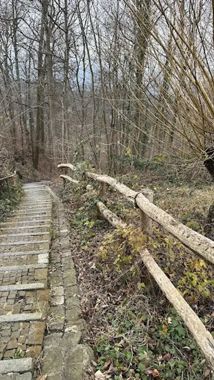
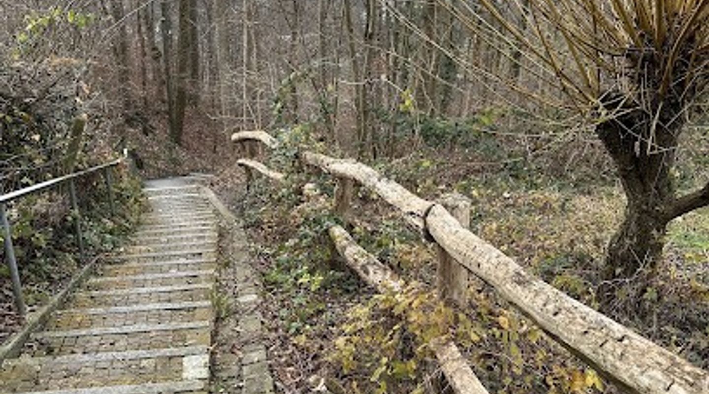
Raintobelweg is less a formal attraction than a wooded hillside route in Zürich 8053, used for walking, jogging, and linking into the Zürichberg trail network. Expect a quiet, green path with slopes, occasional city views, and a local recreation feel rather than staffed facilities or sightseeing crowds.
A brief summary to Raintobelweg
- Raintobelweg 1, Zürich, 8053, CH
- Duration: 0.3 to 4 hours
- Free
-
 Outdoor
- Mobile reception: 4 out of 5
- Monday 12 am-12 pm
- Tuesday 12 am-12 pm
- Wednesday 12 am-12 pm
- Thursday 12 am-12 pm
- Friday 12 am-12 pm
- Saturday 12 am-12 pm
- Sunday 12 am-12 pm

Know before you go
Hi, I'm Eve. Here are a few practical things to know before exploring Raintobelweg.
- Wear shoes with decent grip; the hillside can be slick after rain and awkward in winter.
- Use it as part of a loop with Rigiblick or Zürichberg rather than expecting a destination in itself.
- Bring water if you plan a longer walk, as dedicated facilities on the path are limited.
Do you manage this location?
Take control to get all the benefits, like improved information, better appearance, and stronger visibility across AI-powered discovery. Learn more about listing your business on Evendo
Activate your presenceOther nearby places you may find interesting
The closest places of the same kind, if this one is not quite what you had in mind.
Explore Raintobelweg on the Map
A handpicked selection of must-see spots near Raintobelweg, mapped for you.
Getting There
-
Public transport
Take transit toward Rigiblick or the Zürichberg area, then continue on foot; this is the most practical approach and usually takes about 15 to 30 minutes from central Zürich.
-
Walking
Approach it as a hillside walk with gradients rather than a flat city street; comfortable shoes matter, especially if you are linking several paths.
-
Taxi or rideshare
Useful for a short uphill transfer from central Zürich, but less efficient than transit because the last stretch still involves walking on sloping streets or paths.
-
Driving
Possible if you are already nearby, though narrow streets and limited parking make it the least convenient option for most visitors.
For the on-the-go comforts that matter to you
-
 Seating Areas
-
 Trash Bins
-
 Information Boards
Discover more about Raintobelweg
What it is
Raintobelweg is a pedestrian and access route on the Zürichberg-Adlisberg hillside in Zürich 8053. It functions as part of the local walking network rather than as a standalone attraction, and that is exactly how most people use it. The route sits in a wooded urban landscape above the city, connecting into paths around Rigiblick, the Zürichberg area, and the approaches toward the zoo and nearby recreation zones.What the walk feels like
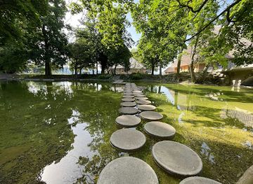
The setting is quiet and green, with a residential-woodland character that feels close to the city but removed from its pace. The terrain is sloping, so the walk is more of a gentle uphill or downhill traverse than a flat promenade. Trees frame the path, and openings in the hillside can reveal broad views over Zürich and, in clearer conditions, toward the lake. It is a place for steady walking, casual jogging, and unhurried route linking, not for formal sightseeing or long stops.Why travellers come here
Visitors use Raintobelweg for low-intensity outdoor time. It suits people who want a short walk between viewpoints, a connector to a longer forest loop, or a quieter alternative to busier city streets. The appeal lies in the combination of easy public-transport access and a surprisingly natural atmosphere so close to central Zürich. Couples, solo walkers, and families with older children tend to fit the terrain best. Those expecting cafés, signage, or visitor services directly on the route will find little of that.Practical expectations
The path is free to use and usually visited in brief to moderate outings. A short crossing may take 20 to 40 minutes, while a more relaxed outing with nearby viewpoints or a detour toward Zürichberg can fill one to two hours. The route is weather-sensitive: dry, clear days give the best footing and the strongest views, while rain, ice, or snow can make the slopes less comfortable. Public transport to the Rigiblick area is the normal approach; driving is possible but less convenient because hillside streets are narrow and parking is limited. Facilities on the path itself are minimal, so it is best treated as a simple urban nature walk rather than a developed park.












Your all‑in‑one travel companion app
Explore expert travel guides, compare and book tours, experiences, hotels, and more—all from the palm of your hand. Download now for seamless trip planning wherever your wanderlust takes you.


Explore More of Zurich
Looking beyond Raintobelweg? Discover Zurich for broader travel guides, local hot-spots, and regional highlights.
Explore Zurich
A compact Zürich coffee window at Hegibachplatz, serving espresso, pastries and light lunches in a quick, local, street-side format.

A modest Zürich mosque with national significance, known as Switzerland’s first purpose-built mosque and a long-standing Ahmadiyya community landmark.