The Chott El Jerid · Travel guide · Updated 2026

The Enigmatic Salt Flats of Chott El Jerid

Explore the surreal and vast salt flats of Chott El Jerid in Tunisia, a mesmerizing destination where the desert meets the sky in a spectacle of colors.

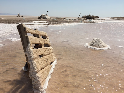
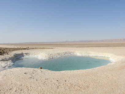
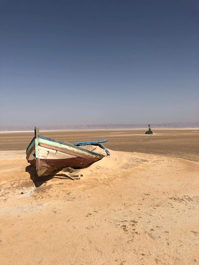
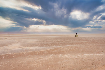
Chott El Jerid, located in Tunisia, is the largest salt pan of the Sahara Desert. This vast and surreal landscape stretches over 5,000 square kilometers, creating a dazzling white expanse that appears otherworldly. The salt flats are particularly mesmerizing at dawn and dusk when the light transforms the landscape into a magical display of colors, from pinks and purples to oranges and reds. 
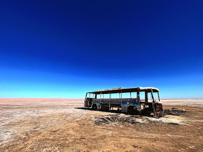
Exploring Chott El Jerid offers a unique experience. It's a place where the ground seems to merge with the sky, creating an endless horizon. Visitors often feel as though they are walking on a different planet. The salt crust is thick and firm in some areas, allowing for safe walking and driving, but it's important to beware of softer patches where the ground can be treacherous. 
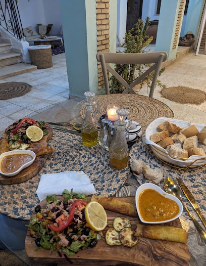
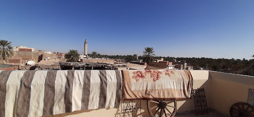
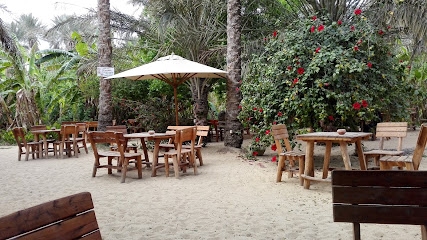
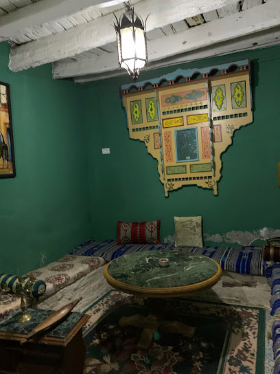
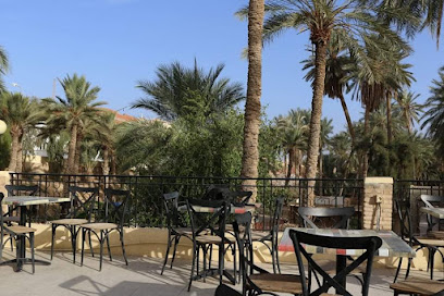
The salt flats are not just about the scenery. They also hold a special place in local folklore and history. The region has been inhabited for thousands of years, and its unique environment has influenced local culture and traditions. Don't miss the chance to visit the nearby oasis towns of Tozeur and Nefta, where you can experience traditional Tunisian hospitality and enjoy the lush greenery contrasting with the stark white of the salt flats.

When is the best time to go to The Chott El Jerid?

Weather at a glance

Use the monthly temperature and precipitation trends to compare typical conditions across the year before planning countryside walks, town visits, and heritage days.

Temperature

°C

Precipitation

mm
Warmest monthsJul–Aug
Longest daylightMay–Aug
Driest periodJan–Dec

Explore places in The Chott El Jerid

    See all →

    Iconic landmarks you can't miss

    Classic The Chott El Jerid sights that mirror the landmark pins above, with a little more context before users explore further.

    Essential places to dine

    The dining ideas below match the food pins above, making the map and editorial recommendations work together.

    Markets, malls and hidden boutiques

    Each shopping card aligns with a mapped browsing area, from major retail streets to market-led detours.

    Essential bars & hidden hideouts

    The evening cards below match the bars layer in the map, so browsing and orientation stay connected.

    File:Anfiteatro, El Jem, Túnez, 2016-09-04, DD 55-66 HDR PAN.jpg - Wikipedia
    Destination guide

    More about Tunisia

    Discover Tunisia: A captivating blend of ancient history, stunning Mediterranean beaches, and vibrant cultures. Explore the wonders of Carthage, the beauty of Sousse, and the allure of the Sahara.

    Tell me more about Tunisia
    Mobile App
    Get the app

    Your all‑in‑one travel companion app

    Explore expert travel guides, compare and book tours, experiences, hotels, and more—all from the palm of your hand. Download now for seamless trip planning wherever your wanderlust takes you.

    Explore The Chott El Jerid in Photos

    A quick visual route through countryside views, towns, gardens, and regional day-trip atmosphere.

    File:Tunisia-3901 - Chott el Jerid (8032314619).jpg - Wikimedia Commons
    File:Bled El Hadhar valley in Tozeur, Tunisia (Djerid Oasis).jpg -  Wikimedia Commons
    File:Chott el Djerid - Lars homestead.jpg - Wikimedia Commons
    Fichier:Mirage - Chott Jerid - Tunisie.jpg — Wikipédia
    File:Chott el-Jerid 1117.jpg - Wikimedia Commons

    Planning another trip?

    Continue exploring nearby country regions around The Chott El Jerid, from connected city edges to neighbouring counties, coastlines, and countryside escapes.

    Select Currency

    Choose the currency you want prices to display in.