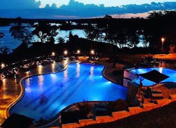
Kidepo Valley National Park Safari
Embark on an Unforgettable Safari Adventure at Kidepo Valley National Park

Explore Uganda’s rich geography through OpenStreetMap Uganda, your gateway to reliable mapping resources and local insights.
OpenStreetMap Uganda is a vital hub for geospatial enthusiasts and travelers seeking reliable mapping resources. Located in Kampala, this organization offers a wealth of information that helps navigate the beautiful landscapes and vibrant communities of Uganda. With a commitment to open-source mapping, it serves as an essential tool for both locals and visitors alike.
Opening times, essentials, and a few local tips gathered into one calmer, easier-to-scan planning section.
Car
If you're traveling by car in Western Region, start by heading toward the main road leading to Kampala. Depending on your specific location in the Western Region, you may take the Mbarara-Kampala Highway (A109). Once you reach Kampala, follow the signs to Nakawa. In Nakawa, head to Kigobe Road where OpenStreetMap Uganda (MapUganda) is located. It is situated at coordinates 0.3580016, 32.6236516, so you can use a GPS navigation system to guide you directly there.
Public Transportation
To reach OpenStreetMap Uganda (MapUganda) using public transportation, start by finding a bus or taxi that travels towards Kampala from your location in the Western Region. Once you arrive in Kampala, you can take a local taxi (matatu) towards Nakawa. Ask the driver to drop you off at Kigobe Road. The organization is located at 9J5F+6F2, which is a short walk from the drop-off point. Ensure you have some cash on hand for the bus fare, which typically ranges from 10,000 to 20,000 UGX depending on your starting point.
Bicycle
For those looking to cycle, the route would be similar to that taken by car. Start on the main roads leading towards Kampala. Ensure you have a map or GPS for navigation. Once in Nakawa, follow Kigobe Road to reach OpenStreetMap Uganda (MapUganda). Cycling may take longer, so plan accordingly and make sure to wear a helmet and reflective gear for safety.
Walking
If you are already in the vicinity of Nakawa, you can walk to OpenStreetMap Uganda (MapUganda). Start from the Nakawa market and head towards Kigobe Road. It’s advisable to ask locals for directions to the coordinates 9J5F+6F2, as they can provide the fastest route on foot. Walking is a good option for short distances, but ensure to stay hydrated and wear comfortable shoes.
Use OpenStreetMap Uganda (MapUganda) as your starting point for nearby food, family ideas, nightlife, and more local discoveries.


Explore expert travel guides, compare and book tours, experiences, hotels, and more—all from the palm of your hand. Download now for seamless trip planning wherever your wanderlust takes you.
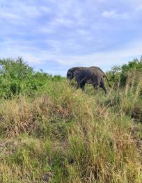
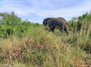
Explore the natural beauty and cultural richness of Western Uganda, from the wildlife-filled savannas of Queen Elizabeth National Park to the serene waters of Lake Bunyonyi and the mystical Bwindi Impenetrable Forest.
Tell me more about Western Region