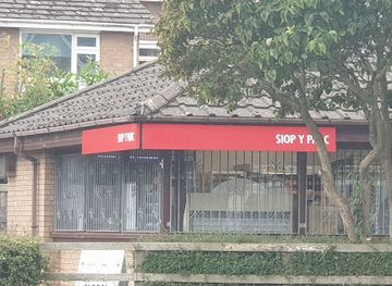
Background

River Clwyd: The Lifeblood of North Wales' Vale

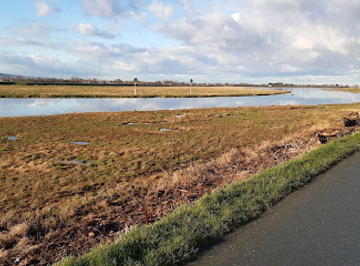
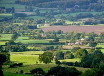
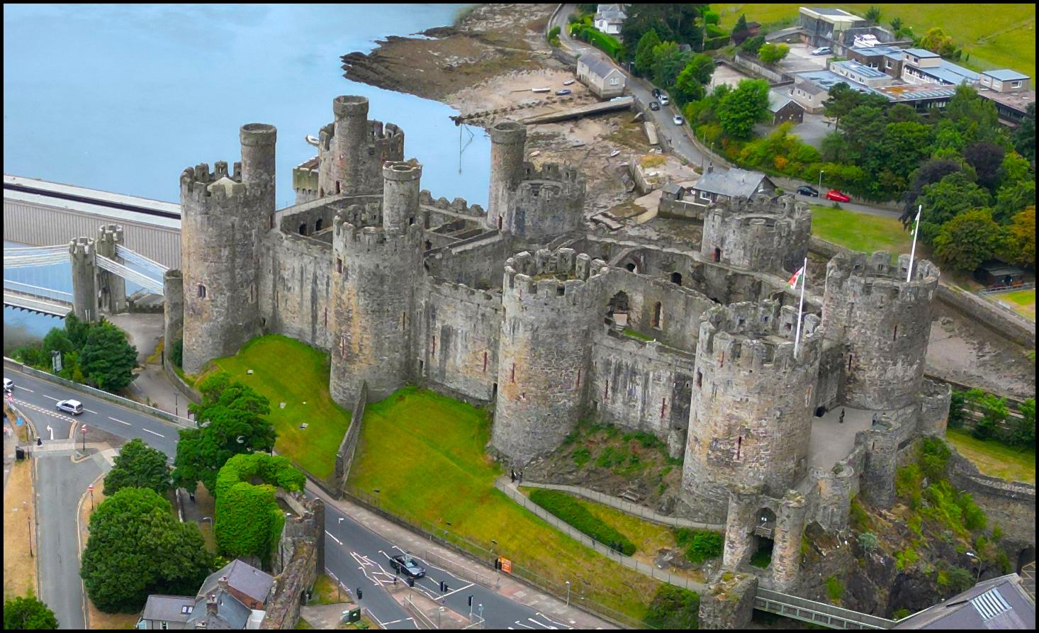
Flowing 35 miles through North Wales, the River Clwyd nourishes fertile valleys, historic sites, and rich wildlife before meeting the Irish Sea.

4.6

Origins and Course Through Welsh Landscapes

Rising in the ancient Clocaenog Forest about five miles northwest of Corwen, the River Clwyd begins its journey southward through rugged uplands. After flowing due south for several miles, it veers northeast near Melin-y-Wig, following a fault line that shapes the Vale of Clwyd. Along its path, it passes through quaint villages such as Derwen, Llanelidan, Pwllglas, and Llanfair Dyffryn Clwyd, threading through a landscape marked by rolling hills and pastoral farmland.

The Fertile Heart of the Vale of Clwyd

Upon reaching Ruthin, the river leaves its narrow valley and enters the broad, fertile Vale of Clwyd. This expansive agricultural region is characterized by soft sandstone underlying glacial deposits, creating rich soils that have supported farming communities for centuries. The river’s waters nourish this landscape, sustaining crops and livestock, while its banks provide habitats for diverse wildlife.

Tributaries and Ecological Richness

Just south of Denbigh, the River Clwyd is joined by the River Clywedog, a significant tributary also born in the Clocaenog Forest. Further north, near St Asaph, the River Elwy merges with the Clwyd, creating a unique hydrological phenomenon where the two rivers flow side by side with minimal mixing at low tide. This confluence marks the beginning of the river’s tidal estuary, an ecologically rich zone teeming with birdlife and aquatic species.

Historical Significance and Engineering Feats

The River Clwyd has played a crucial role in the region’s history. In 1277, King Edward I commissioned the construction of Rhuddlan Castle beside the river. To facilitate supply barges reaching the castle, a remarkable medieval engineering project straightened a three-mile stretch of the river, known as 'The Great Ditch'. This alteration is still visible today via satellite imagery, revealing the original meanders of the river.

From Estuary to Sea: The Clwyd’s Final Stretch

After the confluence with the Elwy, the river becomes tidal and flows through a narrow estuary before emptying into the Irish Sea near the seaside town of Rhyl. This estuarine environment supports a wide variety of wildlife and is an important natural habitat. The river’s mouth is a dynamic interface between freshwater and marine ecosystems, offering scenic views and opportunities for nature observation.

The River Clwyd’s Legacy in Welsh Identity

The river’s name was adopted for the former county of Clwyd, created in 1974, encompassing modern Denbighshire, Flintshire, Wrexham, and parts of Conwy. The Clwyd remains a symbol of natural beauty and cultural heritage in northeastern Wales, celebrated for its scenic landscapes, historical associations, and ecological importance.

Local tips

  • Visit near St Asaph to witness the unique sight of the River Clwyd and River Elwy flowing side by side with minimal mixing.
  • Explore the estuary near Rhyl for birdwatching and to experience the tidal dynamics of the river meeting the sea.
  • Learn about medieval engineering by observing the straightened section of the river near Rhuddlan, known as 'The Great Ditch.'
  • Enjoy scenic walks along the riverbanks through the Vale of Clwyd’s fertile farmland and charming villages.
widget icon

Buy tickets

    No tickets available

Book tours with entry

    No tours available

Book tours without entry

    No tours available

A brief summary to River Clwyd

  • GB

Getting There

  • Train and Bus

    Take a train to Rhyl railway station, which is well connected to major Welsh cities like Chester and Wrexham. From Rhyl, local buses run regularly to points along the River Clwyd estuary and nearby towns such as St Asaph. Total travel time ranges from 1 to 3 hours depending on origin. Train fares typically range from £10 to £25.

  • Car

    Driving from nearby cities such as Chester or Wrexham takes approximately 45 minutes to 1.5 hours. The route offers flexible access to various points along the river including Ruthin and Rhyl. Parking is available in towns but can be limited during peak seasons.

  • Cycling

    For the adventurous, cycling routes along the Vale of Clwyd provide scenic access to the river’s course. Distances vary, with routes from Ruthin to Rhyl spanning about 20 miles on mostly flat terrain. Suitable for moderate fitness levels and best in dry weather.

Popular Experiences near River Clwyd

Popular Hotels near River Clwyd

Select Currency