Buttertubs Pass: Dramatic Moorland Gateway in the Yorkshire Dales
Experience the breathtaking limestone potholes and thrilling mountain road of Buttertubs Pass, a Yorkshire Dales icon blending natural wonder and historic charm.
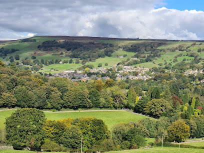
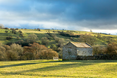
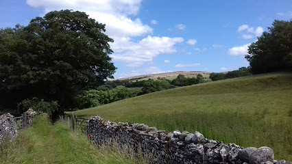
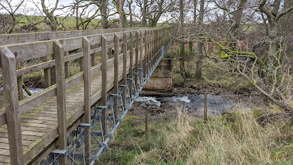
Buttertubs Pass is a striking mountain road crossing the high moorlands between Wensleydale and Swaledale in the Yorkshire Dales National Park, England. Famous for its deep limestone potholes known as the 'buttertubs' and panoramic views, this steep, narrow road offers a thrilling drive and scenic stops. It has historical significance as a farmers’ route and modern fame from the 2014 Tour de France. Limited parking and changeable weather add to its rugged charm.
A brief summary to Buttertubs Pass
- Cliff Gate Rd, Richmond, Thwaite, DL11 6DR, GB
- Visit website
- Duration: 0.5 to 2 hours
- Free
-
 Outdoor
- Mobile reception: 4 out of 5
- Monday 12 am-12 am
- Tuesday 12 am-12 am
- Wednesday 12 am-12 am
- Thursday 12 am-12 am
- Friday 12 am-12 am
- Saturday 12 am-12 am
- Sunday 12 am-12 am
Local tips
- Arrive early to secure one of the few informal parking spots near the summit.
- Check weather conditions before visiting, as fog and rain are common and can close the pass.
- Drive cautiously due to steep gradients, sharp bends, and narrow road sections.
- Take time to explore the limestone potholes that give the pass its name.
- Visit between late spring and early autumn for the best chance of clear skies.
For the on-the-go comforts that matter to you
- Seating Areas
- Trash Bins
- Information Boards
Getting There
-
Car
Driving is the most practical way to reach Buttertubs Pass, typically taking 15-25 minutes from Hawes. The route follows the B6270 road, which is narrow and steep in places, so cautious driving is essential. Parking is informal and limited at laybys near the summit, with no designated paid parking.
-
Bus
Limited bus services run to nearby Hawes from larger towns such as Richmond or Leyburn, with journey times ranging from 45 minutes to 1.5 hours depending on origin. From Hawes, Buttertubs Pass is not easily accessible by public transport, so additional arrangements like taxis are needed.
-
Cycling
Experienced cyclists often use Buttertubs Pass as a challenging route between Hawes and Thwaite. The climb is steep and demanding, with gradients up to 20%. Weather conditions can affect safety, so proper gear and caution are advised.
Buttertubs Pass location weather suitability
-
 Any Weather
-
 Rain / Wet Weather
-
 Clear Skies
-
 Windy Conditions
-
 Mild Temperatures
Discover more about Buttertubs Pass
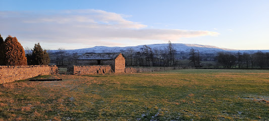
Geological Wonders and Name Origins
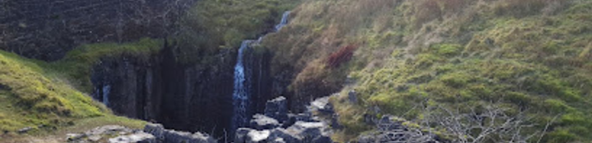
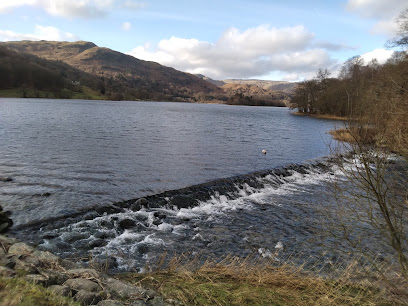
Buttertubs Pass derives its name from the remarkable natural limestone potholes near the summit, some plunging 65 feet deep. These fluted hollows were historically used by local farmers to cool their butter on hot market days, a practical tradition that lends the pass its unique identity. The surrounding moorland landscape, shaped by millennia of geological activity, showcases the raw beauty of the Yorkshire Dales with its rugged limestone formations and sweeping vistas.Challenging and Scenic Road Experience
The pass is traversed by Cliff Gate Road (B6270), an 8.85 km paved but narrow and steep route, climbing to an elevation of 528 meters (1,732 feet). Drivers encounter sharp bends, steep gradients averaging 6.5% and reaching up to 20%, and sheer drops exceeding 400 feet on one side. This makes it one of England’s most exhilarating and demanding drives, praised by motoring enthusiasts and featured on top motoring shows. The road’s twists and elevation changes reward travelers with dramatic views across the Dales but require careful navigation, especially in adverse weather.Historical and Sporting Significance
Historically, Buttertubs Pass served as a vital link between the market town of Hawes and the hamlet of Thwaite, facilitating the transport of goods and livestock. Its rugged terrain and scenic challenge have made it a favorite climb for cyclists, notably featured in the 2014 Tour de France Grand Depart as the second King of the Mountains climb. The German rider Jens Voigt famously led over the summit, cementing the pass’s reputation in competitive cycling lore.Visitor Experience and Practical Considerations
Visitors can pull off at several informal laybys near the summit to admire the panoramic moorland views and explore the iconic potholes. However, parking is very limited with no designated paid areas, so early arrival is recommended. The weather is highly changeable, with fog, rain, and strong winds common, sometimes leading to temporary road closures for safety. The best visiting window is from late spring to early autumn when clearer skies prevail. The pass is popular with motorcyclists, cyclists, and drivers seeking a scenic yet challenging route.Natural Setting and Wildlife
Set within the Yorkshire Dales National Park, Buttertubs Pass is surrounded by protected moorland habitats rich in native flora and fauna. The open landscape offers opportunities for spotting local wildlife and appreciating the tranquil yet wild character of the Dales. The expansive views encompass rolling hills, valleys, and distant fells, making it a memorable nature escape for those who pause to take in the scenery.Safety and Accessibility Notes
Due to its narrowness, steep gradients, and exposure, the pass demands cautious driving. The road is two-way but can be tight, requiring attention to oncoming traffic and cyclists. Weather conditions can rapidly deteriorate, so visitors should check forecasts before traveling. The limited parking and lack of facilities mean the pass is best enjoyed as a scenic drive with brief stops rather than extended visits.Iconic landmarks you can’t miss
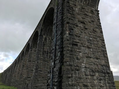
Ribblehead Viaduct
20.2 km
Explore the awe-inspiring Ribblehead Viaduct, an architectural marvel surrounded by the breathtaking beauty of the Yorkshire Dales.
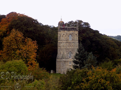
Culloden Tower
29.6 km
Historic Culloden Tower in Richmond offers a unique self-catering stay blending heritage charm with modern comfort in Yorkshire’s scenic market town.
Westmorland County Showground
36.7 km
Discover the essence of the Lake District at Westmorland County Showground, a vibrant hub for local culture, food, and crafts.
National Trust - Sizergh
38.3 km
Discover the enchanting Sizergh Manor, a historical gem in the Lake District with beautiful gardens and rich heritage.
Levens Hall
39.3 km
Explore the enchanting gardens and rich history of Levens Hall, a stunning landmark in Kendal, perfect for nature lovers and history enthusiasts alike.
Nidderdale National Landscape
40.7 km
Experience the breathtaking beauty of Nidderdale National Landscape, where nature meets adventure in an unforgettable Yorkshire escape.
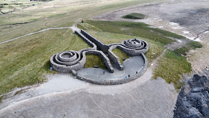
The Coldstones Cut
40.7 km
A monumental outdoor sculpture blending art, heritage, and sweeping Nidderdale vistas in a dramatic natural setting.
National Trust - Acorn Bank
41.1 km
Experience the tranquility of Acorn Bank, a National Trust garden in Temple Sowerby, perfect for nature lovers and history enthusiasts alike.
Leighton Hall Estate
43.6 km
Discover the charm and history of Leighton Hall Estate, a captivating destination in Carnforth featuring stunning gardens and rich heritage.

Thornborough Henges
44.4 km
Explore the awe-inspiring Thornborough Henges, a vast Neolithic ritual landscape known as the Stonehenge of the North, free to visit and steeped in ancient mystery.
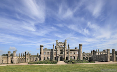
Lowther Castle & Gardens
44.8 km
Explore the majestic Lowther Castle & Gardens, where history meets natural beauty in the heart of the Lake District.
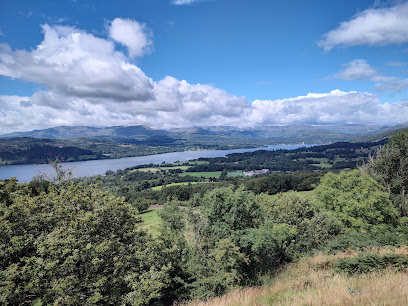
Orrest Head Viewpoint
46.0 km
Discover the stunning vistas of Windermere at Orrest Head Viewpoint, a must-visit in the English Lake District for nature enthusiasts and photographers.
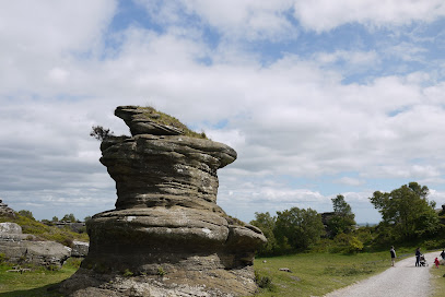
National Trust - Brimham Rocks
46.1 km
Explore Brimham Rocks, a breathtaking country park in Yorkshire Dales known for its spectacular rock formations and diverse hiking trails.
Westmoreland Street
46.2 km
Explore Darlington from Westmoreland Street, your hub for transport, local culture, and historical attractions in County Durham.
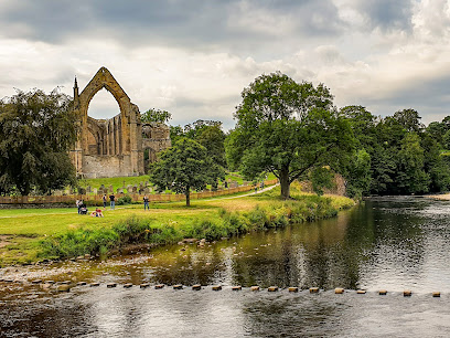
Bolton Priory
46.4 km
Explore the peaceful charm of Bolton Priory, a historic Anglican church set in the stunning Yorkshire Dales, perfect for nature lovers and history enthusiasts alike.
Unmissable attractions to see
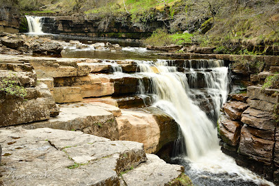
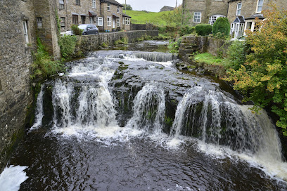
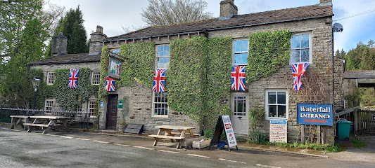
Hardraw Force Waterfall
4.8 km
Experience the breathtaking power of England’s highest single drop waterfall, set in the scenic Yorkshire Dales and steeped in history and natural beauty.
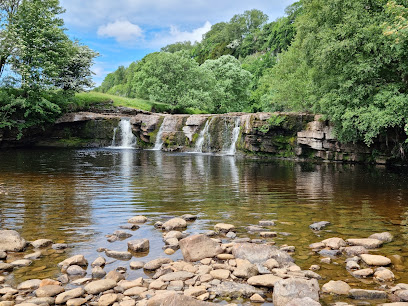
Cotter Force
4.9 km
A six-stepped waterfall in peaceful woodland with a fully accessible path and pristine swimming pool.

Kisdon Force
5.5 km
Experience the thrilling cascades and serene beauty of Kisdon Force, a spectacular waterfall nestled in the Yorkshire Dales’ limestone gorge.
Wain Wath Force
5.5 km
Discover the tranquil beauty and wild swimming delights of Wain Wath Force, a captivating waterfall in the heart of the Yorkshire Dales.
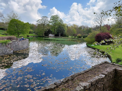
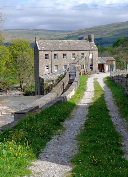
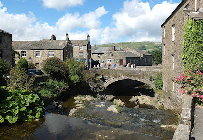
Dales Countryside Museum
6.2 km
Discover the Yorkshire Dales’ heritage in a historic railway station with interactive exhibits, family activities, and stunning cultural displays.
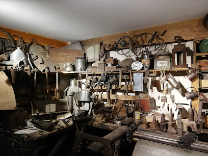
Gayle Mill
6.7 km
Explore the oldest unaltered cotton mill in the UK, a working water-powered sawmill steeped in industrial and wartime history in the heart of Wensleydale.
Yorkshire Dales National Park Authority
8.3 km
England's limestone heartland: where heritage records meet wild moorland and welcoming valleys.
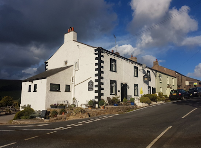
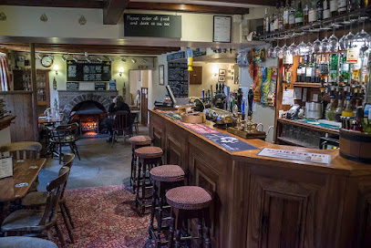
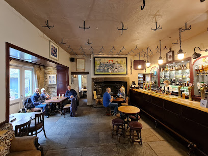
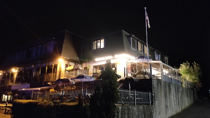
The Moorcock Inn
8.3 km
A welcoming, rustic inn in the heart of the Yorkshire Dales, perfect for hearty meals, local ales, and peaceful countryside stays.
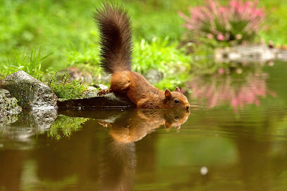
Snaizeholme Red Squirrel Sanctuary
10.1 km
Discover the elusive red squirrels of Yorkshire Dales on a tranquil woodland trail through fragrant spruce forests and scenic wild habitats.
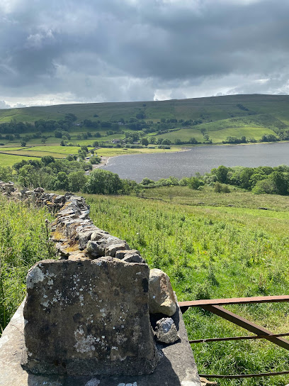
Semer Water Nature Reserve
10.3 km
Discover the serene beauty and rich wildlife of Semer Water, a rare natural lake and nature reserve in the heart of the Yorkshire Dales.
Yorkshire Dales National Park
10.8 km
Explore the breathtaking limestone valleys, rugged peaks, and dark skies of Yorkshire’s iconic upland national park.
Tan Hill Inn
10.9 km
Experience Britain’s highest pub with historic charm, hearty local fare, and breathtaking Yorkshire Dales views at The World Famous Tan Hill Inn.
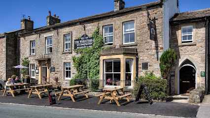
The Wheatsheaf Inn
14.7 km
Traditional Yorkshire hospitality in the heart of Wensleydale—comfort, cuisine, and countryside charm.
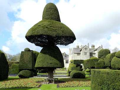
Aysgarth Edwardian Rock Garden
14.9 km
Discover a tranquil Edwardian-era limestone rock garden with winding paths, arches, and a waterfall nestled in the heart of Aysgarth village.
Podgill Viaduct
15.0 km
A majestic 19th-century limestone railway viaduct blending industrial heritage with tranquil Eden Valley scenery.
Essential places to dine
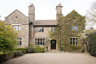
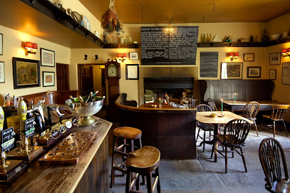
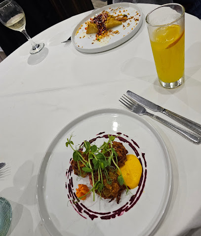
Stone House Hotel
5.2 km
Elegant Edwardian country house hotel offering scenic Yorkshire Dales views, refined dining, and warm hospitality near Hawes.
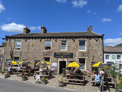
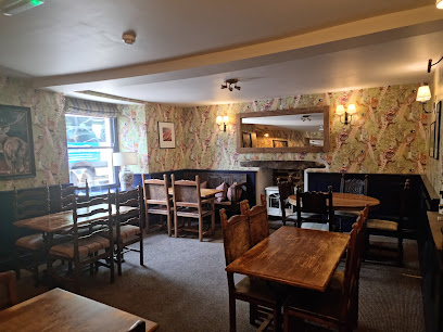
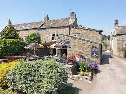
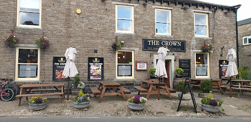
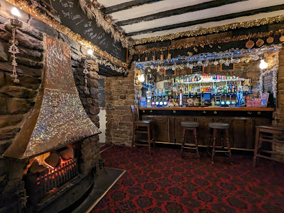
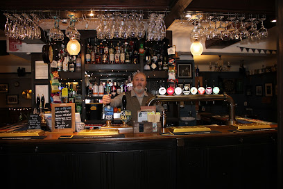
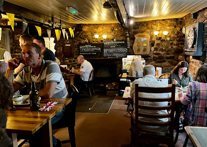
The Crown Hawes
6.2 km
A traditional Yorkshire Dales pub offering hearty meals, local ales, and warm hospitality in the heart of Hawes Market Place.
The White Hart Inn, Hawes
6.2 km
A cozy, traditional Yorkshire pub and inn in Hawes offering hearty local fare, comfortable rooms, and warm Dales hospitality.
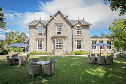
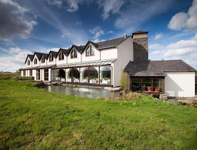
Yorebridge House
8.0 km
Experience refined luxury and serene beauty at Yorebridge House, a boutique 5-star retreat in the heart of the Yorkshire Dales.
Sycamore Restaurant
8.5 km
Authentic British dining with rustic charm in the scenic village of Bainbridge, celebrating local flavors and warm hospitality.
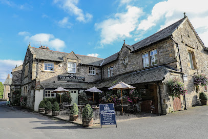
The Black Swan
17.0 km
Charming 4-star inn in Ravenstonedale offering award-winning dining, cosy rooms, and a welcoming atmosphere near the Yorkshire Dales and Lake District.
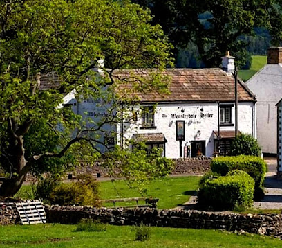
Wensleydale Heifer
20.0 km
Luxury boutique hotel and acclaimed fine dining in the heart of the Yorkshire Dales, offering themed rooms and local culinary delights.
The Fox & Hounds Inn
20.2 km
Experience authentic Yorkshire hospitality at The Fox & Hounds Inn in West Witton - where comfort meets tradition.
The Foresters Arms
22.4 km
A welcoming community pub in picturesque Carlton-in-Coverdale, blending traditional charm with quality food and local spirit.
The Saddle Room Restaurant
23.9 km
Experience refined English dining and boutique comfort in the tranquil countryside of Leyburn’s historic Tupgill Park Stables.
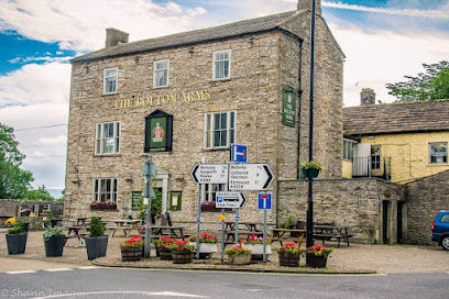
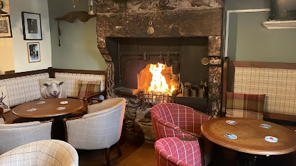
The Bolton Arms
24.3 km
Historic Yorkshire pub offering hearty home-cooked meals, local ales, and a warm, dog-friendly atmosphere in the heart of Leyburn.
The Three Greyhounds Inn
25.8 km
A cozy, traditional Cumbrian pub offering hearty home-cooked food, local ales, and warm hospitality in the heart of Great Asby.
Westmorland Hotel
28.8 km
A peaceful Lake District haven offering cosy rooms, local cuisine, and scenic fell views just off the M6 motorway.
The Blue Lion Inn, Pub and Restaurant with Accommodation
28.8 km
Quintessential Yorkshire Dales inn blending rustic charm, hearty cuisine, and cozy accommodation in the heart of East Witton village.
7eventy1 Appleby-in-westmorland, Cumbria
30.8 km
Authentic Indian flavors with personalized service in the historic heart of Appleby-in-Westmorland.
Markets, malls and hidden boutiques
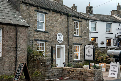
Swaledale Woollens
3.9 km
Discover authentic, handmade woollen knitwear crafted by local artisans in the heart of the Yorkshire Dales at Swaledale Woollens.
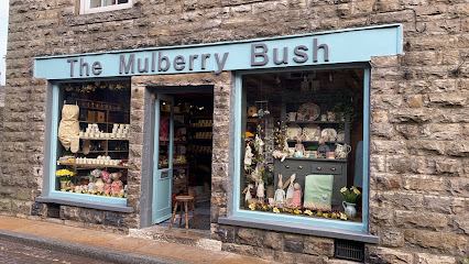
The Mulberry Bush and Yorkshire Sheepskins
6.2 km
A charming Yorkshire gift shop in Hawes offering unique sheepskins, local crafts, and a warm, traditional welcome.
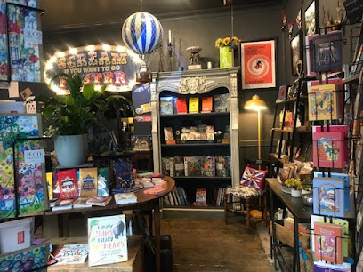
Church Gallery
16.1 km
A multi-level gem in Kirkby Stephen: browse quirky gifts and cards, sip coffee, and shop ladies’ clothes in a dog-friendly, relaxed café-shop hybrid.
Dent Stores B&B
19.1 km
Historic Dent village B&B blending traditional charm with modern comfort and a top-rated breakfast in the heart of the Yorkshire Dales.
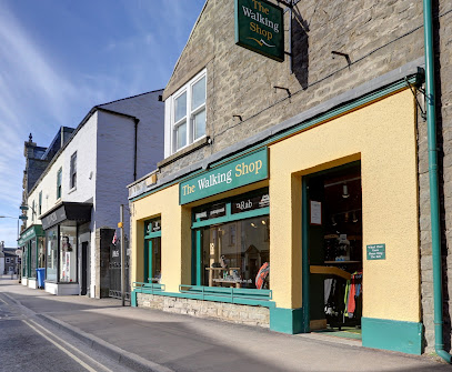
The Walking Shop
24.3 km
Your trusted outdoor gear specialist in Leyburn, offering expert advice and quality equipment for Yorkshire Dales adventures.
The Old Barnard Castle Curiosity Shop
26.9 km
Discover quirky crafts and unique treasures in the heart of historic Barnard Castle at this charming curiosity shop.
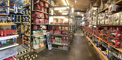
Hillside Toys -Farm Models & Toys
29.7 km
Discover a nostalgic world of farm models and classic toys at Hillside Toys in Ingleton, where agricultural heritage comes to life.
Branthwaites of Appleby
30.8 km
Discover unique local gifts and warm hospitality at Branthwaites, a charming shop nestled in the historic heart of Appleby-in-Westmorland.
The Cupboard Under The Stairs
30.9 km
Discover unique handcrafted gifts and magical Harry Potter treasures in the heart of Appleby-in-Westmorland’s historic market street.
Barry Mckay Rare Books
31.2 km
Discover rare and fine books celebrating the art and history of the book in a charming Appleby-in-Westmorland setting.
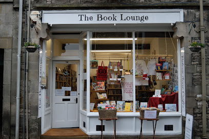
The Book Lounge
31.4 km
Discover a cozy haven of books, puzzles, and community spirit in the heart of Kirkby Lonsdale’s historic Main Street.
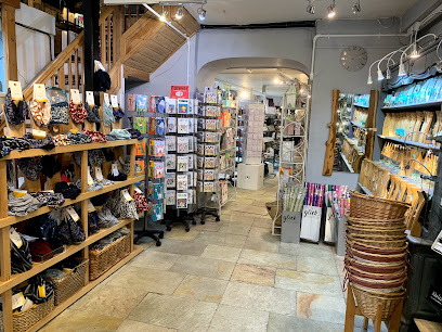
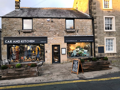
C&K
32.8 km
A charming independent lifestyle store and café in Settle’s Market Place, blending boutique shopping with local flavors and welcoming ambiance.
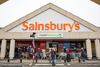
Sainsbury's
35.4 km
Your convenient and comprehensive supermarket destination in Kendal, offering fresh produce, bakery delights, and friendly service daily.
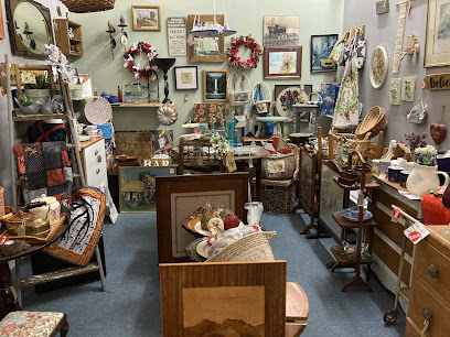
The Antiques Emporium
35.8 km
Explore a remarkable collection of antiques and collectibles at The Antiques Emporium in Kendal, a must-visit for history enthusiasts and treasure hunters alike.
Westmorland Shopping Centre
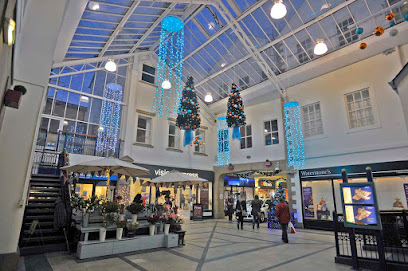
35.9 km
Explore the diverse shopping and dining experiences at Westmorland Shopping Centre, a must-visit destination in Kendal for tourists.
Essential bars & hidden hideouts
Farmers Arms
4.0 km
A beloved traditional pub in Muker offering hearty food, cozy charm, and a welcoming atmosphere in the heart of the Yorkshire Dales.
The Green Dragon Inn
4.9 km
Historic Yorkshire coaching inn with cozy fires, hearty pub fare, and scenic Dales setting near Hardraw Force waterfall.
Hawes Club
6.3 km
A friendly, affordable bar on Main Street offering casual drinks, sports, and a pool table in the heart of Hawes.
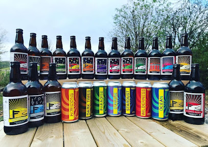
Yorkshire Dales Brewery
8.6 km
Experience authentic Yorkshire craft beers and seasonal taproom charm in the heart of the stunning Yorkshire Dales.
The King's Arms Hotel
9.0 km
Historic Yorkshire Dales pub and hotel famed for warm hospitality, hearty local fare, and charming traditional rooms in Askrigg village.
The Crown Inn
9.0 km
A friendly, family-run pub in Askrigg offering hearty local food, fine ales, and a warm Yorkshire welcome in the heart of the Dales.
Aysgarth Falls Hotel & Restaurant
15.7 km
Charming hotel with stunning Yorkshire Dales views, fine dining, and cozy rooms near the iconic Aysgarth Falls.
Street head inn
16.0 km
A cozy Yorkshire Dales pub with hearty meals, local ales, and stunning countryside views in Newbiggin near Leyburn.
The Taggy Man
16.1 km
A quirky, cosy, and dog-friendly pub in Kirkby Stephen offering hearty pies, local ales, and a warm, welcoming atmosphere.
The George Inn
18.6 km
Traditional Yorkshire Dales pub with award-winning pies, cozy rooms, and warm hospitality nestled in the scenic village of Hubberholme.
The Queens Arms
22.2 km
Historic 17th-century Yorkshire pub in Litton offering award-winning local cuisine, cozy ambiance, and handcrafted ales in the heart of the Dales.
G & P Events and Mobile Bars
25.5 km
Experience bespoke mobile bar services and event hospitality in the scenic heart of Kettlewell, blending professional expertise with rural charm.
The Blue Bell Inn
25.5 km
Historic 17th-century inn offering cozy rooms, hearty local fare, and a welcoming atmosphere in scenic Kettlewell, Yorkshire Dales.
Pennine View Bar/Restaurant
27.0 km
Rustic charm and local flavors meet breathtaking Pennine views at this cozy bar and restaurant in Appleby-in-Westmorland.
The Cavern Music Bar
29.9 km
A retro-inspired bar in Richmond offering curated cocktails and classic tunes on lively weekend nights.
Nightclubs & after hour spots
Louis Bar
31.2 km
A vibrant nightclub and bar in Catterick Garrison offering live music, quality food, and a lively atmosphere for all-night entertainment.
sherdy sherd primary school
31.3 km
Experience Richmond’s vibrant nightlife at Sherdy Sherd Primary School, a uniquely named nightclub with extensive hours and lively atmosphere.
The Queen's Head, Finghall
31.3 km
A quintessential English country pub and inn in Finghall offering hearty British fare, cozy rooms, and warm hospitality in scenic North Yorkshire.
secret bridge
41.4 km
Experience vibrant nightlife and lively music at Secret Bridge, Milburn’s premier nightclub near Penrith in the scenic Eden District.
Windermere Social Club
46.2 km
A friendly and versatile social club in Windermere offering games, sports viewing, and community events in a welcoming atmosphere.
Wheelhouse Nightclub
47.5 km
Experience vibrant weekend nightlife with dynamic music, drinks, and dancing at Wheelhouse Nightclub in scenic Bowness-on-Windermere.
The loose moose
49.4 km
A lively and welcoming nightclub in Penrith offering cocktails, music, and community spirit in the heart of Cumbria’s Eden District.
24 North Bailey Club
60.9 km
Immerse yourself in the vibrant atmosphere of Durham's 24 North Bailey Club, where good drinks and great company await.
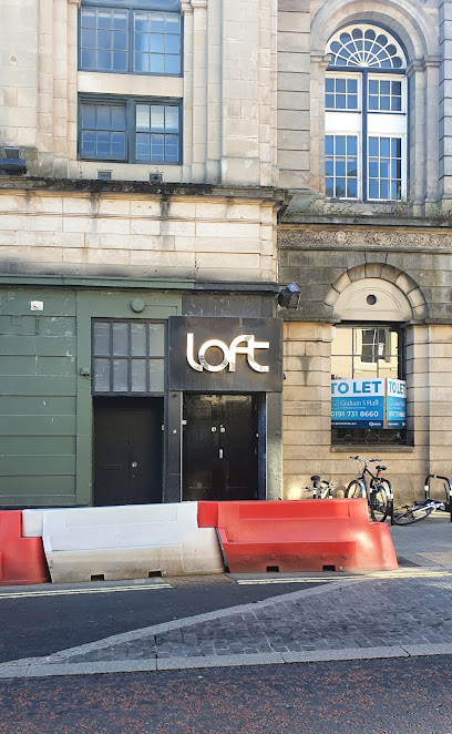
Loft Durham
61.0 km
Discover Loft Durham, the ultimate nightlife destination offering vibrant music, energetic dancing, and a chic atmosphere in the heart of Durham.
Babylon Durham
61.0 km
Experience the lively atmosphere of Babylon Durham, where great drinks and vibrant nightlife come together in the heart of the city.

Revolution Durham
61.0 km
Discover the perfect blend of dining and nightlife at Revolution Durham, where delicious food meets vibrant entertainment for an unforgettable experience.

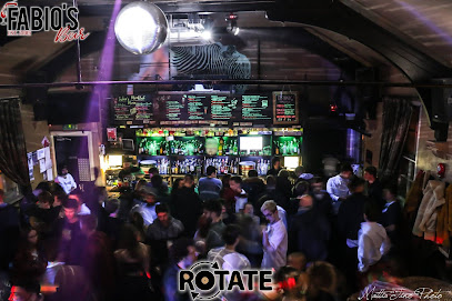
Fabio's Bar
61.1 km
Durham’s lively student nightclub and live music bar above the iconic La Spaghettata, buzzing with events and authentic local charm.
Osbournes
61.2 km
Experience Durham's vibrant nightlife at Osbournes, where craft drinks and a lively atmosphere await every visitor.
Blue Eye
61.2 km
Discover Durham's nightlife at Blue Eye Cocktail Bar, offering innovative cocktails and a lively atmosphere perfect for socializing.
Jimmy Allens
61.2 km
Dive into Durham’s iconic vaulted nightclub where free entry, cheap drinks, and lively crowds create unforgettable nights beneath Elvet Bridge.
For the vibe & atmosphere seeker
- Scenic
- Adventurous
- Tranquil
- Unique
For the architecture buff
- Landmarks
- Parks & Gardens
For the view chaser and sunset hunter
- Iconic Views
- Panoramas
- Sunrise Spots
- Sunset Spots
For the social media creator & influencer
- Instagrammable
- Photo Spots
- Selfie Spots
For the eco-conscious traveler
- Protected Area
- Nature Reserve
- Public-Transport Accessible
- Leave-No-Trace Critical
- Locally Managed
- Wildlife Habitat
For the kind of experience you’re after
- Cultural Heritage
- Nature Escape
- Adventure Photo Shoot
- Day Trip
- Weekend Getaway
For how adventurous you want the journey to be
- Easy Access
Location Audience
- Family Friendly
- Senior Friendly
- Child Friendly
- Teen Friendly
- Wheelchair Access
- Pet Friendly
- Solo Friendly
- Couple Friendly
- Solo Female Friendly


