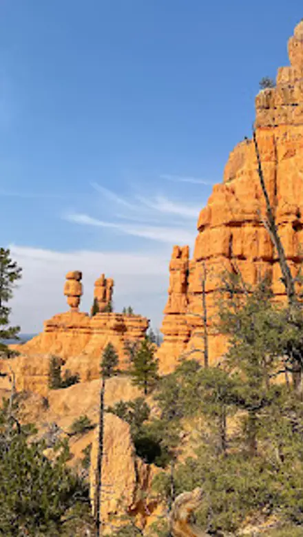
Pink Ledges Trailhead, Dixie National Forest Travel Guide
Discover the breathtaking beauty of Pink Ledges Trailhead, a hiking paradise in Utah showcasing stunning pink rock formations and diverse landscapes.
The Pink Ledges Trailhead offers a stunning hiking experience in Utah, showcasing remarkable geological formations and breathtaking landscapes. Perfect for nature lovers seeking adventure, this trail provides a blend of scenic beauty and exploration.
A brief summary to Pink Ledges Trailhead
- 5375 UT-12, Panguitch, Utah, 84759, US

Know before you go
Hi, I'm Eve. Here are a few practical things to know before exploring Pink Ledges Trailhead.
- Arrive early in the morning to enjoy cooler temperatures and fewer crowds.
- Wear sturdy hiking shoes for the best grip on rocky terrain.
- Pack a camera to capture the stunning geological formations and landscapes.
- Check the weather forecast before your hike, as conditions can change rapidly.
- Bring plenty of water and snacks, especially if planning a longer hike.
Do you manage this location?
Take control to get all the benefits, like improved information, better appearance, and stronger visibility across AI-powered discovery. Learn more about listing your business on Evendo
Activate your presenceOther nearby places you may find interesting
The closest places of the same kind, if this one is not quite what you had in mind.
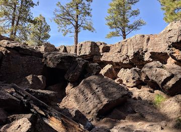
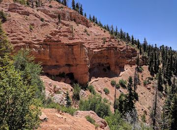
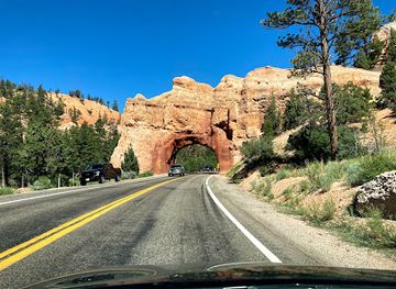
Explore Pink Ledges Trailhead on the Map
A handpicked selection of must-see spots near Pink Ledges Trailhead, mapped for you.
Getting There
-
Car
If you are starting from a central location in Dixie National Forest, head southeast on UT-12. Continue for approximately 20 miles until you reach the Pink Ledges Trailhead, which will be on your right at the address 5375 UT-12, Panguitch, UT 84759. Look for the trailhead sign along the road. Parking is available at the trailhead, but be aware that it may be limited during peak times.
-
Public Transportation
Currently, there are limited public transportation options directly to Pink Ledges Trailhead. The closest bus service is through the Greyhound or local shuttles that operate from larger towns like Cedar City or Bryce Canyon City. You can take a bus to Panguitch, and from there, you may need to arrange for a taxi or rideshare service to reach the trailhead. Be sure to check schedules in advance and be aware of potential waiting times.
-
Bicycle
For adventurous travelers, biking from nearby locations can be a scenic option. If you are within 10 miles of Panguitch, consider biking along UT-12. Be sure to wear appropriate safety gear and stay alert for vehicle traffic. There are no dedicated bike lanes, so exercise caution.
Discover more about Pink Ledges Trailhead













Your all‑in‑one travel companion app
Explore expert travel guides, compare and book tours, experiences, hotels, and more—all from the palm of your hand. Download now for seamless trip planning wherever your wanderlust takes you.


Explore More of Dixie National Forest
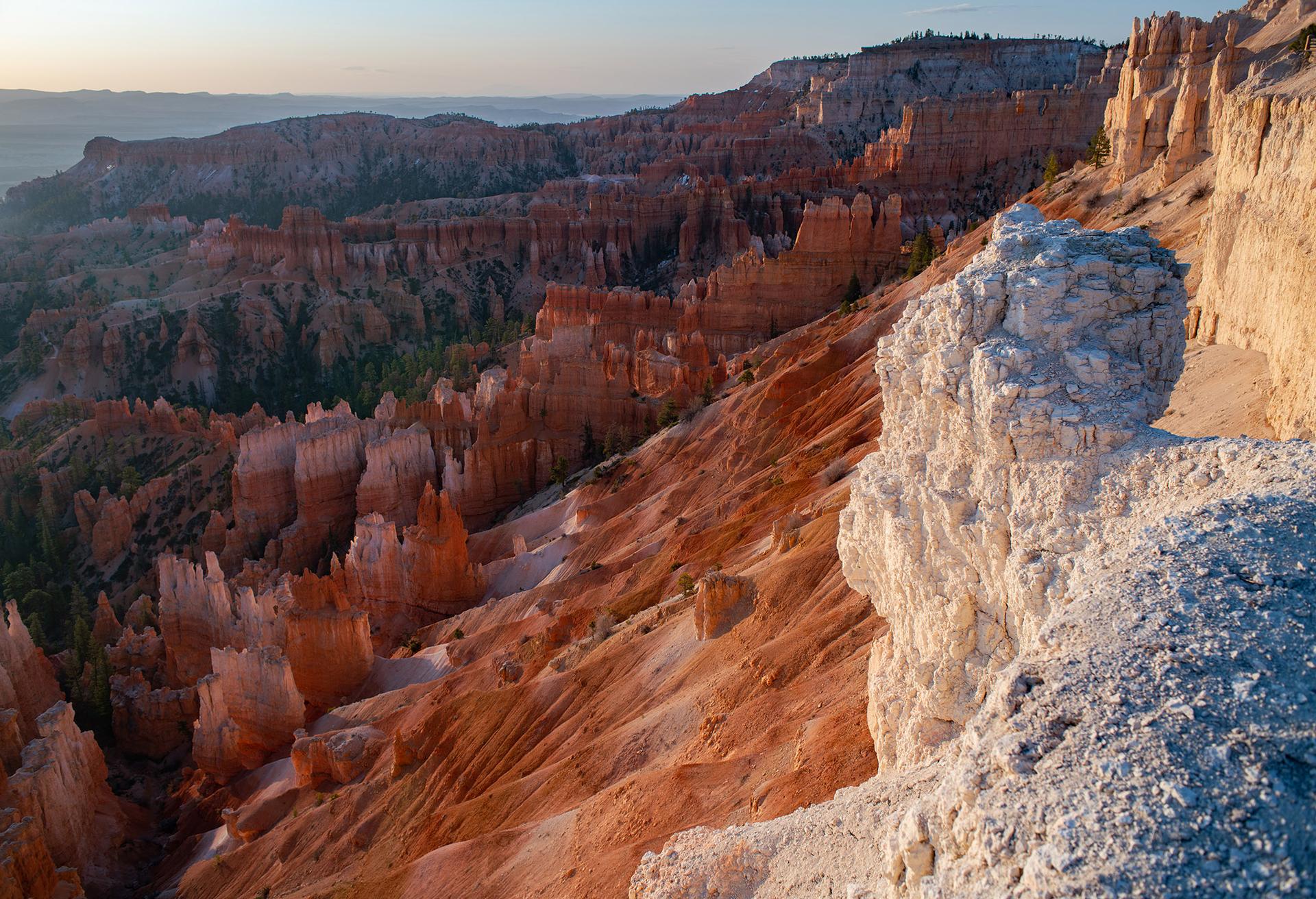
Looking beyond Pink Ledges Trailhead? Discover Dixie National Forest for broader travel guides, local hot-spots, and regional highlights.
Explore Dixie National Forest
Discover the breathtaking views and geological wonders of Agate Hill, a serene stop in Utah's stunning landscape, perfect for nature lovers and photographers.

Discover the beauty of Red Canyon Campground in Dixie National Forest, a perfect retreat for nature lovers and adventure seekers in Utah.