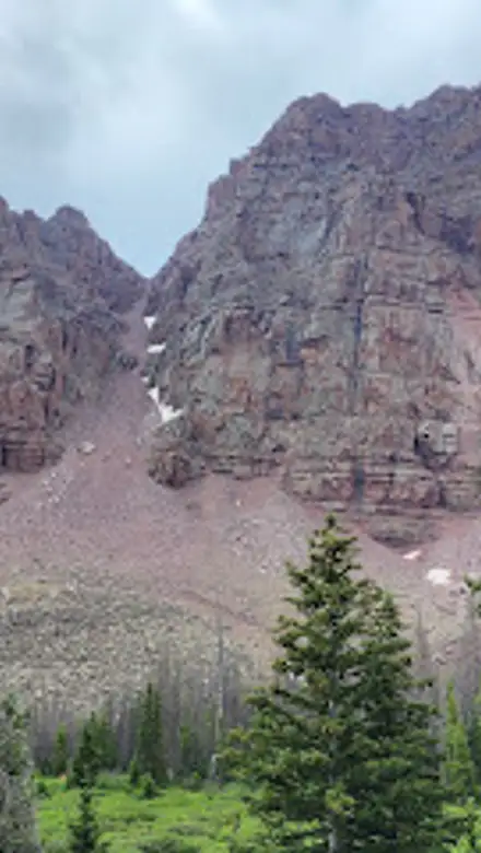
China Meadows Trailhead, Uinta Mountains Travel Guide
Explore the breathtaking scenery and diverse trails of China Meadows Trailhead, Utah's hidden gem for hiking and nature lovers.
Nestled in the breathtaking landscapes of Utah, the China Meadows Trailhead offers a serene escape for nature lovers and hiking enthusiasts. With breathtaking mountain views and diverse wildlife, this location is perfect for day hikes and nature photography.
A brief summary to China Meadows Trailhead
- Utah, US
- Click to display
- Click to display

Know before you go
Hi, I'm Eve. Here are a few practical things to know before exploring China Meadows Trailhead.
- Visit during early morning or late afternoon for the best light for photography.
- Pack layers, as temperatures can vary significantly throughout the day.
- Carry a map or download trail maps in advance, as cell service may be limited.
- Plan to stay hydrated and bring snacks to fuel your hike.
- Check trail conditions before your visit, as some paths may be affected by weather.
Do you manage this location?
Take control to get all the benefits, like improved information, better appearance, and stronger visibility across AI-powered discovery. Learn more about listing your business on Evendo
Activate your presenceOther nearby places you may find interesting
The closest places of the same kind, if this one is not quite what you had in mind.
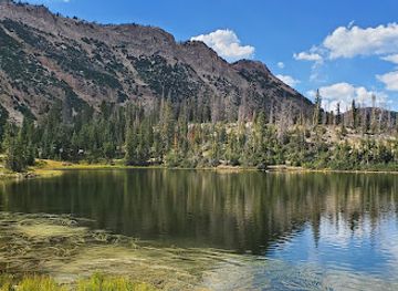
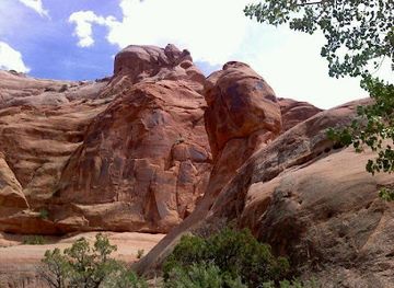
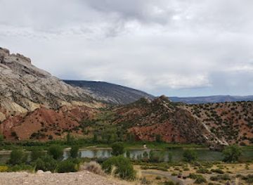
Explore China Meadows Trailhead on the Map
A handpicked selection of must-see spots near China Meadows Trailhead, mapped for you.
Getting There
-
Car
If you are traveling by car within the Uinta Mountains, start by heading towards the Mirror Lake Scenic Byway (Utah Highway 150). From Kamas, Utah, take Highway 150 eastward. After approximately 25 miles, watch for the signs indicating the China Meadows area. Turn onto the dirt road that leads to the trailhead, which is about 5 miles off the highway. The road may be rough, so a high-clearance vehicle is recommended. Once you reach the China Meadows Trailhead, you will find parking available.
-
Public Transportation + Car
For those relying on public transportation, first make your way to the nearest town with bus services, such as Kamas or Park City. From there, check local schedules or services that might take you towards the Uinta Mountains area. Once in the vicinity, you will need to arrange for a taxi or rideshare service to cover the last leg of the journey to the China Meadows Trailhead, as public transport options may be limited. Prepare for potential costs associated with taxi or rideshare services, as well as any public transport fares.
Discover more about China Meadows Trailhead
More to explore near China Meadows Trailhead













Your all‑in‑one travel companion app
Explore expert travel guides, compare and book tours, experiences, hotels, and more—all from the palm of your hand. Download now for seamless trip planning wherever your wanderlust takes you.


Explore More of Uinta Mountains

Looking beyond China Meadows Trailhead? Discover Uinta Mountains for broader travel guides, local hot-spots, and regional highlights.
Explore Uinta Mountains
Experience a spine-tingling adventure and uncover the supernatural at The Haunted Woods in Fort Duchesne, Utah, where thrills await around every corner.
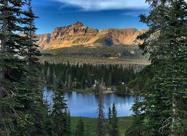
Experience the breathtaking beauty of Mirror Lake, a serene alpine gem in Utah's Uinta-Wasatch-Cache National Forest, perfect for outdoor adventures and relaxation.