
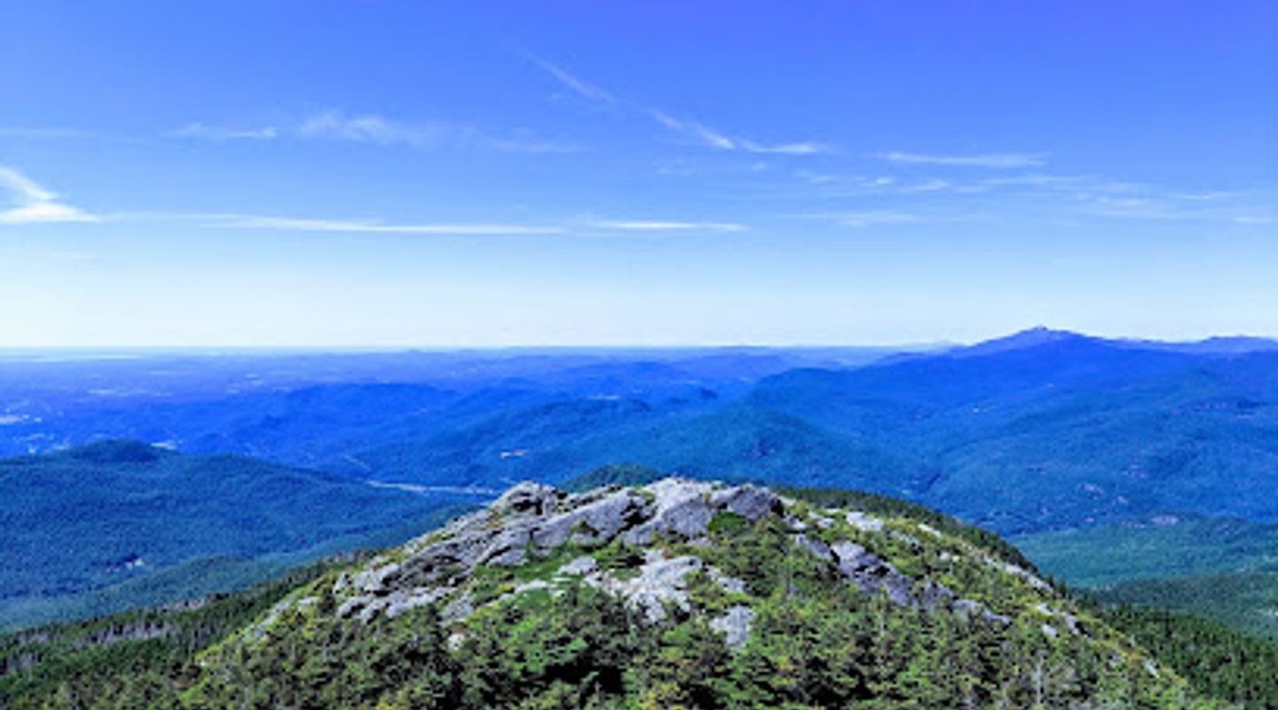
Camel's Hump, Chittenden County Travel Guide
Discover the breathtaking beauty of Camel's Hump, a premier mountain peak in Vermont offering stunning views and thrilling outdoor adventures for every enthusiast.
Camel's Hump, a prominent mountain peak in Vermont, offers breathtaking views and invigorating hiking trails, making it a must-visit destination for outdoor enthusiasts and nature lovers alike. Its unique shape and diverse ecosystems provide a picturesque backdrop for adventure seekers.
A brief summary to Camel's Hump
- Huntington, Vermont, US

Know before you go
Hi, I'm Eve. Here are a few practical things to know before exploring Camel's Hump.
- Start your hike early in the day to avoid crowds and enjoy the tranquility of nature.
- Bring plenty of water and snacks to stay energized during your hike.
- Check the weather forecast before your visit, as conditions can change rapidly in the mountains.
- Wear sturdy hiking boots for better grip and support on the trails.
- Consider visiting in the fall for stunning foliage views that enhance the landscape.
Do you manage this location?
Take control to get all the benefits, like improved information, better appearance, and stronger visibility across AI-powered discovery. Learn more about listing your business on Evendo
Activate your presenceOther nearby places you may find interesting
The closest places of the same kind, if this one is not quite what you had in mind.
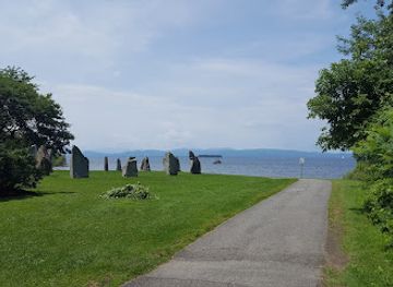

Explore Camel's Hump on the Map
A handpicked selection of must-see spots near Camel's Hump, mapped for you.
Getting There
-
Car
If you're driving from Burlington, take I-89 South. Continue for about 14 miles and take exit 11 for VT-2A towards South Burlington. Merge onto VT-2A South and follow it for approximately 9 miles. Merge onto US-2 East and then take a left onto VT-116 South. Follow VT-116 for about 10 miles until you reach the intersection with Camels Hump Road in Huntington. Turn left on Camels Hump Road, continue to the trailhead parking lot where you can find information and maps.
-
Public Transportation (Bus)
Begin your journey at the Burlington Transit Center. Take the Green Mountain Transit bus Rte. 7 towards Middlebury. You will need to transfer at the intersection of US-2 and VT-116. From there, you can catch a local shuttle or taxi service that can take you the remaining 5 miles to the Camel's Hump trailhead. Ensure to check the bus schedules in advance, as they may vary on weekends and holidays.
-
Biking
For those looking to bike, start from Burlington and take the Island Line Trail south until you reach the ferry at the end of the trail. Cross over to the mainland and continue south on the bike-friendly roads to connect with US-2. Follow the road signs toward Huntington. Be prepared for some hilly terrain as you approach Camel's Hump. Make sure to wear a helmet and bring plenty of water for this journey.
-
Hiking
If you're already near the base of Camel's Hump, the most popular trailhead is located at the end of Camels Hump Road. You can access the Burrows Trail, which is a moderate hike to the summit. The trail is well-marked, but ensure to wear appropriate hiking shoes and bring snacks and water. The hike can take about 2-3 hours depending on your pace, and the views from the top are well worth the effort!
Discover more about Camel's Hump













Your all‑in‑one travel companion app
Explore expert travel guides, compare and book tours, experiences, hotels, and more—all from the palm of your hand. Download now for seamless trip planning wherever your wanderlust takes you.


Explore More of Chittenden County
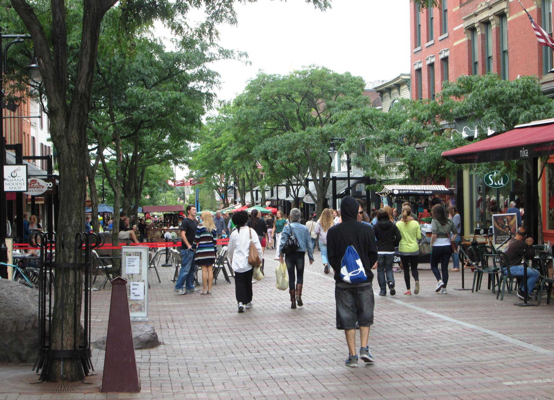
Looking beyond Camel's Hump? Discover Chittenden County for broader travel guides, local hot-spots, and regional highlights.
Explore Chittenden County
Experience exquisite New American cuisine at Hen of the Wood in Waterbury, Vermont, where local flavors meet fine dining.

Explore the serene beauty of Camel's Hump Forest Reserve in Vermont, a perfect destination for nature lovers seeking adventure and tranquility.
