

Koh-e Awpar, Paropamisadae Travel Guide
Discover the majestic Koh-e Awpar in Afghanistan: a challenging climb with rewarding panoramic views amidst the breathtaking Hindu Kush range.
Koh-e Awpar, also known as Kōh-e Āwpar, is a prominent mountain peak in the Shibar District of Bamyan Province, Afghanistan [2]. Rising to approximately 3,648 meters (11,968 feet), it's part of the Hindu Kush mountain range, offering breathtaking views and challenging climbs [2, 3].
A brief summary to Koh-e Awpar
- AF

Know before you go
Hi, I'm Eve. Here are a few practical things to know before exploring Koh-e Awpar.
- Engage a local guide in Yakawlang for assistance with the trek and to ensure safety on the trails [2].
- Be prepared for varying weather conditions; pack layers, including warm clothing, even in summer [2, 10, 11].
- Carry sufficient water and supplies, as there are limited facilities available on the mountain [2].
Do you manage this location?
Take control to get all the benefits, like improved information, better appearance, and stronger visibility across AI-powered discovery. Learn more about listing your business on Evendo
Activate your presenceOther nearby places you may find interesting
The closest places of the same kind, if this one is not quite what you had in mind.
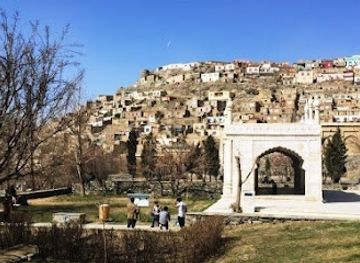
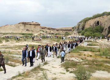
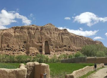
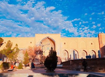

Explore Koh-e Awpar on the Map
A handpicked selection of must-see spots near Koh-e Awpar, mapped for you.
Getting There
-
Public Transportation
To get to Koh-e Awpar via public transportation, start at the main bus station in Paropamisadae [2]. Look for a shared taxi or minibus heading to Yakawlang. The fare is usually around 200 AFN (Afghan Afghani) per person [2]. The journey takes about 1 to 1.5 hours [2]. Once in Yakawlang, you can either hire a local taxi to take you to the base of Koh-e Awpar for around 500 AFN or walk the remaining 20 km [2]. If you choose to walk, be prepared for a long trek, which will take several hours [2].
-
Car
To reach Koh-e Awpar by car, start from the main town center of Paropamisadae [2]. Head southeast on the main road, following signs toward the direction of Bamyan [2]. After approximately 30 km, you will reach the small town of Yakawlang [2]. Here, make a stop to refuel and gather supplies if needed [2]. From Yakawlang, continue southeast for about 20 km until you reach the base of Koh-e Awpar [2]. There is no formal parking area, so you may need to park along the roadside [2]. From here, you can begin your hike towards the peak [2].
Discover more about Koh-e Awpar













Your all‑in‑one travel companion app
Explore expert travel guides, compare and book tours, experiences, hotels, and more—all from the palm of your hand. Download now for seamless trip planning wherever your wanderlust takes you.


Explore More of Paropamisadae
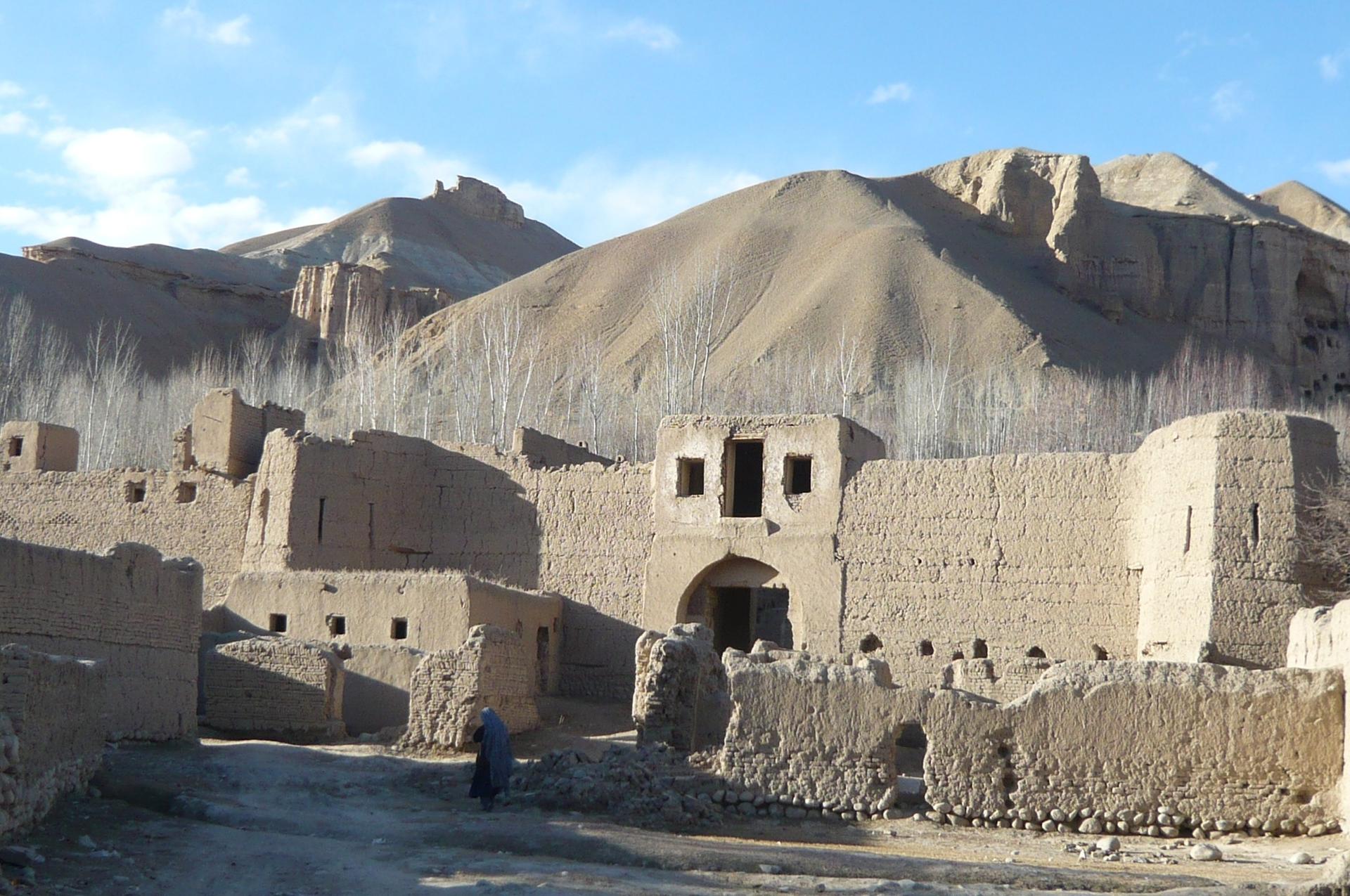
Looking beyond Koh-e Awpar? Discover Paropamisadae for broader travel guides, local hot-spots, and regional highlights.
Explore Paropamisadae
Explore the ancient Kakrak Valley Caves in Bamyan, Afghanistan, a historical landmark showcasing Buddhist artistry amidst stunning Silk Road landscapes.
Discover the Red City of Bamiyan, an ancient Silk Road fortress with panoramic views and a history of empires, sieges, and legends.
