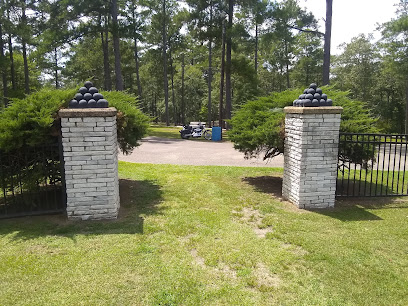
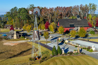
Pinhoti Trail - Southern Terminus
Embark on a scenic and historic hike through Alabama's Appalachian foothills at the Pinhoti Trail's southern gateway.
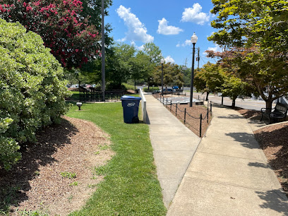
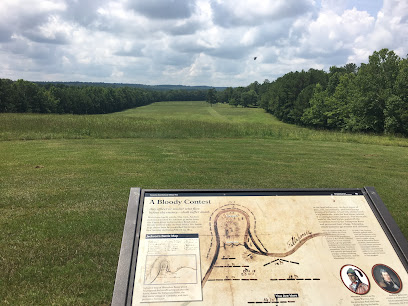
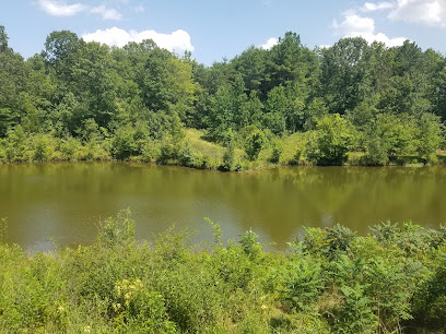
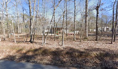
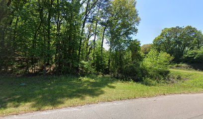
The Pinhoti Trail's southern terminus, near Sylacauga, Alabama, marks the beginning of a 335-mile hiking adventure through the heart of the Southern Appalachian Mountains [2, 10]. Starting near Flagg Mountain, the trail offers a diverse landscape from rolling foothills to dense forests, inviting hikers of all levels to experience its beauty and challenges [5].
A brief summary to Pinhoti Trail - Southern Terminus
- CC Camp Rd, Sylacauga, Alabama, 35151, US
Local tips
- Check the weather forecast before you go, as conditions can change rapidly in the mountains [7].
- Bring plenty of water, especially during warmer months, as water sources can be unreliable [7].
- Wear sturdy hiking boots to navigate the varied terrain, including rocky sections [6].
- Be aware of wildlife, including snakes and bears, and take necessary precautions [4].
Getting There
-
Driving
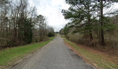
To reach the Pinhoti Trail's southern terminus, navigate to CC Camp Road, Sylacauga, AL 35151. From Birmingham, it's approximately a 90-minute drive [5]. Parking is available near Weogufka State Forest [5]. Be prepared for a 7-mile drive on a bumpy dirt road to the trailhead at the foot of Flagg Mountain [9]. Ensure your vehicle is suitable for unpaved roads.
-
Public Transport
For those using public transport, take a Greyhound bus to Sylacauga, AL [7]. From there, arrange a taxi or rideshare to the trailhead on CC Camp Road, approximately a 30-minute drive [5, 7]. Expect to pay around $30-$50 for the taxi or rideshare [5].
Discover more about Pinhoti Trail - Southern Terminus
Iconic landmarks you can’t miss
Pinhoti Trail - Southern Terminus
0.0 km
Embark on a scenic and historic hike through Alabama's Appalachian foothills at the Pinhoti Trail's southern gateway.
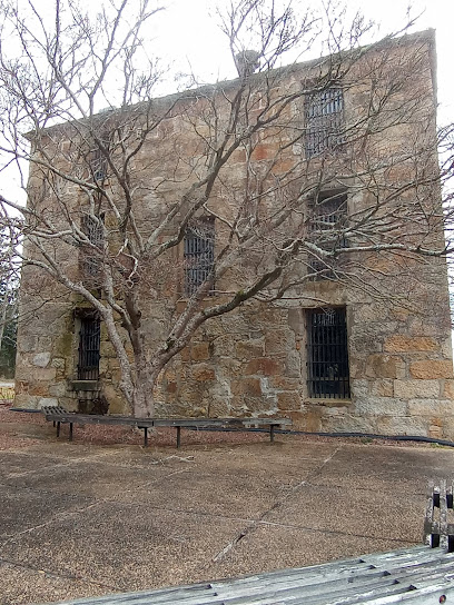
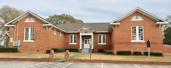
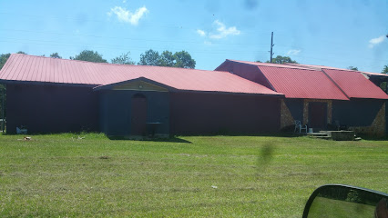
Old Rock Jail
15.1 km
Discover the Old Rock Jail, a historical gem in Rockford, Alabama, showcasing 19th-century architecture and rich local heritage.
Confederate Memorial Park
30.6 km
Explore Confederate Memorial Park: A serene blend of history and nature in Alabama, featuring memorials, trails, and a captivating museum.
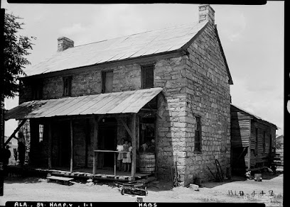
Old Rock House
40.1 km
Discover Alabama's architectural heritage at the Old Rock House, a unique and historic 1835 stone dwelling in Harpersville.
Alabama First Penitentiary Historical Marker
49.2 km
Explore the Alabama First Penitentiary Historical Marker in Wetumpka, a significant site that reveals the fascinating history of Alabama's penal system.
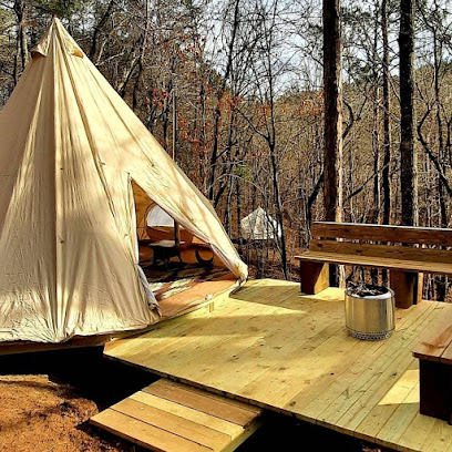
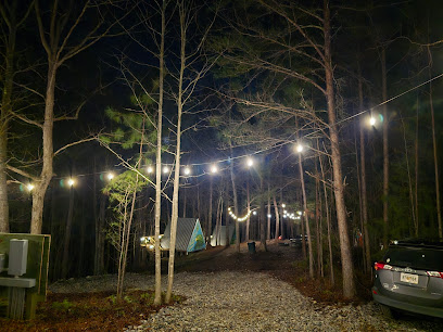
Parksland Retreat
49.7 km
Reconnect with nature at this unique clothing-optional retreat in Alabama's Talladega National Forest. Camping, cabins, creek access, and community.
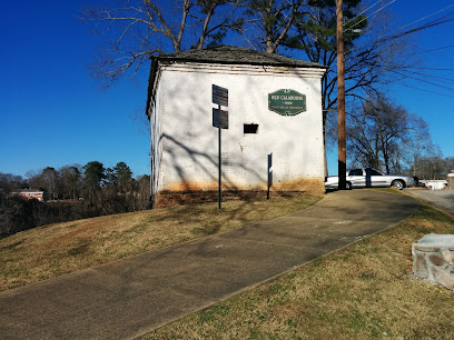
Old Calaboose
50.1 km
Explore Wetumpka's oldest jail, a relic of the 1800s on the Coosa River, reflecting the city's enduring spirit and rich history.
Pinhoti Trail Chandler Springs
51.7 km
Discover the natural beauty of Pinhoti Trail Chandler Springs in Talladega, Alabama, offering hiking, wildlife, and serene outdoor experiences.
Bohamia
52.0 km
Escape to Bohamia: Glamping, RV & Primitive Camping in Alabama's Talladega National Forest. Miles of trails, water features, and natural beauty await!
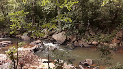
Rob Roy Falls
52.6 km
Experience the serene beauty of Rob Roy Falls in Talladega, Alabama, where nature's tranquility meets stunning scenic vistas.
Davey Allison Memorial
56.0 km
Explore the Davey Allison Memorial in Talladega, Alabama - a heartfelt tribute to NASCAR's legacy and a must-see for racing enthusiasts.
Silk Stocking District (Talladega)
56.1 km
Explore the Silk Stocking District in Talladega, Alabama, where history meets Southern charm in beautifully preserved streetscapes.
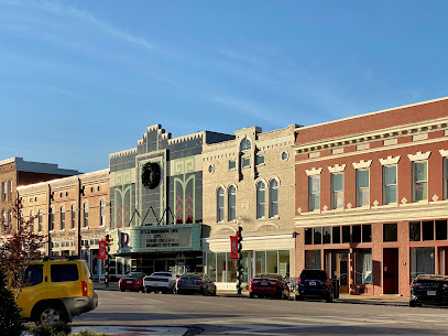
Ritz Theatre
56.3 km
Discover the magic of The Ritz Theatre in Talladega, a historic venue offering captivating performances and a rich cultural experience.
Tallapoosee Historical Museum
56.8 km
Discover Tallapoosa County's past at the Tallapoosee Historical Museum in Dadeville, AL. Explore local history and heritage today!
Horseshoe Bend National Military Park
57.3 km
Discover the beauty and history of Horseshoe Bend National Military Park in Alabama, a serene destination for nature lovers and history enthusiasts alike.
Unmissable attractions to see
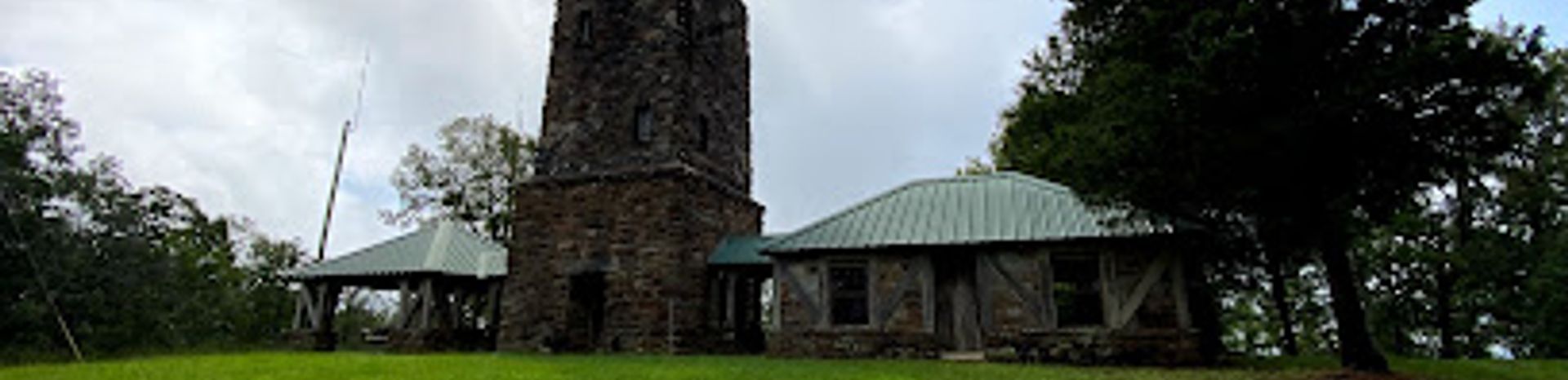
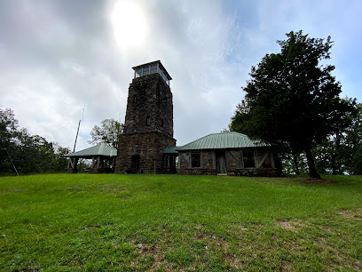
Flagg Mountain Tower
0.9 km
Discover panoramic views and hiking trails at Flagg Mountain Tower, the Pinhoti Trail's southern gateway in Weogufka State Forest.

Butler-Harris Rainwater Museum
33.9 km
Discover Victorian life at Childersburg's Butler-Harris Rainwater Museum, a preserved 1894 home showcasing local history and family stories.

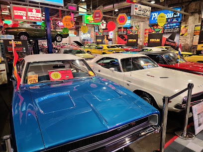
Wellborn Musclecar Museum
36.7 km
Experience the thrill of classic American muscle cars at the Wellborn Musclecar Museum, showcasing a stunning collection in a vintage dealership setting.
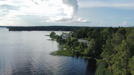
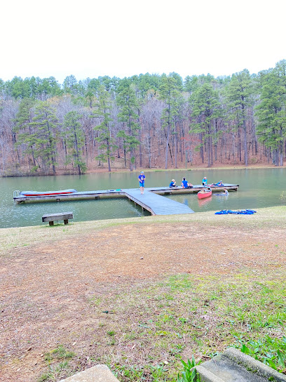
Jordan Lake
36.8 km
Discover Lake Jordan: Alabama's premier destination for fishing, boating, and outdoor adventures on the scenic Coosa River.
Majestic Caverns
37.7 km
Discover Alabama's Majestic Caverns: A historic natural wonder with stunning formations, guided tours, and family fun above and below ground.
Heart of Dixie Railroad Museum
40.0 km
Explore Alabama's railroad history at the Heart of Dixie Railroad Museum in Calera: vintage trains, scenic rides, and family-friendly events!
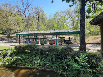
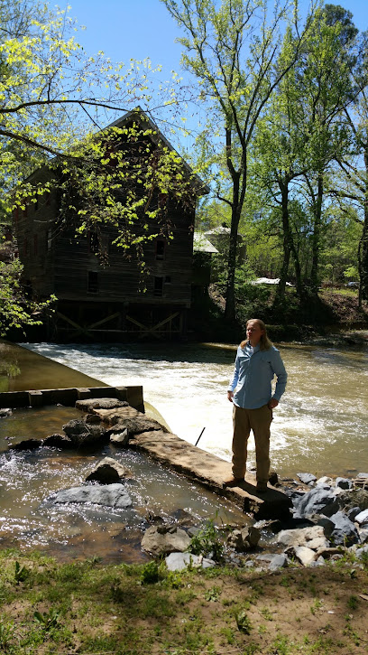
Kymulga Grist Mill Park
40.4 km
Discover a historic grist mill and covered bridge in a scenic park setting, offering tours, nature trails, and camping in rural Alabama.
Wind Creek State Park
40.7 km
Discover Alabama's natural beauty at Wind Creek State Park on Lake Martin: camping, fishing, hiking, and endless outdoor adventures await!
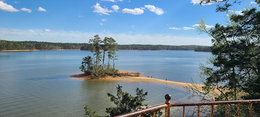
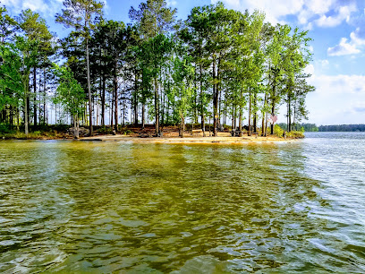
Pineywood Island
42.2 km
Discover Pineywood Island: A serene Lake Martin escape with a sandy beach, perfect for swimming, picnics, and tranquil relaxation.
Russell Crossroads
44.1 km
Experience the charm of a classic town center with modern amenities at Russell Crossroads, the heart of Lake Martin, Alabama.
Children's Harbor at Lake Martin
44.2 km
A compassionate lakeside retreat offering hope, healing, and recreation for children and families facing life's challenges on beautiful Lake Martin.
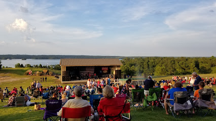
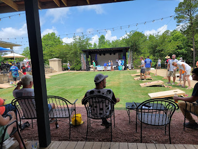
Lake Martin Amphitheater
45.4 km
Experience live music under the stars at Lake Martin Amphitheater, a scenic outdoor venue hosting diverse events on the shores of Lake Martin.
American Village Citizenship Trust
48.3 km
Experience American history come to life at the American Village Citizenship Trust in Montevallo, Alabama. An engaging and educational destination.
The American Village
48.4 km
Step back in time at this unique living history museum and experience the American Revolution in Montevallo, Alabama.

Elmore County Black History Museum
48.6 km
Discover the compelling narratives of African Americans in Elmore County at this Wetumpka museum, a treasure trove of history and resilience.
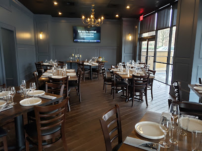
Essential places to dine
The Landing at Parker Creek
37.7 km
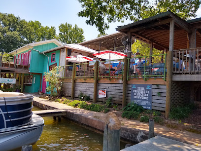
Experience delightful American cuisine with stunning lakeside views at The Landing at Parker Creek in Alabama.
Kowaliga Restaurant
43.7 km
Discover Kowaliga Restaurant: A lakeside retreat offering delectable American cuisine with stunning views in Alexander City, Alabama.
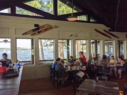
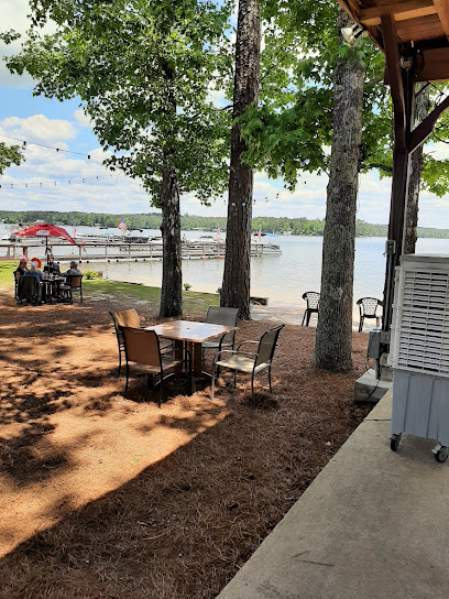
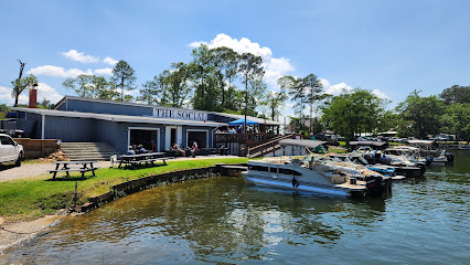
The Social at Lake Martin
48.1 km
Experience delightful American cuisine with stunning lake views at The Social at Lake Martin - where every meal is a celebration.
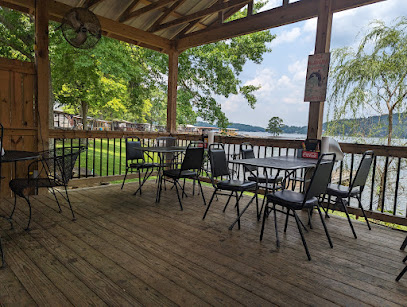
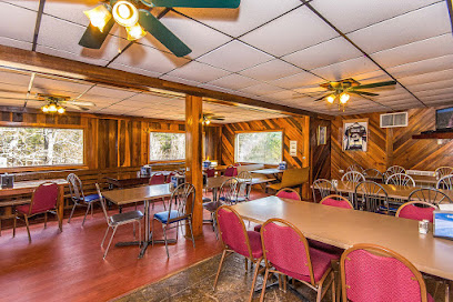
The Back Porch
54.0 km
Experience delightful American cuisine at The Back Porch in Talladega – where great food meets breathtaking lakeside views.
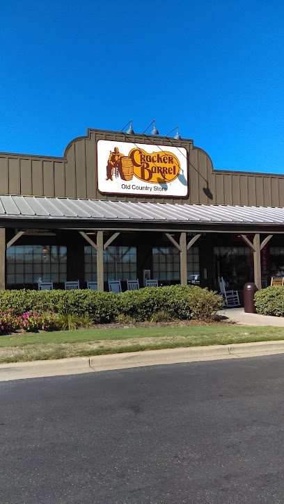
Cracker Barrel Old Country Store
54.1 km
Experience authentic Southern dining at Cracker Barrel Old Country Store in Prattville with delicious comfort food and charming country decor.
The Cotton Patch
54.4 km
Discover Southern hospitality at The Cotton Patch in Talladega – where delicious American cuisine meets a warm and inviting atmosphere.

El Amigo Grill 4 Mexican Restaurant
54.6 km
Discover authentic Mexican cuisine at El Amigo Grill 4 in Prattville, AL – where flavor meets tradition in every bite!
Chick-fil-A
54.7 km
Experience delicious Southern-style fast food at Chick-fil-A in Prattville—where great taste meets warm hospitality.
Chuckwalla's Pizza at Chuck's Marina
54.7 km
Experience delightful pizza with stunning lakeside views at Chuckwalla's Pizza in Chuck's Marina - a must-visit culinary haven in Dadeville.
Zee's SoulStreet Cafe
55.0 km
Experience authentic soul food at Zee's SoulStreet Cafe in Prattville, Alabama – where comfort meets flavor in every bite.
Los Toreros Mexican Grill
55.0 km
Experience authentic Mexican cuisine at Los Toreros Mexican Grill in Prattville, Alabama – where every dish is crafted with passion and tradition.
The Grille
55.5 km
Experience culinary excellence at The Grille in Pelham - where local flavors meet exceptional dining.
Matehuala Mexican Restaurant
56.2 km
Discover authentic Mexican cuisine at Matehuala Mexican Restaurant in Talladega - where flavor meets hospitality.
Copper’s Bar & Grill
56.7 km
Experience the rich flavors of American cuisine at Copper's Bar & Grill in Dadeville – where every meal tells a story.
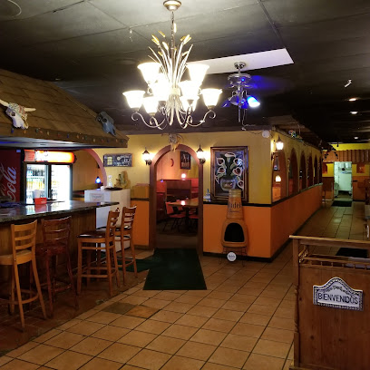
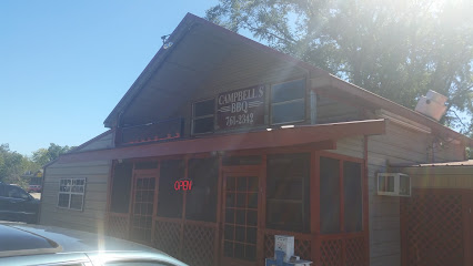
Campbells BBQ
56.7 km
Experience the best Southern barbecue at Campbells BBQ in Talladega - where smoky flavors meet Southern hospitality.
Markets, malls and hidden boutiques
Walmart Supercenter
23.3 km
Discover the convenience of Walmart Supercenter in Sylacauga, your go-to destination for groceries, electronics, and unique local products.

Lake Martin Vendors Market
37.6 km
Explore the vibrant Lake Martin Vendors Market, where local crafts and fresh produce come together in a memorable shopping experience in Alabama.

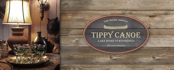
Tippy Canoe
38.1 km
Explore Tippy Canoe in Alexander City for unique home goods, tasteful decor, and a friendly shopping experience that captures the essence of Alabama.
Lake Martin Liquidation
39.4 km
Explore Lake Martin Liquidation for unique finds and unbeatable bargains in the heart of Alexander City, Alabama, surrounded by scenic beauty.
Cal ES
41.2 km
Explore Cal ES in Calera, Alabama - a charming gift shop filled with unique souvenirs and local crafts that capture the spirit of the South.
Catherine's Market
44.1 km
Discover the charm of Catherine's Market in Alexander City, where fresh produce, quality meats, and delightful café treats await every food lover.
BamaBoujeeBoutique
44.4 km
Explore BamaBoujeeBoutique for trendy clothing and accessories in Montevallo, Alabama, where fashion meets affordability and style.
Lake Martin Mini Mall
45.0 km
Explore Lake Martin Mini Mall for unique gifts and charming home decor that reflect the beauty of Alabama's Lake Martin region.
Children's Harbor Treasures and Thrift Store
45.2 km
Uncover unique finds and support a noble cause at Children's Harbor Treasures and Thrift Store in Eclectic, Alabama.
Kowaliga General Store
45.3 km
Discover Kowaliga General Store in Eclectic, Alabama – a charming gift shop, coffee haven, and pie paradise all in one.
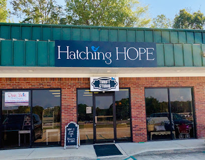
The Marketplace by Hatching Hope
49.6 km
Explore The Marketplace by Hatching Hope in Alabaster, AL, where unique gifts and local artistry come together for an unforgettable shopping experience.
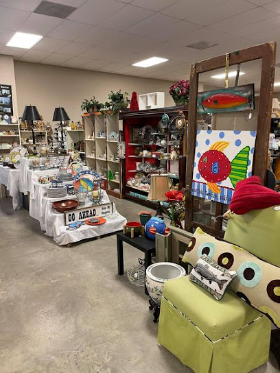
All Things Fun and Vintage
50.3 km
Explore a charming gift shop brimming with vintage treasures, unique souvenirs, and handmade crafts at All Things Fun and Vintage.

Bait shop near Diddys
53.4 km
Experience the heart of Dadeville at the Bait Shop near Diddys, your go-to spot for fishing gear and local expertise in Alabama's beautiful lakes.
Lake Martian Screen Printing & Apparel
54.2 km
Discover custom apparel and local artistry at Lake Martian Screen Printing & Apparel in Dadeville, Alabama - your go-to for unique souvenirs.
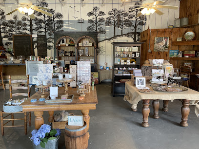
Summer Shack Designs by Cook's Market
54.4 km
Explore a vibrant gift shop in Dadeville, AL offering unique decals, interior decor, and stationery that captures the spirit of Southern craftsmanship.

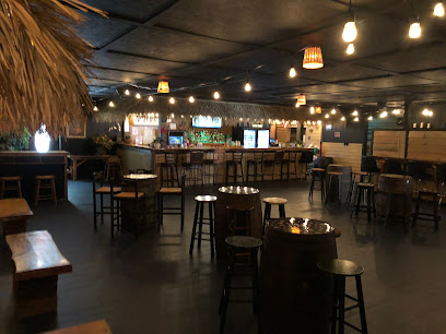
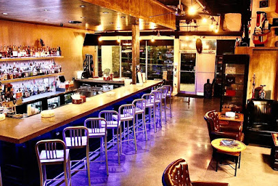
Essential bars & hidden hideouts
Sharp Shooters
38.9 km
Discover the vibrant atmosphere and local flavors at Sharp Shooters, a must-visit bar in Alexander City for every traveler.
Peanut Point
45.2 km
Discover Peanut Point in Alexander City, AL – where delicious food meets warm Southern hospitality in a cozy restaurant setting.
Nibblers Float Thru-Grill
49.7 km
Experience delightful dining with stunning lakeside views at Nibblers Float Thru-Grill in Alexander City, Alabama.
Treehouse Lodge
50.2 km
Discover the perfect blend of delicious grilled cuisine and serene natural beauty at Treehouse Lodge in Alexander City, Alabama.
Alabama Breeze Caribbean Bar & Grill
50.4 km
Savor authentic Caribbean cuisine in the heart of Alabama at Alabama Breeze Caribbean Bar & Grill, where vibrant flavors meet a laid-back atmosphere.
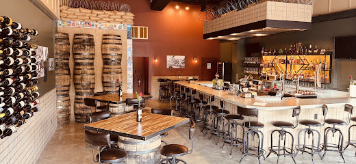
The Wine Bunker - Whiskey & Wine Bar
52.4 km
Discover The Wine Bunker, the perfect spot in Alabaster, Alabama, for whiskey and wine lovers seeking a cozy atmosphere and exceptional selections.
Poplar Dawg's Eatery
54.5 km
Savor the best of American cuisine at Poplar Dawg's Eatery, where tasty sandwiches and hearty meals await in Dadeville, Alabama.
Martin's @ Lake Martin
54.6 km
Discover the lively atmosphere of Martin's @ Lake Martin, where stunning lake views meet refreshing drinks and live music for an unforgettable experience.
El Santuario
54.7 km
Discover El Santuario in Pelham, Alabama - the perfect bar for vibrant nightlife, delicious drinks, and unforgettable dance parties.

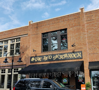
The Red Shamrock pub
55.0 km
Experience the vibrant atmosphere of The Red Shamrock, Birmingham's favorite sports bar and Irish pub, featuring live music and delicious pub food.
Lil Bits Tavern
55.7 km
Discover the charm of Lil Bits Tavern, Pelham's favorite bar for local drinks and delicious bites in a cozy atmosphere.
Rio's Bar & Grill
55.8 km
Experience the vibrant flavors and inviting atmosphere at Rio's Bar & Grill, a must-visit grill destination in Helena, Alabama.
Bluffs Daiquiri Bar
55.9 km
Experience the best daiquiris and breathtaking views at Bluffs Daiquiri Bar, the perfect lakeside retreat in Dadeville, Alabama.
The Humidor Room cigar & Scotch Bar
56.4 km
Discover the perfect blend of elegance and relaxation at The Humidor Room, Birmingham's premier cigar and Scotch bar, where every visit is a refined experience.
The Anvil Pub and Grill
56.6 km
Experience the best of Birmingham dining at The Anvil Pub and Grill, where delicious food meets a friendly atmosphere.
Nightclubs & after hour spots
Lake Martin
43.7 km
Explore the serene beauty of Lake Martin in Alabama, a perfect destination for outdoor fun, relaxation, and stunning natural scenery.

Elks Lodge
55.5 km
Experience the warmth of community at Elks Lodge in Talladega, Alabama, where friendships flourish and local traditions come alive.
Magdalandia
57.8 km
Discover the vibrant nightlife at Magdalandia in Prattville, Alabama, where music, dance, and unforgettable moments await.
Prattville Promenaders
58.0 km
Discover the lively atmosphere of Prattville Promenaders, where dance meets community in an exciting club setting in Alabama.
MB Lounge and Grill LLC
63.5 km
Experience the vibrant atmosphere and delicious cuisine at MB Lounge and Grill LLC, a must-visit restaurant and lounge in Talladega, Alabama.
Sage
65.1 km
Experience the sophistication and comfort of Sage, Montgomery's premier lounge offering creative cocktails and a vibrant atmosphere for all visitors.

Mingles Lounge
65.7 km
Experience Montgomery's nightlife at Mingles Lounge, where great drinks, sports, and a welcoming atmosphere await.

Lower Lounge
66.0 km
Experience Montgomery's vibrant nightlife at Lower Lounge, where expertly crafted cocktails and a stylish atmosphere await you.
AlleyBAR
66.0 km
Discover AlleyBAR: Montgomery's premier live music venue offering vibrant nightlife, local brews, and an unforgettable atmosphere for tourists.

Aviator Bar
66.0 km
Experience the vibrant nightlife at Aviator Bar in Montgomery, where signature cocktails meet live entertainment and a lively atmosphere.

The Alley
66.0 km
Experience Montgomery's nightlife at The Alley, a vibrant district filled with bars, restaurants, and live music for an unforgettable evening.
The Kove
66.1 km
Discover The Kove, a lively bar in Montgomery, AL, offering great drinks, live music, and a vibrant atmosphere for an unforgettable night out.

The Exchange Bar
66.1 km
Experience the charm of Montgomery at The Exchange Bar, a cozy lounge offering craft cocktails, live music, and a warm atmosphere.
VIP Hookah Lounge
66.1 km
Discover the lively ambiance and premium hookah offerings at VIP Hookah Lounge, the perfect spot for relaxation and socializing in Montgomery.

Bar Attico
66.2 km
Discover the art of mixology at Bar Attico, Montgomery's premier cocktail bar, where every sip is a celebration of flavor and creativity.