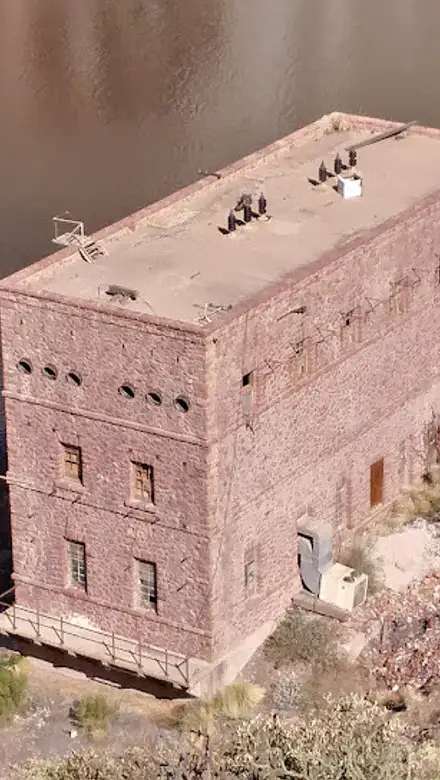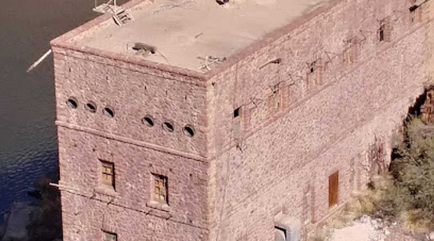
Theodore Roosevelt Dam, Maricopa County Travel Guide
Discover the Theodore Roosevelt Dam: A historic landmark offering breathtaking views and a glimpse into Arizona's engineering past.
The Theodore Roosevelt Dam, completed in 1911 and later modified, is a historic landmark in Arizona. Forming the vast Roosevelt Lake, it provides irrigation, water supply, flood control, and hydroelectric power. Visitors can explore the dam's scenic overlooks and learn about its construction and impact on the region.
A brief summary to Theodore Roosevelt Dam
- Roosevelt, Arizona, 85545, US
- Click to display
- Click to display

Know before you go
Hi, I'm Eve. Here are a few practical things to know before exploring Theodore Roosevelt Dam.
- Visit early in the morning or late afternoon for the best lighting for photography and fewer crowds.
- Check the weather forecast before your visit, as conditions can change rapidly in the Tonto National Forest.
- Bring water and snacks, especially if you plan to hike any of the nearby trails.
- Take time to read the informational plaques around the dam to learn about its history and construction.
Do you manage this location?
Take control to get all the benefits, like improved information, better appearance, and stronger visibility across AI-powered discovery. Learn more about listing your business on Evendo
Activate your presenceOther nearby places you may find interesting
The closest places of the same kind, if this one is not quite what you had in mind.
Explore Theodore Roosevelt Dam on the Map
A handpicked selection of must-see spots near Theodore Roosevelt Dam, mapped for you.
Getting There
-
Driving
From Phoenix, take US-60 E towards Globe. Continue for approximately 70 miles, then take the exit for AZ-188 N. Follow AZ-188 N for about 27 miles; the dam will be on your left. There is no fee to access the dam area. Parking is available at the Theodore Roosevelt Dam Overlook. Be aware that the Apache Trail (AZ-88) is a narrow, winding road that requires caution.
-
Public Transport
Public transportation to Theodore Roosevelt Dam is limited. The best option is to take a Greyhound bus or a local shuttle to Payson, AZ. From Payson, arrange for a taxi or rideshare service (Uber/Lyft) to the dam, as there is no public transit directly to the dam. Expect a taxi fare of $50-$70 for a one-way trip from Payson.
Discover more about Theodore Roosevelt Dam













Your all‑in‑one travel companion app
Explore expert travel guides, compare and book tours, experiences, hotels, and more—all from the palm of your hand. Download now for seamless trip planning wherever your wanderlust takes you.


Explore More of Maricopa County
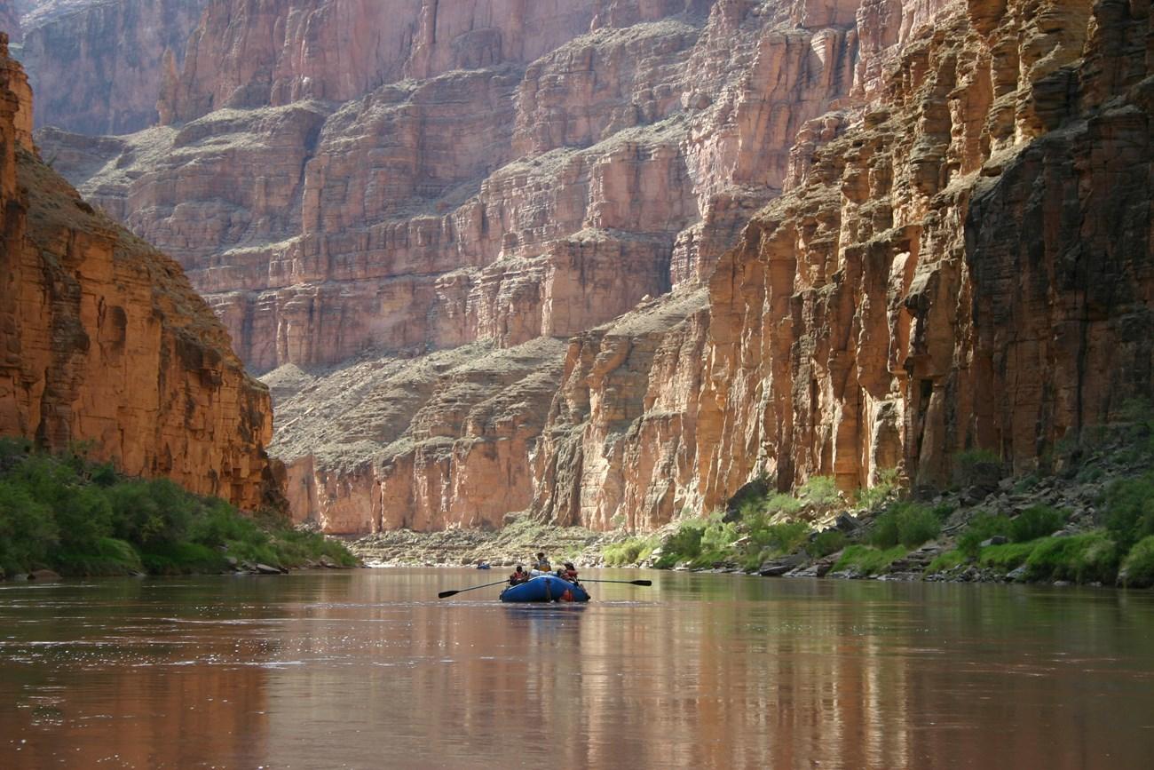
Looking beyond Theodore Roosevelt Dam? Discover Maricopa County for broader travel guides, local hot-spots, and regional highlights.
Explore Maricopa County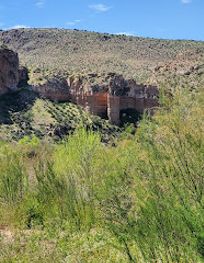
Discover Arizona's hidden gem: the Salt River Canyon Wilderness, offering rugged beauty, thrilling rafting, and unique desert landscapes.
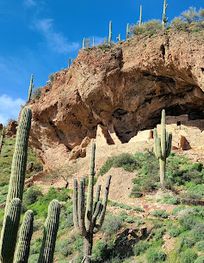
Discover the ancient Salado culture at Tonto National Monument, where remarkably preserved cliff dwellings offer a glimpse into Arizona's prehistoric past.