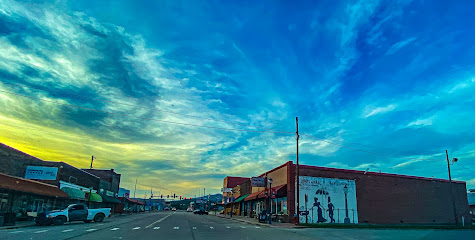
Black Fork Mountain Trail: A Rugged Wilderness Escape
Hike the challenging Black Fork Mountain Trail in Arkansas' Ouachita National Forest for stunning views and a true wilderness experience.
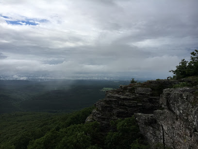
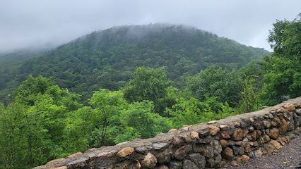
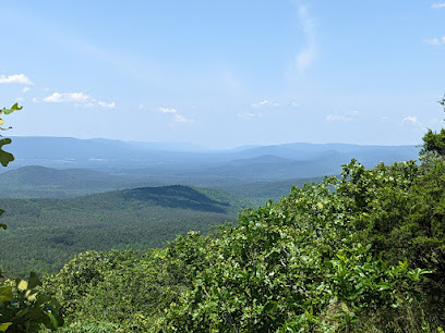
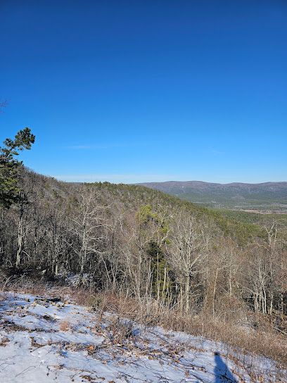
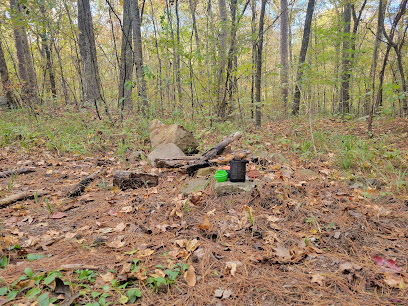
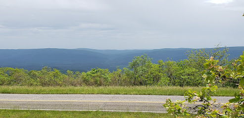
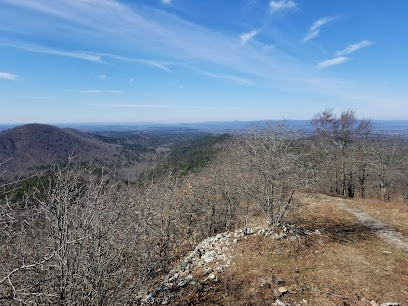
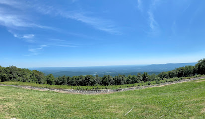
The Black Fork Mountain Trail offers a challenging hike through the Ouachita National Forest, straddling the Arkansas-Oklahoma border. Known for its rugged terrain, panoramic views, and unique geological features, this trail provides a rewarding experience for adventurous hikers and backpackers.
A brief summary to Black Fork Mountain Trail
- 1562-1586 US-270, Mena, Arkansas, 71953, US
Local tips
- Bring plenty of water, as water sources are scarce along the trail, especially during drier months.
- Wear sturdy hiking boots and long pants to protect against the rugged terrain and dense vegetation.
- Hike during the winter months to avoid overgrown vegetation, including briars.
- Be prepared for challenging route finding, especially in rocky areas, and watch for trail markers.
- Inform someone of your hiking plans and expected return time, as the area is remote.
Getting There
-
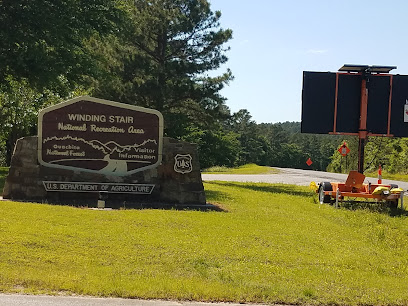
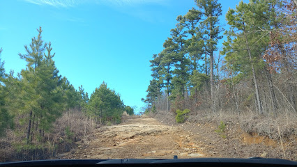
Driving
The Black Fork Mountain Trailhead is located off Highway 270, west of Mena, Arkansas. From Mena, take Highway 71 north to Acorn. At Acorn, turn west onto Highway 270 and drive approximately 6 miles. The parking lot for the trailhead will be on your right. Parking is free.
-
Walking
From the parking area, the trail begins by crossing a footbridge over the Ouachita River. Then, cross the railroad tracks and look for blue blazes marking the Ouachita Trail's re-entry into the forest. After approximately 0.9 miles, the Black Fork Mountain Trail intersects with the Ouachita Trail; turn left to follow the white blazes.
Discover more about Black Fork Mountain Trail
Iconic landmarks you can’t miss
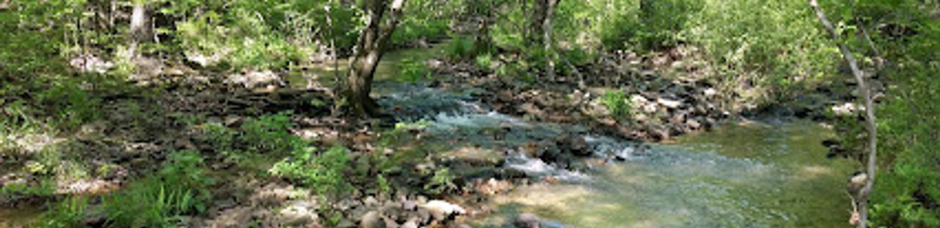
Beech Creek National Scenic Area
21.4 km
Explore Beech Creek National Scenic Area: A breathtaking national forest paradise in Oklahoma perfect for outdoor adventures and serene getaways.

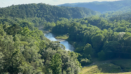
Ouachita Mountains
26.4 km
Explore the breathtaking beauty of the Ouachita Mountains in Oklahoma, where adventure meets serenity in a stunning natural landscape.
Oklahoma Ranger District
30.8 km
Explore the Oklahoma Ranger District, a serene visitor center and gateway to the stunning Ouachita National Forest's natural beauty and outdoor adventures.
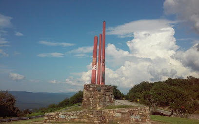
Three Sticks Monument
32.1 km
Discover the Three Sticks Monument in Hodgen, Oklahoma, an intriguing historical landmark that offers insight into the region's cultural heritage.
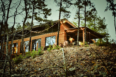
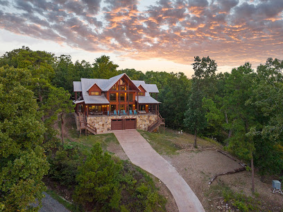
Kiamichi Mountain Villa
34.1 km
Discover the tranquility of Kiamichi Mountain Villa, a perfect mountain cabin retreat with stunning views and luxurious amenities in the heart of nature.
Sugar Creek Vista Overlook
37.3 km
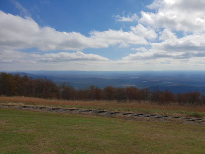
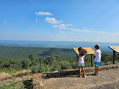
Enjoy panoramic views of the Ouachita National Forest from this historic overlook built by the Civilian Conservation Corps in 1935.
A To Z Guest Ranch
37.9 km
Discover the beauty of Smithville, Oklahoma, at A To Z Guest Ranch, where relaxation meets adventure in a stunning natural setting.
Buckeye Vista Overlook
39.8 km
Historic scenic overlook on the Talimena Scenic Drive, offering panoramic views of the Ouachita Mountains and Little Missouri River headwaters.
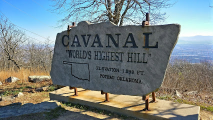
Cavanal Hill
54.2 km
Experience the breathtaking beauty of Cavanal Hill, the highest hill in the world, and enjoy stunning views of Oklahoma's landscape.
Kiamichi Mountains Christian Mission
59.0 km
Experience spiritual renewal and natural beauty at Kiamichi Mountains Christian Mission in Oklahoma's stunning Kiamichi Mountains.
Kiamichi Mountains
62.6 km
Explore the breathtaking Kiamichi Mountains in Oklahoma, a hidden gem for outdoor enthusiasts and nature lovers seeking stunning landscapes and adventure.
DeQueen Lake
62.8 km
Experience the tranquility of DeQueen Lake in Arkansas, a perfect getaway for fishing, boating, and enjoying nature's beauty.
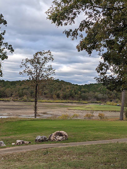
Cedar Creek Golf Course
65.4 km
Discover Cedar Creek Golf Course: Experience scenic golfing in Broken Bow, Oklahoma with lush fairways and beautiful landscapes.
Broken Bow Lake
65.7 km
Experience the breathtaking beauty and tranquility of Broken Bow Lake, Oklahoma's premier destination for outdoor adventures and relaxation.
Beavers Bend Dam
68.8 km
Experience the breathtaking beauty of Beavers Bend Dam in Broken Bow, Oklahoma - a serene observation deck amidst nature's splendor.
Unmissable attractions to see
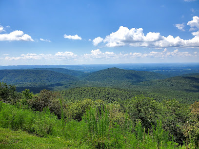
Rich Mountain
1.5 km
Discover the breathtaking views and serene trails of Rich Mountain, a premier destination for nature lovers and adventure seekers in Arkansas.
Grand View Vista
4.3 km
Discover the breathtaking views and serene beauty of Grand View Vista in Mena, Arkansas – a must-visit destination for nature lovers and adventure seekers.
Queen Wilhelmina State Park
4.9 km
Discover breathtaking views and rich history at Queen Wilhelmina State Park, Arkansas's "Castle in the Sky," nestled in the Ouachita Mountains.
Mountain Glory Station & The Glory Train
5.1 km
Experience the breathtaking beauty of the Ouachita Mountains on the enchanting Glory Train at Mountain Glory Station, a must-visit amusement park ride in Arkansas.
The Wonder House
5.2 km
Explore the enchanting Wonder House in Mena, Arkansas, a unique tourist attraction showcasing whimsical architecture and rich local history.
Avalon Keep Botanical Gardens
10.1 km
Explore Avalon Keep Botanical Gardens, a serene botanical haven in Mena, Arkansas, perfect for nature lovers and event celebrations.
Earthquake Ridge Trail
11.5 km
Discover the natural beauty and tranquility of Earthquake Ridge Trail in Acorn Township, Arkansas, a perfect escape for hiking enthusiasts and nature lovers.
Talimena Scenic Byway marker
12.8 km
Discover the stunning Talimena Scenic Byway, a historical landmark in Oklahoma offering breathtaking views and rich natural beauty.
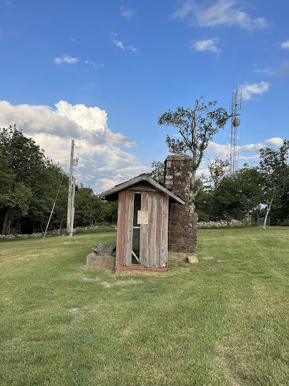
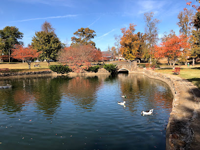
Janssen Park
13.3 km
Discover Mena's historic charm at Janssen Park: a community hub with a storied log cabin, tranquil ponds, and timeless appeal.
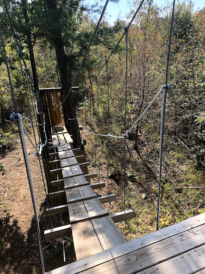
The Blue; Zip Line and Farm
18.6 km
Experience thrilling zip lines and farm adventures in the Ouachita Mountains at The Blue, an Autism-friendly destination near Mena, Arkansas.
Upper Kiamichi River Wilderness
18.7 km
Discover the serenity and adventure that await at Upper Kiamichi River Wilderness, a hidden gem in Oklahoma perfect for nature lovers and outdoor enthusiasts.
Kiamichi Trailhead
20.7 km
Discover the Kiamichi Trailhead in Heavener, Oklahoma, a beautiful hiking area offering stunning views and diverse trails for all adventurers.
Beech Creek National Scenic And Botanical Area
21.3 km
Immerse yourself in nature at Beech Creek National Scenic and Botanical Area, a stunning ecological park in Oklahoma, perfect for outdoor enthusiasts.
Castle Rock Vista
21.7 km
Discover the stunning panoramic views and serene beauty of Castle Rock Vista, a must-visit scenic spot in Heavener, Oklahoma.
Bee Mountain Lookout Tower
22.2 km
Discover the historic Bee Mountain Lookout Tower in Hatfield, Arkansas, offering stunning views, rich history, and a peaceful escape into nature.
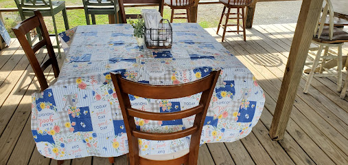
Essential places to dine
Queen Wilhelmina Restaurant
4.7 km
Experience exquisite dining at Queen Wilhelmina Restaurant surrounded by breathtaking views in Arkansas' scenic state park.
American Artisans Eatery & Gallery
13.4 km
Discover delicious sandwiches and local artistry at American Artisans Eatery & Gallery in Mena, Arkansas – a culinary gem worth exploring.
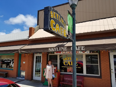
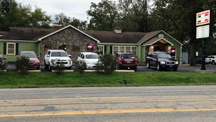
Skyline Cafe
13.4 km
Experience the heartwarming flavors of American breakfast at Skyline Cafe in Mena – where comfort food meets inviting atmosphere.
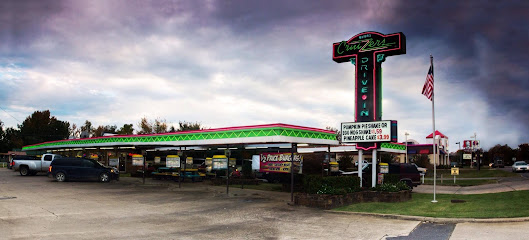
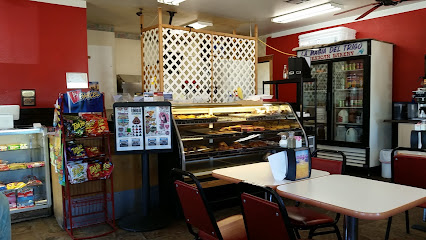
Myers Cruizzers Drive-In
13.7 km
Experience nostalgic dining at Myers Cruizzers Drive-In in Mena, AR—where classic fast food meets friendly service.
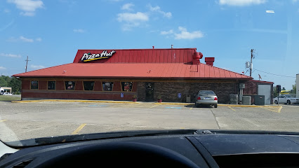
Pizza Hut
13.9 km
Discover delicious pizzas and mouthwatering chicken wings at Pizza Hut in Mena – your perfect dining spot while exploring Arkansas!
Wendy's
14.0 km
Discover Wendy's in Mena: where delicious fast food meets affordability amidst Arkansas' scenic beauty.
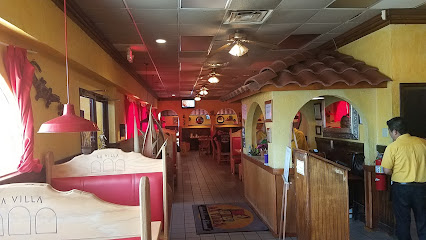
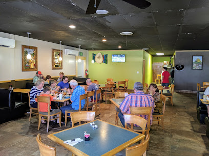
La Villa Mexican Restaurant
14.1 km
Experience authentic Mexican cuisine in Mena at La Villa Mexican Restaurant - where flavor meets tradition in a vibrant atmosphere.
Chopping Block Steakhouse
14.2 km
Experience mouthwatering steaks at Chopping Block Steakhouse in Mena - where quality meets flavor in every bite.
Little Italy II
14.4 km
Experience authentic Italian flavors at Little Italy II in Mena, Arkansas - where every dish tells a story of tradition and passion.
La Magia del Trigo Mexican Restaurant & Bakery
34.9 km
Discover authentic Mexican cuisine at La Magia del Trigo in Heavener – a delightful blend of flavors awaits you!
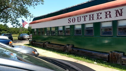
Southern Belle Restaurant
35.2 km
Experience authentic American comfort food at Southern Belle Restaurant in Heavener, where every dish feels like home.
Si Señor Mexican Grill
48.8 km
Experience the vibrant taste of Mexico at Si Señor Mexican Grill in Wister, OK - where every dish tells a story.
Simple Simon's Pizza
49.2 km
Experience the best pizza in Wister, Oklahoma at Simple Simon's Pizza—where flavor meets community spirit.

Truckin Good BBQ
62.0 km
Experience mouthwatering barbecue delights at Truckin Good BBQ in Broken Bow - where every bite tells a story of flavor.
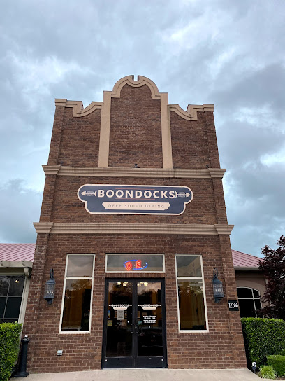
Boondocks
65.1 km
Experience the vibrant atmosphere at Boondocks in Fort Smith - where delicious food meets lively entertainment in a charming setting.
Markets, malls and hidden boutiques
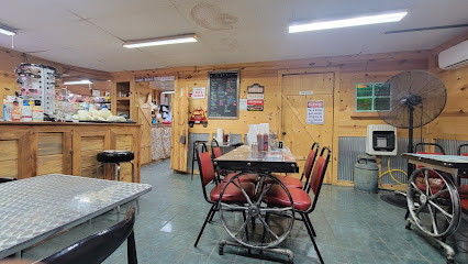
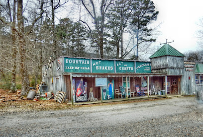
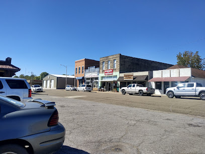
Rich Mountain Country Store
2.0 km
Discover the charm of Rich Mountain Country Store, where local goods meet warm hospitality in the heart of Arkansas.
Misty's Scentsy
9.9 km
Explore Misty’s Scentsy: A fragrant home goods store in Mena, Arkansas, offering delightful scents and unique gifts for every occasion.
Foot of the Hill Gift Shop
12.6 km
Explore the Foot of the Hill Gift Shop in Mena, AR for unique gifts and local crafts that embody the charm of Arkansas.
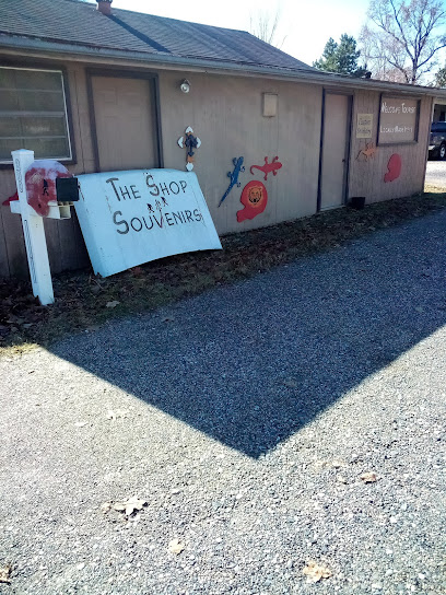
The Shop
12.6 km
Explore The Shop in Mena, Arkansas: a treasure trove of unique local crafts and memorable souvenirs reflecting the region's vibrant culture.
Sophia Blake Boutique
13.2 km
Explore Sophia Blake Boutique in Mena, Arkansas, for unique fashion finds and a personalized shopping experience that embodies local charm.

Hand Crafted Holistic Gift Shop
13.5 km
Explore the Hand Crafted Holistic Gift Shop in Mena, Arkansas, for unique gifts and local artisan treasures that celebrate holistic living.
Books & Stuf
13.5 km
Explore a charming bookstore in Mena, AR, offering a stunning selection of vintage and contemporary books, perfect for every literary enthusiast.

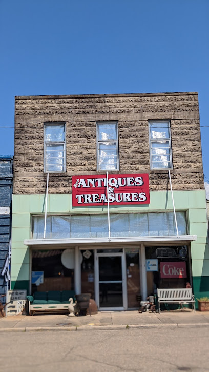
Depot Antiques
13.5 km
Explore Depot Antiques in Mena, AR - a vintage haven for collectors and curious travelers seeking unique treasures and rich history.
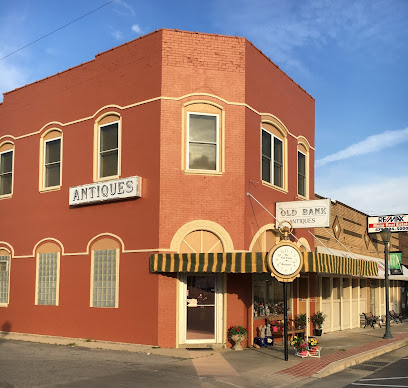
OLD BANK ANTIQUES LLC
13.6 km
Explore unique vintage treasures and charming antiques at Old Bank Antiques LLC in Mena, Arkansas.
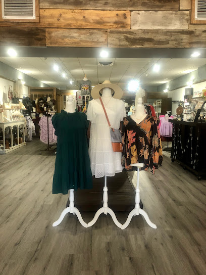
The Fair Lady Boutique
13.6 km
Discover unique clothing and accessories at The Fair Lady Boutique in Mena, Arkansas – a perfect destination for fashion lovers.
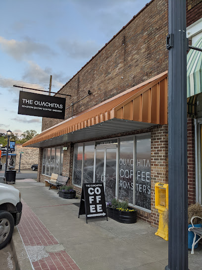
THE OUACHITAS
13.7 km
Explore the flavors of Arkansas at The Ouachitas, where local cuisine meets craft brewing in a cozy mountain setting.
The Corner Shoppe
13.7 km
Explore The Corner Shoppe in Mena, Arkansas: A treasure trove of unique gifts, local crafts, and charming finds for every traveler.
Gabriel Clothing Company
13.9 km
Explore unique fashion finds at Gabriel Clothing Company in Mena, Arkansas – a must-visit destination for stylish travelers.

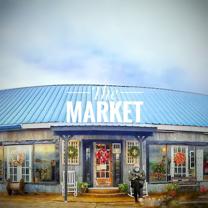
The Market Alehouse and Mercantile
14.0 km
Explore the delightful combination of craft beers, antiques, and trendy fashion at The Market Alehouse and Mercantile in Mena, Arkansas.
What-Knots Antiques,Collectibles & More...
14.1 km
Discover a vintage treasure trove at What-Knots Antiques in Mena, Arkansas, where history comes alive through unique collectibles and charming decor.
Essential bars & hidden hideouts
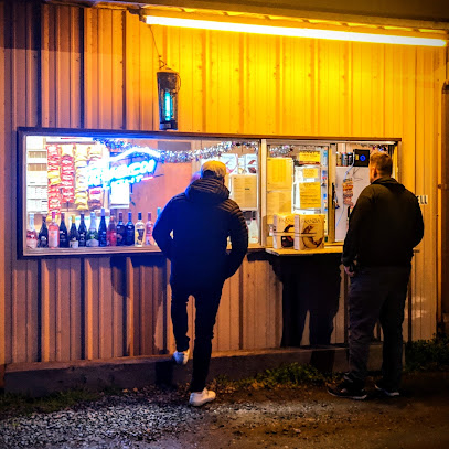
State Line Tavern/ State Line Beer Box
12.8 km
Experience the local charm at State Line Tavern, a cozy beer hall in Mena, AR, perfect for craft beer lovers and social gatherings.
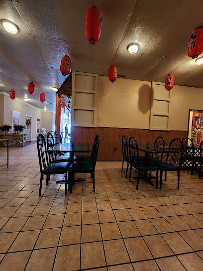
Rieki Hibachi And Sushi. Mena, Arkansas
13.5 km
Delight in exquisite sushi and hibachi dishes at Rieki Hibachi and Sushi, a culinary gem in Mena, Arkansas, perfect for sushi lovers and food enthusiasts.
Champs Chicken
13.5 km
Experience the heart of Southern cooking at Champs Chicken, where crispy fried chicken and savory wings await in Mena, Arkansas.

Sherwood Bistro
13.5 km
Discover the inviting Sherwood Bistro in Mena, Arkansas, where artisanal coffee meets a charming atmosphere for an unforgettable experience.
Krispy Krunchy Chicken
13.9 km
Experience the true taste of Southern comfort with mouthwatering fried chicken and delightful sides at Krispy Krunchy Chicken in Mena, Arkansas.

Fully Baked Cafe
14.0 km
Discover the heartwarming flavors of Fully Baked Cafe in Mena, Arkansas—where delicious meals and delightful desserts await every visitor.

Papa's Mexican Cafe
14.0 km
Experience authentic Mexican cuisine at Papa's Mexican Cafe in Mena, Arkansas, where every dish celebrates the vibrant flavors of Mexico.

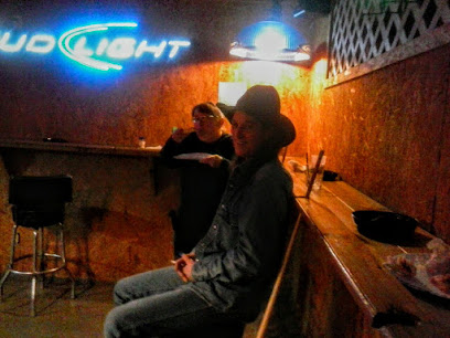
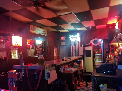
Brandie’s Black Sheep Bar
14.8 km
Discover the vibrant spirit and friendly atmosphere at Brandie’s Black Sheep Bar in Hodgen, Oklahoma – a perfect spot for relaxation and socializing.
Pearls Cafe
22.8 km
Discover the essence of Southern dining at Pearls Cafe in Hatfield, Arkansas, with hearty meals and a warm, welcoming atmosphere.
Jim's Red Barn
23.5 km
Discover the rustic charm and vibrant atmosphere at Jim's Red Barn, a must-visit bar in Smithville, Oklahoma, offering local brews and friendly hospitality.
Joe's Place
23.7 km
Experience the vibrant atmosphere and local charm of Joe's Place, a top bar in Smithville, where good times and great drinks await.
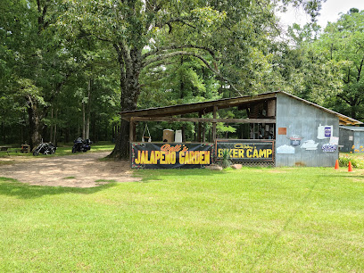
Gibby's Biker Camp
27.2 km
Discover the charm of Gibby's Biker Camp in Oklahoma, where rustic log cabins meet adventure and camaraderie for outdoor enthusiasts.
Hunt Brothers Pizza
29.3 km
Experience delicious pizza at Hunt Brothers Pizza in Cove, Arkansas – a hub for flavorful meals and warm hospitality for the whole family.
Tinkers Beer to Go
31.1 km
Discover the best craft beers and fine wines at Tinkers Beer to Go in Watson, Oklahoma, a must-visit for beverage lovers.
Pig Pen BBQ
34.3 km
Indulge in the best barbecue in Heavener, Oklahoma at Pig Pen BBQ, where smoky flavors and a cozy atmosphere await every guest.
Nightclubs & after hour spots
Mile High Club
69.6 km
Experience the perfect blend of rustic charm and modern comfort at the Mile High Club in Broken Bow, Oklahoma, where nature meets adventure.
Electric Cowboy Fort Smith
71.5 km
Experience the vibrant nightlife at Electric Cowboy Fort Smith, a top destination for dancing and socializing in the heart of Arkansas.

The Hilltop
77.2 km
Experience the vibrant nightlife at The Hilltop, Fort Smith's beloved bar with affordable drinks and lively karaoke events.
Club Kinkead's
78.4 km
Discover the lively nightlife at Club Kinkead's in Fort Smith, Arkansas, known for its drag shows and vibrant atmosphere.

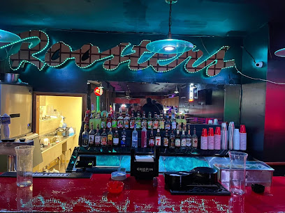
Roosters
78.6 km
Experience the vibrant nightlife at Roosters in Fort Smith, Arkansas, where music, dancing, and great drinks create unforgettable memories.
Foxfire Club
78.8 km
Experience the vibrant nightlife of Fort Smith at Foxfire Club, where great drinks and friendly vibes await every visitor.
El Azteca Night Club
79.4 km
Discover the electrifying nightlife at El Azteca Night Club in Fort Smith, Arkansas, where vibrant music and dancing await every weekend.

The Cactus
80.9 km
Experience the vibrant nightlife at The Cactus in Fort Smith, Arkansas, where great drinks, music, and an energetic atmosphere await.

The Goose
80.9 km
Experience the electrifying nightlife at The Goose, Fort Smith's premier night club featuring live music, great drinks, and an unforgettable atmosphere.
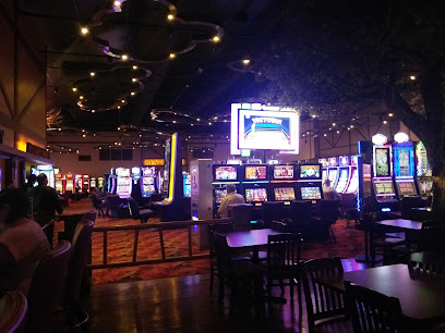
Choctaw Casino Broken Bow
84.9 km
Discover the excitement of gaming, dining, and live entertainment at Choctaw Casino Broken Bow, Oklahoma’s ultimate entertainment destination.