From Eve
Know before you go
Hi, I'm Eve. Here are a few practical things to know before exploring Lambs Head.
Local know-how to help you travel smarter and make the most of every moment.

Conquer Lambs Head for panoramic views of Cairns and the Atherton Tablelands. A challenging hike through diverse landscapes awaits!
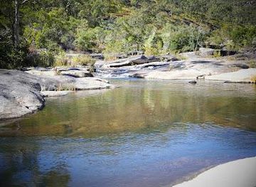
Lambs Head, also known as Kahlpahlim Rock, is the highest point on the Lamb Range, offering a challenging hike with rewarding panoramic views of Cairns and the Atherton Tablelands. The trails wind through diverse landscapes, from dense pine forests to lush rainforests, making it a memorable experience for avid hikers.
Opening times, essentials, and a few local tips gathered into one calmer, easier-to-scan planning section.
Hi, I'm Eve. Here are a few practical things to know before exploring Lambs Head.
Local know-how to help you travel smarter and make the most of every moment.
Driving
From Cairns, drive approximately 1 hour and 15 minutes via the Kennedy Highway towards Mareeba. Turn left onto Davies Creek Road and continue past Davies Creek Falls. Follow the road to the trailhead parking area for either the Kahlpahlim Rock Trail or the Ridge Trail. Note that the last 10km is a dirt road that can be corrugated. No parking fees apply.
Public Transport
Take a bus from Cairns to Mareeba. From Mareeba, arrange a taxi or rideshare to the Lambs Head trailhead, approximately 15 km away. Expect to pay around AUD 30-40 for the taxi fare. Check local bus schedules for accurate times and fares. There are no public transport options directly to the trailhead.
Use Tower Bridge as your starting point for nearby food, family ideas, nightlife, and more local discoveries.

Explore expert travel guides, compare and book tours, experiences, hotels, and more—all from the palm of your hand. Download now for seamless trip planning wherever your wanderlust takes you.
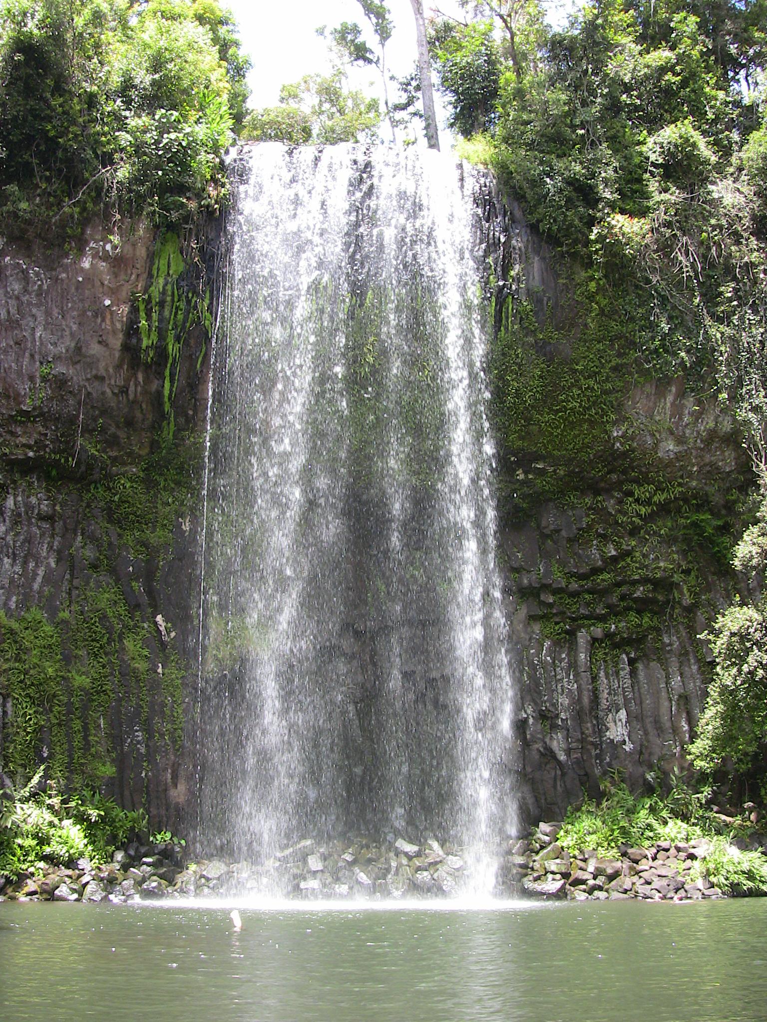
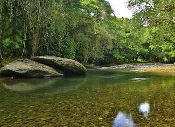
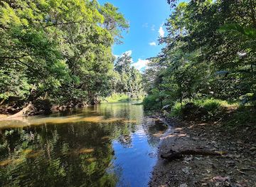
Discover the Atherton Tablelands, where stunning waterfalls, lush rainforests, and charming villages come together to create an unforgettable North Queensland experience.
Tell me more about Atherton Tablelands