Lambs Head
Lambs Head: A Summit Spectacle

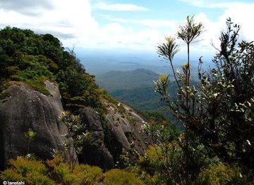
Conquer Lambs Head for panoramic views of Cairns and the Atherton Tablelands. A challenging hike through diverse landscapes awaits!
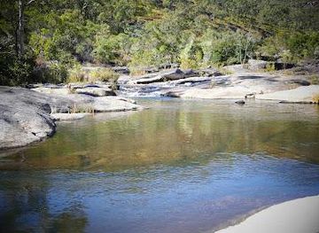
Lambs Head, also known as Kahlpahlim Rock, is the highest point on the Lamb Range, rising approximately 1300 meters above sea level. Located near Mareeba, Queensland, it offers challenging hiking trails with rewarding panoramic views of Cairns and the Atherton Tablelands.
Opening times, essentials, and a few local tips gathered into one calmer, easier-to-scan planning section.
Car
From Cairns, drive approximately 1 hour and 15 minutes via the Kennedy Highway towards Mareeba. Turn left onto Davies Creek Road and continue past Davies Creek Falls. Follow the road to the parking area at the trailhead. Note that the last 10 km are on a dirt road, which can be corrugated. 2WD is possible but 4WD is more comfortable. Parking is free.
Public Transport
Take a bus from Atherton to Mareeba. Buses operate several times a day. Check the local bus station or online for the timetable. From Mareeba, arrange a taxi or rideshare to reach the Lambs Head trailhead, approximately 15 km away. Expect to pay around AUD 30-40 for the taxi fare.
Hiking
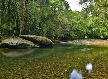
From the Lambs Head access road, prepare for a moderately challenging hike. Follow the marked trail leading up to Lambs Head. The hike can take around 1.5 to 2 hours depending on your pace. Ensure you have proper hiking shoes, water, and snacks.
Use Tower Bridge as your starting point for nearby food, family ideas, nightlife, and more local discoveries.

Explore expert travel guides, compare and book tours, experiences, hotels, and more—all from the palm of your hand. Download now for seamless trip planning wherever your wanderlust takes you.
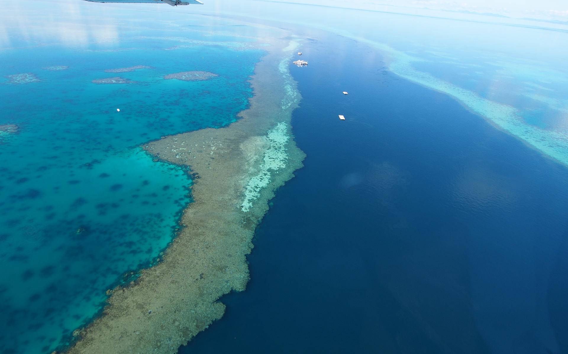
Discover Cairns, the vibrant city where the Great Barrier Reef meets lush rainforests, offering unparalleled adventures, cultural experiences, and tropical relaxation.
Tell me more about Cairns