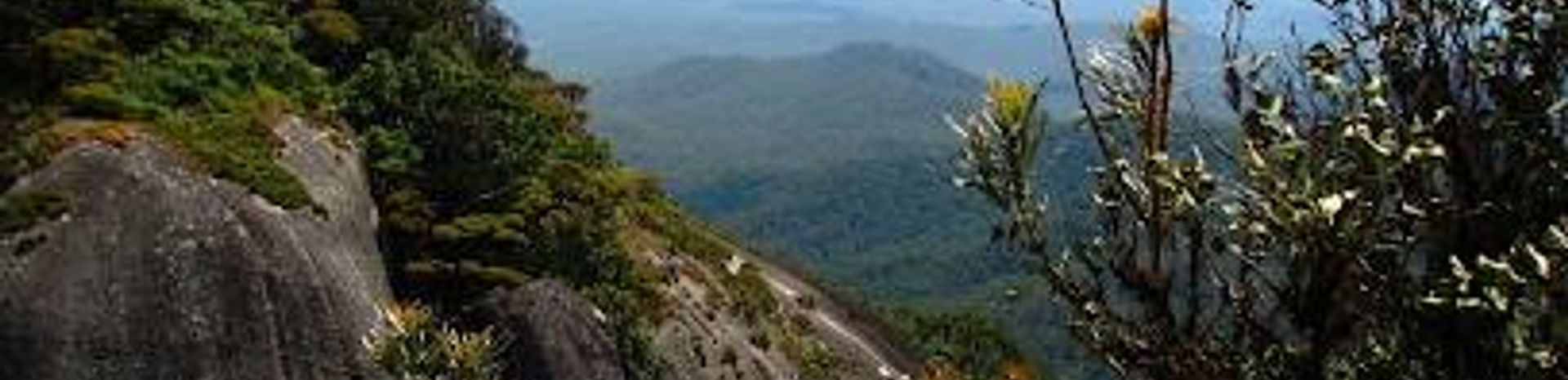
Lambs Head: A Summit of Natural Wonder
Conquer Lambs Head for panoramic views of Cairns and the Atherton Tablelands. A challenging hike through diverse landscapes awaits!
Lambs Head, also known as Kahlpahlim Rock, is the highest point on the Lamb Range, rising approximately 1300 meters above sea level. Located near Mareeba, Queensland, it offers challenging hiking trails with rewarding panoramic views of Cairns and the Atherton Tablelands.
A brief summary to Lambs Head
- Mareeba, Queensland, AU
Local tips
- Start your hike early in the morning to avoid the heat and allow ample time for the return journey.
- Bring plenty of water and snacks, as there are no water sources along the trails.
- Wear sturdy hiking boots or trail runners to tackle the steep climbs.
- Inform someone of your hiking plans and expected return time.
- Check weather conditions before you set out and avoid hiking in wet weather.
Getting There
-
Car
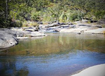
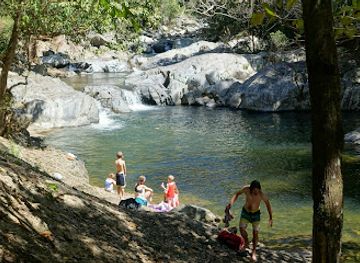
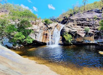
From Cairns, drive approximately 1 hour and 15 minutes via the Kennedy Highway towards Mareeba. Turn left onto Davies Creek Road and continue past Davies Creek Falls. Follow the road to the parking area at the trailhead. Note that the last 10 km are on a dirt road, which can be corrugated. 2WD is possible but 4WD is more comfortable. Parking is free.
-
Public Transport
Take a bus from Atherton to Mareeba. Buses operate several times a day. Check the local bus station or online for the timetable. From Mareeba, arrange a taxi or rideshare to reach the Lambs Head trailhead, approximately 15 km away. Expect to pay around AUD 30-40 for the taxi fare.
-
Hiking
From the Lambs Head access road, prepare for a moderately challenging hike. Follow the marked trail leading up to Lambs Head. The hike can take around 1.5 to 2 hours depending on your pace. Ensure you have proper hiking shoes, water, and snacks.
Discover more about Lambs Head
Explore the best of what Lambs Head has to offer


More about Cairns
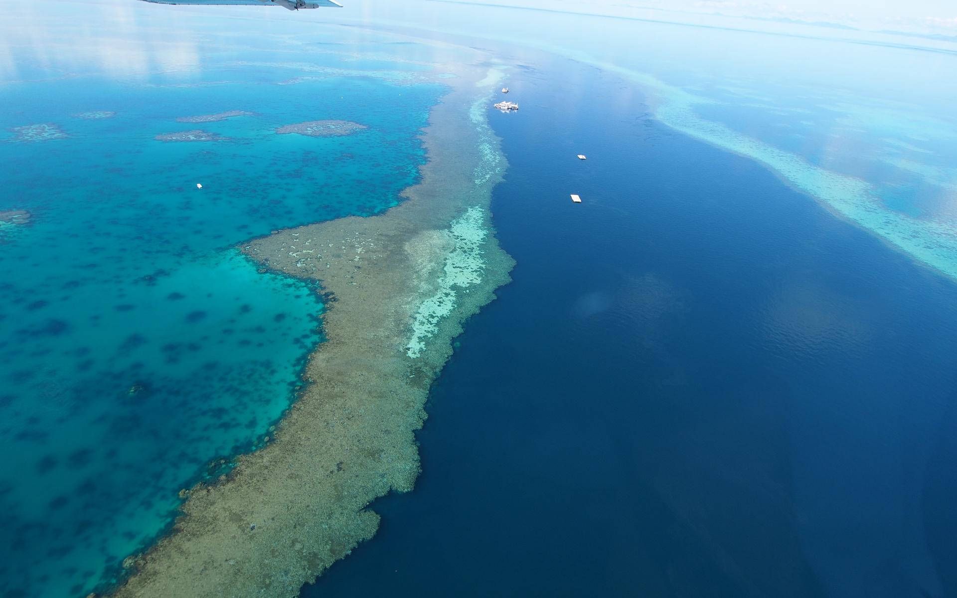
Discover Cairns, the vibrant city where the Great Barrier Reef meets lush rainforests, offering unparalleled adventures, cultural experiences, and tropical relaxation.
Tell me more about Cairns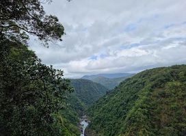
Explore the breathtaking landscapes and diverse wildlife of Barron Gorge National Park, a premier destination for nature lovers in Queensland, Australia.

Explore the stunning landscapes of Davies Creek in Dinden National Park, featuring waterfalls, diverse wildlife, and breathtaking hiking trails in Queensland.
Want to improve this location?
Activate this location now and let Evendo enhance its appearance, information, and visibility for millions of travellers.
