From Eve
Know before you go
Hi, I'm Eve. Here are a few practical things to know before exploring Rotbachlspitze.
Local know-how to help you travel smarter and make the most of every moment.
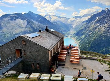
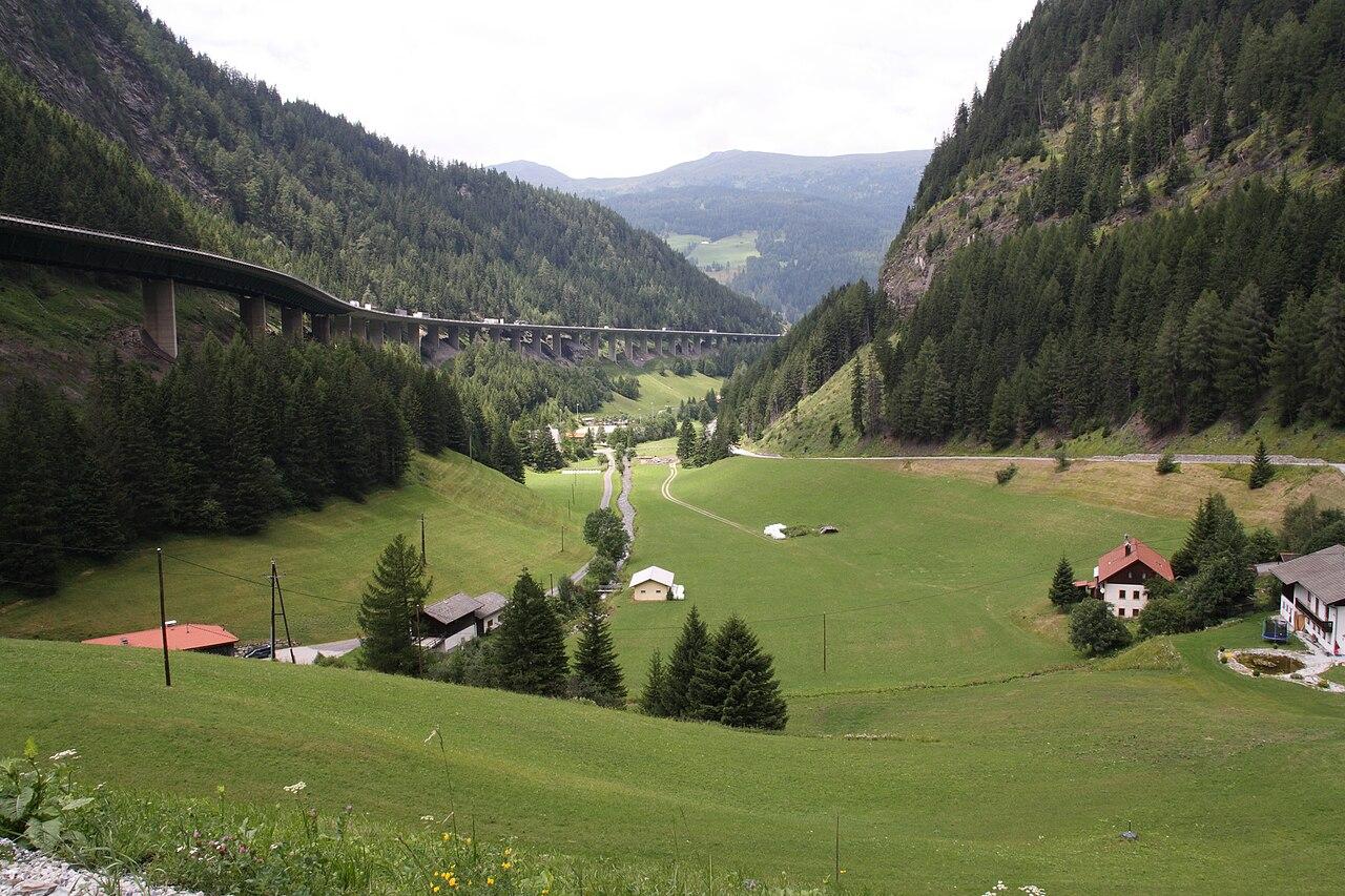
Hike to the summit of Rotbachlspitze for panoramic views of the Zillertal Alps and a taste of the high alpine environment.
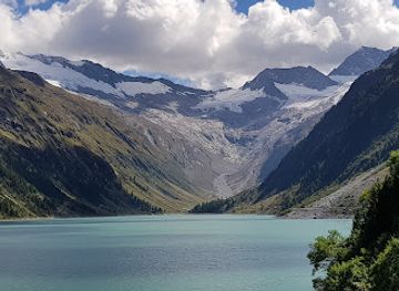
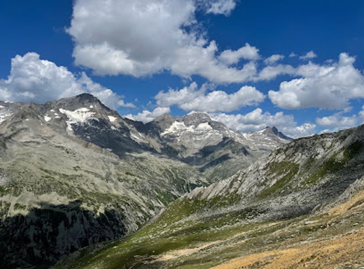
Rotbachlspitze, also known as Croda Rossa in Italian, is a stunning peak in the Zillertal Alps, straddling the border between Austria and Italy. Renowned for its reddish rock and panoramic views, it's a popular destination for hikers seeking a moderately challenging alpine experience.
Opening times, essentials, and a few local tips gathered into one calmer, easier-to-scan planning section.
Hi, I'm Eve. Here are a few practical things to know before exploring Rotbachlspitze.
Local know-how to help you travel smarter and make the most of every moment.
Walking
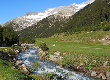
The most popular approach to Rotbachlspitze is on foot, starting from the Schlegeisspeicher reservoir. From the dam, follow the well-marked trail towards Pfitscherjoch Haus (Rifugio Passo di Vizze). The trail gradually ascends, passing the Lavitzalm. From Pfitscherjoch Haus, continue east, following the path to Rotbachlspitze. The final ascent involves a steeper section over scree. Note that there is a toll to access the Schlegeisspeicher (€14 for cars).
Public Transport
To reach the Schlegeisspeicher using public transport, take a train to Sterzing/Vipiteno. From Sterzing, take a bus to St. Jakob. From St. Jakob, a shuttle bus service is available to the Pfitscherjochhaus. From there, follow the walking directions to Rotbachlspitze. The shuttle bus costs around €5 per person. Check the current bus schedules at http://www.sii.bz.it/de.
Use Tower Bridge as your starting point for nearby food, family ideas, nightlife, and more local discoveries.

Explore expert travel guides, compare and book tours, experiences, hotels, and more—all from the palm of your hand. Download now for seamless trip planning wherever your wanderlust takes you.
Discover Wipptal, Austria's scenic Alpine gem, where nature, adventure, and culture come together amidst stunning mountain landscapes and charming villages.
Tell me more about Wipptal