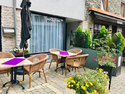
Explore the Natural Beauty of Les Échelles de Rochehaut
Discover the breathtaking hiking trails of Les Échelles de Rochehaut in the Ardennes, a must-visit destination for nature lovers in Belgium.
Nestled in the breathtaking Ardennes region, Les Échelles de Rochehaut offers an unforgettable hiking experience with stunning views, rich flora, and a tranquil atmosphere. Ideal for nature lovers and adventure seekers, this enchanting location is a must-visit for tourists exploring Bouillon, Belgium.
A brief summary to Les Échelles de Rochehaut
- Bouillon, 6830, BE
Local tips
- Wear sturdy hiking boots to navigate the varied terrain comfortably.
- Bring a camera to capture the stunning views along the trails.
- Visit early in the morning or late afternoon for the best light and fewer crowds.
- Pack a picnic to enjoy at one of the scenic viewpoints.
- Check the weather forecast before your visit to ensure a pleasant hiking experience.
Getting There
-
Car
If you are driving, head towards Bouillon, which is well-signposted from major roads in the Ardennes. From Bouillon, follow the D24 road heading south. After approximately 5 km, look for signs for Les Échelles de Rochehaut. There is parking available near the hiking area. Note that parking may have a small fee, so keep some change handy.
-
Public Transportation
To reach Les Échelles de Rochehaut using public transportation, first take a train to the nearest station, which is 'Marche-en-Famenne'. From there, take a local bus towards Bouillon. Once in Bouillon, you can either walk or take a taxi to the hiking area, which is about 5 km away. Buses may not run frequently, so check the schedule in advance. Be prepared for a small fare for the bus ride.
-
Walking
If you are already in Bouillon and prefer to walk, you can follow the hiking trails leading to Les Échelles de Rochehaut. The trails are well-marked and offer beautiful views of the surrounding landscape. The distance from Bouillon is approximately 5 km, and it should take around 1 to 1.5 hours to walk, depending on your pace. Make sure to bring water and wear appropriate hiking shoes.
Discover more about Les Échelles de Rochehaut
Iconic landmarks you can’t miss
Les Échelles de Rochehaut
0.0 km
Discover the breathtaking hiking trails of Les Échelles de Rochehaut in the Ardennes, a must-visit destination for nature lovers in Belgium.
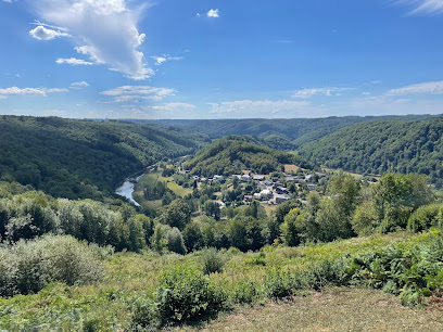
Balade des Échelles
0.0 km
Conquer the heights on this thrilling Ardennes hike with ladders, offering breathtaking views of the Semois Valley near Rochehaut, Belgium.
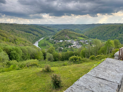
Aux Légendes d'Ardenne
7.8 km
Discover the serene beauty of Paliseul at Aux Légendes d'Ardenne, a cozy guesthouse nestled in the heart of the Ardennes, perfect for a relaxing getaway.
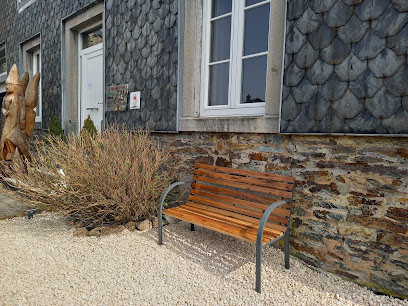
Le Rocher du chat
19.9 km
Experience the breathtaking beauty of Le Rocher du chat, a scenic spot in Florenville, perfect for nature lovers and adventure seekers.
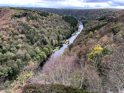
Meuse
20.7 km
Discover the enchanting Meuse River, a picturesque destination offering serene landscapes, rich history, and delightful local cuisine for every traveler.
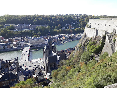
Albert I of Belgium Statue
23.2 km
Explore the Albert I of Belgium Statue in Charleville-Mézières: a historical landmark celebrating the legacy of a beloved monarch amidst beautiful surroundings.
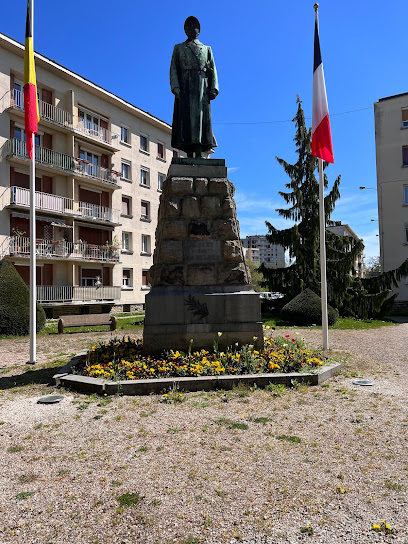
Famenne
29.5 km
Discover Famenne, Belgium: Hike scenic trails, explore historic villages, and immerse yourself in Wallonia's natural beauty and cultural heritage.
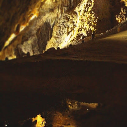
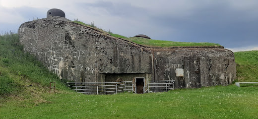
Ouvrage de La Ferté
31.9 km
Explore the rich military history and stunning architecture of Ouvrage de La Ferté, a must-visit historical landmark in La Ferté-sur-Chiers, France.
Musée de la Vie rurale en Wallonie
35.9 km
Discover Wallonia's rural past at this open-air museum, featuring transplanted hamlets showcasing traditional life and architecture.

Les Cascatelles
41.9 km
Experience the breathtaking beauty and tranquility of Les Cascatelles, a serene promenade by the Meuse River in Hastiere, Belgium.
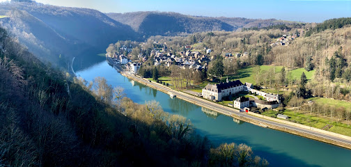
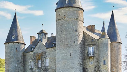
Vêves Castle
42.9 km
Discover the enchanting Vêves Castle in Belgium, where medieval history and stunning architecture come together in a picturesque setting.
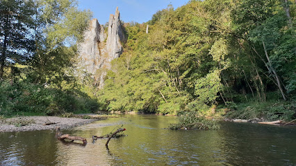
Aiguilles de Chaleux
43.1 km
Discover the breathtaking Aiguilles de Chaleux in Houyet: stunning rock formations & serene hiking trails await your exploration!
Panorama - château de Walzin
43.1 km
Discover the enchanting views and historical charm of Château de Walzin, a scenic gem in the heart of Belgium's natural beauty.
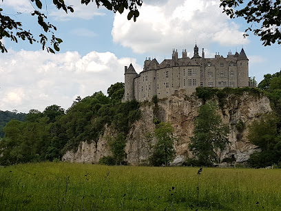
Walzin Castle
43.3 km
Discover the majestic Walzin Castle, a captivating medieval fortress in Dinant, Belgium, surrounded by stunning natural beauty and rich history.

Brûly-de-Pesche 1940
44.2 km
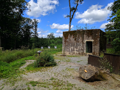
Explore the historical significance and serene beauty of Brûly-de-Pesche 1940, a captivating landmark in Belgium that celebrates its rich past.
Unmissable attractions to see
Parc Animalier
1.0 km
Explore the Ardennes' wildlife by train at Parc Animalier de Rochehaut, home to 40 animal species in a scenic 40-hectare park.
Crêtes de Frahan
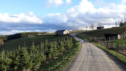
1.6 km
Explore the breathtaking hiking trails of Crêtes de Frahan in the heart of the Ardennes, where natural beauty meets adventure.
Le Tombeau du Géant à Botassart
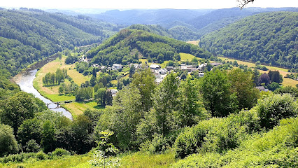
2.3 km
Explore the breathtaking beauty of Le Tombeau du Géant in the Belgian Ardennes, a scenic hiking area with stunning views and rich natural history.
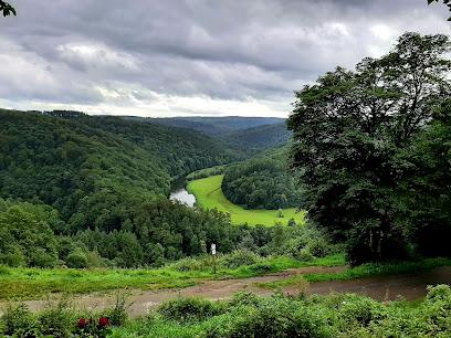
Ardenn'Evasion
2.5 km
Experience the breathtaking beauty and rich heritage of the Ardennes at Ardenn'Evasion, a premier tourist attraction in Bouillon.
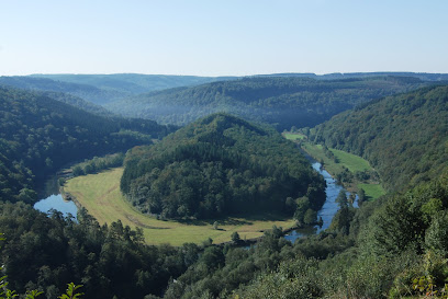
Ardois'Alle
3.9 km
Explore the rich history and stunning scenery at Ardois'Alle, a charming tourist attraction in Vresse-sur-Semois, Belgium.
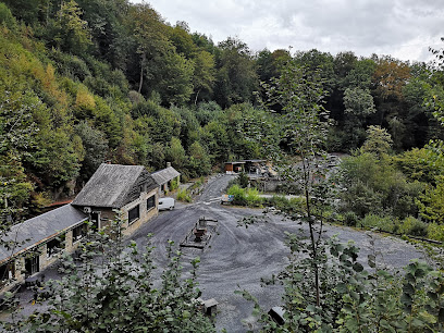
La passerelle du Moulin de l'Épine
3.9 km
Experience the thrill of crossing the Semois River on this modern suspension bridge, a gateway to the scenic hikes and natural beauty of Bouillon.
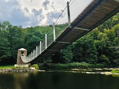
Belvédère de Bouillon
5.1 km
Discover breathtaking views of Bouillon and the Ardennes at the Belvédère de Bouillon, a must-see observatory for every traveler.
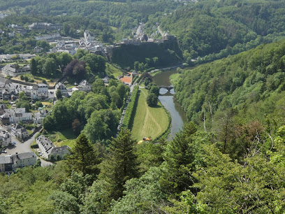
Pont de Cordemois
5.6 km
Discover the Pont de Cordemois in Bouillon, Belgium: where history, stunning landscapes, and serene abbey trails converge.
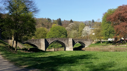
Bouillon Castle
5.7 km
Explore Bouillon Castle, a stunning medieval fortress offering breathtaking views and a rich historical experience in the heart of Belgium.
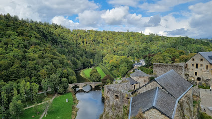
Musée Ducal
5.7 km
Explore Bouillon's history, art, and folklore at the Musée Ducal, housed in two beautiful 17th and 18th-century buildings.
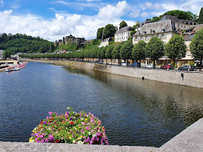
Bouillon Medieval Experience
5.8 km
Explore the captivating history of the Middle Ages at Bouillon Medieval Experience, where interactive exhibits and stunning views await.
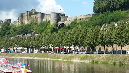
Pont de la porte de France
5.9 km
Explore the Pont de la Porte de France in Bouillon, a stunning bridge that connects history, beauty, and breathtaking views of the Semois River.
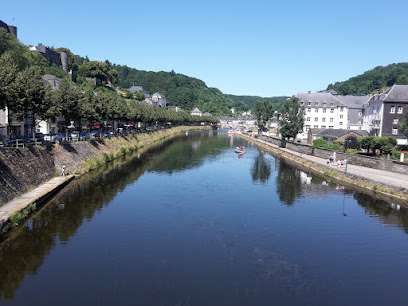
La Ramonette viewpoint
5.9 km
Discover the enchanting La Ramonette Viewpoint in Bouillon, Belgium, where stunning panoramic views and serene landscapes await every traveler.
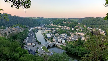
Animal Park Bouillon
6.4 km
Discover the enchanting Animal Park Bouillon, where wildlife and nature come together for an unforgettable experience in the heart of Belgium.
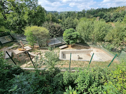
La Ferme des Fées
9.7 km
Explore La Ferme des Fées in Bouillon for a magical blend of art and nature, showcasing the best of local creativity in a stunning setting.
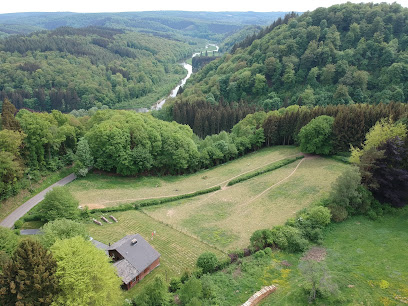
Essential places to dine
Point de vue
1.2 km
Discover breathtaking views and exquisite dining at Point de Vue in Rochehaut - where every meal is a scenic delight.
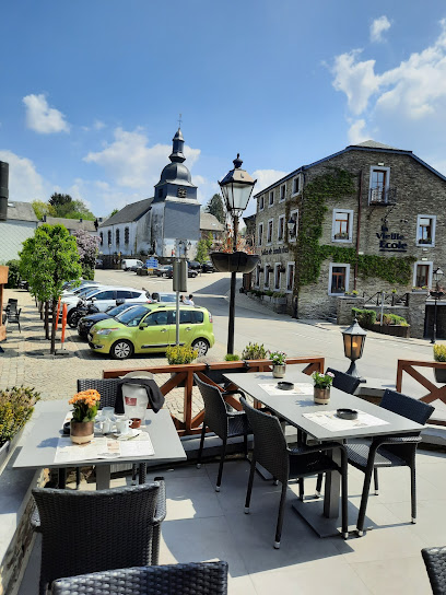
Le Charme de la Semois
3.8 km
Discover tranquility at Le Charme de la Semois - a beautiful hotel and restaurant nestled in Belgium's scenic Vresse-sur-Semois.
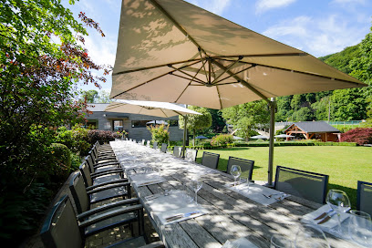
Hotel Auberge D'Alle
3.9 km
Discover authentic French cuisine and serene landscapes at Hotel Auberge D'Alle in Vresse-sur-Semois - your gateway to culinary delights and natural beauty.
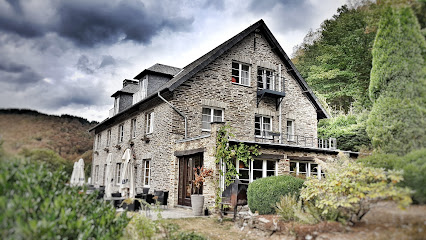
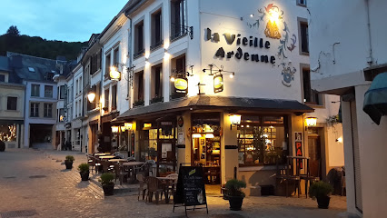
La Vieille Ardenne
5.7 km
Discover La Vieille Ardenne: A cozy restaurant & bar in Bouillon offering delicious Belgian cuisine and a charming atmosphere for all travelers.
Hôtel Restaurant Panorama
5.9 km
Discover comfort and exquisite cuisine at Hôtel Restaurant Panorama in Bouillon, where breathtaking views meet delightful hospitality.

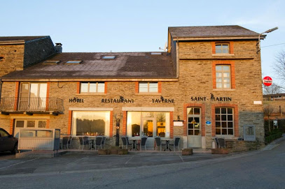
Auberge Saint-Martin
9.4 km
Discover Auberge Saint-Martin: A delightful hotel offering exquisite cuisine and stunning nature views in Vresse-sur-Semois.
Auberge En Ardenne
14.0 km
Discover Auberge En Ardenne: where comfort meets exquisite French cuisine in the heart of Les Hautes-Rivières.

L'Épisode
23.4 km
Discover L'Épisode: An enchanting restaurant in Herbeumont offering exquisite Belgian cuisine and a delightful atmosphere.

Le Moulin Cambier
25.7 km
Discover exquisite French cuisine and enchanting ambiance at Le Moulin Cambier in Chiny – a must-visit culinary destination.
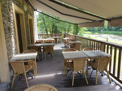
Ferme Auberge du Malgré-Tout
27.1 km
Discover authentic French cuisine and serene accommodations at Ferme Auberge du Malgré-Tout in beautiful Revin.

Le Chameleux
28.1 km
Experience the heart of Belgian cuisine at Le Chameleux in Florenville – where delicious meals meet warm hospitality.
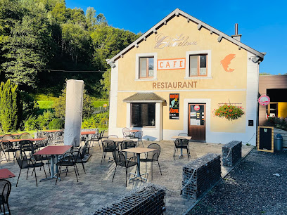
Hotel Ermitage du Moulin Labotte
28.4 km
Experience the charm of Ardennes at Hotel Ermitage du Moulin Labotte - your perfect getaway with exquisite French dining.

Hôtel Restaurant Le Robinson
28.6 km
Experience exquisite French cuisine and warm hospitality at Hôtel Restaurant Le Robinson in beautiful Haybes.

Restaurant abCd
30.6 km
Experience exquisite Belgian cuisine at Restaurant abCd in Beauraing - where tradition meets innovation.

Restaurant Le Pont des Anges
30.7 km
Experience culinary excellence at Restaurant Le Pont des Anges in Beauraing - where every dish tells a story of flavor and tradition.

Markets, malls and hidden boutiques
Antique Ardenne
11.3 km
Explore Antique Ardenne in Paliseul, Belgium, where vintage furniture and unique antiques await to inspire your inner collector.

Emmaüs Ardennes
15.9 km
Explore Emmaüs Ardennes: A unique consignment shop merging sustainable shopping with social responsibility in Vrigne-aux-Bois, France.
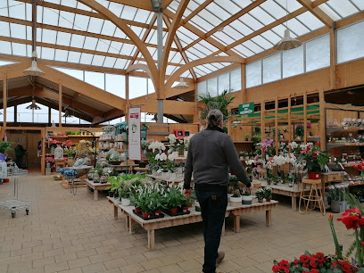
botanic Vivier-au-Court
18.3 km
Explore the vibrant garden center and pet store at Botanic Vivier-au-Court, where nature meets nurturing in a picturesque French setting.
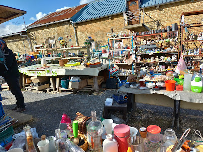
La Petite Pièce
25.6 km
Explore La Petite Pièce, a charming antique store in Prix-lès-Mézières, where timeless treasures await every visitor.

L'antre des mondes
25.8 km
Explore L'antre des mondes in Florenville for a unique shopping experience filled with spiritual treasures, handmade jewelry, and wellness products.

Latitude 46
25.9 km
Explore Latitude 46, a unique gift shop in Florenville offering home goods, furniture, and exquisite interior decor from local artisans.

Jacquet Pêche
30.3 km
Discover the best fishing gear and community at Jacquet Pêche, a premier fishing club in the heart of Chiny, Belgium.

Baudry Antiquités
30.6 km
Explore Baudry Antiquités in Beauraing, where timeless treasures and rich history await every curious traveler.

Elmobilis
30.8 km
Explore Elmobilis in Chiny for exquisite Belgian furniture that blends style and craftsmanship, perfect for your home or as a unique travel souvenir.
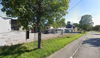
Sellerie Cavalonet - Collard Elsa
30.9 km
Explore the equestrian treasures at Sellerie Cavalonet, a premier tack shop in the heart of Chiny, Belgium, where passion meets quality.

Beauraing Tropical
31.9 km
Explore the vibrant Beauraing Tropical gift shop for unique chinaware, local treats, and beautiful plants in the heart of Beauraing.

Les Pâturages de la Semois
32.1 km
Discover the authentic taste of Belgium at Les Pâturages de la Semois, a premier butcher shop deli in Chiny offering fresh, local produce.

BigMat Goffette Jamoigne
32.2 km
Discover quality building materials and expert advice at BigMat Goffette Jamoigne, your DIY destination for construction projects.

Sb-Xpress Shop Jamoigne
32.3 km
Explore the heart of Jamoigne at Sb-Xpress Shop, where local flavors and charm come together for an authentic shopping experience.

Night shop jamoigne
32.3 km
Explore the local flavors and essentials at Night Shop Jamoigne, your friendly general store in Chiny, Belgium.

Essential bars & hidden hideouts
Le troquet plage
9.1 km
Discover culinary delights at Le Troquet Plage, a charming brasserie and bar in Vresse-sur-Semois, where local flavors meet stunning river views.

Cafe des ardennes bij gina en rudy
10.2 km
Cafe des Ardennes bij Gina en Rudy: Your cozy retreat in Vresse-sur-Semois, serving local delights and breathtaking views.
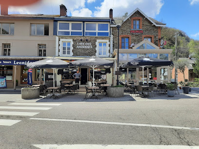
Chez Tof
12.7 km
Discover the charm of Chez Tof in Saint-Menges, where local beers and fine wines create the perfect atmosphere for relaxation and enjoyment.

Aux Amis de la Semoy
15.8 km
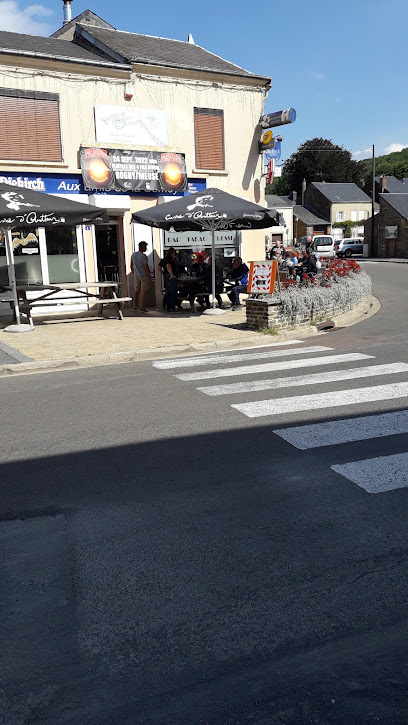
Explore the charm of Thilay at Aux Amis de la Semoy, a cozy pub offering delightful local drinks and a unique tobacco shop experience.
Roy de la Bière
15.9 km
Discover the charm of Roy de la Bière, a cozy bar in Sedan known for its extensive beer selection and vibrant atmosphere, perfect for relaxation.

Bar Du Rivage
16.0 km
Discover the charm of Bar Du Rivage in Vrigne-aux-Bois, where delightful drinks and warm hospitality await in a cozy setting.

L'ENTRE DEUX
19.0 km
Discover the delightful flavors of Donchery at L'ENTRE DEUX, a brewpub offering craft beers and homemade dishes in a cozy atmosphere.
Le Saint Laurent
19.5 km
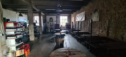
Discover the vibrant atmosphere of Le Saint Laurent, a cozy bar in Saint-Laurent offering delightful drinks and a taste of local culture.

Les Tourets karaoké, Cabaret
19.9 km
Experience the vibrant nightlife at Les Tourets Karaoké, where every night is filled with music, performances, and unforgettable memories.

Brasserie 90 : Microbrasserie à l'univers pop !
22.2 km
Experience the vibrant fusion of craft beer and pop culture at Brasserie 90, a top brewpub in Villers-Semeuse.

Le Week-end
22.4 km
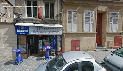
Discover the cozy charm of Le Week-end, a popular bar in Charleville-Mézières, perfect for unwinding with drinks and enjoying local culture.
Le Relais de Chassepierre
22.5 km
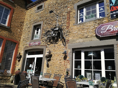
Experience the charm of Le Relais de Chassepierre, a brewpub and bed & breakfast offering delightful local cuisine and serene surroundings.
Club des jeunes chassepierre
22.5 km
Discover the lively atmosphere of Club des jeunes chassepierre, a vibrant bar in Florenville, perfect for mingling with locals and enjoying regional drinks.
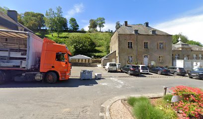
O'Temple Bar
22.5 km
Discover the authentic French bar experience at O'Temple Bar in Charleville-Mézières, where great drinks and local culture await.
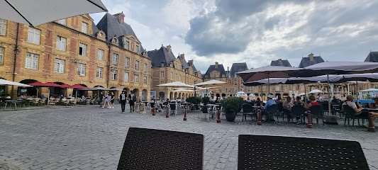
Ma Poulperie
22.7 km
Experience the vibrant atmosphere of Ma Poulperie, a unique beer hall in Charleville-Mézières offering craft beers, cocktails, and fun board games.

Nightclubs & after hour spots
L'Annexe
16.6 km
Experience the vibrant nightlife of Sedan at L'Annexe, where electrifying music meets an unforgettable disco atmosphere.
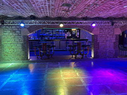
R Club
25.6 km
Discover the vibrant nightlife of Libramont-Chevigny at R Club, where music, dancing, and fun create unforgettable memories.

Club La Marlière
27.0 km
Discover the vibrant nightlife of Sapogne-et-Feuchères at Club La Marlière, the ultimate disco destination for dancing and fun.

LA GUINGUETTE DE BOULZICOURT
27.1 km
Discover the vibrant nightlife at La Guinguette de Boulzicourt, a disco club by the pristine Etang de la Prée, where music and fun unite.
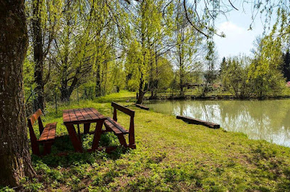
Lindbergh Club
44.7 km
Discover the vibrant nightlife of Couvin at Lindbergh Club, where dancing and cocktails create unforgettable memories.

Le Derby
47.9 km
Discover the charm of Le Derby, a cozy coffee shop in Dinant, serving delightful brews and pastries in a warm, inviting atmosphere.

Club Marche-en-Famenne
48.7 km
Discover the vibrant Club Marche-en-Famenne, a treasure trove of books, games, and crafts in the heart of Belgium.

Poker Club Dinant
49.1 km
Dive into the excitement at Poker Club Dinant, where thrilling games and a vibrant social scene come together in the heart of Belgium.
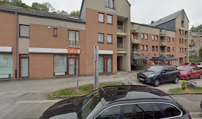
Le Trébuchet
51.3 km
Discover the vibrant nightlife at Le Trébuchet, Ciney's premier night club for unforgettable dancing and music experiences.
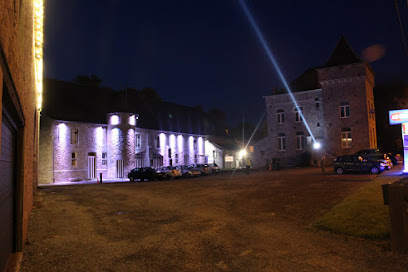
Club des Jeunes de Lottert
52.7 km
Experience the vibrant nightlife of Attert at Club des Jeunes de Lottert, where music and fun come alive in a welcoming atmosphere.
Forum d'Ortho
53.3 km
Discover the heart of La Roche-en-Ardenne's nightlife at Forum d'Ortho, where the music never stops and memories are made.

Place du bronze
55.2 km
Discover the charm of Place du Bronze, a lively bar in La Roche-en-Ardenne, where local flavors and warm hospitality meet in a picturesque setting.
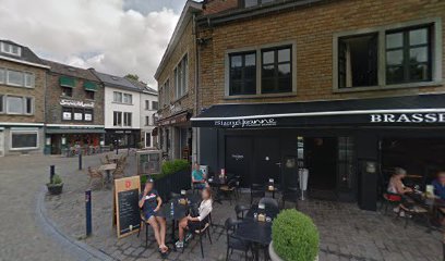
A vi Tchèstê
55.4 km
Experience authentic Belgian hospitality at A vi Tchèstê, a cozy pub in La Roche-en-Ardenne with local beers and hearty meals.

Day night Shop, Alimentation
55.4 km
Experience the vibrant Alimentation Night Market in La Roche-en-Ardenne, where local flavors and artisanal crafts come alive under the stars.

Nocturno
55.5 km
Discover the charm of Nocturno in La Roche-en-Ardenne—where comfort meets the stunning landscapes of the Ardennes region.
