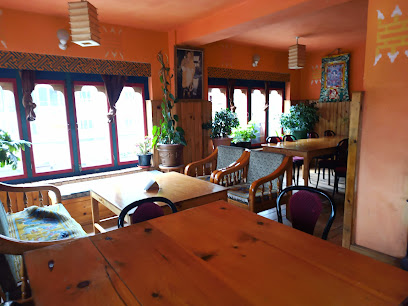
Embrace Nature at Norbuling Community Forest
Discover the serene beauty of Norbuling Community Forest, a national treasure in Bhutan perfect for nature lovers and eco-tourists.
Nestled in Bhutan, Norbuling Community Forest offers a tranquil escape for nature lovers. This national forest is a sanctuary for diverse flora and fauna, making it an ideal destination for eco-tourism and outdoor activities.
A brief summary to Norbuling Community Forest
- P3VX+H4X, BT
Local tips
- Visit early in the morning for the best chance to see wildlife and enjoy cooler temperatures.
- Bring a picnic to enjoy at one of the scenic spots within the forest.
- Wear comfortable shoes suitable for walking on uneven terrain.
- Consider hiring a local guide to enhance your understanding of the forest's ecology and cultural significance.
- Check local weather conditions before your visit to ensure a safe and enjoyable experience.
Getting There
-
Car
If you're traveling by car in Lhuntse District, start your journey by heading towards the main road that connects to the town of Lhuntse. From Lhuntse town, drive towards the direction of the Chhuikhola River. Follow the signs towards the Norbuling Community Forest. The coordinates for the forest are approximately 27.7439958 latitude and 91.0978485 longitude. Keep in mind that the last stretch of the journey may require you to navigate through smaller roads, so be prepared for a more rugged terrain. Parking is available at designated spots near the forest entrance.
-
Public Transportation
For those opting for public transportation, take a local bus or shared taxi from Lhuntse town heading towards Chhuikhola. Ensure you inform the driver of your destination, Norbuling Community Forest. The journey may take about 30-45 minutes, depending on road conditions and stops. Once you reach the closest drop-off point, you may need to walk approximately 1-2 kilometers to the forest entrance. It is advisable to wear comfortable shoes and carry water as the path can be uneven.
-
Walking
If you are already close to Norbuling Community Forest, the last part of your journey might involve some walking. Depending on where you are, navigate through the local paths leading to the coordinates (27.7439958, 91.0978485). Look for local signs or ask villagers for directions if you’re unsure. Walking through the surrounding landscape will provide you with a beautiful view of the forest and the local flora and fauna.
Discover more about Norbuling Community Forest
Iconic landmarks you can’t miss
Lhuntse
9.6 km
Explore Lhuntse, the ancestral home of Bhutan's royal family, where stunning landscapes and rich traditions await every traveler.
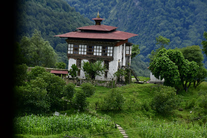
Wind Horse Ranch & Riding Club
25.3 km
Experience the beauty of Bhutan through horseback riding at Wind Horse Ranch & Riding Club in the enchanting Tang Valley.

Tang Chhu River
25.8 km
Discover the tranquility and breathtaking beauty of Tang Chhu River, a hidden gem in Bhutan perfect for nature lovers and adventure seekers.

Kungzandra Monastery
33.6 km
Experience the spiritual serenity of Kungzandra Monastery in Tang Valley, where nature meets rich Buddhist heritage amidst breathtaking landscapes.
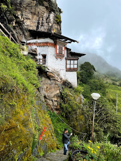
Pema Yang Dzong, Lhakhang, Aja Ney
35.7 km
Experience the spiritual serenity of Pema Yang Dzong, a revered monastery in Bhutan, where tradition and breathtaking landscapes intertwine.
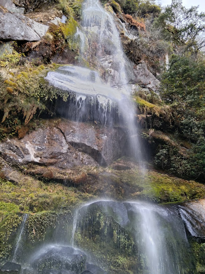
Swiss Guest House Bumthang, Kharsumphe
39.6 km
Discover the charm of Bumthang at Swiss Guest House, where comfort meets Bhutanese hospitality amidst breathtaking landscapes.

Valley Resort ཝེ་ལི་སྐྱིད་གནས།
39.7 km
Discover tranquility at Valley Resort in Jakar, Bhutan, where stunning views, cultural experiences, and relaxation await every traveler.

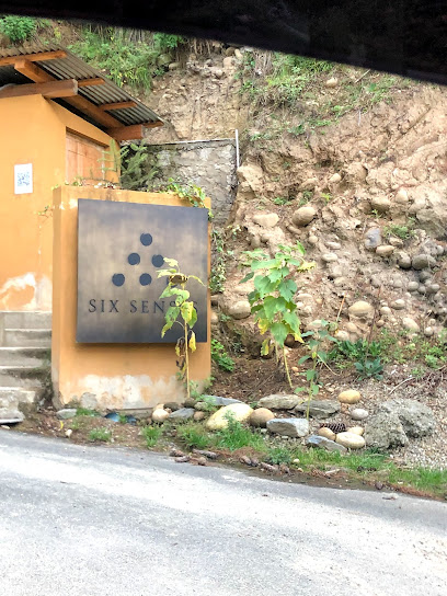
Six Senses Bumthang
39.8 km
Experience the serene luxury of Six Senses Bumthang, a perfect retreat in Bhutan's stunning natural beauty and rich cultural heritage.
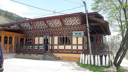
Bumthang Swiss Cheese
39.8 km
Explore the rich flavors of Bhutan at Bumthang Swiss Cheese, a charming shop offering artisanal cheeses and local delights near Bathpalathang Airport.
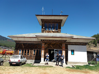
Bumthang Domestic Airport བུམ་ཐང་ནང་འཁོད་གནམ་གྲུ་ཐང་།
40.0 km
Experience the spiritual beauty of Bhutan through the scenic Bumthang Domestic Airport, a tranquil gateway to rich culture and stunning landscapes.
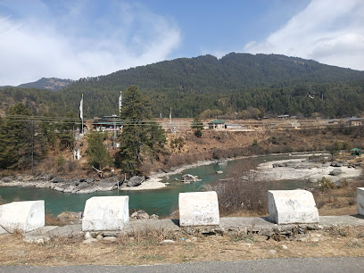
Do Zam
40.1 km
Explore the historical beauty of Do Zam, a remarkable bridge along the Bumthang Chhu River, showcasing Bhutan's rich cultural heritage.
Unmissable attractions to see
Phagizey ཕག་གི་ཟེ།
3.5 km
Explore Phagizey in Shabling: A breathtaking hiking area that showcases Bhutan's stunning landscapes and rich cultural heritage.

Nye Zigzag View Point
3.5 km
Explore the serene landscapes at Nye Zigzag View Point in Shabling, a perfect escape for nature lovers and photographers seeking stunning vistas.
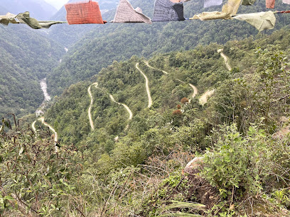
Thonyom
5.1 km
Discover the serene beauty of Thonyom National Forest in Shabling, Bhutan, where lush landscapes and diverse wildlife await your exploration.

JANGCHUBLING བྱང་ཆུབ་གླིང་དགོན་འཛིན་གྲྭ་ཚང་།
7.8 km
Explore the breathtaking beauty and rich cultural heritage of Jangchubling Dzong in Lhuntse, Bhutan - a must-see destination for every traveler.
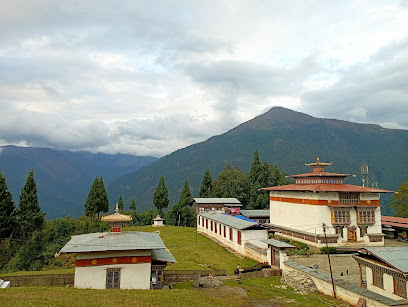
Dungkar Nagtshang
9.0 km
Explore the enchanting Dungkar Nagtshang, a historical landmark in Bhutan that offers breathtaking views and deep cultural insights.
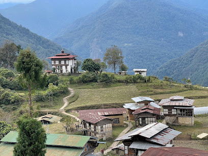
GANGZUR VILLAGE
10.9 km
Experience the serene beauty and rich cultural heritage of Gangzur Village, a hidden gem in the heart of Bhutan's picturesque landscapes.
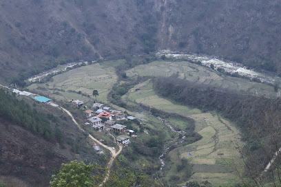
Dengkaling Renyesa Community Forest
11.4 km
Discover the serene beauty of Dengkaling Renyesa Community Forest, a national forest in Lhuntse, Bhutan, perfect for nature lovers and adventure seekers.

Tangbe
11.5 km
Discover breathtaking vistas and serene trails in Tangbe, a hidden hiking gem in Bhutan perfect for nature lovers and adventure seekers.

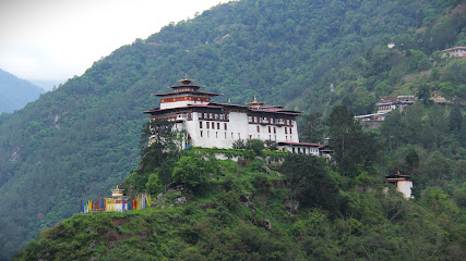
Lhuentse Dzong
12.3 km
Discover the cultural richness and stunning architecture of Lhuentse Dzong, a historic fortress in Bhutan surrounded by breathtaking natural beauty.
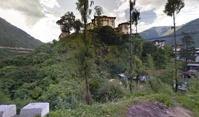
Kilung
12.3 km
Experience the tranquility of Kilung, a serene Buddhist temple in Lhuntse, Bhutan, where spirituality meets breathtaking natural beauty.
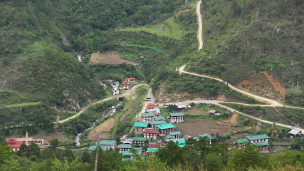
Pangtse
12.4 km
Explore the stunning trails of Pangtse in Bhutan, a hiking area that offers breathtaking views and serene natural beauty for all adventurers.

KHOMA VILLAGE
14.0 km
Explore the serene beauty and rich cultural heritage of Khoma Village, a hidden gem in Bhutan offering authentic experiences and breathtaking landscapes.
Tabung Yargay Community Forest
16.1 km
Explore the breathtaking beauty and tranquility of Tabung Yargay Community Forest in Bhutan, a national forest rich in biodiversity and cultural significance.

Youngma Amdrang Community Forest
18.1 km
Discover the tranquil beauty of Youngma Amdrang Community Forest, a serene national forest in Lhuntse, Bhutan, perfect for nature lovers and adventure seekers.

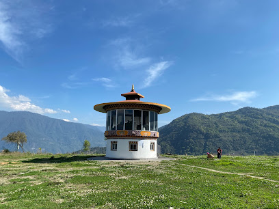
Lhuentse Takela
18.1 km
Explore Lhuentse Takela, a revered pilgrimage site in Bhutan, offering breathtaking views, rich culture, and a serene escape into spirituality.
Essential places to dine
Gurung Restaurant
11.7 km
Experience authentic Bhutanese flavors at Gurung Restaurant in Lhuntse - where tradition meets taste.
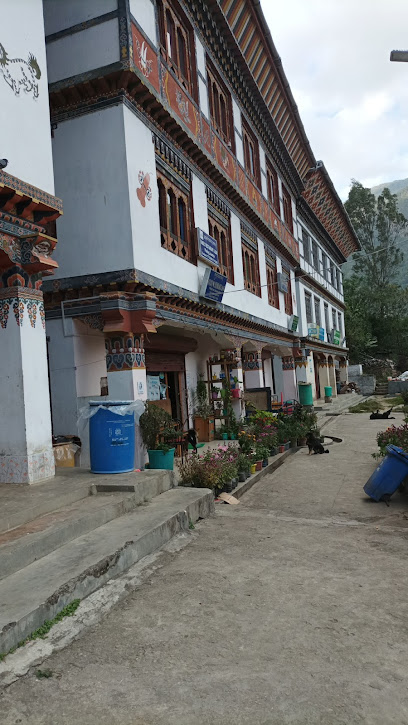
Sonam Restaurant
12.1 km
Experience authentic Bhutanese cuisine at Sonam Restaurant in Paling Town, Lhuntse - where tradition meets taste.

Ugyen Gaki Pelzom Shop
18.4 km
Discover authentic Bhutanese flavors at Ugyen Gaki Pelzom Shop in Lhuntse - where every meal is a celebration of local culinary heritage.
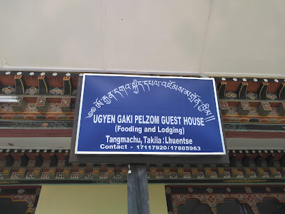
Gakhil Food and Lodge
34.3 km
Experience authentic Bhutanese cuisine at Gakhil Food and Lodge in Ura - a perfect blend of culture, flavor, and breathtaking scenery.

Lhuntshe autsho
34.3 km
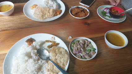
Experience authentic Bhutanese flavors at Lhuntshe Autsho - A hidden gem in Autsho serving traditional dishes made from fresh local ingredients.
Ngawang home stay bumthang tamzhing
39.4 km
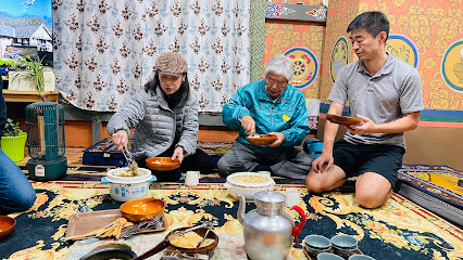
Discover authentic Bhutanese cuisine at Ngawang Home Stay Bumthang – where culture meets comfort in every dish.
TAMSHING DASHO
39.4 km
Discover authentic Bhutanese flavors at Tamshing Dasho in Jakar – a culinary journey through tradition and taste.
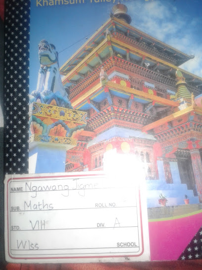
Swiss Guest House Restaurant
39.5 km
Experience authentic Bhutanese flavors at Swiss Guest House Restaurant in Jakar – where culinary tradition meets scenic beauty.
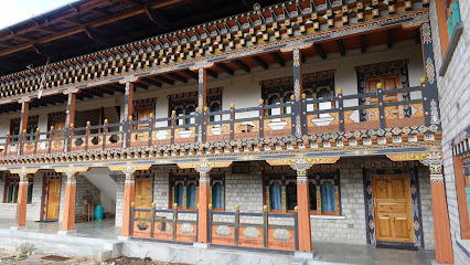
Kharamphay, Tangsibi, Ura, Bumthang
39.6 km
Experience authentic Bhutanese cuisine at Kharamphay in Ura, Bumthang—where every dish tells a story.

Kharchu Canteen
39.7 km
Experience authentic Bhutanese cuisine at Kharchu Canteen in Jakar, where tradition meets flavor amidst stunning monastery views.
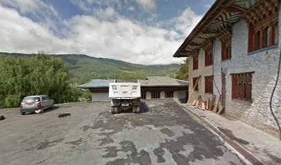
Dawala Restaurant
39.9 km
Discover authentic Bhutanese cuisine at Dawala Restaurant in Bumthang - a must-visit for every traveler seeking local flavors.
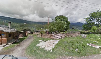
Momo Corner, Bumthang
39.9 km
Experience authentic Bhutanese cuisine at Momo Corner in Bumthang - home of delicious momos and traditional dishes.
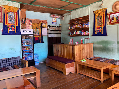
Bonafide Roast & Grill
39.9 km
Discover authentic Bhutanese flavors at Bonafide Roast & Grill in Jakar – where every meal tells a story.
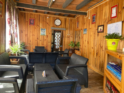
Norzon Restaurant and Bar
39.9 km
Experience authentic Bhutanese cuisine at Norzon Restaurant and Bar in Jakar – where every meal tells a story.
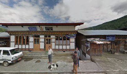
Family Restaurant
39.9 km
Experience authentic Bhutanese flavors at the Family Restaurant in Jakar, where every meal tells a story of tradition and taste.
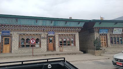
Markets, malls and hidden boutiques
Youngmaling
8.0 km
Explore Youngmaling in Shabling, a unique industrial supermarket blending local culture with modern shopping delights.

Yeshi Peldon Tshongkhang
9.9 km
Explore Bhutan with ease at Yeshi Peldon Tshongkhang, your go-to convenience store for local snacks and essentials.

Gangzur Pottery
10.9 km
Explore the vibrant craftsmanship of Gangzur Pottery in Lhuntse, where tradition meets artistry in every handcrafted piece.

Tshongpon Taula Shop
11.4 km
Discover unique Bhutanese crafts and souvenirs at Tshongpon Taula Shop, a vibrant hub of local culture and artistry.

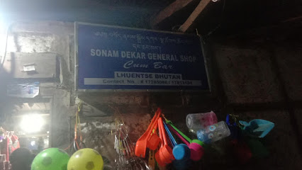
Sonam dekar general shop
11.6 km
Discover the unique offerings of Sonam Dekar General Shop in Lhuntse, a blend of local culture, craftsmanship, and community spirit.
Buddur
11.7 km
Explore the vibrant shopping scene at Buddur in Lhuntse, where tradition meets modern retail and local flavors abound.

Kencho Tshomo General Shop
11.7 km
Explore the heart of Lhuntse at Kencho Tshomo General Shop, a local haven for electric generators and authentic Bhutanese culture.

MDsohel
11.7 km
Experience the essence of Bhutan at MDsohel Kiosk in Lhuntse, where local flavors and stunning views come together in a delightful setting.

Vegetable Market
11.9 km
Explore the Heart of Lhuntse at the Vegetable Market: A Colorful Kaleidoscope of Fresh Produce and Local Culture.
Gadongla Tshongkhang
11.9 km
Explore Gadongla Tshongkhang in Lhuntse: Your gateway to authentic Bhutanese culture and local treasures.
Phuentsho Jamtsho General Shop And Bar
14.0 km
Explore the charm of Khoma at Phuentsho Jamtsho General Shop And Bar, where local culture meets warm hospitality.

Wangchuk Tshongkhang
19.1 km
Explore the unique animal feed store in Bhutan that reflects the rich agricultural traditions and community spirit of the region.

Kunzang Tshongkhang
21.6 km
Discover the essence of Bhutan at Kunzang Tshongkhang, a delightful general store offering local crafts and community warmth.

Gorgan
26.2 km
Explore Gorgan: A charming Iranian city blending rich history, stunning landscapes, and vibrant local culture for an unforgettable experience.

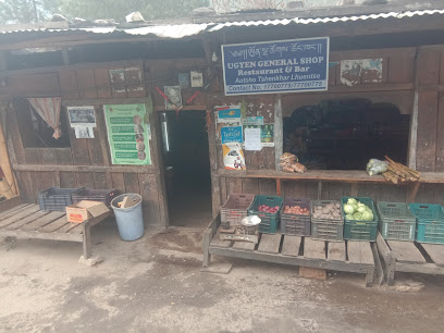
Ugyen general shop
34.1 km
Discover the charm of Ugyen General Shop in Autsho, where local flavors and authentic Bhutanese culture come together in a delightful grocery shopping experience.
Essential bars & hidden hideouts
Pema Weezer restaurant
11.6 km
Experience authentic Bhutanese cuisine at Pema Weezer Restaurant in Phaling, Lhuntse, where local flavors come to life in a cozy setting.

Ura Yurgang
33.7 km
Discover the charm of Ura Yurgang, a local bar in Bhutan where you can relax and experience authentic Bhutanese hospitality.
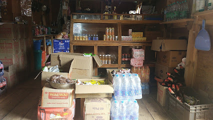
Norbu Yangkhel Shop and Restaurant
34.3 km
Explore the flavors of Bhutan at Norbu Yangkhel Shop and Restaurant in Autsho, where every dish tells a story of tradition and taste.
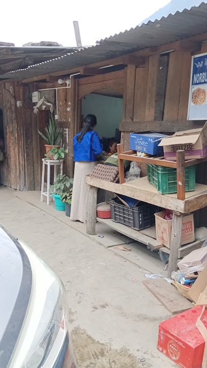
THINLEY PENJOR RESTAURANT
36.3 km
Discover the authentic taste of Bhutan at Thinley Penjor Restaurant in Trashiyangtse, where local flavors and hospitality await.
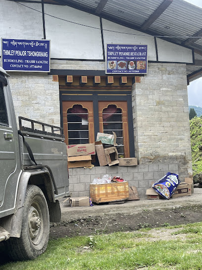
KARMA RESTAURANT
36.3 km
Discover the authentic flavors of Bhutan at Karma Restaurant in Trashiyangtse, where culinary tradition meets local hospitality.

Ugyenling Restaurant and Bar
40.0 km
Savor the flavors of Bhutan in a lively atmosphere at Ugyenling Restaurant and Bar, the perfect blend of traditional cuisine and modern dining.
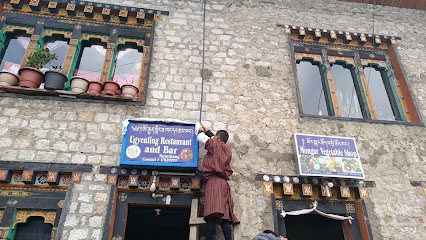
Chenzom Bar
40.1 km
Immerse yourself in the lively atmosphere of Chenzom Bar, where tradition meets modernity in the heart of Jakar, Bhutan.
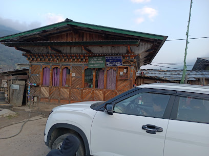
Kuenzang Choden Bar and General Shop
40.2 km
Explore genuine Bhutanese culture at Kuenzang Choden Bar and General Shop, a must-visit stop along the Bumthang-Ura Highway in Jakar.
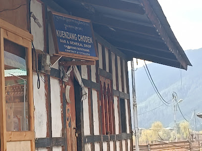
Chomo Restuarent
40.2 km
Experience the authentic flavors of Bhutan at Chomo Restaurant, a vibrant bar in Jakar offering traditional and international cuisine.
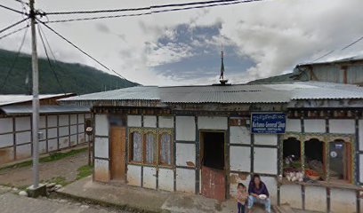
Friends Restaurant & Bar
40.3 km
Experience the flavors of Bhutan at Friends Restaurant & Bar in Jakar, where culinary delights meet warm hospitality in a cozy setting.
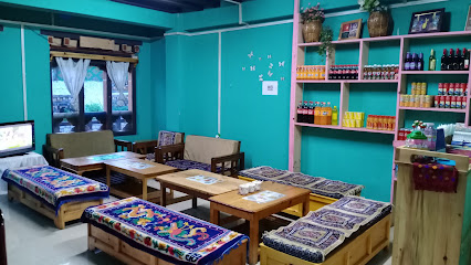
Valley Cafe
40.4 km
Discover the flavors of Bhutan at Valley Cafe, a cozy retreat in Bumthang offering delicious food and a warm atmosphere for all travelers.
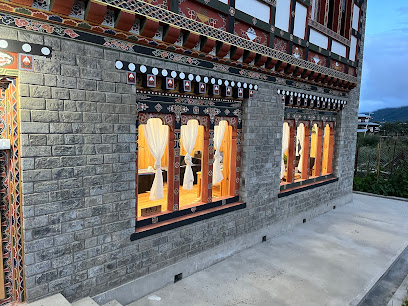
Gyombo general and bar
40.5 km
Experience the vibrant atmosphere and authentic Bhutanese flavors at Gyombo General and Bar in Jakar, a cultural gem for every traveler.
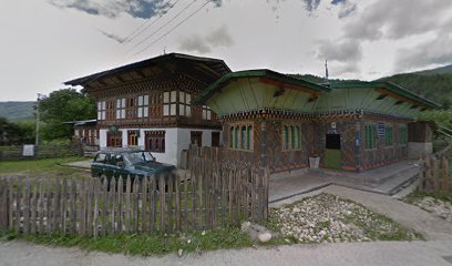
BTCL Guest House
40.5 km
Experience the taste of Bhutan at BTCL Guest House, a cozy restaurant in Jakar, offering authentic local cuisine and warm hospitality.
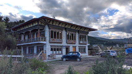
Mountain Resort
40.6 km
Experience the perfect blend of relaxation and adventure at the Mountain Resort in Jakar, Bhutan, surrounded by breathtaking mountain scenery.

Noryang Resturant ནོར་གཡང་ཟ་ཁང་།
40.6 km
Experience the rich flavors of Bhutan at Noryang Restaurant in Jakar – a culinary journey awaits!
