
Majestic Maglić: Bosnia and Herzegovina's Scenic Wonder
Discover the breathtaking beauty of Maglić, Bosnia and Herzegovina's highest peak, a haven for nature lovers and outdoor enthusiasts alike.
Nestled in the heart of Bosnia and Herzegovina, Maglić is a breathtaking scenic spot that offers tourists a chance to immerse themselves in nature. Renowned for its stunning mountain landscapes and rich biodiversity, it is a must-visit destination for hikers, nature lovers, and anyone seeking tranquility. The pristine environment and panoramic views make it an ideal location for photography and outdoor adventures.
A brief summary to Bosnia and Herzegovina Maglic
- 7PJM+W9, Tjentište, BA
Local tips
- Visit during early morning or late afternoon for the best lighting for photography.
- Wear sturdy hiking boots to navigate the rocky trails safely.
- Bring plenty of water and snacks, as amenities are limited in the park.
- Check weather conditions before your visit to ensure a safe hiking experience.
Getting There
-
Car
If you are driving, head towards Tjentište from any location in Podrinje. Use the local roads to connect to the main route (M-20) leading to Tjentište. Once you reach Tjentište, look for the coordinates 7PJM+W9, which will direct you to the scenic area of Maglić. Parking is available nearby.
-
Public Transportation
For those relying on public transport, take a bus from major towns in Podrinje (like Foča or Goražde) to Tjentište. The bus station in Tjentište is centrally located. From the bus station, it is a short walk or a local taxi ride to the coordinates 7PJM+W9, where the scenic spot of Maglić is located. Be sure to check the bus schedule in advance as it may vary.
-
Walking
Once you are in Tjentište, if you prefer to walk, head southeast from the bus station towards the indicated coordinates (7PJM+W9). The walk should take approximately 20-30 minutes. Follow the signs to Maglić, and enjoy the scenic views along the way. Ensure you wear comfortable walking shoes.
Discover more about Bosnia and Herzegovina Maglic
Iconic landmarks you can’t miss
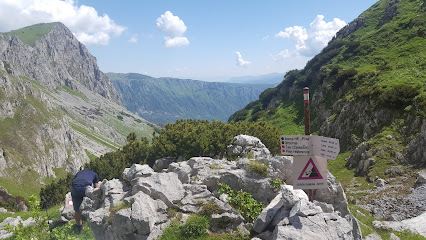
Presjeka
3.8 km
Discover the breathtaking beauty of Presjeka, a stunning cliff in Montenegro that offers unparalleled views and thrilling outdoor adventures.
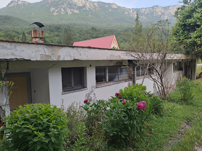
Omladinski kamp Tjentište
8.6 km
Discover the serene beauty of Omladinski Kamp Tjentište in Sutjeska National Park, where adventure meets tranquility amidst stunning landscapes.
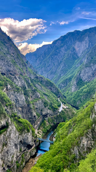
Piva Dam, Brana Piva
8.9 km
Discover the breathtaking views and engineering marvel of Piva Dam, a serene destination nestled in the heart of Montenegro's stunning landscapes.
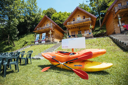
Camp Sutjeska
10.1 km
Experience nature's embrace at Camp Sutjeska, a serene getaway in Tjentište with stunning landscapes, comfortable lodging, and delicious local cuisine.

Rafting Centar Tara-Raft
11.0 km
Experience the thrill of rafting and the beauty of nature at Tara-Raft, a premier adventure and camping destination in Bosnia and Herzegovina.
Zelengora
17.1 km
Experience the breathtaking beauty of Zelengora Mountain Peak, a natural paradise in Bosnia & Herzegovina for hikers and nature lovers alike.
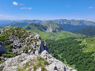
Rafting Kamp Stari Dud
18.4 km
Discover the ultimate adventure at Rafting Kamp Stari Dud in Mješaji, where thrilling rafting meets serene natural beauty.
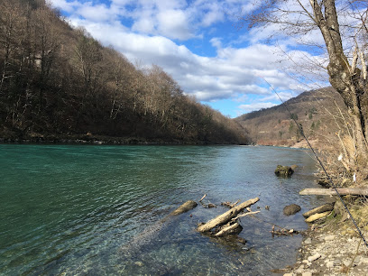
Piva Monastery
20.4 km
Experience the tranquility and historical richness of Piva Monastery, a hidden gem in Montenegro's stunning landscape.
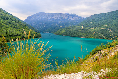
Restoran Antik
22.7 km
Discover the heart of Bosnian cuisine at Restoran Antik in Brod, where authentic flavors and warm hospitality create an unforgettable dining experience.
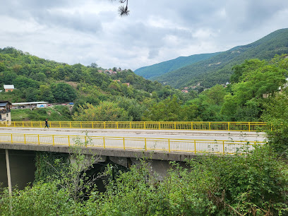
Viewpoint Nedajno - Susica canyon
22.8 km
Experience unparalleled views of Susica Canyon at Viewpoint Nedajno, a natural oasis in Montenegro perfect for nature lovers and photographers.
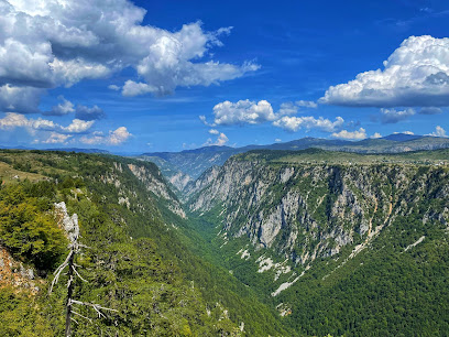
Adventure Bosnia and Herzegovina
24.6 km
Explore the breathtaking landscapes of Bosnia and Herzegovina with Adventure Bosnia and Herzegovina, where unforgettable outdoor adventures await.
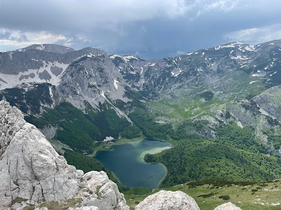
Mosque and medressa of Mehmed-pasha Kukavica, ruined remains
25.0 km
Discover the historic ruins of Mehmed-Pasha Kukavica Mosque and Medressa in Foča, a captivating glimpse into Bosnia's Ottoman heritage.
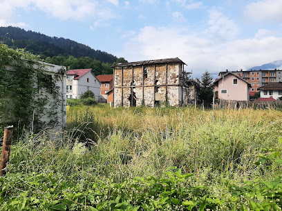
Clock tower of Mehmed-pasha Kukavica
25.1 km
Discover the iconic Clock Tower of Mehmed-pasha Kukavica in Foča, a historical gem that embodies the rich cultural heritage of Bosnia and Herzegovina.
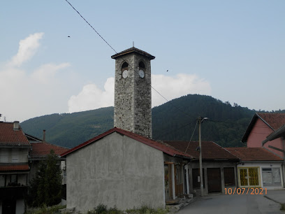
Javor, Foča Republika Srpska
25.1 km
Explore the serene beauty of Javor in Foča, Republika Srpska – a perfect escape for nature lovers and cultural adventurers.

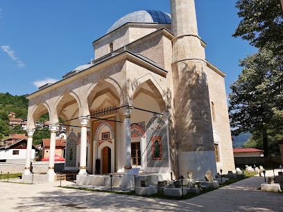
Aladža Džamija
25.1 km
Explore the architectural beauty and serene ambiance of Aladža Džamija, an exquisite mosque in Foča, Bosnia and Herzegovina.
Unmissable attractions to see
Maglić
0.1 km
Explore Maglić, Bosnia's highest peak, for breathtaking views, rich biodiversity, and unforgettable hiking adventures in Sutjeska National Park.
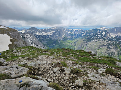
Crnogorski Maglić
0.6 km
Experience the breathtaking beauty of Crnogorski Maglić, Montenegro's highest peak, where adventure meets stunning natural landscapes.
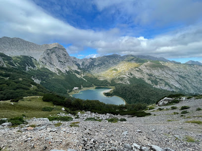
Montenegrin Maglic (2389 m)
0.7 km
Explore the breathtaking trails and stunning views of Montenegrin Maglic, Montenegro's highest peak and a paradise for outdoor enthusiasts.
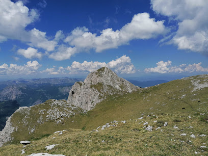
Vidikovac Prijevor
2.1 km
Experience breathtaking views at Vidikovac Prijevor, a premier observation deck showcasing the natural beauty of Bosnia & Herzegovina.
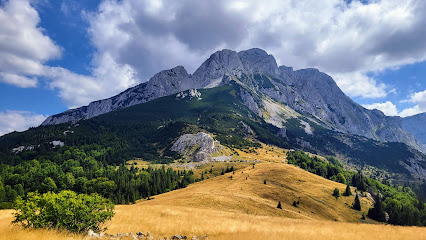
Perućica Primeval Forest
2.9 km
Discover the breathtaking beauty of Perućica Primeval Forest, a UNESCO World Heritage Site in Bosnia and Herzegovina, where nature thrives untouched.
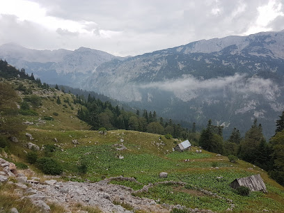
Kom
3.1 km
Discover the breathtaking Kom peak in Montenegro, where adventure meets tranquility in stunning natural landscapes.
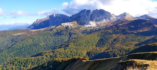
Trnovačko Lake
3.4 km
Experience the breathtaking tranquility of Trnovačko Lake in Montenegro, a hidden gem for nature lovers and adventurers alike.
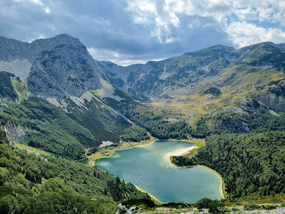
Trnovačko jezero
3.6 km
Discover the serene beauty of Trnovačko Jezero, a hidden swimming lake in Montenegro, surrounded by stunning mountain landscapes.
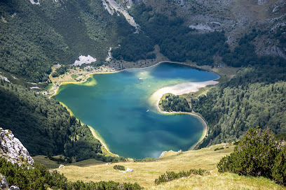
Smaller Mratinje lake
4.4 km
Experience the serene beauty of Smaller Mratinje Lake, a hidden gem in Montenegro perfect for nature lovers and tranquil escapes.

Aussichtspunkt Dragoš Setlo
5.0 km
Discover the stunning vistas and serene hiking trails at Aussichtspunkt Dragoš Setlo, a must-visit viewpoint in Tjentište, Bosnia and Herzegovina.
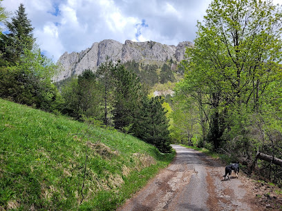
Perućica
5.4 km
Explore the breathtaking beauty of Perućica National Forest, a UNESCO World Heritage site with lush landscapes, diverse wildlife, and serene trails.
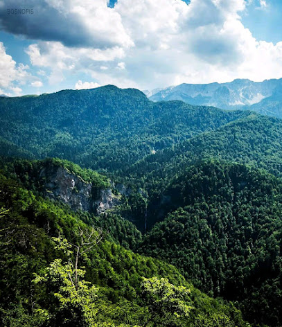
Staza zdravlja
7.5 km
Experience the natural beauty of Staza zdravlja, a premier hiking destination in Tjentište, perfect for leisurely walks and adventurous hikes.
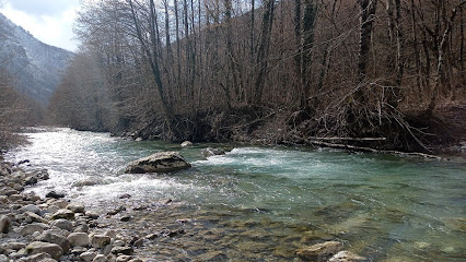
Battle of Sutjeska Museum
7.8 km
Discover the poignant history of the Battle of Sutjeska at the museum in Bosnia and Herzegovina, surrounded by breathtaking natural beauty.
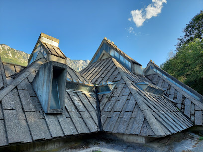
Valley of Heroes
8.0 km
Discover the Valley of Heroes, where history meets breathtaking nature in Tjentište, Bosnia and Herzegovina.
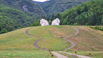
Sutjeska National Park
8.0 km
Discover the stunning landscapes, rich wildlife, and historical significance of Sutjeska National Park in Bosnia and Herzegovina, a must-visit destination for nature lovers.
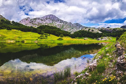
Essential places to dine
Kamp Sutjeska
5.4 km
Experience authentic Bosnian cuisine at Kamp Sutjeska in Tjentište – where every meal is a journey into local flavors.
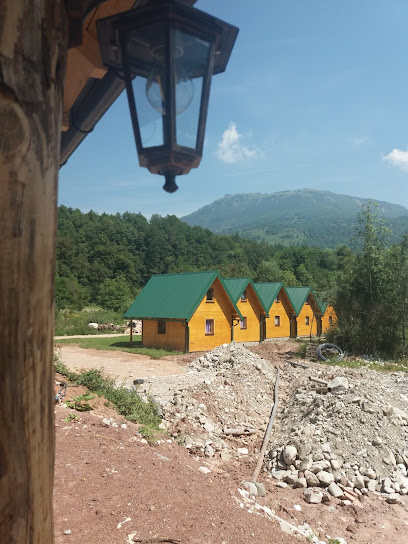
Hotel Mladost - NP Sutjeska
8.5 km
Discover serenity at Hotel Mladost in NP Sutjeska - where comfort meets nature's breathtaking beauty.
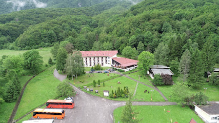
Ресторан Саставци / Restoran Sastavci
9.5 km
Savor traditional Bosnian dishes with stunning views at Restoran Sastavci in Izgori.
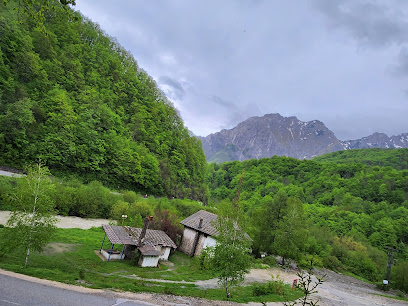
Restoran Tentorium Tjentište
10.0 km
Discover culinary treasures at Restoran Tentorium Tjentište in Sutjeska National Park - where local flavors meet stunning natural beauty.
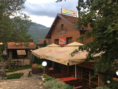
Restoran Sočica
16.5 km
Experience authentic Montenegrin cuisine with stunning views at Restoran Sočica in Pluzine.
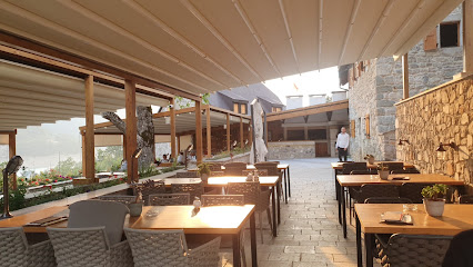
Restoran Jezero
16.7 km
Discover authentic Montenegrin cuisine with stunning lakeside views at Restoran Jezero in Pluzine.
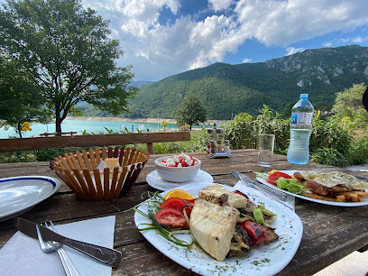
Zvono Jazz Restaurant
16.8 km
Experience exquisite dining at Zvono Jazz Restaurant in Plužine, Montenegro - where delicious cuisine meets enchanting live jazz music.

Welcome to the Silence
18.0 km
Experience serenity at Pivsko Jezero - Montenegro's hidden gem with stunning landscapes and organic dining.
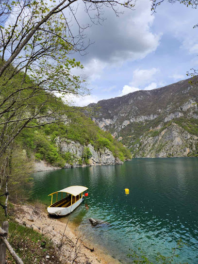
Motel Brioni
24.1 km
Experience authentic Bosnian hospitality at Motel Brioni - where comfort meets exquisite local cuisine in beautiful Foča.
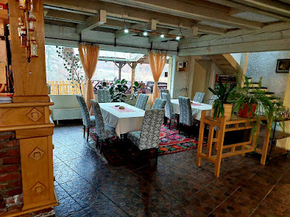
Arsić, Restoran
25.2 km
Discover authentic Bosnian cuisine at Arsić, Restoran in Foča – where every dish tells a story.

Devetka
25.4 km
Experience authentic Bosnian cuisine at Devetka in Foča – where every dish tells a story of flavor and tradition.
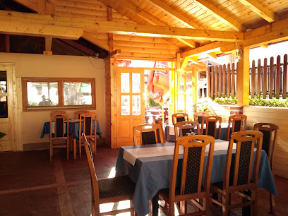
Ribarski restoran Foča
25.4 km
Experience authentic Bosnian cuisine at Ribarski Restoran Foča, where fresh seafood meets local flavors in a charming setting.
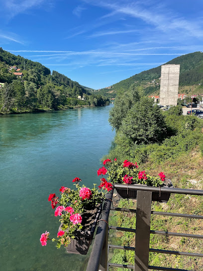
Shanti Food Foča
25.9 km
Discover the vibrant flavors and cozy atmosphere at Shanti Food Foča – where culinary tradition meets modern dining.

Momčilov Grad
30.6 km
Savor exquisite Montenegrin cuisine at Momčilov Grad in Bosača - a culinary gem surrounded by nature's beauty.
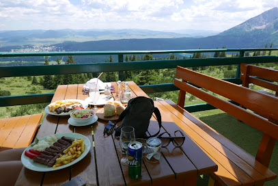
Nacionalni restoran Crno jezero
33.1 km
Experience authentic Montenegrin cuisine at Nacionalni restoran Crno jezero with stunning mountain views and warm hospitality.
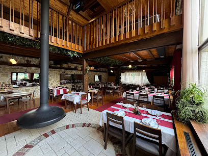
Markets, malls and hidden boutiques
Market Košuta
9.0 km
Discover the vibrant local culture at Market Košuta, Tjentište's charming general store offering fresh produce and artisanal goods.
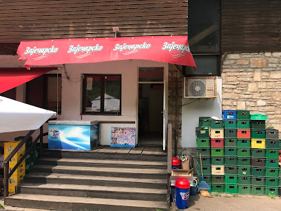
Supermarket
9.0 km
Discover local flavors and essentials at Tjentište's charming supermarket, your gateway to authentic Bosnian culinary delights.

Nepostojeci Supermarket
9.0 km
Explore Tjentište's local flavors at Nepostojeci Supermarket, where fresh produce and friendly service await every traveler.

Outdoor Bosnia
10.3 km
Experience the natural beauty of Bosnia with thrilling outdoor adventures at Outdoor Bosnia, your gateway to unforgettable equestrian and hiking experiences.
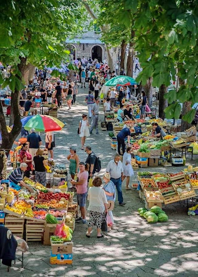
Piva
10.7 km
Experience the breathtaking beauty and tranquility of Piva's pristine waters, a perfect destination for nature lovers and adventure seekers alike.
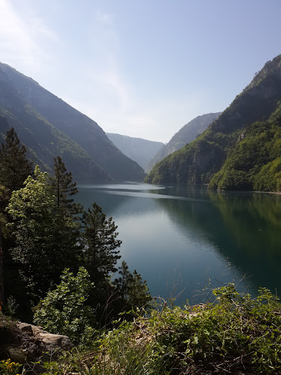
Tourist Info centar / Nature Park Piva
11.6 km
Discover the breathtaking landscapes and rich biodiversity at Nature Park Piva's Tourist Info Center in Montenegro.

Trio Lux Resort-Rafting Tara
12.4 km
Discover the perfect blend of adventure and relaxation at Trio Lux Resort-Rafting Tara, where nature’s beauty meets thrilling experiences.
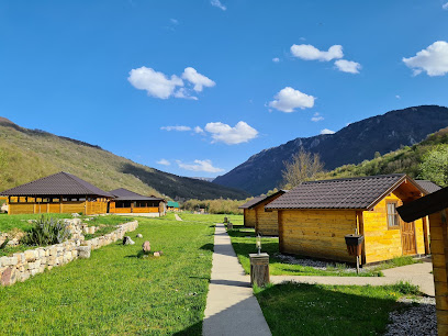
"Pivsko Jezero" shop for local products
16.4 km
Explore the charm of Montenegro at Pivsko Jezero shop, where local products and authentic souvenirs await your discovery.
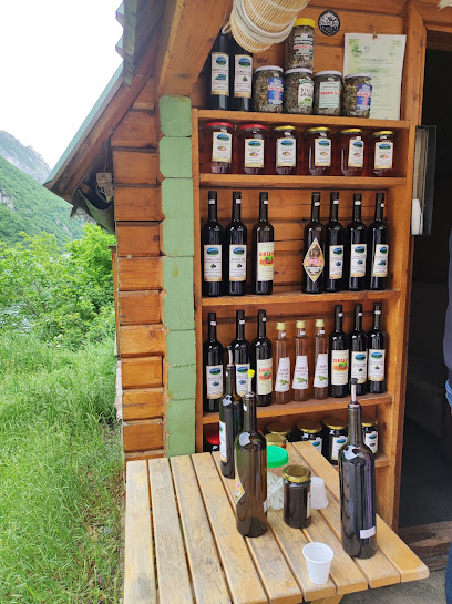
Restaurant eko piva
16.6 km
Experience authentic Montenegrin cuisine at Restaurant Eko Piva, nestled by the stunning Piva Lake, blending delicious food with breathtaking views.

Organiko
17.5 km
Explore Organiko in Mješaji for fresh, local organic produce and specialty goods to elevate your culinary experience.
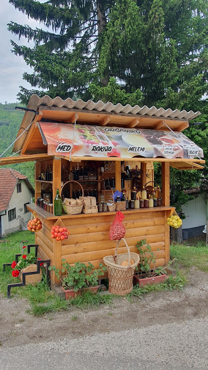
4NORTH SHOP
19.5 km
Explore the finest organic products at 4NORTH SHOP, a delightful destination for health-conscious travelers in Montenegro.
Kafana
19.6 km
Discover the charm of Kafana in Pišče, Montenegro, where local flavors and warm hospitality create an unforgettable experience.
Domaći proizvodi
21.5 km
Explore the natural beauty of Montenegro at Domaći proizvodi, a farm-to-table experience where you can pick your own fresh produce.
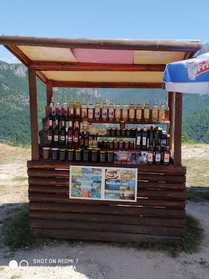
Kroisant
22.7 km
Explore Kroisant in Đeđevo for a unique selection of home goods that capture the essence of local craftsmanship and style.
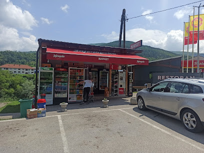
STR Nole
24.6 km
Explore STR Nole, the shopping haven in Foča, offering a blend of local and international shopping experiences alongside delightful dining options.
Essential bars & hidden hideouts
VILLA SILVER I i II
7.7 km
Discover the serene charm of Villa Silver, a wellness hotel in Tjentište where nature meets comfort, perfect for relaxation and rejuvenation.
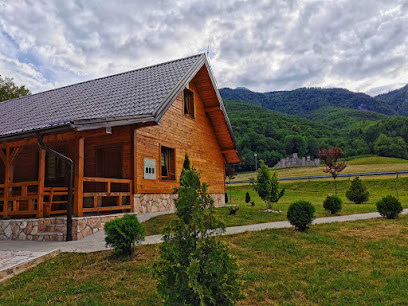
Restauran Komlen
7.8 km
Experience the authentic taste of Bosnian barbecue at Restauran Komlen in Szarajevó, where tradition meets flavor in every dish.

Galija
16.7 km
Experience the vibrant atmosphere of Galija, a premier bar in Pluzine, offering local drinks and live music in a cozy setting.

Jezero Desivoje
17.2 km
Experience the tranquility of Jezero Desivoje, a bar that offers stunning views and a vibrant atmosphere in Ulinje, Bosnia and Herzegovina.
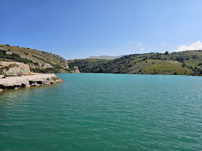
Braća Kovačević
19.5 km
Experience the essence of Balkan cuisine at Braća Kovačević, a top-rated restaurant in Trbušće, Bosnia and Herzegovina.
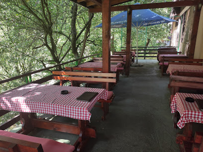
Pub DOWNTOWN Gacko
20.6 km
Discover the lively ambiance and authentic flavors at Pub DOWNTOWN Gacko, where locals and tourists come together to enjoy great food and drinks.

Caffe bar Royal
20.7 km
Experience the vibrant atmosphere and local charm of Caffe Bar Royal, a must-visit destination for tourists in Gacko, Bosnia and Herzegovina.

Motel Bavaria
21.6 km
Experience adventure and comfort at Motel Bavaria in Đeđevo, where outdoor excitement meets local culinary delights.

The Filldler hoodler
24.0 km
Experience the charm of an Irish pub with local herbal delights at The Filldler Hoodler in Montenegro, where culture meets culinary excellence.
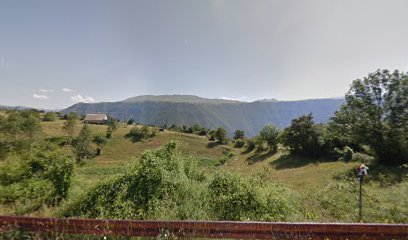
Hemingway Pub
25.0 km
Experience the vibrant local culture at Hemingway Pub in Foča - your go-to destination for drinks and camaraderie in Bosnia.
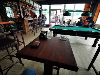
Caffe Bar RIVER
25.0 km
Experience the cozy ambiance and local flavors at Caffe Bar RIVER, a must-visit bar in the heart of Foča, perfect for every traveler.

Cafe Klub
25.1 km
Discover the cozy charm of Café Klub in Foča, where great coffee and friendly faces await you in a delightful atmosphere.
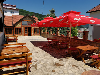
Kings Square
25.2 km
Experience the fusion of local flavors and modern cuisine at Kings Square, a top gastropub in the heart of Foča.

Моцарт
25.2 km
Experience the rich flavors of Bosnia at Моцарт, Foča's premier restaurant offering a modern twist on traditional cuisine.
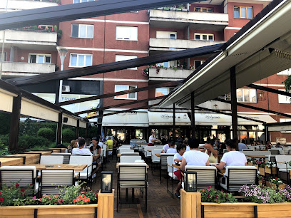
Black&White caffe bar
25.3 km
Experience the vibrant atmosphere and delightful beverages at Black&White Caffe Bar in Foča, where modern charm meets local culture.


