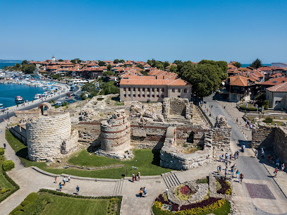
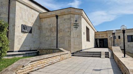
Discover the Historical Charm of Nessebar's Relief Map
Explore Nessebar's Relief Map and immerse yourself in the historical wonders of this UNESCO World Heritage Site for an unforgettable travel experience.
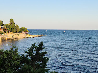
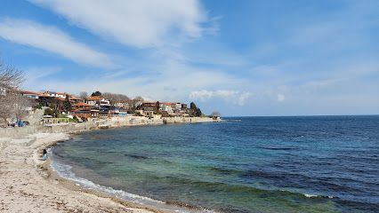
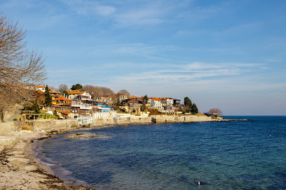
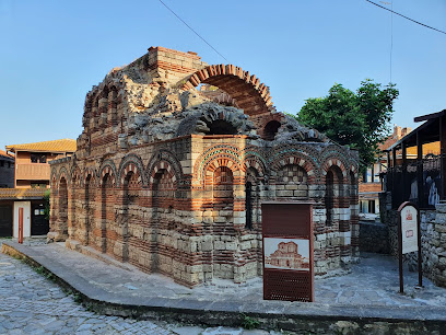
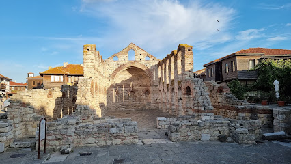
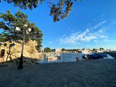
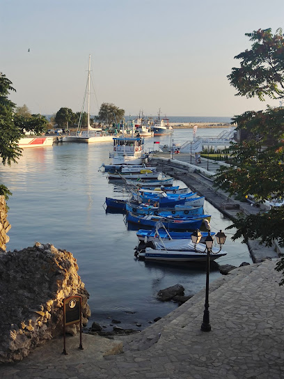
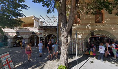
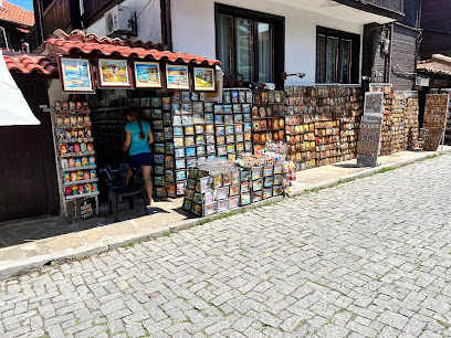
Step into the past at the Relief Map of Staria Nessebar, a captivating tourist attraction that showcases the rich history and architectural beauty of this UNESCO World Heritage Site. Explore intricate details that bring the ancient town to life while enjoying stunning views of the surrounding landscape.
A brief summary to Релефна карта на Стария Несебър
- Nessebar, Staria Grad, BG
Local tips
- Visit early in the morning to avoid crowds and enjoy peaceful views of the map.
- Bring your camera; the scenic views from the map are perfect for stunning photographs.
- Combine your visit with a walking tour of Staria Grad to fully appreciate the historical context.
- Check local guides for any special events or exhibitions at the site during your visit.
Getting There
-
Walking
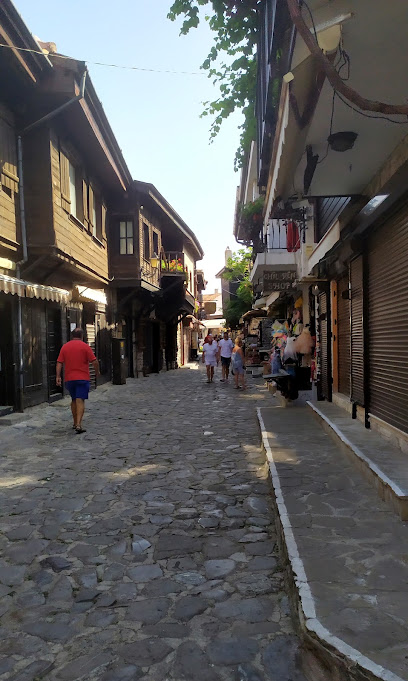
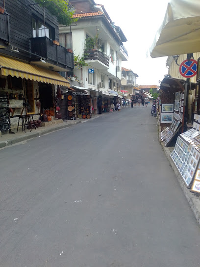
If you are already in Nessebar, the best way to reach Релефна карта на Стария Несебър is by walking. Start from the main square in Nessebar, where you can find the Church of St. John the Baptist. Head southeast towards the coast and follow the path along the waterfront. Continue along the promenade until you reach the entrance of the Old Town (Staria Grad). Once you enter the Old Town, keep walking straight. Релефна карта на Стария Несебър is located on your right side, near the historical buildings and attractions, specifically at the address Staria Grad, 8231 Nessebar.
-
Car
If you are driving, head towards the Old Town of Nessebar. There is limited parking available, so it is recommended to park at the designated parking areas near the entrance of the Old Town. Once you park, make your way towards the entrance of Staria Grad. Walk towards the coastline and follow the same route as described for walking. The exact address is Staria Grad, 8231 Nessebar, and the GPS coordinates are approximately 42.6586436, 27.7307807.
-
Public Transportation
If you are using public transportation, take a local bus that services Nessebar. Buses run regularly from nearby cities like Burgas and Sunny Beach. Get off at the Nessebar bus station. From there, it is about a 15-minute walk to Релефна карта на Стария Несебър. Exit the bus station and head towards the Old Town by following the signs. Once you reach the entrance of Staria Grad, follow the coastal path as described in the walking directions to reach your destination.
Discover more about Релефна карта на Стария Несебър
Iconic landmarks you can’t miss
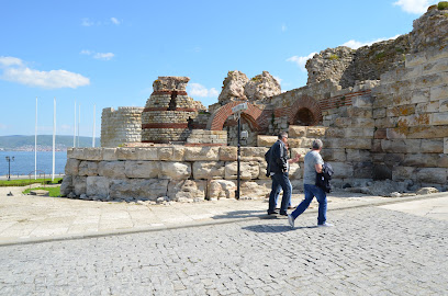
Fortification Walls
0.0 km
Discover the ancient Fortification Walls of Nessebar, a UNESCO World Heritage Site that reveals the rich history and stunning coastal views of Bulgaria.
Несебър
0.1 km
Discover Nessebar, a captivating historical landmark with ancient ruins, stunning sea views, and a rich cultural heritage on Bulgaria's Black Sea coast.
Tower Nessebar
0.1 km
Discover the grandeur of Tower Nessebar, a medieval fortress showcasing Bulgaria's rich heritage and breathtaking coastal views.
Augmented reality fortress of Messambria
0.1 km
Experience history come to life at the Augmented Reality Fortress of Messambria in Nessebar, where ancient ruins meet modern technology.
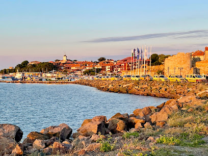
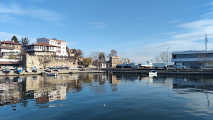
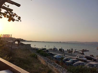
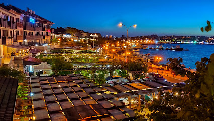
Port Nessebar
0.1 km
Experience the stunning marina of Port Nessebar, a historic gem by the Black Sea, where culture, beauty, and adventure come together.
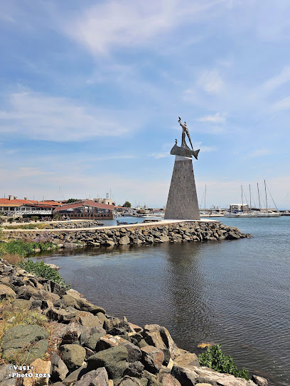
Statue of St. Nicholas / Noah
0.1 km
Discover the enchanting Statue of St. Nicholas in Nessebar, a symbol of maritime heritage and artistic beauty along Bulgaria's stunning coastline.
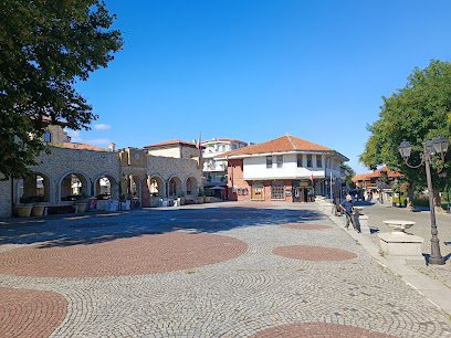
Площадь Месамбрия
0.2 km
Experience the charm of Nessebar at Ploshchad Mesembriya: history, culture, and breathtaking Black Sea views converge in this ancient square.
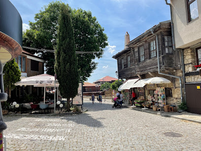
Old Nessebar
0.3 km
Uncover the historical wonders and culinary delights of Old Nessebar, a gem of Bulgaria's Black Sea coast, where every corner tells a story.
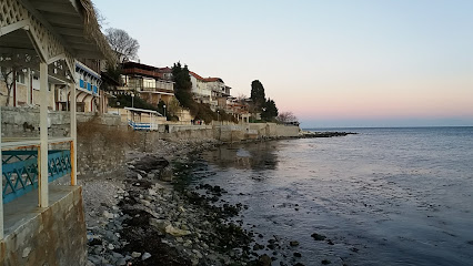
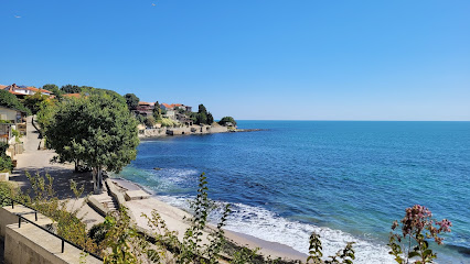
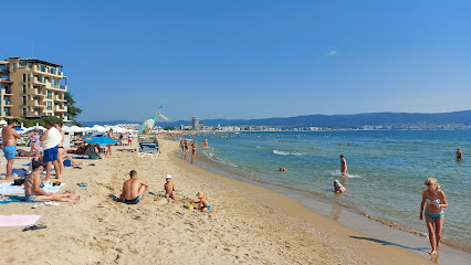
Плаж Стария Град
0.3 km
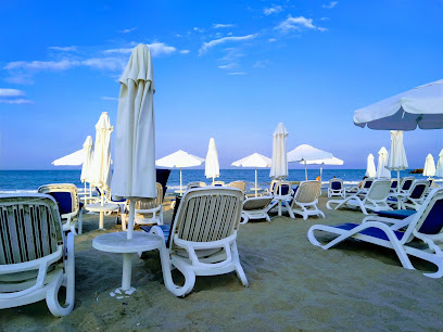
Soak up the sun and history at Плаж Стария Град, Nessebar – where golden sands meet ancient wonders on the Black Sea coast.
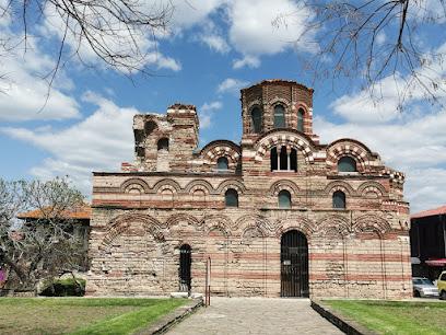
Church of the Holy Saviour or Sveti Spas
0.3 km
Discover the architectural beauty and historical significance of the Church of the Holy Saviour, a must-see landmark in Nessebar's ancient town.
Kierunki świata
0.3 km
Explore Staria Grad, Nessebar - A UNESCO World Heritage Site blending history, culture, and breathtaking coastal views in Bulgaria.
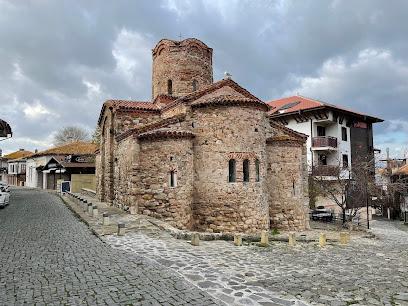
Church of the Holy Archangels Michael and Gabriel
0.4 km
Explore the medieval charm of Nessebar at the Church of the Holy Archangels Michael and Gabriel, a UNESCO World Heritage Site gem.
Old Town Nessebar
0.4 km
Discover the enchanting Old Town Nessebar, a UNESCO World Heritage site with stunning architecture, rich history, and breathtaking sea views. A must-visit in Bulgaria!
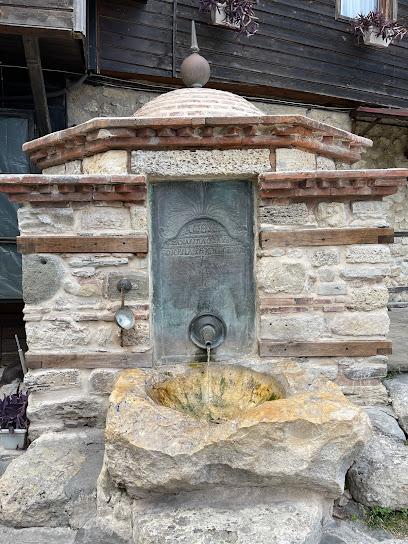
Stone fountain
0.4 km
Discover the historical charm of Nessebar at the Stone Fountain, a captivating landmark that reflects Bulgaria's rich cultural heritage.
Saint Vlahara Church
0.5 km
Explore the rich history and breathtaking beauty of Saint Vlahara Church, a stunning Byzantine gem in the heart of Nessebar, Bulgaria.
Unmissable attractions to see
Nesebar Archaeological Museum
0.0 km
Discover the treasures of Bulgaria's heritage at the Nesebar Archaeological Museum, where ancient artifacts tell the story of a vibrant past.
Западна крепостна стена
0.0 km
Discover the breathtaking views and rich history of the Western Rampart in Nessebar, a jewel of Bulgarian heritage overlooking the Black Sea.
Nessebar UNESCO Sign
0.0 km
Explore Nessebar's ancient streets, churches, and ruins – a UNESCO World Heritage site where history comes alive on Bulgaria's Black Sea coast.
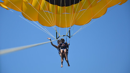
Parasailing Nessebar
0.1 km
Discover the breathtaking views of Nessebar from the sky while enjoying an unforgettable parasailing adventure over the Black Sea.
The Old Anchor
0.1 km
Discover Nessebar's maritime charm at The Old Anchor, a picturesque spot with harbor views and rich history in the heart of the ancient town.
Angelo Roncalli (Pope John XXIII) Point
0.1 km
Experience the serene beauty and historical significance of Angelo Roncalli Point in Nessebar, a must-visit tourist attraction on the Black Sea coast.
Morska gara
0.1 km
Discover the tranquil beauty of Morska Gara Park in Nessebar, where nature meets stunning views of the Black Sea, perfect for relaxation and exploration.
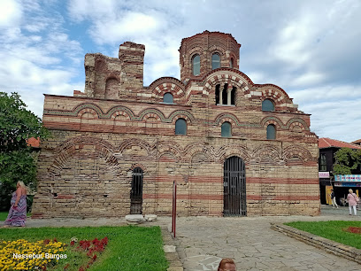
Church of Christ Pantokrator
0.2 km
Explore the stunning medieval Church of Christ Pantokrator in Nessebar's Old Town, a UNESCO World Heritage Site and architectural gem.
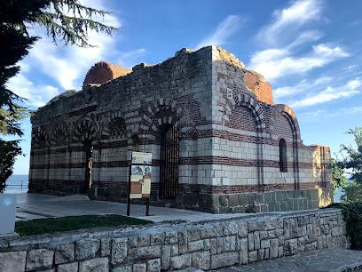
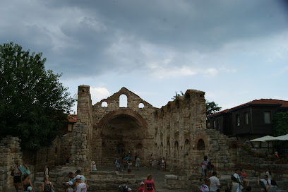
Church of St John Aliturgetos
0.2 km
Discover the architectural marvel and historical significance of the Church of St. John Aliturgetos in Nessebar's enchanting old town.
"Saint Stephen" Church
0.2 km
Discover the medieval artistry of Saint Stephen Church in Nessebar, a UNESCO World Heritage site with stunning frescoes and Byzantine architecture.
The Windmill, Nessebar
0.2 km
Discover the historical beauty of the Windmill in Nessebar, a charming landmark that embodies the maritime heritage of Bulgaria's coastal town.
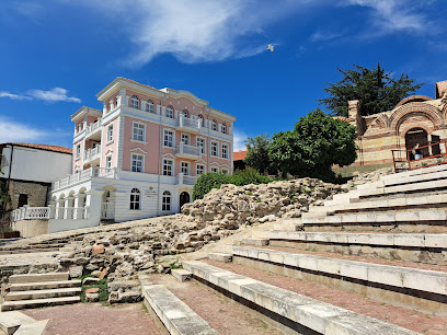
Ancient Theatre
0.3 km
Explore the Ancient Theatre in Nessebar, a historical landmark that showcases Bulgaria's rich heritage and offers stunning views of the Black Sea.
Nessebar - místo setkání
0.3 km
Explore Nessebar, an ancient town on the Black Sea with rich history, stunning architecture, and beautiful beaches, perfect for every traveler.
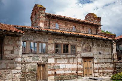
Church of Saint John the Baptist
0.3 km
Explore the medieval Church of Saint John the Baptist in Nessebar, a UNESCO World Heritage site showcasing remarkable Byzantine architecture and history.
Ранновизантийски терми
0.3 km
Discover the ancient charm of Rannovizantiskyi Termi in Nessebar, a historical landmark showcasing intricate architecture and rich cultural heritage.
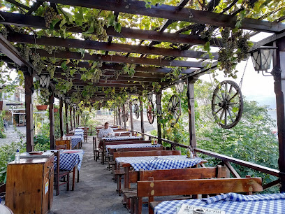
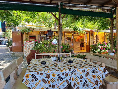
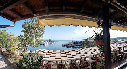
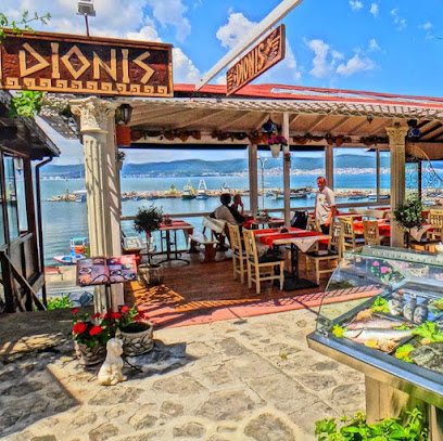
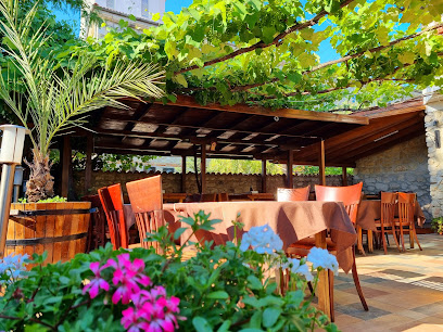
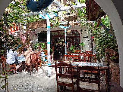
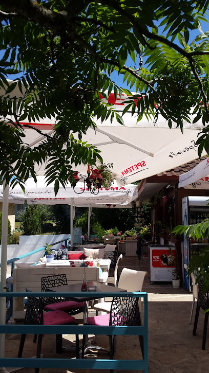
Essential places to dine
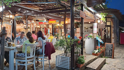
Restaurant Kristal
0.1 km
Experience authentic Bulgarian cuisine at Restaurant Kristal in Nessebar's historic Staria Grad with stunning sea views.
Bistro Aquamarin
0.1 km
Discover the flavors of Bulgaria at Bistro Aquamarin in Nessebar - where tradition meets modern culinary excellence.
Restorant Kalisto
0.1 km
Discover authentic Bulgarian cuisine at Restorant Kalisto in Nessebar's historic Staria Grad.
Restaurant Romantica & Panorama
0.1 km
Experience exquisite dining at Restaurant Romantica & Panorama in Nessebar - where local flavors meet stunning coastal views.
Dionis
0.1 km
Experience authentic Bulgarian cuisine at Dionis in Nessebar – perfect for families seeking delicious meals and warm hospitality.
Dono Food & Drinks
0.2 km
Experience authentic Bulgarian cuisine at Dono Food & Drinks in the heart of Nessebar's historic district.
The Old Andromeda Restaurant/ Старата Андромеда
0.3 km
Experience exquisite Mediterranean flavors at The Old Andromeda Restaurant in Nessebar – where culinary tradition meets modern taste.
Familia Fish & Grill
0.3 km
Discover culinary excellence at Familia Fish & Grill with stunning Black Sea views and authentic Bulgarian seafood delicacies.
Plakamoto
0.3 km
Experience authentic Bulgarian cuisine at Plakamoto in Nessebar's historic Staria Grad district—where tradition meets taste.
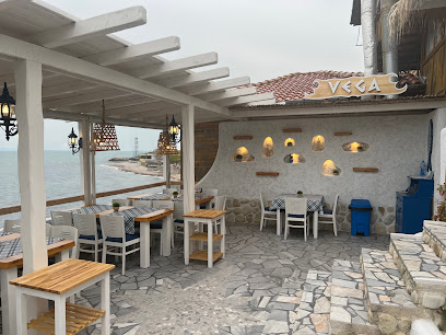
Vega
0.4 km
Experience authentic Bulgarian cuisine at Vega, located in the enchanting Staria Grad area of Nessebar.
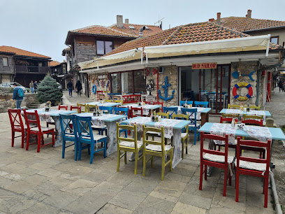
Old Sailor
0.4 km
Discover Old Sailor in Nessebar for an authentic seafood experience with stunning views and rich Bulgarian flavors.
Restaurant “Zornitsa”
0.4 km
Discover exquisite seafood dining at Restaurant Zornitsa in Nessebar’s historic Staria Grad - a must-visit for food lovers!
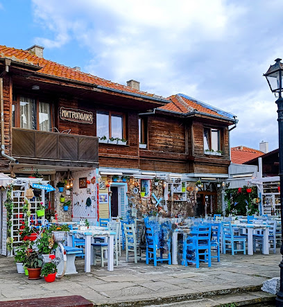
Metropolia Restaurant
0.5 km
Discover authentic Bulgarian cuisine at Metropolia Restaurant in Nessebar - where tradition meets taste.
Restaurant Stariya Kavak The Old Tree
0.5 km
Experience authentic Bulgarian cuisine at Restaurant Stariya Kavak The Old Tree in historic Nessebar - where tradition meets taste.
Restaurant Prince Cyril
0.5 km
Savor authentic Bulgarian flavors at Restaurant Prince Cyril in Nessebar - where fresh seafood meets tradition in a cozy atmosphere.
Markets, malls and hidden boutiques
Bulgarian Rose
0.1 km
Discover the essence of Bulgaria at Bulgarian Rose, your go-to souvenir store in Nessebar for authentic handcrafted gifts and treasures.
pandora Nesebar
0.1 km
Explore Pandora Nesebar: A Shopping Mall Infused with the Rich History of Nessebar, Bulgaria. Experience Modern Retail Amidst Timeless Charm.
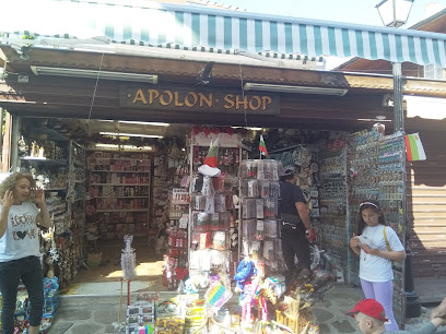
Apolon Shop
0.2 km
Discover unique local crafts and souvenirs at Apolon Shop in Nessebar, a charming store in the heart of this historic seaside town.
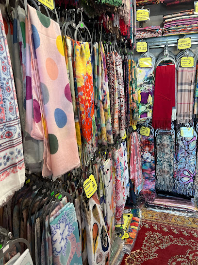
kashmiri bg
0.2 km
Explore Kashmiri BG in Nessebar for exquisite scarves and jackets blending tradition with modern style, perfect for fashion enthusiasts and tourists alike.
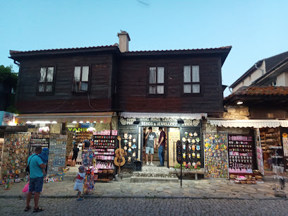
Mira's handmade ceramic beads and jewelry
0.2 km
Discover the exquisite artistry of handmade ceramic beads and jewelry at Mira's in Nessebar, a must-visit gift shop for unique souvenirs.
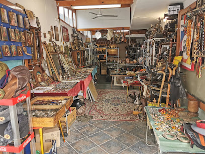
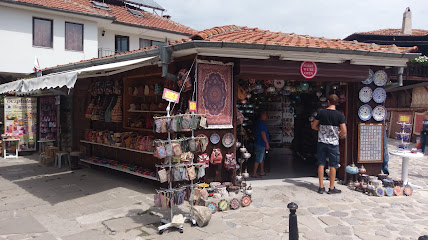
Antique Store
0.2 km
Explore a charming antique store in Nessebar's Staria Grad, filled with unique artifacts and treasures that capture the essence of history.
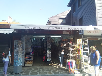
Souvenirs
0.2 km
Discover unique handmade crafts and mementos at Souvenirs in Nessebar, capturing the essence of Bulgarian heritage and culture.
Trading handbags, belts and wallets Pipozzo Nessebar
0.3 km
Explore Pipozzo Nessebar for exquisite leather handbags, belts, and wallets in the historic heart of Nessebar, Bulgaria.
J-Craft Ltd Jewelry Store
0.4 km
Explore J-Craft Ltd Jewelry Store in Nessebar for exquisite handcrafted jewelry and unique gifts that embody Bulgarian craftsmanship.
SEA OF SILVER AND GOLD
0.4 km
Explore the Sea of Silver and Gold for exquisite fashion accessories and a taste of Bulgaria's vibrant local culture in Nessebar.
The Supreme Records Shop Nessebar
0.4 km
Explore the rich musical heritage of Nessebar at The Supreme Records Shop, where vintage vinyl and local tunes await every music lover.
ART CERAMIC SHOP
0.4 km
Explore the Art Ceramic Shop in Nessebar for unique handcrafted pottery and authentic Bulgarian gifts, steeped in rich cultural heritage.
Wine and sweet shop Nessebar
0.4 km
Explore the exquisite selection of local wines and delectable sweets at the Wine and Sweet Shop in Nessebar, a true delight for tourists.
Magendavid Handmade Dobromir St 3 Old Nessebar 8231
0.4 km
Explore Magendavid Handmade in Old Nessebar for unique, handcrafted jewelry that embodies Bulgarian artistry and heritage.
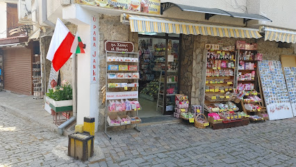
Pan Janek - Bułgarskie Przyprawy Nesebar Shop
0.4 km
Explore Pan Janek in Nessebar for authentic Bulgarian spices and unique gifts that capture the essence of Bulgaria's culinary heritage.
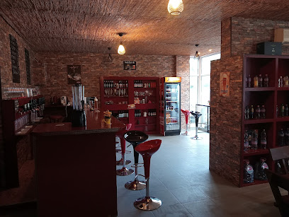
Essential bars & hidden hideouts
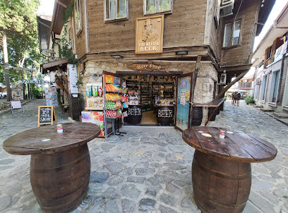
You Need A Beer - Beer Shop
0.4 km
Discover the best local and international craft beers in a charming setting at You Need A Beer, the perfect spot for beer lovers in Nessebar.
Wine shop & bar REGION
0.4 km
Discover a Wine Lover's Paradise at Wine Shop & Bar REGION in Nessebar, where exceptional wines meet charming ambiance.
Sea view restaurant and bar EOS
0.5 km
Experience the perfect blend of stunning sea views and delightful cuisine at EOS, your go-to bar and restaurant in Nessebar.
ECO-Bar By Michael
0.6 km
Discover the vibrant atmosphere and delightful drinks at ECO-Bar By Michael in Nessebar, the perfect spot for relaxation and socializing.
BAR ONLY CRAFT
0.7 km
Discover Bar Only Craft in Nessebar, where exceptional craft beers and wines meet a warm, inviting atmosphere at affordable prices.
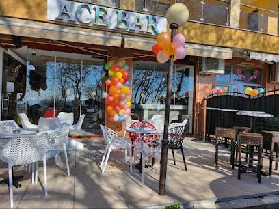
Ace Bar
0.8 km
Experience the vibrant atmosphere of Ace Bar in Nessebar, where local culture meets refreshing drinks and stunning sea views.
ВПД Несебър Бар Хавай
0.9 km
Discover the lively ambiance and refreshing drinks at ВПД Несебър Бар Хавай, a must-visit bar in the heart of Nessebar.
Extreme Surf Bar & School
0.9 km
Experience the thrill of surfing and the taste of local cuisine at Extreme Surf Bar & School in Nessebar.
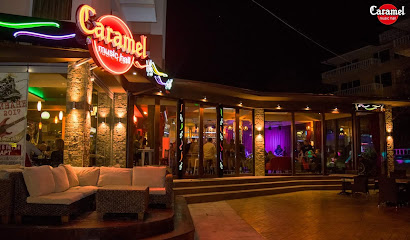
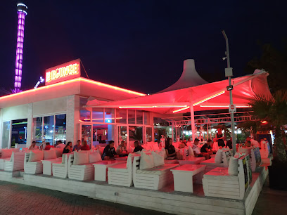
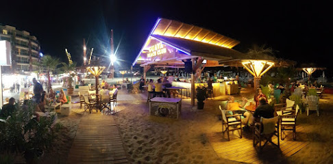
Caramel - Music Hall
1.1 km
Discover the vibrant nightlife at Caramel - Music Hall, Nessebar's premier bar for live music and energetic vibes on the coast.
Boulevard
1.2 km
Experience the best of Nessebar at Boulevard, where fresh seafood, delicious pizzas, and live music create an unforgettable dining experience.
The White Bar
1.6 km
Experience the vibrant atmosphere of The White Bar in Nessebar, where stunning sea views meet delicious drinks and lively entertainment.
EXTREME Surf School Nesebar
1.7 km
Experience the thrill of surfing and the relaxation of beachfront lounging at EXTREME Surf School in Nessebar, Bulgaria.
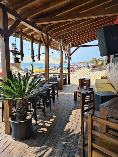
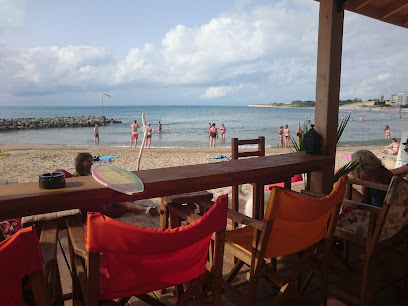
Beach bar Forth
1.9 km
Experience coastal bliss at Beach Bar Forth, where vibrant cocktails and stunning sea views await in a laid-back atmosphere.
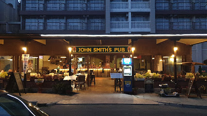
John Smith's Pub
2.0 km
Experience the vibrant atmosphere and diverse menu at John Smith's Pub in Slanchev Bryag, the perfect spot for relaxation and fun.
Kiko Beach bar
2.1 km
Discover the vibrant Kiko Beach Bar in Nesebar, where delicious food meets stunning views of the Black Sea for an unforgettable beach experience.
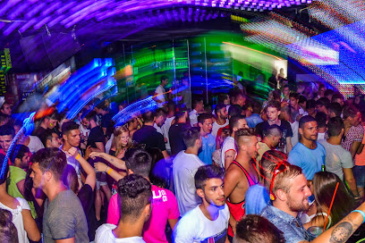
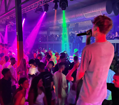
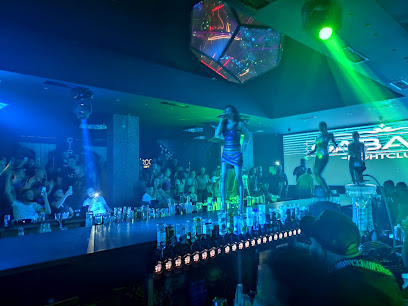
Nightclubs & after hour spots
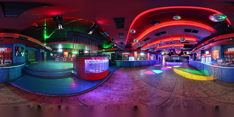
Club THE 1
2.3 km
Discover the vibrant nightlife at Club THE 1 on Cacao Beach, where unforgettable parties and electrifying music await party lovers.
Grand Hall
3.9 km
Discover the pulsating nightlife at Grand Hall, Sunny Beach's premier night club for an unforgettable night of dancing and entertainment.
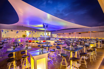
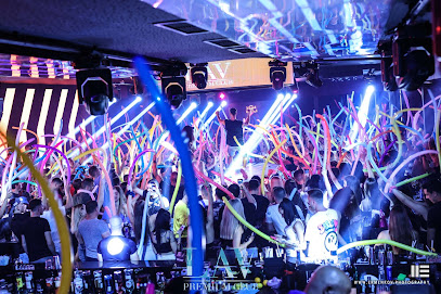
LAV Premium Club
4.1 km
Experience the electric nightlife of Sunny Beach at LAV Premium Club, where unforgettable parties and vibrant music await you.
Valhalla nightclub
4.1 km
Experience the vibrant nightlife at Valhalla Nightclub in Sunny Beach – where music, dancing, and unforgettable memories await you!
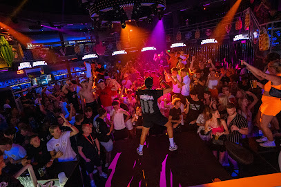
THE BOUNCE CLUB
4.1 km
Discover the ultimate nightlife experience at The Bounce Club in Sunny Beach, where dancing, music, and vibrant energy come together.
Dance Club Viking (DCV)
4.2 km
Dance Club Viking in Sunny Beach offers a thrilling nightlife experience with great music, energetic dance floors, and a vibrant crowd.
DGV - Sunny Beach
4.2 km
Experience the electrifying nightlife at DGV - Sunny Beach, Bulgaria's ultimate disco club for unforgettable nights filled with music, dance, and fun.
Gabana Nightclub, Sunny Beach
4.3 km
Discover the electric nightlife at Gabana Nightclub in Sunny Beach, where music, dance, and vibrant energy unite for unforgettable nights.
Party Crew
4.3 km
Dive into the electrifying nightlife of Sunny Beach at Party Crew, your one-stop destination for the best events and unforgettable experiences.
Bar Elite G
4.3 km
Discover the electrifying atmosphere and unforgettable nightlife at Bar Elite G in Sunny Beach, where the party never stops and memories are made.
Cleopatra club
4.4 km
Discover the nightlife at Cleopatra Club in Nessebar, where vibrant music, dancing, and an energetic crowd create unforgettable memories.
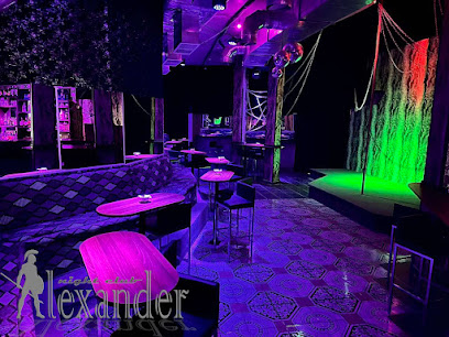
Alexander Club
4.5 km
Discover the electric energy of Alexander Club, the ultimate gay bar and disco club in Sunny Beach, where every night is a celebration of love and freedom.
Guava Beach Club
4.7 km
Experience the vibrant atmosphere of Guava Beach Club, where sun, fun, and great drinks come together in Sunny Beach, Bulgaria.
Disco Orange
5.1 km
Discover the electrifying nightlife at Disco Orange, the premier disco club in Sunny Beach, Bulgaria, where unforgettable dance experiences await.
Bar Chaika
12.6 km
Experience the vibrant atmosphere and stunning views at Bar Chaika, Pomorie's beloved coastal bar, perfect for relaxation and enjoyment.