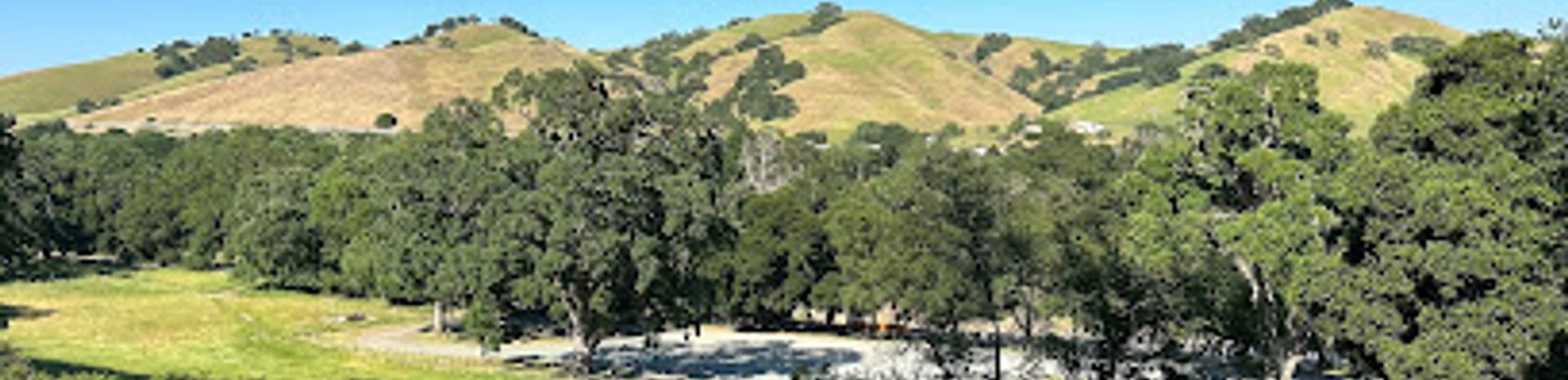
Pleasanton Ridge Regional Park: A Hillside Escape
Discover scenic trails, panoramic views, and natural beauty in this expansive East Bay park perfect for hiking, biking, and riding.
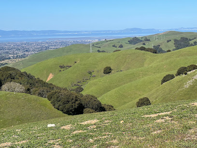
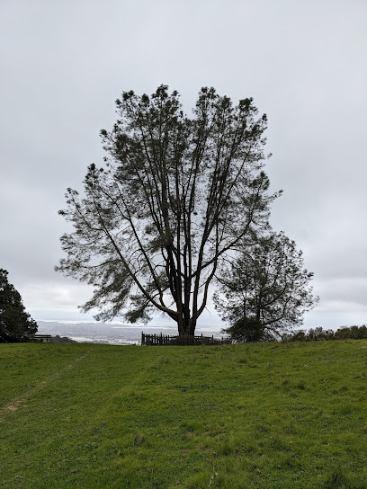
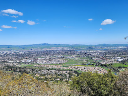
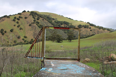
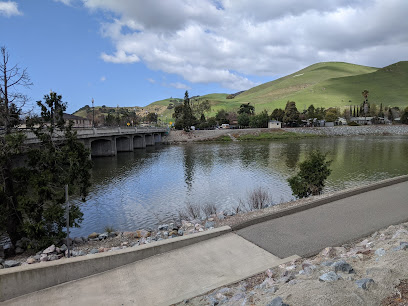
Pleasanton Ridge Regional Park offers a scenic escape with over 5,271 acres of oak-covered hills, deep canyons, and panoramic views of Pleasanton and the Livermore Valley. Popular for hiking, biking, and horseback riding, the park provides a natural retreat with trails for all skill levels.
A brief summary to Pleasanton Ridge Regional Park
- Foothill Rd, Pleasanton, California, 94588, US
- +1510-544-3030
- Visit website
- Monday 8 am-8 pm
- Tuesday 8 am-8 pm
- Wednesday 8 am-8 pm
- Thursday 8 am-8 pm
- Friday 8 am-8 pm
- Saturday 8 am-8 pm
- Sunday 8 am-8 pm
Local tips
- Bring plenty of water, especially during summer, as temperatures can get high and many trails offer little shade.
- Check the park's website for seasonal gate closure times, as they vary throughout the year.
- Be aware of wildlife; keep dogs on a leash and maintain a safe distance from animals.
- Wear appropriate footwear for hiking on dirt trails, which can be uneven or steep in places.
- Poison oak is common, so stay on marked trails and wear long pants and sleeves to avoid contact.
Getting There
-
Driving
From I-680 in Pleasanton, exit at Castlewood Drive and head west. Turn left (south) onto Foothill Road. The Foothill Staging Area, the park's main entrance, is approximately two miles from Castlewood Drive on the right. Parking is free. Alternatively, to reach the Tyler Ranch Staging Area, exit I-680 at Sunol and head west. Turn right onto Koopmann Road, then immediately turn left onto Pleasanton Sunol Road. Turn right onto Niles Canyon Road, then make a right onto Main Street, followed by a right onto Kilkare Road. Turn left onto Foothill Road; the Tyler Ranch Staging Area is at the end of Foothill Road on the right. There are no tolls on either route.
-
Public Transport
While there are public transportation options to reach the general vicinity of Pleasanton Ridge Regional Park, there isn't a direct public transit route to the park's entrances. The closest public transportation access point is in the town of Pleasanton. From there, you would need to use a ride-sharing service or taxi to reach the park's Foothill Road entrance, which would cost approximately $15-$25.
Discover more about Pleasanton Ridge Regional Park
Iconic landmarks you can’t miss
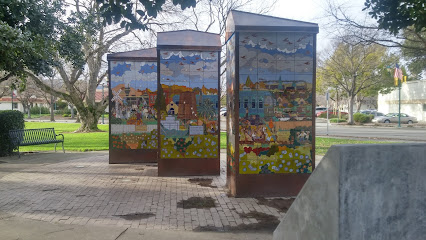
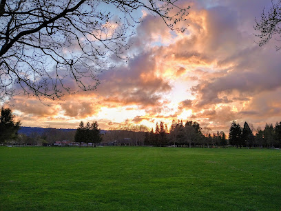
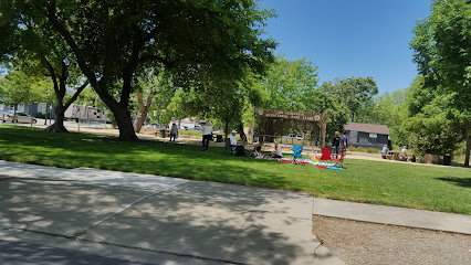
Civic Park
4.5 km
Explore Civic Park in Pleasanton: a serene park with beautiful landscapes, art installations, and family-friendly activities for a perfect day outdoors.
Clockwise Escape Room Pleasanton
4.6 km
Dive into a world of mystery and fun at Clockwise Escape Room Pleasanton, where every puzzle brings you closer to adventure and excitement.
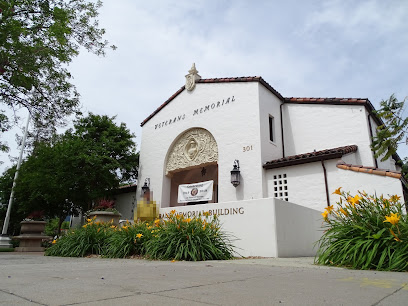
Veterans Memorial Building
4.7 km
Explore the Veterans Memorial Building in Pleasanton, a tribute to military service and community unity, rich in history and honoring our heroes.
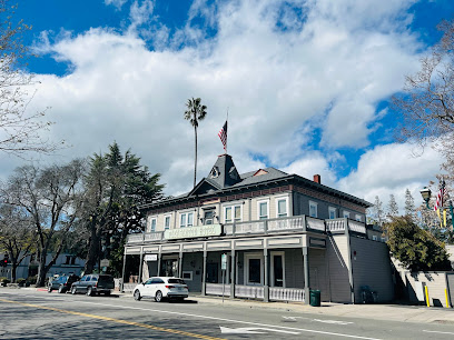
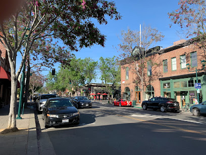
Downtown Pleasanton
4.8 km
Discover the historic charm and vibrant community spirit of Downtown Pleasanton, California, with unique shops, delicious dining, and lively events.
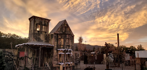
Pirates of Emerson Haunted Themed Park
4.8 km
Explore the spine-chilling thrills at Pirates of Emerson Haunted Themed Park in Pleasanton, California - a unique haunted house experience for all ages.
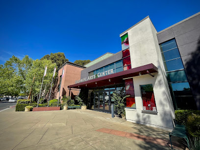
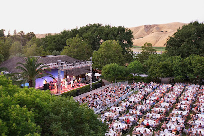
Firehouse Arts Center
5.0 km
Experience the arts at the Firehouse Arts Center, a vibrant venue in Pleasanton, California, showcasing performances, art exhibitions, and community events.
AVHS Botany
5.6 km
Discover the breathtaking beauty of AVHS Botany, a serene botanical garden in Pleasanton, California, perfect for nature lovers and tranquil escapes.

Vargas Plateau Regional Park
6.0 km
Discover panoramic views and serene trails at Vargas Plateau Regional Park in Fremont, a hidden gem for hiking, birdwatching, and enjoying the East Bay's natural beauty.
Amador Valley Community Park
6.3 km
Experience the tranquility of Amador Valley Community Park, a scenic retreat in Pleasanton, CA, perfect for family fun and outdoor activities.
Visit Tri-Valley
8.7 km
Explore the Tri-Valley region of California with Visit Tri-Valley, your essential guide to attractions, dining, and local experiences.
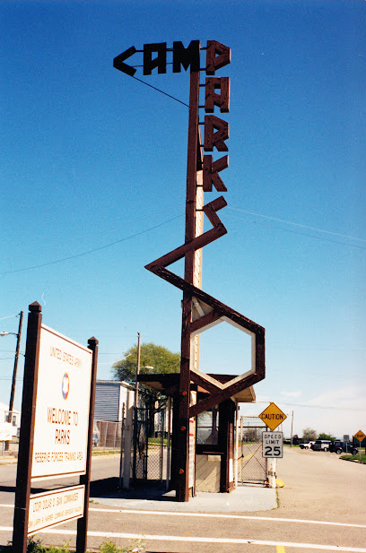
Historic Camp Parks Main Gate
10.6 km
Step back in time at the Historic Camp Parks Main Gate in Dublin, CA, a landmark that honors the legacy of the Navy Seabees and the base's pivotal role in WWII and beyond.
Ukraina, California Historical Landmark #1025
10.9 km
Explore Ukraina, California Historical Landmark #1025 in Hayward for a unique glimpse into California's rich cultural heritage and significant history.
Historic Livermore Sanitarium
12.4 km
Discover the Historic Livermore Sanitarium, a fascinating landmark showcasing the evolution of healthcare in California's rich history.
Good Morning Maxwell
12.4 km
Discover Good Morning Maxwell, a premier event venue in Livermore, CA, known for its elegant ambiance and exceptional service for all your celebration needs.

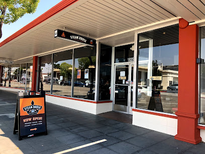
Steamhouse Coffee & Kava Bar
12.5 km
Discover the unique blend of coffee and kava at Steamhouse Coffee & Kava Bar, a charming spot in Livermore perfect for relaxation and community vibes.
Unmissable attractions to see
Augustin Bernal Park
2.9 km
Explore hiking and biking trails with scenic views at this 237-acre park in Pleasanton, connecting to the regional park system.
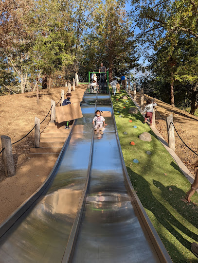
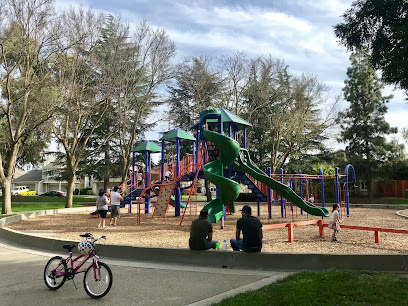
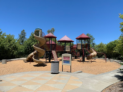
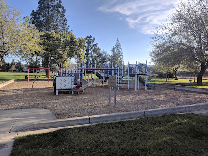
Mission Hills Park
3.9 km
A vibrant community park in Pleasanton offering fun for all ages with playgrounds, slides, sports, and scenic walking paths.
Lions Wayside Park
4.9 km
Experience community and relaxation at Lions Wayside Park in Pleasanton, a perfect spot for concerts, picnics, and family fun.
Museum on Main
5.1 km
Explore the rich heritage of Pleasanton at the Museum on Main, where local history comes alive through engaging exhibits and community stories.
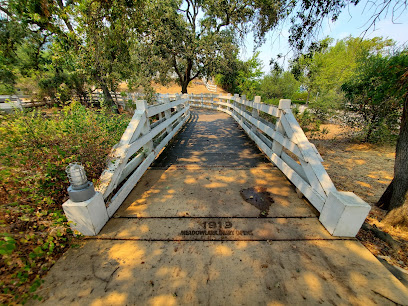
Alviso Adobe Community Park
5.2 km
Explore California's past at this Pleasanton park, featuring a historic adobe, dairy exhibit, and Ohlone culture displays.
Secret Sidewalk
6.2 km
Explore the Secret Sidewalk in Fremont, California – a perfect blend of history and nature tucked away in a charming landscape.
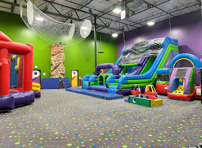
Pump It Up Pleasanton Kids Birthdays and More
6.3 km
Pleasanton's premier indoor inflatable playground for kids' birthday parties, open jump sessions, and family fun!
Orloff Park
6.9 km
A vibrant Pleasanton park with playgrounds, sports facilities, and picnic spots for family fun and outdoor activities.
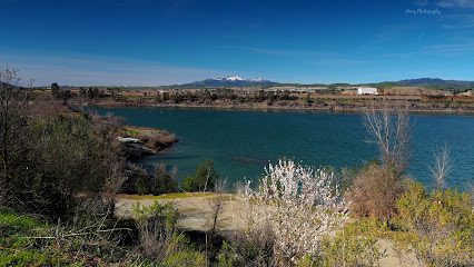
Shadow Cliffs Regional Recreation Area
7.1 km
Explore the natural beauty and recreational activities at Shadow Cliffs Regional Recreation Area, a tranquil getaway in Pleasanton, California.
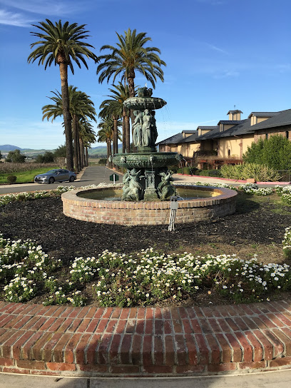
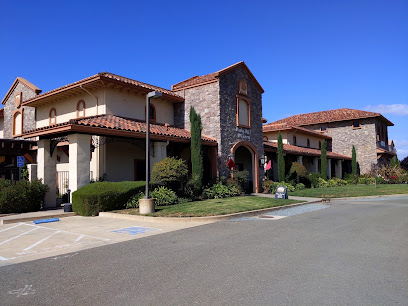
Rubino Estates Winery
7.3 km
Experience award-winning 'Cal-Ital' wines, stunning vineyard views, and warm hospitality at this family-owned Livermore Valley winery.
Pleasanton Century House
7.3 km
Discover Pleasanton's past at the Century House, a beautifully restored 1870s landmark with lush gardens.
Val Vista Park
7.9 km
A vibrant community park in Pleasanton with playgrounds, picnic spots, trails, and a garden, perfect for family fun and outdoor activities.
Ruby Hill Winery
8.2 km
Experience the charm of Livermore Valley at Ruby Hill Winery, offering award-winning wines and stunning vineyard views since 1887.
Vallejo Mill Historical Park
8.3 km
Explore Vallejo Mill Historical Park, a serene blend of history and nature in Fremont, California, perfect for a peaceful day of exploration and relaxation.
Ida Holm Neighborhood Park
9.2 km
Experience the natural beauty and serene environment of Ida Holm Neighborhood Park, a perfect retreat for relaxation and outdoor fun in Livermore, CA.
Essential places to dine
Callippe Vista Restaurant
2.7 km
Experience delightful American cuisine surrounded by breathtaking golf course views at Callippe Vista Restaurant in Pleasanton.
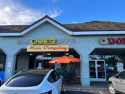
Dumpling meets Cajun Seafood
4.0 km
Experience a unique blend of Chinese dumplings and Cajun seafood at Dumpling Meets Cajun Seafood in Pleasanton.
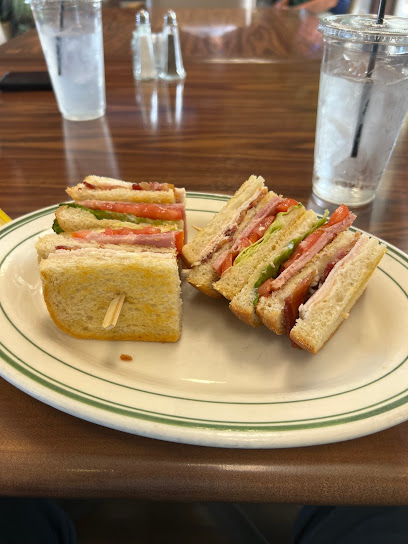
Jim's Country Style Restaurant
4.0 km
Experience the best brunch at Jim's Country Style Restaurant in Pleasanton - where comfort food meets homely ambiance.
Vics All Star Kitchen
4.5 km
Discover Vic's All Star Kitchen: A cozy diner serving hearty breakfasts and classic American fare in Pleasanton, CA.
Sultan's Kebab
4.6 km
Experience authentic Mediterranean cuisine at Sultan's Kebab in Pleasanton - where every dish tells a story of tradition and flavor.
Gay Nineties Pizza Co
4.7 km
Discover authentic Italian flavors at Gay Nineties Pizza Co in Pleasanton, where every slice tells a story of tradition and quality.
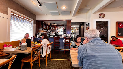
Pairings Bar Restaurant
4.7 km
Discover culinary delights at Pairings Bar Restaurant in Pleasanton - where modern cuisine meets a vibrant bar atmosphere.
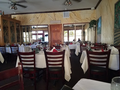
Elia
4.7 km
Experience authentic Greek flavors at Elia in Pleasanton – where every meal is a celebration of Mediterranean cuisine.
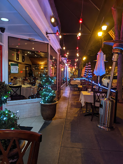
Locanda Amalfi
4.8 km
Discover Locanda Amalfi in Pleasanton - where authentic Italian cuisine meets exquisite cocktails and fine wines.
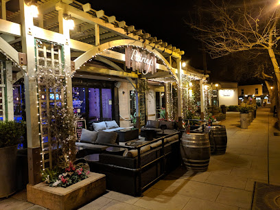
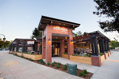
SideTrack Bar + Grill
4.8 km
Discover the vibrant flavors at SideTrack Bar + Grill - where casual dining meets exciting culinary experiences in Pleasanton.
Wild One Grill
4.8 km
Experience vibrant Nuevo Latino cuisine at Wild One Grill in Pleasanton—where every meal is a celebration of flavor.
Pastas Trattoria
4.8 km
Discover authentic Italian cuisine at Pastas Trattoria in Pleasanton - where every dish tells a story of tradition and flavor.
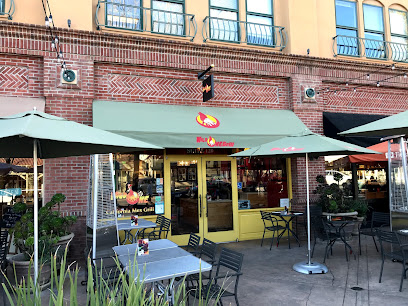
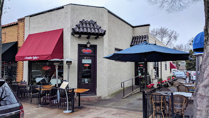
Frontier Spice
4.8 km
Discover authentic North Indian flavors at Frontier Spice – where tradition meets modern culinary artistry in Pleasanton.
Nonni's Bistro
4.8 km
Discover the flavors of Europe at Nonni's Bistro in Pleasanton – where every meal is a delightful experience.
Chianti's Ristorante
4.8 km
Discover authentic Italian cuisine blended with fresh seafood at Chianti's Ristorante in Pleasanton – where every meal is a celebration.
Markets, malls and hidden boutiques
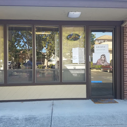
Shieno Sarees
3.9 km
Discover the vibrant world of traditional Indian sarees at Shieno Sarees, a boutique in Pleasanton offering exquisite women's clothing and unmatched craftsmanship.
Pleasanton Gateway Shopping Center
4.4 km
Explore Pleasanton Gateway Shopping Center, a premier shopping destination in California with diverse stores, delicious dining, and family-friendly entertainment.
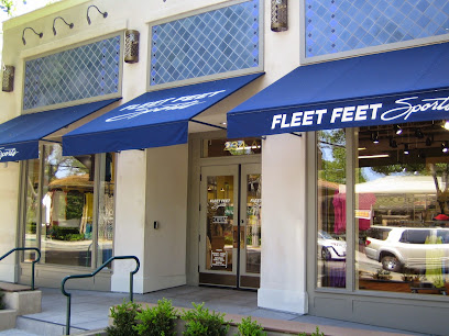
Fleet Feet Pleasanton
4.6 km
Discover Fleet Feet Pleasanton, your one-stop shop for premium running shoes, apparel, and a thriving community of fitness enthusiasts.
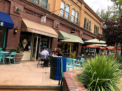
Almare Gelato Italiano
4.8 km
Experience authentic Italian gelato at Almare Gelato Italiano, a must-visit ice cream haven in Pleasanton, California.
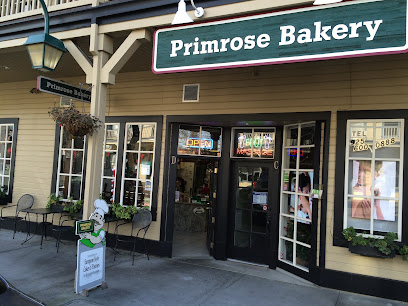
Primrose Bakery
4.8 km
Discover the sweet charm of Primrose Bakery in Pleasanton, CA, offering exquisite cakes, pastries, and wedding confections in a cozy atmosphere.
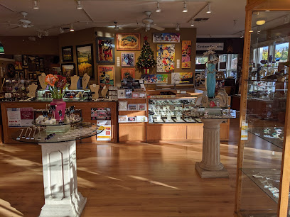
Studio Seven Arts Gallery and Custom Framing
4.8 km
Explore a creative haven at Studio Seven Arts Gallery in Pleasanton, featuring local art, unique gifts, and custom framing to inspire every visitor.
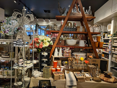
Gourmet Works of Pleasanton
4.8 km
Discover a chocolate lover's paradise at Gourmet Works of Pleasanton, where artisanal treats and unique gifts await every visitor.
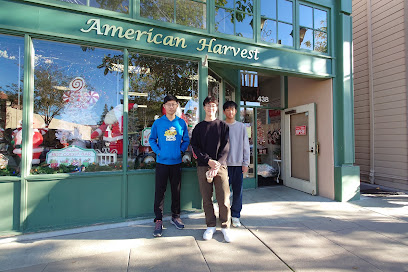
American Harvest
4.9 km
Explore American Harvest in Pleasanton, CA, where unique local gifts and handcrafted treasures await every traveler.
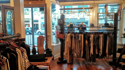
Primm Boutique
4.9 km
Explore Primm Boutique in Pleasanton, CA - your go-to destination for unique women's fashion and personalized shopping experiences.
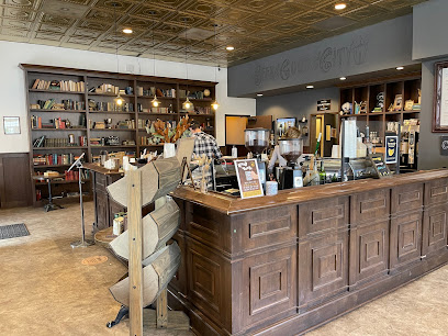
Inklings Coffee and Tea
5.0 km
Discover the charm of Inklings Coffee and Tea in Pleasanton – where quality brews meet a welcoming atmosphere for every coffee and tea lover.
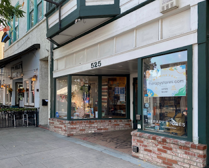
Therapy Stores
5.0 km
Explore Therapy Stores in Pleasanton for unique gifts, stylish clothing, and charming home goods that reflect the essence of California's vibrant culture.
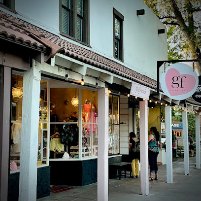
Girlfriends Boutique
5.0 km
Explore the chic and trendy collections at Girlfriends Boutique, the ultimate women's clothing store in Pleasanton, California.
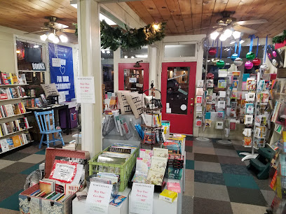
Towne Center Books
5.0 km
Explore the charm of Towne Center Books in Pleasanton, a beloved bookstore offering a diverse selection of titles and community events.
Good Common Sense Naturals
5.1 km
Discover unique natural beauty products and artisanal goods at Good Common Sense Naturals in Pleasanton, CA.
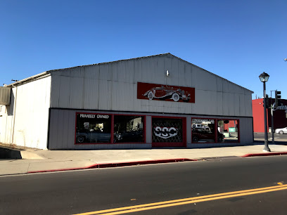
Specialty Sales Classics
5.1 km
Explore Specialty Sales Classics in Pleasanton, CA – the ultimate destination for vintage and classic car enthusiasts with a passion for automotive history.
Essential bars & hidden hideouts
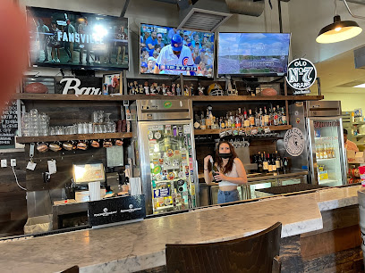
Neighborhood Sports Bar and Kitchen
4.6 km
Discover the lively Neighborhood Sports Bar and Kitchen, where great food, drinks, and sports create unforgettable moments in Pleasanton.
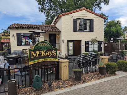
McKay's Taphouse & Beer Garden
4.6 km
Discover the vibrant atmosphere of McKay's Taphouse & Beer Garden in Pleasanton, where craft beer meets delicious food and live music.
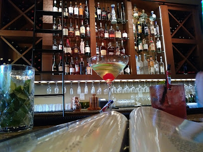
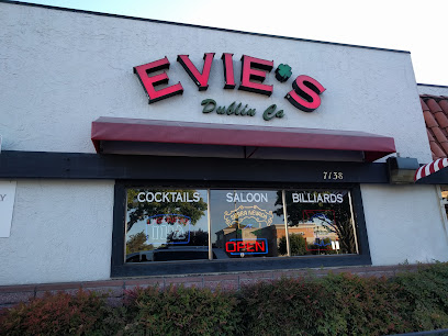
Middle 8
4.8 km
Experience the lively atmosphere and unique cocktails at Middle 8, a top bar in Pleasanton perfect for unwinding and socializing.
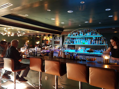
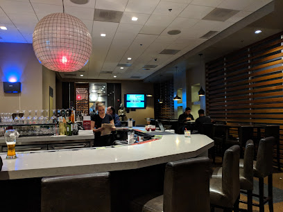
Cellar Door
4.9 km
Experience the vibrant nightlife at Cellar Door, Pleasanton's premier cocktail bar with live music and a cozy lounge atmosphere.
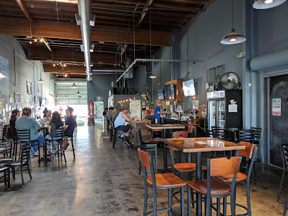
Main Street Brewery
5.4 km
Experience the best of Pleasanton with craft beers, delicious food, and live music at Main Street Brewery, the perfect gathering place for tourists.
BottleTaps
6.4 km
Explore the vibrant craft beer scene at BottleTaps, Pleasanton’s premier restaurant and beer hall offering delicious food and an extensive selection of brews.
Sunshine Saloon Sports Bar and Charcoal Grill
6.8 km
Discover the lively atmosphere of Sunshine Saloon Sports Bar and Charcoal Grill, where delicious food meets sports excitement in Pleasanton, California.
The Draft Sports Pub
8.3 km
Experience the ultimate sports atmosphere at The Draft Sports Pub in Pleasanton, where great food and live sports come together for an unforgettable outing.
Mavericks
8.4 km
Discover the vibrant nightlife at Mavericks in Pleasanton, a lively bar offering craft drinks and a welcoming atmosphere for all.
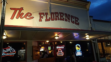
Florence Bar
9.2 km
Discover the charm of Florence Bar in Fremont, where good drinks and great company come together for an unforgettable night out.
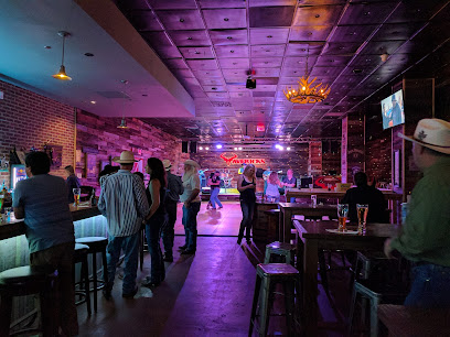
Y'All Come Back Saloon
9.2 km
Discover the vibrant atmosphere of Y'All Come Back Saloon in Pleasanton, where delightful cocktails and friendly service await you.
Beeb's Sports Bar & Grill
10.5 km
Experience the perfect blend of sports, food, and drinks at Beeb's Sports Bar & Grill in Livermore, California.
Three Sheets Craft Beer Bar
10.6 km
Experience the best of craft beer at Three Sheets Craft Beer Bar with a vibrant atmosphere and an extensive selection of brews.
The Back Lounge
10.7 km
Experience the vibrant atmosphere and expertly crafted cocktails at The Back Lounge, Dublin's favorite cocktail bar for locals and visitors alike.
Bar Tatami
11.1 km
Experience the vibrant atmosphere and delicious offerings at Bar Tatami, Livermore's premier destination for food and drinks in California.
Nightclubs & after hour spots
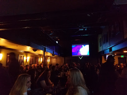
Tommy T's Comedy Club
9.0 km
Discover the perfect blend of laughter and fine dining at Tommy T's Comedy Club in Pleasanton, CA - where comedy and cuisine unite for an unforgettable night out.
K1 Paddock Lounge - Sports Bar & Restaurant - Dublin, CA
10.1 km
Experience the thrill of sports and gourmet dining at K1 Paddock Lounge, Dublin's top sports bar and grill.

The Mojo Lounge
12.0 km
Discover Fremont's nightlife at The Mojo Lounge, a lively spot for cocktails, live music, and sports entertainment in a vibrant atmosphere.
R PLACE MUSIC CLUB
13.2 km
Discover the lively nightlife at R Place Music Club in Livermore featuring live music, delicious drinks, and a welcoming atmosphere for all.
Ultra Music Studio
16.3 km
Discover the ultimate karaoke experience at Ultra Music Studio in Fremont, where every night is filled with music, laughter, and unforgettable moments.
Clubsport San Ramon
17.9 km
Experience top-notch fitness and wellness at Clubsport San Ramon; a premier destination for health enthusiasts and relaxation seekers alike.
Crown Billiards
19.0 km
Discover Crown Billiards in San Ramon, CA - the ultimate pool hall for friendly competition and social fun in a lively atmosphere.
Farallon Club
19.0 km
Discover the lively nightlife at Farallon Club, where vibrant music, exquisite cocktails, and unforgettable moments await in Hayward, California.
Gaucho Brazilian Steakhouse n Nightclub
19.1 km
Experience authentic Brazilian flavors and vibrant nightlife at Gaucho Brazilian Steakhouse & Nightclub in San Ramon, CA.
Doucet Saloon
19.2 km
Discover Doucet Saloon, Castro Valley's favorite dive bar, offering a friendly atmosphere, great drinks, and unforgettable nights out.
Valley Inn
19.4 km
Experience the vibrant nightlife at Valley Inn, a lively bar in Castro Valley, offering cocktails, events, and a welcoming atmosphere for all.
The Doolittle
19.4 km
Discover vibrant nightlife at The Doolittle, Castro Valley's go-to bar for craft drinks and live entertainment.
Dark Horse Lounge
19.8 km
Discover the lively atmosphere at Dark Horse Lounge, Hayward's favorite sports bar with great food, drinks, and entertainment!
Why Not Lounge
20.1 km
Discover the vibrant nightlife at Why Not Lounge in Hayward, California, with delicious food, drinks, and an unforgettable Afro beats experience.
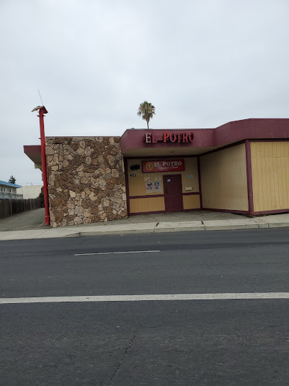
El Potro Club
20.7 km
Discover the vibrant nightlife of Hayward at El Potro Club, an adult entertainment venue offering electrifying performances and a lively atmosphere.