Vargas Plateau Regional Park: Fremont's Hidden Gem
Discover panoramic views and serene trails at Vargas Plateau Regional Park in Fremont, a hidden gem for hiking, birdwatching, and enjoying the East Bay's natural beauty.
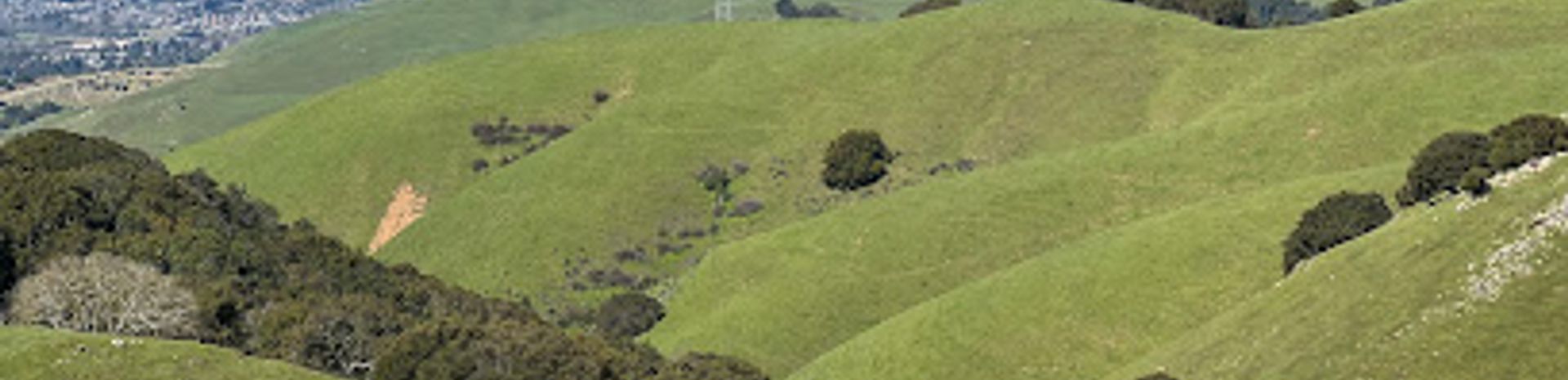
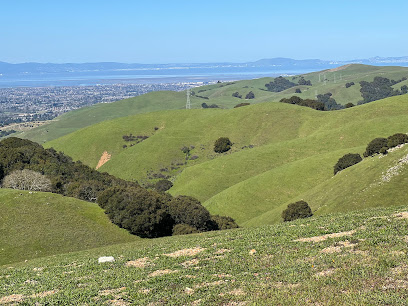
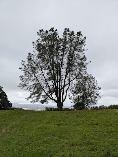
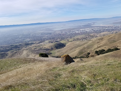
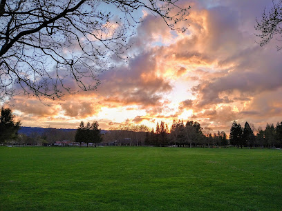
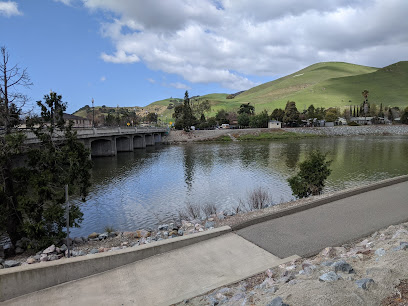
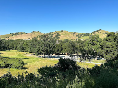
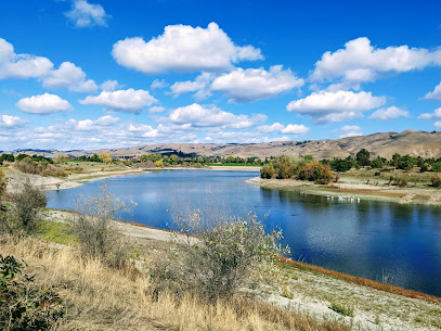
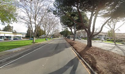
Vargas Plateau Regional Park, nestled in the Fremont Hills, offers a serene escape with panoramic views of the San Francisco Bay Area. This 1,249-acre park boasts over six miles of trails for hiking, biking, and equestrian activities, traversing grasslands, seasonal wetlands, and oak woodlands. Once part of the homeland of the Ohlone-speaking Tuibun and Causen tribes, the land later transitioned through Spanish, Mexican, and American ownership, finally becoming a regional park in the 1990s. The park's relatively isolated location has preserved its diverse wildlife habitats, making it a haven for golden eagles, hawks, deer, and other native species. Visitors can enjoy birdwatching, picnicking, and exploring the Bay Area Ridge Trail, which runs along the ridgetop. Limited parking and lack of water facilities require careful planning, but the stunning vistas and tranquil atmosphere make it a worthwhile destination for nature lovers seeking an uncrowded experience.
A brief summary to Vargas Plateau Regional Park
- 2536 Morrison Canyon Rd, Fremont, Canyon Heights - Vallejo Mills, California, 94539, US
- +1510-544-3246
- Visit website
Local tips
- Bring plenty of water, as there are no water sources within the park.
- Carpool or arrive early, as parking is limited to 25 spaces and fills up quickly, especially on weekends.
- Wear appropriate footwear and clothing, as the trails can be steep, rocky, and exposed to the sun.
- Be aware of wildlife, including cattle, snakes, and raptors, and keep a safe distance.
- Check the East Bay Regional Park District website for any trail closures or advisories before your visit.
Getting There
-
Driving
From I-680 in Fremont, take the Vargas Road exit and head north. Continue for approximately 1.6 miles to Morrison Canyon Road and turn right. The Vargas Plateau Staging Area, with limited parking, will be on your left in about 0.4 miles. Be aware that Morrison Canyon Road is narrow and winding, so drive carefully. Carpooling is highly recommended due to limited parking. There is no parking allowed on the street.
-
Public Transport
While public transportation options directly to Vargas Plateau Regional Park are limited, you can take BART or bus services to the general vicinity of Fremont. From the nearest BART station (e.g., Warm Springs/South Fremont), you would then need to use a ride-sharing service or taxi to reach the park entrance at 2536 Morrison Canyon Road. A ride-share from Warm Springs BART to the park would cost approximately $20-$30, depending on demand.
Discover more about Vargas Plateau Regional Park
Iconic landmarks you can’t miss
Vargas Plateau Regional Park
0.0 km
Discover panoramic views and serene trails at Vargas Plateau Regional Park in Fremont, a hidden gem for hiking, birdwatching, and enjoying the East Bay's natural beauty.
Ukraina, California Historical Landmark #1025
10.0 km
Explore Ukraina, California Historical Landmark #1025 in Hayward for a unique glimpse into California's rich cultural heritage and significant history.
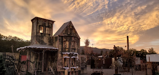
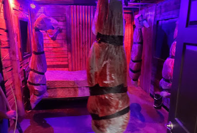
Pirates of Emerson Haunted Themed Park
10.0 km
Explore the spine-chilling thrills at Pirates of Emerson Haunted Themed Park in Pleasanton, California - a unique haunted house experience for all ages.
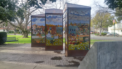
Civic Park
10.2 km
Explore Civic Park in Pleasanton: a serene park with beautiful landscapes, art installations, and family-friendly activities for a perfect day outdoors.
Clockwise Escape Room Pleasanton
10.4 km
Dive into a world of mystery and fun at Clockwise Escape Room Pleasanton, where every puzzle brings you closer to adventure and excitement.
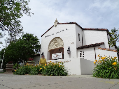
Veterans Memorial Building
10.5 km
Explore the Veterans Memorial Building in Pleasanton, a tribute to military service and community unity, rich in history and honoring our heroes.
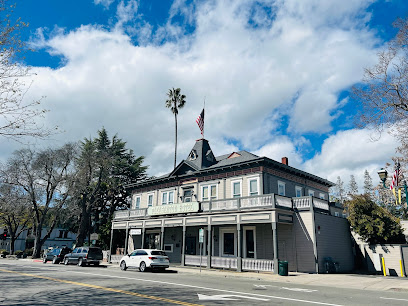
Downtown Pleasanton
10.6 km
Discover the historic charm and vibrant community spirit of Downtown Pleasanton, California, with unique shops, delicious dining, and lively events.
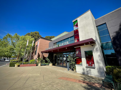
Firehouse Arts Center
10.8 km
Experience the arts at the Firehouse Arts Center, a vibrant venue in Pleasanton, California, showcasing performances, art exhibitions, and community events.
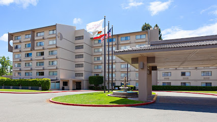
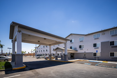
Crowne Plaza Silicon Valley N - Union City, an IHG Hotel
11.3 km
Experience comfort and convenience at Crowne Plaza Silicon Valley N - Union City, your gateway to the best of the Bay Area.
AVHS Botany
11.4 km
Discover the breathtaking beauty of AVHS Botany, a serene botanical garden in Pleasanton, California, perfect for nature lovers and tranquil escapes.

Monument Peak
11.7 km
Explore the breathtaking beauty of Monument Peak, a scenic mountain destination in California's Bay Area, perfect for hiking and outdoor adventures.
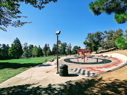
Amador Valley Community Park
12.0 km
Experience the tranquility of Amador Valley Community Park, a scenic retreat in Pleasanton, CA, perfect for family fun and outdoor activities.
SureStay Plus Hotel by Best Western Hayward
12.0 km
Discover comfort and convenience at SureStay Plus Hotel by Best Western Hayward, your ideal base for exploring the Bay Area attractions.
Union Landing
12.2 km
Union Landing: The largest open-air shopping center in Union City, offering diverse retail, dining, and entertainment for the whole family.
Limitless Escape Games
12.4 km
Experience the thrill of adventure and teamwork at Limitless Escape Games, where every puzzle brings you closer to victory.
Unmissable attractions to see
Vallejo Mill Historical Park
3.4 km
Explore Vallejo Mill Historical Park, a serene blend of history and nature in Fremont, California, perfect for a peaceful day of exploration and relaxation.
Central Park
4.2 km
Explore Central Park in Fremont, California - a lush urban oasis perfect for relaxation, recreation, and family outings amidst nature's beauty.
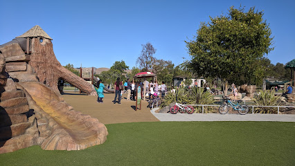
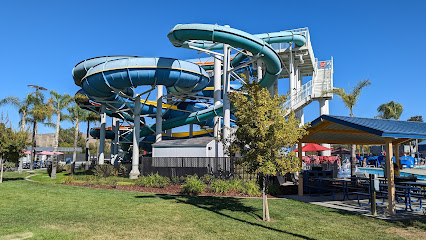
Aqua Adventure Water Park
4.4 km
Experience the thrill and excitement of Aqua Adventure Water Park, a top destination for water fun in Fremont, California, perfect for families and adventure lovers.
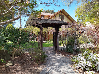
Shinn Historical Park and Arboretum
4.4 km
Experience the serene beauty of Shinn Historical Park and Arboretum, a historic retreat in Fremont, California, perfect for nature lovers and history enthusiasts alike.
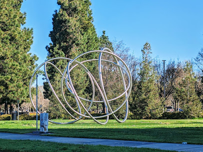
Unity Sculpture
4.5 km
Discover the Unity Sculpture in Fremont: a symbol of community, art, and synergy in a serene and accessible setting.
California Nursery Historical Park
5.2 km
Discover the serene beauty and historical significance of California Nursery Historical Park, a botanical gem in Fremont, California.
Pleasanton Ridge Regional Park
6.0 km
Discover scenic trails, panoramic views, and natural beauty in this expansive East Bay park perfect for hiking, biking, and riding.
Seven Hills Park
6.2 km
Experience the lush tranquility of Seven Hills Park in Union City, a perfect destination for relaxation, family picnics, and nature walks.
Quarry Lakes Regional Recreation Area
6.6 km
Explore the serene beauty of Quarry Lakes Regional Recreation Area, a perfect retreat for hiking, picnicking, and enjoying nature near Fremont, California.
Unified Will Sculpture
7.1 km
Explore the Unified Will Sculpture in Fremont, California, a stunning public art piece symbolizing community and harmony amidst a beautiful landscape.
Augustin Bernal Park
7.2 km
Explore hiking and biking trails with scenic views at this 237-acre park in Pleasanton, connecting to the regional park system.
Union City Pyramid
7.6 km
A unique pyramid-shaped park in Union City, CA, offering a safe and fun play area for children and families. Open daily from 5 AM to 10 PM.
Charles F Kennedy Park
8.1 km
Discover the beauty and tranquility of Charles F Kennedy Park in Union City, where nature and recreation unite for a perfect day out.
Dry Creek Pioneer Regional Park
8.3 km
Explore the stunning trails and diverse wildlife at Dry Creek Pioneer Regional Park, a must-visit destination for nature lovers and outdoor enthusiasts.
Meyers Cottage and Dry Creek Garden
8.4 km
Explore the tranquil beauty of Meyers Cottage and Dry Creek Garden, a botanical oasis in Union City, California, perfect for relaxation and nature appreciation.
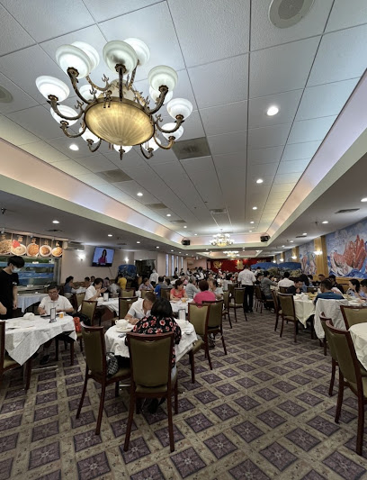
Essential places to dine
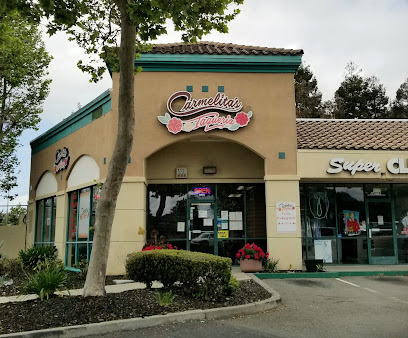
Carmelita's Taqueria, Inc.
7.7 km
Discover authentic Mexican cuisine at Carmelita's Taqueria in Union City - where every dish is crafted with love and tradition.
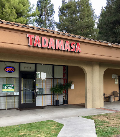
Tadamasa Ramen
7.7 km
Experience authentic Japanese ramen at Tadamasa Ramen in Union City – where rich flavors meet welcoming hospitality.
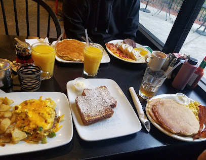
Break Your Fast
7.8 km
Experience delightful breakfasts at Break Your Fast in Union City – where every meal is crafted with love and fresh ingredients.
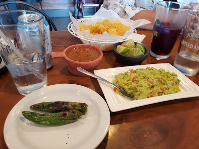
Playa Azul
7.8 km
Experience authentic Mexican cuisine at Playa Azul in Union City - where vibrant flavors meet warm hospitality.
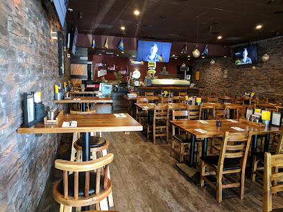
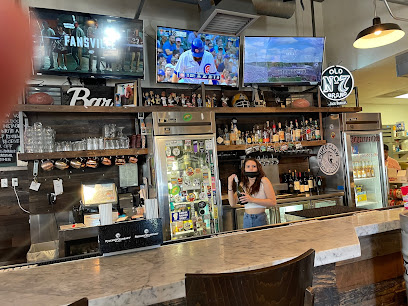
Bar Bay Grill
7.8 km
Experience the best of Asian fusion cuisine at Bar Bay Grill in Union City – where flavor meets fun in a vibrant sports bar setting.
Tangs Haus
7.9 km
Experience authentic Korean cuisine at Tangs Haus in Union City – a culinary gem offering delightful flavors and warm hospitality.
Happy Lamb Hot Pot, Union City 快乐小羊
8.0 km
Experience authentic Chinese hot pot at Happy Lamb Hot Pot in Union City - A culinary journey filled with fresh ingredients and rich flavors.
Chicken Pho Ga 88 Noodles Soup & Rice
8.1 km
Discover the authentic taste of Vietnam at Chicken Pho Ga 88 - where every bowl tells a story!
Mala Town 自选麻辣烫
8.1 km
Experience authentic Chinese hot pot at Mala Town in Union City - a perfect blend of flavor and fun for all food lovers.
Tacos Papo
8.1 km
Experience the true taste of Mexico at Tacos Papo in Union City—where every bite transports you to a fiesta of flavors.
Baldie's Cafe
8.1 km
Experience the charm of Baldie's Cafe in Union City - your go-to spot for delicious breakfasts and warm hospitality.
Din Ding Dumpling House
8.1 km
Experience authentic Asian cuisine at Din Ding Dumpling House with fresh dumplings and flavorful dishes in Union City.
Fong Kee Claypot
8.1 km
Discover Fong Kee Claypot: A culinary gem in Union City serving authentic Chinese dishes with a focus on clay pot specialties.
Golden Bay Seafood Harbor 金海湾渔港
8.1 km
Experience authentic Chinese flavors at Golden Bay Seafood Harbor - fresh seafood and traditional dishes await you in Union City.
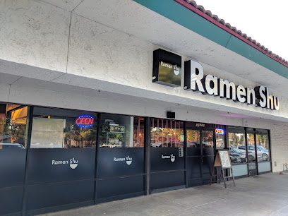
Ramen Shu
8.2 km
Experience authentic Japanese ramen at Ramen Shu in Union City - where tradition meets flavor in every delicious bowl.
Markets, malls and hidden boutiques
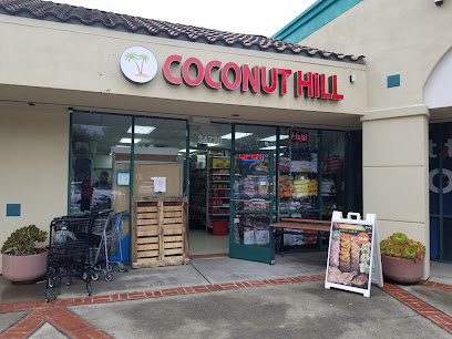
Coconut Hill Indian Grocery Union City
7.7 km
Discover authentic Indian ingredients and flavors at Coconut Hill Indian Grocery in Union City, a vibrant hub for food lovers and culinary enthusiasts.
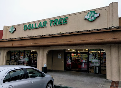
Dollar Tree
7.8 km
Explore Dollar Tree in Union City for unbeatable deals on household items, party supplies, and unique souvenirs—all for just one dollar!
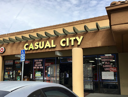
Casual City
7.8 km
Explore Casual City, the ultimate men's clothing store in Union City, where style meets comfort and individuality.
Union Square Marketplace
7.8 km
Discover the vibrant Union Square Marketplace in Union City, where shopping, dining, and entertainment come together for a perfect day out.
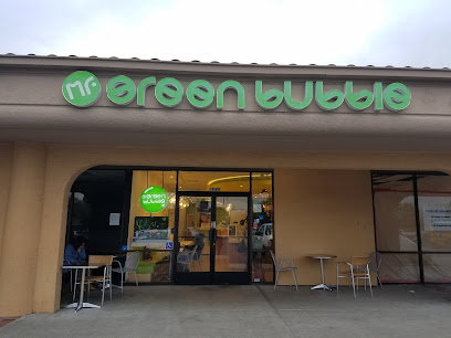
Mr. Green Bubble | Union City
7.9 km
Experience the best bubble tea and desserts at Mr. Green Bubble, Union City’s favorite spot for a refreshing treat.
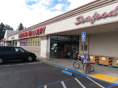
Loop Neighborhood Market
8.0 km
Explore Loop Neighborhood Market in Union City, CA, for a blend of convenience, quality coffee, and essential shopping on your travels.
El Mercado Plaza Shopping Center
8.1 km
Explore the vibrant El Mercado Plaza Shopping Center in Union City, where shopping meets cultural diversity and culinary delights await every visitor.
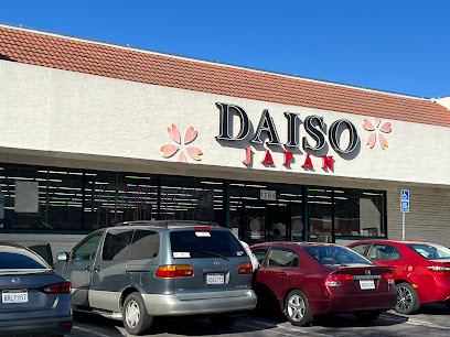
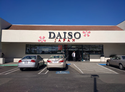
Daiso
8.2 km
Discover the charm of Daiso, where affordable Japanese goods and unique souvenirs await in a vibrant shopping atmosphere.
Pleasanton Gateway Shopping Center
9.5 km
Explore Pleasanton Gateway Shopping Center, a premier shopping destination in California with diverse stores, delicious dining, and family-friendly entertainment.
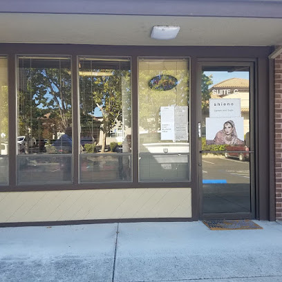
Shieno Sarees
9.6 km
Discover the vibrant world of traditional Indian sarees at Shieno Sarees, a boutique in Pleasanton offering exquisite women's clothing and unmatched craftsmanship.
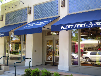
Fleet Feet Pleasanton
10.4 km
Discover Fleet Feet Pleasanton, your one-stop shop for premium running shoes, apparel, and a thriving community of fitness enthusiasts.
Fairway Park Shopping Center
10.4 km
Discover diverse shopping, dining, and entertainment at Fairway Park Shopping Center in Hayward, California.
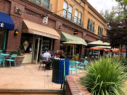
Almare Gelato Italiano
10.5 km
Experience authentic Italian gelato at Almare Gelato Italiano, a must-visit ice cream haven in Pleasanton, California.
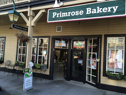
Primrose Bakery
10.6 km
Discover the sweet charm of Primrose Bakery in Pleasanton, CA, offering exquisite cakes, pastries, and wedding confections in a cozy atmosphere.
Studio Seven Arts Gallery and Custom Framing
10.6 km
Explore a creative haven at Studio Seven Arts Gallery in Pleasanton, featuring local art, unique gifts, and custom framing to inspire every visitor.
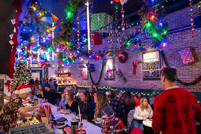
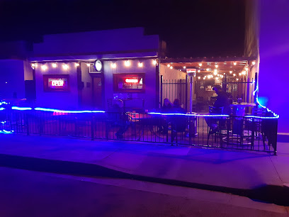
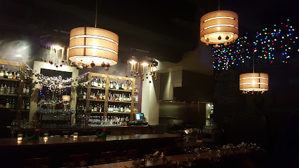
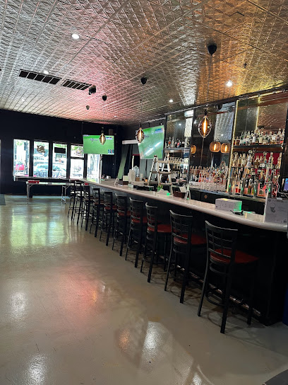
Essential bars & hidden hideouts
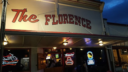
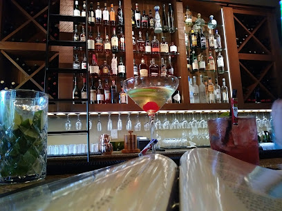
Florence Bar
4.3 km
Discover the charm of Florence Bar in Fremont, where good drinks and great company come together for an unforgettable night out.
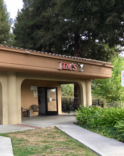
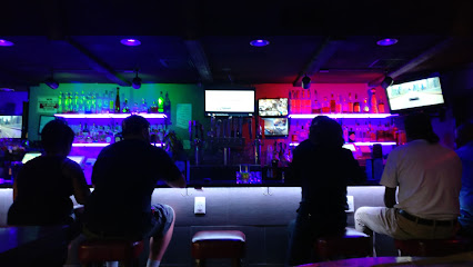
Jim's Cocktail Lounge
7.7 km
Experience vibrant nightlife and expertly crafted cocktails at Jim's Cocktail Lounge, Union City's finest bar for a memorable evening out.
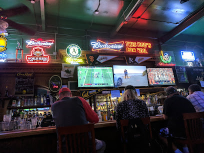
O'Sullivan's Sports Pub - Full Bar, an Irish Kitchen, 27 Draft Beers, Sports & Entertainment
9.1 km
Experience the best of Irish cuisine and craft beers at O'Sullivan's Sports Pub, Newark's premier destination for sports and entertainment.
The Florance
9.5 km
Experience the local charm at The Florance, a cozy bar in Union City, California, offering a unique selection of drinks and a welcoming atmosphere.
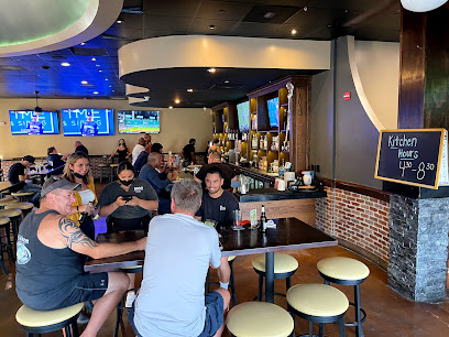
Neighborhood Sports Bar and Kitchen
10.4 km
Discover the lively Neighborhood Sports Bar and Kitchen, where great food, drinks, and sports create unforgettable moments in Pleasanton.
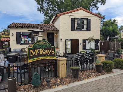
McKay's Taphouse & Beer Garden
10.4 km
Discover the vibrant atmosphere of McKay's Taphouse & Beer Garden in Pleasanton, where craft beer meets delicious food and live music.
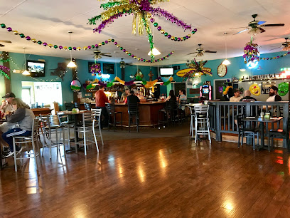
Middle 8
10.5 km
Experience the lively atmosphere and unique cocktails at Middle 8, a top bar in Pleasanton perfect for unwinding and socializing.
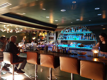
Cellar Door
10.7 km
Experience the vibrant nightlife at Cellar Door, Pleasanton's premier cocktail bar with live music and a cozy lounge atmosphere.
Pepper Tree Lounge
11.1 km
Dive into the nightlife at Pepper Tree Lounge in Union City, where dancing, billiards, and great drinks create unforgettable moments.
Main Street Brewery
11.2 km
Experience the best of Pleasanton with craft beers, delicious food, and live music at Main Street Brewery, the perfect gathering place for tourists.
Muscle Bar
11.7 km
Muscle Bar in Hayward, CA – A vibrant bar experience with great drinks and a friendly atmosphere for tourists seeking relaxation.
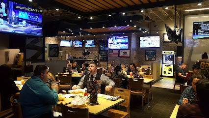
Buffalo Wild Wings
12.2 km
Experience the thrill of game day with mouthwatering wings and a vibrant atmosphere at Buffalo Wild Wings in Union City, California.
BottleTaps
12.4 km
Explore the vibrant craft beer scene at BottleTaps, Pleasanton’s premier restaurant and beer hall offering delicious food and an extensive selection of brews.
Sunshine Saloon Sports Bar and Charcoal Grill
12.5 km
Discover the lively atmosphere of Sunshine Saloon Sports Bar and Charcoal Grill, where delicious food meets sports excitement in Pleasanton, California.
The Draft Sports Pub
13.2 km
Experience the ultimate sports atmosphere at The Draft Sports Pub in Pleasanton, where great food and live sports come together for an unforgettable outing.
Nightclubs & after hour spots
The Mojo Lounge
6.6 km
Discover Fremont's nightlife at The Mojo Lounge, a lively spot for cocktails, live music, and sports entertainment in a vibrant atmosphere.
Ultra Music Studio
11.1 km
Discover the ultimate karaoke experience at Ultra Music Studio in Fremont, where every night is filled with music, laughter, and unforgettable moments.
Tommy T's Comedy Club
13.9 km
Discover the perfect blend of laughter and fine dining at Tommy T's Comedy Club in Pleasanton, CA - where comedy and cuisine unite for an unforgettable night out.
K1 Paddock Lounge - Sports Bar & Restaurant - Dublin, CA
14.7 km
Experience the thrill of sports and gourmet dining at K1 Paddock Lounge, Dublin's top sports bar and grill.

Railroad Saloon
18.6 km
Discover the lively Railroad Saloon in Livermore, a bar known for its welcoming atmosphere, diverse drinks, and fun karaoke nights.
The Fat Pigeon
18.6 km
Discover The Fat Pigeon, your perfect bar getaway in Livermore, California, offering a vibrant atmosphere and a diverse drink selection for every taste.
The Good Time Tavern
18.7 km
Discover The Good Time Tavern in Livermore, a lively bar and pizza restaurant perfect for unwinding with great food and drinks.
The Last Word
18.8 km
Discover the vibrant flavors of Livermore at The Last Word, a gastropub that offers a delightful dining experience with a local twist.
The Local Bar
18.9 km
Experience the vibrant nightlife and local flavors at The Local Bar in Livermore, California, where every drink tells a story.
Doucet Saloon
18.9 km
Discover Doucet Saloon, Castro Valley's favorite dive bar, offering a friendly atmosphere, great drinks, and unforgettable nights out.
The Note
19.0 km
Experience the vibrant nightlife of Milpitas at The Note, a chic lounge and cocktail bar perfect for socializing and unwinding.
R PLACE MUSIC CLUB
19.0 km
Discover the lively nightlife at R Place Music Club in Livermore featuring live music, delicious drinks, and a welcoming atmosphere for all.
Valley Inn
19.0 km
Experience the vibrant nightlife at Valley Inn, a lively bar in Castro Valley, offering cocktails, events, and a welcoming atmosphere for all.
The Oak Door
19.1 km
Discover The Oak Door, a charming bar in Livermore, offering a unique selection of craft cocktails and local wines in a welcoming atmosphere.
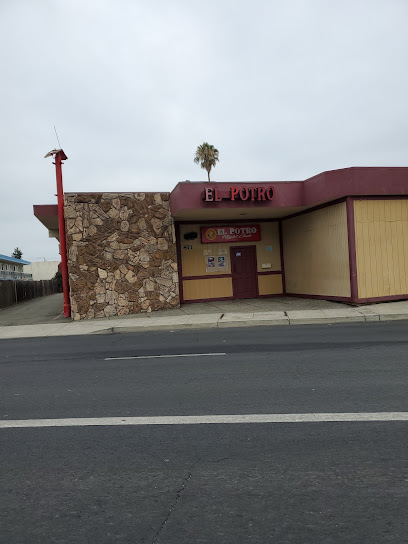
El Potro Club
19.1 km
Discover the vibrant nightlife of Hayward at El Potro Club, an adult entertainment venue offering electrifying performances and a lively atmosphere.