
Mount McKay: A Majestic Peak Overlooking Thunder Bay
Discover the breathtaking views and rich cultural heritage of Mount McKay, an iconic mountain peak in Thunder Bay, Ontario.
Perched high above Thunder Bay, Mount McKay offers breathtaking panoramic views of the city and surrounding landscapes. This iconic mountain peak is a must-visit for nature lovers and adventure seekers alike, providing a perfect blend of outdoor activities and stunning vistas. Immerse yourself in the natural beauty of Ontario as you explore the scenic trails and marvel at the stunning sunsets from this remarkable vantage point.
A brief summary to Mount McKay
- Thunder Bay District, Ontario, CA
Local tips
- Visit during sunrise or sunset for the most stunning views and photo opportunities.
- Wear sturdy shoes and bring water, especially if you plan to hike the trails.
- Check local weather conditions beforehand to ensure a safe and enjoyable visit.
- Take time to learn about the cultural significance of the mountain to the Indigenous communities.
- Keep an eye out for wildlife, including various bird species that inhabit the area.
Getting There
-
Car
From any location in Eastern Ontario, head towards Highway 401. If you are near Kingston, take Highway 401 West until you reach Highway 400 North. Continue on Highway 400 North until you connect with Highway 11 North. Follow Highway 11 North all the way to Thunder Bay. Once you arrive in Thunder Bay, look for signs leading to Mount McKay. The coordinates are approximately 48.345278 latitude and -89.285556 longitude. Once you reach the area, you can park at the designated parking lot near the base of Mount McKay, from where you can start your hike.
-
Public Transportation
If you're relying on public transportation, take a bus to Thunder Bay. Greyhound and Ontario Northland are common bus services that operate in this region. Once in Thunder Bay, you can use local transit services (Thunder Bay Transit) to get close to Mount McKay. The bus routes vary, so check the local transit schedule for the best route to the nearest stop to Mount McKay. After getting off at the bus stop, you may need to walk or take a taxi to reach the base of Mount McKay.
-
Taxi or Rideshare
If you prefer not to walk from the bus stop to Mount McKay, consider using a taxi or rideshare service like Uber. Simply request a ride to Mount McKay's coordinates (48.345278, -89.285556) from your current location in Thunder Bay. The cost will vary based on distance but expect to pay around $10-$20 CAD for a ride from downtown Thunder Bay.
Discover more about Mount McKay
Iconic landmarks you can’t miss
Mount McKay
0.0 km
Discover the breathtaking views and rich cultural heritage of Mount McKay, an iconic mountain peak in Thunder Bay, Ontario.
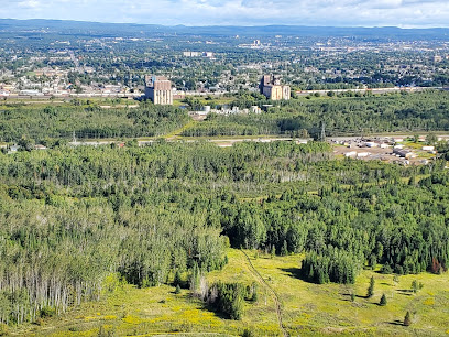
Terry Fox Monument And Statue
17.8 km
Explore the Terry Fox Monument in Thunder Bay, a touching tribute to a Canadian hero whose courage inspired generations and continues to raise awareness for cancer.
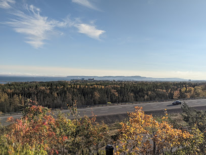
Clearwater Historic Lodge and Canoe Outfitters
86.9 km
Discover the perfect blend of adventure and history at Clearwater Historic Lodge and Canoe Outfitters in Grand Marais, MN, your gateway to the Northwoods.
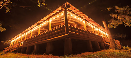
Unmissable attractions to see
Kaministiquia River Heritage Park
4.9 km
Explore the tranquil beauty and rich heritage of Kaministiquia River Heritage Park in Thunder Bay, Ontario, a perfect destination for outdoor enthusiasts.
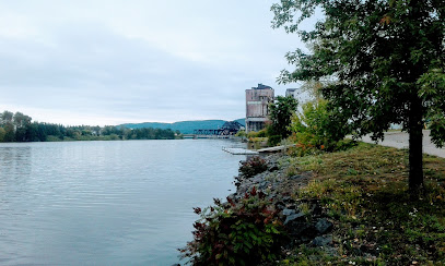
Fort William Historical Park
5.1 km
Immerse yourself in Canada's fur trade history at Fort William Historical Park, a captivating blend of culture, recreation, and education in Thunder Bay.
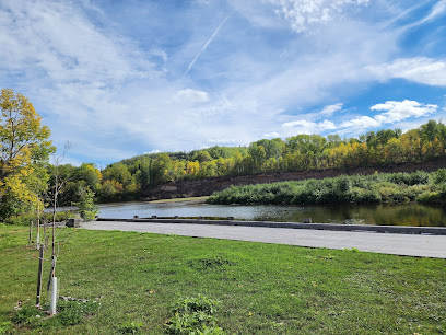
Thunder Bay Museum
5.1 km
Uncover the fascinating history of Thunder Bay at the Thunder Bay Museum, where local culture and heritage come alive through engaging exhibits.
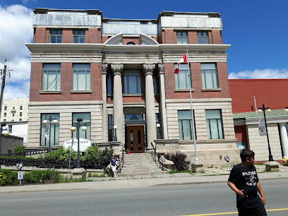
Oliver Paipoonge Heritage Park
10.4 km
Explore the captivating history of Ontario at Oliver Paipoonge Heritage Park, a museum that showcases the region's rich heritage amidst breathtaking natural beauty.
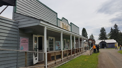
Hillcrest Park
10.6 km
Explore the natural beauty of Hillcrest Park in Thunder Bay, offering stunning views, walking trails, and family-friendly amenities in a serene urban setting.
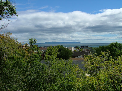
Lorne Allard Fisherman's Park
14.1 km
Discover the serene beauty of Lorne Allard Fisherman's Park in Thunder Bay, a perfect getaway for nature lovers and fishing enthusiasts alike.
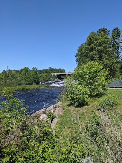
Cascades Conservation Area
16.9 km
Discover the serene beauty of Cascades Conservation Area in Thunder Bay, a perfect destination for nature lovers and outdoor enthusiasts.
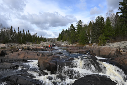
Terry Fox National Historic Person Plaque.
17.8 km
Visit the Terry Fox National Historic Person Plaque in Thunder Bay to honor a Canadian hero and enjoy breathtaking views that inspire reflection and hope.
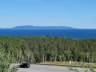
Kakabeka Falls Provincial Park
25.9 km
Explore the breathtaking beauty of Kakabeka Falls Provincial Park, a natural wonder in Ontario featuring stunning waterfalls, scenic trails, and rich wildlife.
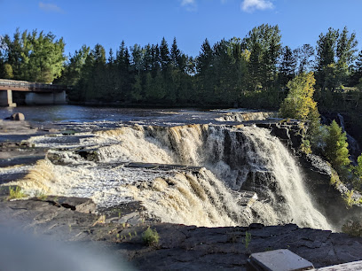
Hazelwood Lake Conservation Area
27.0 km
Explore the beauty of Hazelwood Lake Conservation Area, a nature preserve in Thunder Bay, Ontario, perfect for hiking and experiencing stunning northern lights.
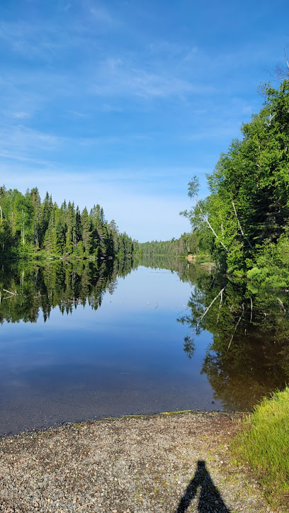
Sleeping Giant Provincial Park
35.6 km
Explore Sleeping Giant Provincial Park, a stunning natural haven with breathtaking landscapes, diverse wildlife, and exceptional hiking trails on Lake Superior.
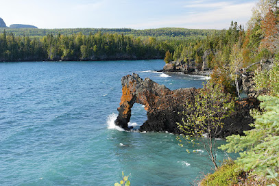
Thunder Bay Lookout
37.0 km
Discover breathtaking views at Thunder Bay Lookout, a stunning observation deck in Ontario with panoramic vistas of Lake Superior and lush wilderness.
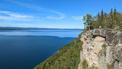
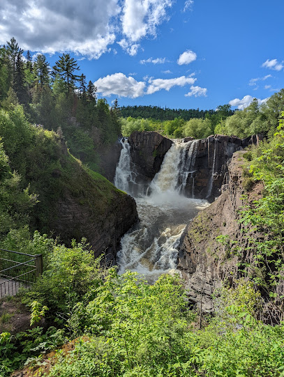
High Falls Overlook
44.4 km
Discover the breathtaking beauty of High Falls Overlook in Grand Portage, Minnesota, where nature's grandeur awaits at every turn.
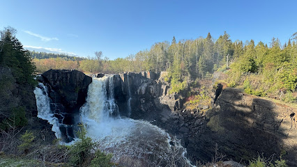
Grand Portage State Park
44.6 km
Explore the stunning landscapes and rich heritage of Grand Portage State Park, a premier destination for nature lovers and outdoor adventurers in Minnesota.
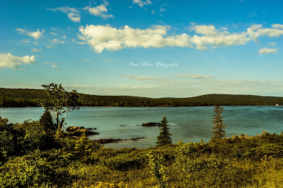
Isle Royale National Park
47.8 km
Explore the wilderness of Isle Royale National Park in Michigan, where stunning landscapes and rich wildlife await every visitor.
Essential places to dine
Caribou Restaurant + Wine Bar
7.0 km
Discover exquisite dining at Caribou Restaurant + Wine Bar in Thunder Bay—where every meal is an unforgettable experience paired with exceptional wines.

Daytona's Kitchen + Creative Catering
7.4 km
Experience the vibrant culinary scene at Daytona's Kitchen + Creative Catering in Thunder Bay - where innovation meets local flavor.

Greenstone Grill
63.4 km
Experience delightful dining at Greenstone Grill in Houghton Township, Michigan—where local flavors meet rustic charm in a breathtaking setting.
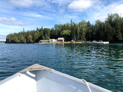
Trail Center At Poplar Lake
94.5 km
Discover rustic dining and cozy lodging at Trail Center At Poplar Lake amidst Minnesota's breathtaking wilderness.
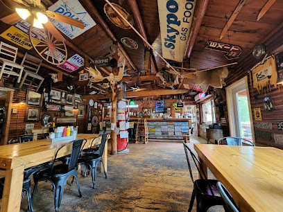
Poplar Haus Restaurant, Bar & Cabins
96.1 km
Experience the best of North Woods dining at Poplar Haus Restaurant & Cabins—where rustic charm meets exquisite grill cuisine.

Skyport Lodge & Raven Rock Grill
99.6 km
Experience unparalleled dining and breathtaking views at Skyport Lodge & Raven Rock Grill in Grand Marais, Minnesota.

Markets, malls and hidden boutiques
Toke House
2.2 km
Discover the vibrant world of cannabis at Toke House in Thunder Bay, where quality products meet exceptional customer service.

Gene Boshkaykin
4.8 km
Discover the charm of Thunder Bay at Gene Boshkaykin Gift Shop, where unique local crafts and souvenirs await every visitor.
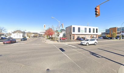
Paro Presents Gift Shop
5.3 km
Discover unique gifts and local craftsmanship at Paro Presents Gift Shop in Thunder Bay, Ontario – a must-visit for every traveler.

Victoria's Cupboard
5.3 km
Explore Victoria's Cupboard in Thunder Bay for unique, handcrafted gifts and local artistry that capture the essence of Ontario.

Vintage Pixie Studio
5.6 km
Explore Vintage Pixie Studio in Thunder Bay for unique handcrafted gifts and souvenirs that showcase local artistry and charm.

Showcase
7.1 km
Explore Showcase in Thunder Bay for a delightful shopping experience filled with gifts, beauty supplies, electronics, home goods, and toys.

4 Seasons Shop
7.8 km
Explore the charm of Thunder Bay at 4 Seasons Shop, your destination for unique gifts and local artisan crafts.
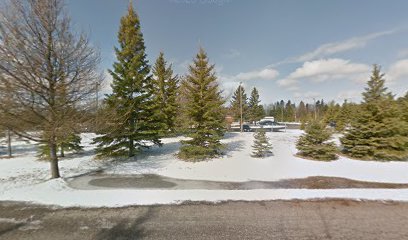
Fireweed Crafts
10.4 km
Explore the charm of Thunder Bay at Fireweed Crafts, your destination for unique handmade gifts and local artistry.

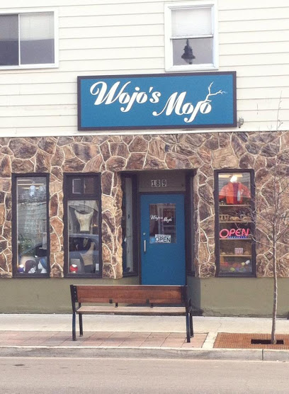
Wojo's Mojo
10.4 km
Explore Wojo's Mojo in Thunder Bay for unique gifts and artisan crafts that capture the spirit of Ontario.
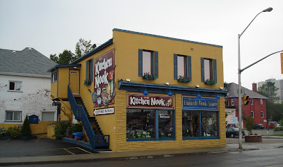
The Kitchen Nook/ Finnish Book Store
10.5 km
Explore The Kitchen Nook in Thunder Bay: A unique Finnish bookstore and gift shop offering authentic treasures and delightful finds.
Authentique Gift Shop
10.5 km
Discover unique gifts and local crafts at Authentique Gift Shop in Thunder Bay, where every find tells a story of Ontario's rich heritage.

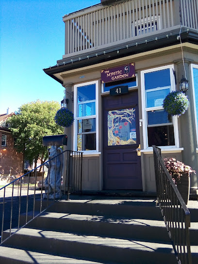
The Mystic Garden
11.0 km
Explore The Mystic Garden in Thunder Bay, a charming gift shop filled with unique local crafts, perfect for finding that special souvenir or gift.
McChristie's Bath & Body Co.
11.1 km
Explore the charm of McChristie's Bath & Body Co. in Thunder Bay for unique, handmade bath and body gifts that embody local craftsmanship.

Cathy's Discount Gift Ctr
11.1 km
Explore unique gifts and local treasures at Cathy's Discount Gift Center in Thunder Bay, the perfect stop for memorable shopping.

Dene Cree Designs
11.1 km
Discover the artistry of the Dene people at Dene Cree Designs, your destination for authentic Indigenous gifts in Thunder Bay.

Essential bars & hidden hideouts
Bannon's Restaurant
1.0 km
Discover the flavors of Ontario at Bannon's Restaurant in Fort William First Nation, where local ingredients and warm hospitality create unforgettable dining experiences.

Cheer's The Village Pub
2.1 km
Experience the Heart of Thunder Bay at Cheer’s The Village Pub: Great Food, Drinks, and Local Culture Await.

Wayland Bar & Grill
2.3 km
Experience the vibrant atmosphere and delicious grilled dishes at Wayland Bar & Grill, a must-visit spot in Thunder Bay for food lovers.
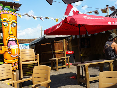
The Westfort
2.3 km
Experience the heart of Thunder Bay's nightlife at The Westfort, a vibrant bar offering a diverse drink selection and friendly atmosphere.

Vanilla unicorn
3.2 km
Discover the vibrant nightlife at Vanilla Unicorn, a lively bar in Thunder Bay offering unique cocktails and a welcoming atmosphere.

Airport Bar
3.6 km
Discover the cozy ambiance of Thunder Bay's Airport Bar, where local flavors meet a relaxing atmosphere for travelers.

River Rock Bar & Grill
3.9 km
Experience the best of Thunder Bay dining at River Rock Bar & Grill, where delicious grilled dishes meet a cozy atmosphere.

The Lake and Spruce Restaurant
4.1 km
Experience the delightful flavors and cozy ambiance at The Lake and Spruce Restaurant in Thunder Bay, Ontario, perfect for families and food lovers alike.
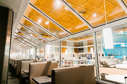
Skål Restaurant
4.1 km
Discover the culinary charm of Skål Restaurant, where local flavors meet international cuisine in a cozy lounge atmosphere in Thunder Bay.

Da Vinci Centre
4.1 km
Discover the Da Vinci Centre: A vibrant bar and banquet hall in Thunder Bay, blending culinary delights with a cultural experience.

Rockhouse
5.0 km
Discover Rockhouse, Thunder Bay's vibrant bar offering eclectic drinks, live music, and a lively atmosphere perfect for socializing and relaxation.

The Tilted Turret Pinball Pub
5.2 km
Discover the ultimate blend of pub culture and arcade fun at The Tilted Turret Pinball Pub in Thunder Bay, where every visit is a game-changer.
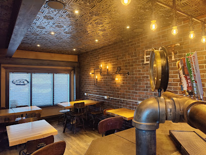
Monty's Joint
5.2 km
Monty's Joint in Thunder Bay: A vibrant pub offering delicious food, a lively atmosphere, and a taste of local nightlife.

The Alley
5.5 km
Experience the ultimate sports bar in Thunder Bay with great food, drinks, and an unbeatable atmosphere for all sports fans.

Addy 227
5.7 km
Discover the vibrant nightlife at Addy 227 in Thunder Bay, where lively atmospheres and diverse drinks await every visitor.


