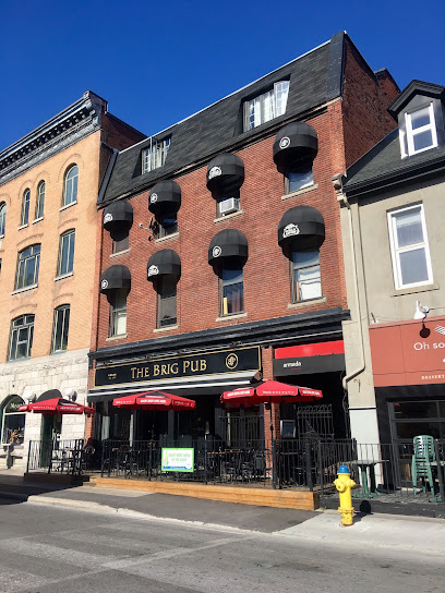
Explore the First Geodetic Survey Station National Historic Site of Canada
Discover the legacy of Canada's first geodetic survey at this historic site in Chelsea, Quebec, where history meets stunning landscapes.
Nestled in Chelsea, Quebec, the First Geodetic Survey Station National Historic Site of Canada offers a fascinating glimpse into Canada's surveying history. This historical landmark is perfect for tourists who appreciate heritage and the story of geographical precision.
A brief summary to First Geodetic Survey Station National Historic Site of Canada
- Chelsea, Quebec, CA
- +1866-456-3016
- Visit website
Local tips
- Visit during the weekend for extended hours and a more relaxed atmosphere.
- Check out any guided tours available for a deeper understanding of the site's significance.
- Bring your camera to capture the beautiful landscapes surrounding the historic site.
- Wear comfortable walking shoes as the terrain can be uneven.
Getting There
-
Car
If you are driving to the First Geodetic Survey Station National Historic Site of Canada, head towards Chelsea, Quebec. From Montreal, take Autoroute 40 (A-40) westbound. Merge onto Autoroute 15 (A-15) north towards Sainte-Agathe-des-Monts. Continue on A-15 until you reach the exit for Autoroute 50 (A-50) towards Gatineau. Merge onto A-50 and follow the signs for Chelsea. Take exit 8 for Rue de la Montagne/Chelsea and follow the signs until you reach the site at 45.4890729 latitude and -75.8626194 longitude. There is usually parking available nearby, but check for any associated fees.
-
Public Transportation
To reach the First Geodetic Survey Station National Historic Site of Canada using public transportation, start by taking a bus from Montreal to Gatineau. You can use the STM (Société de transport de Montréal) to get to the Central Station, where you can board a bus to Gatineau. Once in Gatineau, transfer to the local bus service (Gatineau transit) and take bus number 44 towards Chelsea. You will need to get off at the stop closest to the site at 45.4890729 latitude and -75.8626194 longitude. Make sure to check the local schedules for bus timings. A round-trip ticket from Montreal to Gatineau typically costs around CAD 15-20, while local bus fares in Gatineau are about CAD 3.50.
-
Taxi/Rideshare
For a more direct route, consider using a taxi or rideshare service like Uber. From anywhere in Montérégie, you can request a ride to Chelsea, Quebec. Provide the driver with the exact location coordinates (45.4890729, -75.8626194). The cost will vary depending on your starting location, but expect to pay between CAD 30-70 from most parts of Montérégie to Chelsea.
Discover more about First Geodetic Survey Station National Historic Site of Canada
Iconic landmarks you can’t miss
First Geodetic Survey Station National Historic Site of Canada
0.0 km
Discover the legacy of Canada's first geodetic survey at this historic site in Chelsea, Quebec, where history meets stunning landscapes.
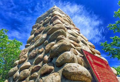
745 Kichi Zībī Mīkan
13.0 km
Explore the stunning architectural marvel of 745 Kichi Zībi Mīkan in Ottawa's Westboro, where modern design meets cultural heritage.
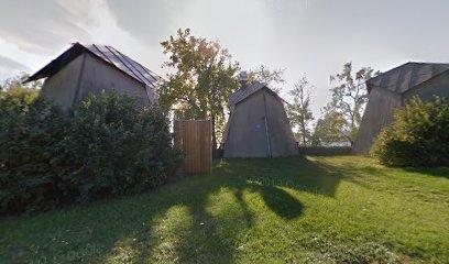
Westboro Beach
13.1 km
Discover the tranquil beauty of Westboro Beach in Ottawa, where relaxation meets recreation along the stunning Ottawa River.
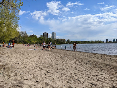
Giant Gate Valve
13.1 km
Explore the Giant Gate Valve in Ottawa, a stunning historical landmark that showcases the city's engineering heritage amidst breathtaking scenery.
Parks Canada Agency
13.4 km
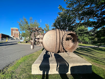
Discover the essence of Canada's natural and cultural heritage at the Parks Canada Agency in Gatineau, your gateway to breathtaking landscapes and rich history.
Historic Sites and Monuments Board of Canada
13.5 km
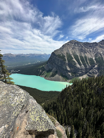
Discover Canada's rich historical tapestry at the Historic Sites and Monuments Board, a federal hub dedicated to preserving and celebrating national heritage.
25 Laurier St
13.7 km
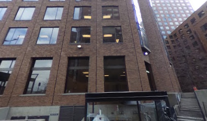
Experience the charm and architectural beauty of 25 Laurier Street in Gatineau, a must-visit landmark that reflects the city's rich culture.
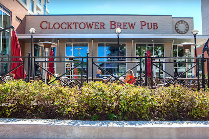
Clocktower Brew Pub Westboro
13.7 km
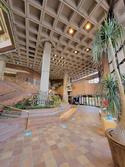
Explore the vibrant flavors of Ottawa at Clocktower Brew Pub Westboro, where craft beer meets delicious pub fare in a cozy atmosphere.
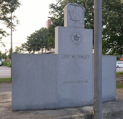
Westboro Cenotaph
13.7 km
Discover the Westboro Cenotaph, a serene historical landmark in Ottawa honoring the sacrifices of Canadian soldiers with beautiful surroundings.
Ottawa Farmers’ Market: Westboro
13.7 km
Explore the Ottawa Farmers’ Market in Westboro for fresh produce, artisanal goods, and a vibrant community atmosphere every Saturday.

Portage Bridge
13.8 km
Explore the breathtaking views from Portage Bridge, connecting Ottawa and Gatineau—a must-visit for tourists seeking scenic beauty and cultural connection.
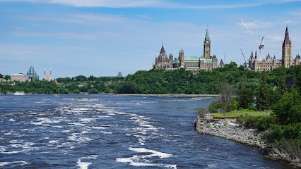
Indigo Indigo Ottawa - Canadian War Museum
13.9 km
Explore Canada's rich military history at the Canadian War Museum in Gatineau, where stories of courage and sacrifice come to life through immersive exhibits.
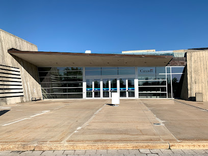
Log Chute
13.9 km
Explore the scenic beauty and rich history of Log Chute, a must-visit historical landmark in Ottawa, renowned for its natural charm and serene atmosphere.
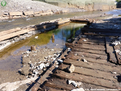
Bronson Channel Ruins
13.9 km
Explore the Bronson Channel Ruins, a captivating historical landmark in Ottawa, where the stories of the past meet stunning riverside views.
Hintonburg Connection
14.0 km
Explore the vibrant Hintonburg Connection, a hub of culture and creativity in Ottawa, perfect for visitors seeking local experiences.

Unmissable attractions to see
Mackenzie King Estate
1.3 km
Discover the historic Mackenzie King Estate, a serene retreat in Gatineau Hills showcasing beautiful gardens and rich Canadian heritage.
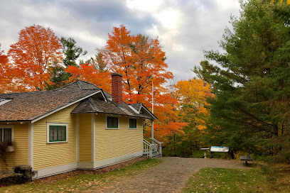
Gatineau Park Visitor Centre
4.4 km
Explore the natural beauty of Gatineau Park at the Visitor Centre, your gateway to outdoor adventures and breathtaking landscapes in Quebec.
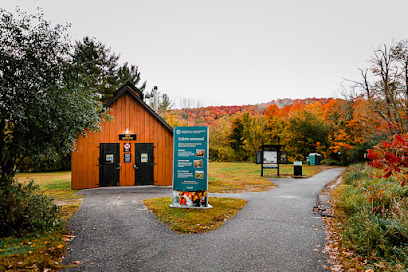
Champlain Lookout
4.5 km
Discover the stunning Champlain Lookout in Quebec, where breathtaking views and natural beauty await every tourist seeking the perfect getaway.
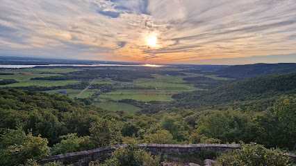
Pink Lake Lookout
4.9 km
Explore the stunning Pink Lake Lookout in Gatineau, Quebec, a perfect blend of breathtaking views and outdoor adventure.
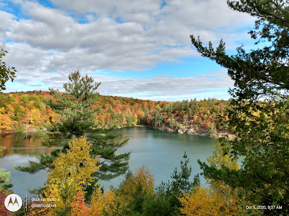
Ruines Carbide Willson
5.5 km
Explore the historic Carbide Willson ruins in Chelsea, Quebec, where stunning landscapes meet fascinating industrial heritage.

Chelsea Community Trail
6.9 km
Discover the Chelsea Community Trail, a breathtaking hiking area in Quebec offering stunning views and a serene escape into nature.
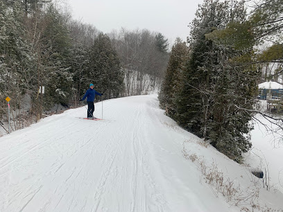
Pinhey's Point Historic Site
8.9 km
Explore the rich heritage and scenic beauty of Pinhey's Point Historic Site, a unique museum nestled along the Ottawa River in Ontario.
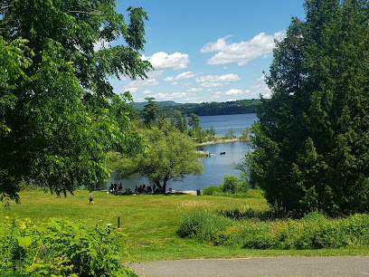
Parc de la Gatineau
9.6 km
Discover the stunning landscapes and outdoor adventures at Parc de la Gatineau, a natural gem in Quebec perfect for nature lovers and outdoor enthusiasts.
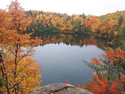
Sheila McKee Park
10.5 km
Explore the serene landscapes and vibrant ecosystems of Sheila McKee Park, a perfect retreat for nature lovers and outdoor adventurers in Dunrobin, Ontario.

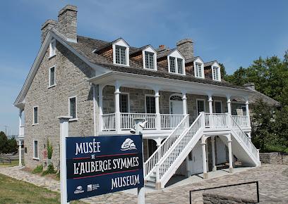
Symmes Inn Museum
10.5 km
Discover the intriguing history and cultural heritage of Gatineau at the Symmes Inn Museum, a local gem for history lovers and curious travelers.
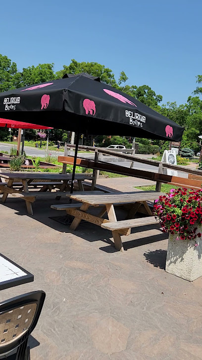
Bistro L'Autre Oeil
10.6 km
Discover the culinary delights of Bistro L'Autre Oeil, a top bistro in Gatineau offering a unique blend of flavors and a cozy atmosphere.
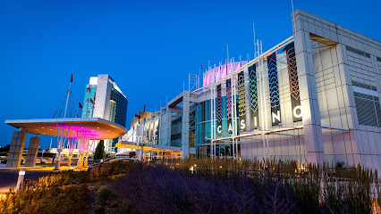
Casino du Lac-Leamy
11.7 km
Discover the vibrant energy of Casino du Lac-Leamy in Gatineau, where gaming, dining, and entertainment converge amidst stunning natural beauty.
Remic Rapids Park
12.7 km
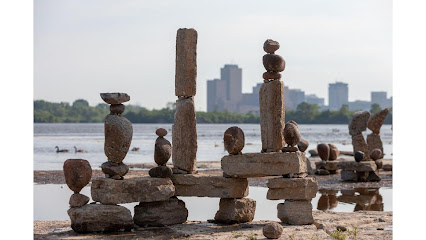
Explore Remic Rapids Park in Ottawa, a serene escape featuring beautiful trails, stunning river views, and art installations in a lush natural setting.
Montcalm-Taché Park
13.0 km
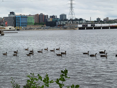
Experience tranquility and natural beauty at Montcalm-Taché Park, a perfect urban oasis for relaxation and outdoor activities in Gatineau.
Kichi Zībī Mīkan
13.3 km
Experience the rich Indigenous culture and captivating art at Kichi Zīī Mīkan in Ottawa, a vibrant hub of heritage and community.

Essential places to dine
Le Cellier
13.1 km
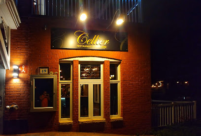
Discover Le Cellier: A premier French restaurant in Gatineau offering exquisite cuisine and an elegant dining experience.
Moe's World Famous Newport Restaurant & Donna’s Express
13.4 km
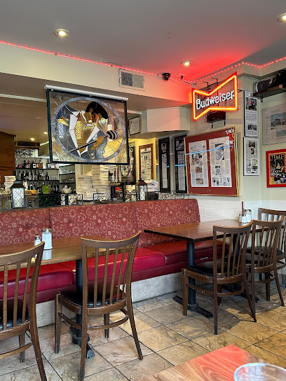
Experience delightful dining at Moe's World Famous Newport Restaurant & Donna’s Express in Ottawa – where taste meets tradition.
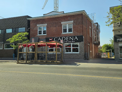
Cadena Restaurant & Tapas Bar
13.7 km
Experience authentic Spanish cuisine at Cadena Restaurant & Tapas Bar in Ottawa’s Westboro district - where every meal is a flavorful journey.
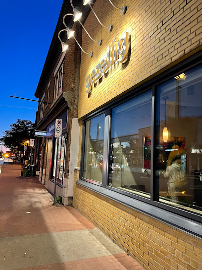
Gezellig
13.7 km
Discover Gezellig: A culinary oasis in Ottawa's Westboro district offering exquisite Canadian cuisine in a charming setting.
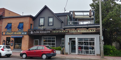
Pure Kitchen Westboro
13.7 km
Discover Pure Kitchen in Westboro: Ottawa's premier destination for delicious vegetarian and vegan dining experiences.
Brassica
13.7 km
Discover Brassica in Ottawa's Westboro: A top-notch restaurant serving innovative dishes with locally sourced ingredients.
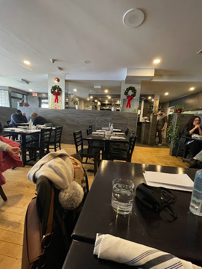
Trio Bistro and Lounge
13.7 km
Discover Trio Bistro and Lounge in Westboro: where exquisite cuisine meets a vibrant atmosphere for an unforgettable dining experience.

Fratelli Westboro
13.7 km
Experience authentic Italian cuisine at Fratelli Westboro - where every dish tells a story.
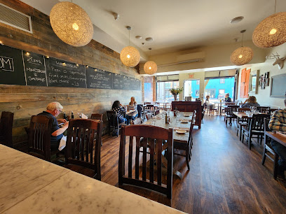
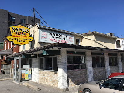
Napoli's Restaurant Pizza & Pasta
13.8 km
Experience authentic Italian cuisine at Napoli's Restaurant Pizza & Pasta in Westboro – where every dish tells a story.
Stofa Restaurant
14.0 km
Experience exquisite dining at Stofa Restaurant in Ottawa, where fresh local ingredients meet innovative culinary artistry.

Supply and Demand
14.0 km
Discover exquisite flavors at Supply and Demand, Ottawa's premier destination for seasonal cuisine crafted with passion and creativity.

Wellington Gastropub
14.0 km
Experience Ottawa's culinary scene at Wellington Gastropub, where local ingredients meet innovative cuisine in a cozy atmosphere.
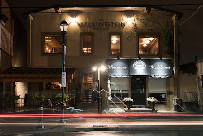
Petit Bill's Bistro
14.1 km
Discover Ottawa's culinary treasure at Petit Bill's Bistro – where fresh ingredients meet exquisite flavors in a charming setting.

Bar Lupulus
14.2 km
Discover culinary excellence at Bar Lupulus - Ottawa's premier gastropub offering gourmet dishes and an extensive selection of craft beers.

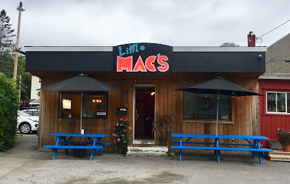
Little Mac's
14.3 km
Discover Little Mac's in Ottawa: A cozy restaurant offering delicious comfort food with friendly service at budget-friendly prices.
Markets, malls and hidden boutiques
Gift shop
13.7 km
Discover unique Canadian souvenirs and handcrafted treasures at the gift shop in the Canadian Museum of History.

FASHION UNITED
13.7 km
Explore Fashion United in Ottawa's Westboro: A boutique haven offering trendy apparel and unique accessories for every style.

Pokoloko
13.7 km
Explore Pokoloko in Ottawa's Westboro for unique gifts, stylish clothing, and home goods that celebrate local artistry.

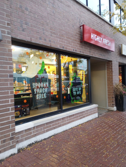
Highly Fresh
13.7 km
Explore Highly Fresh, Ottawa's premier gift shop for unique, locally sourced treasures and unforgettable souvenirs in the heart of Westboro.
Must Boutique
13.7 km
Explore Must Boutique in Ottawa for unique clothing that blends contemporary fashion with timeless elegance, perfect for every wardrobe.

La muse Westboro Ottawa
13.7 km
Explore La Muse in Westboro for chic women's fashion that effortlessly combines contemporary style with timeless elegance, set in Ottawa's vibrant fashion scene.

Three Wild Women
13.7 km
Discover unique women's fashion and stylish accessories at Three Wild Women in Ottawa's charming Westboro district.

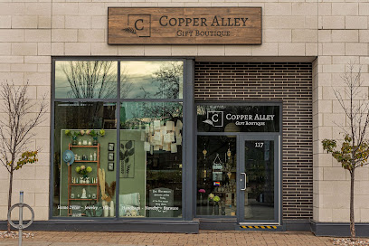
Copper Alley Gift Boutique
13.8 km
Explore Copper Alley Gift Boutique in Ottawa for unique gifts and artisan crafts that celebrate local artistry and culture.
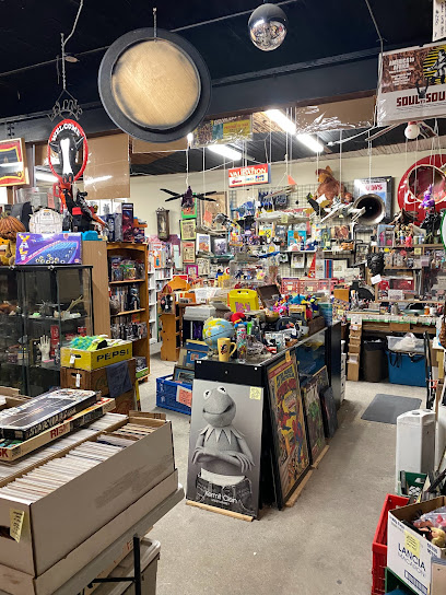
Nostalgia Warehouse
14.1 km
Explore the Nostalgia Warehouse in Ottawa – a unique antique and collectibles store offering a delightful journey through time for all treasure hunters.
Victoire Boutique
14.1 km
Explore Victoire Boutique for unique Canadian fashion, showcasing local designers and a warm shopping experience in Ottawa's vibrant Wellington Village.

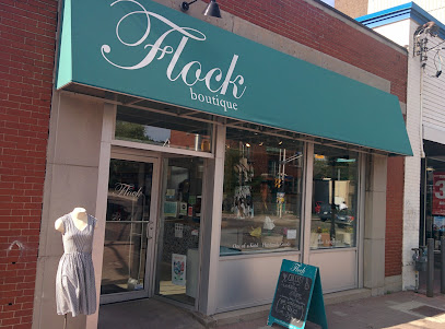
Flock Boutique
14.1 km
Discover unique, locally-made women's clothing at Flock Boutique in Ottawa's Wellington Village, where fashion meets Canadian craftsmanship.
Kindred Shop and Studio
14.2 km
Explore Kindred Shop and Studio for unique gifts, clothing, and handcrafted jewelry that embody the essence of Ottawa's creativity.

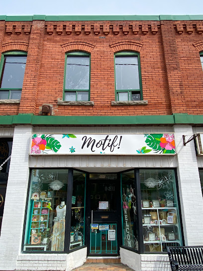
Flamingo Motif Boutique
14.3 km
Explore Flamingo Motif Boutique: a treasure trove of unique gifts, local artistry, and vintage finds in Ottawa’s vibrant shopping scene.
Trove Fashion
14.3 km
Explore Trove Fashion in Ottawa for sustainable shopping and a treasure trove of unique fashion finds, from chic clothing to stunning accessories.

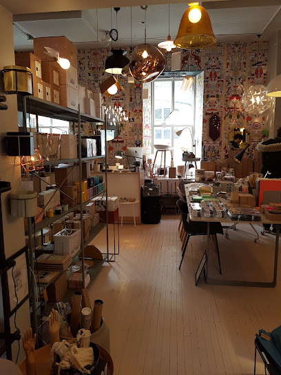
The Modern Shop
14.5 km
Explore The Modern Shop in Ottawa's Little Italy for unique gifts, stylish furniture, and exquisite home decor that define contemporary design.
Essential bars & hidden hideouts
Westboro Barley Mow
13.7 km
Savor delicious pub fare and craft beers at Westboro Barley Mow, a local favorite in Ottawa's vibrant Westboro neighborhood.
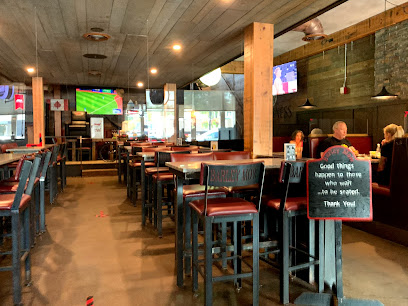
Churchills
13.7 km
Experience the unique charm and delicious offerings of Churchills, Ottawa's lively pub that blends comfort with culinary excellence.
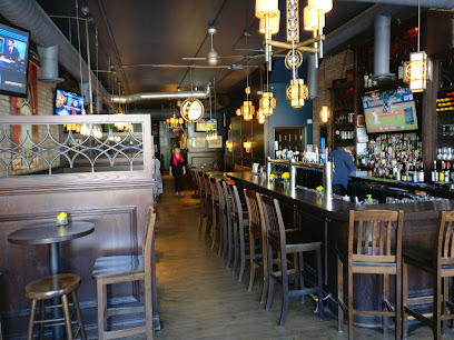
Tavern on the Falls
14.0 km
Tavern on the Falls: A must-visit pub in New Edinburgh, Ottawa, featuring local craft beers and stunning views of the falls.
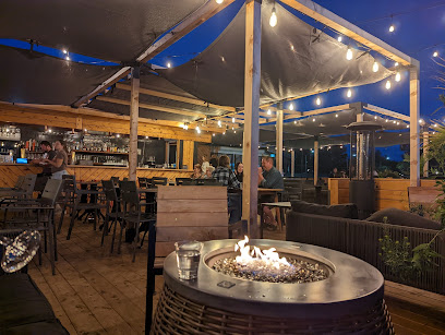
Mill Street Brew Pub Ottawa
14.0 km
Discover the vibrant flavors of Mill Street Brew Pub Ottawa, where craft beers and delicious dishes create a memorable dining experience.
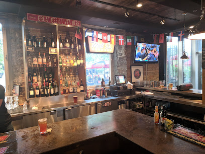
The Wood On Wellington
14.2 km
Experience the warmth of local hospitality at The Wood On Wellington, Ottawa's beloved pub serving delicious food and craft beverages.
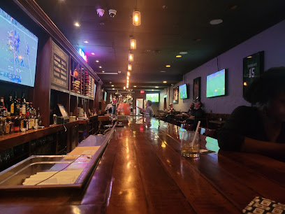
The Royal Oak - Wellington at Hinton
14.2 km
Experience the charm of The Royal Oak - Wellington, where delicious food meets a vibrant pub atmosphere in the heart of Ottawa.
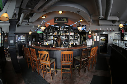
O'Connell's Irish Pub
14.2 km
Discover O'Connell's Irish Pub: Ottawa's spirited destination for authentic Irish cuisine, drinks, and live music in a warm, welcoming atmosphere.
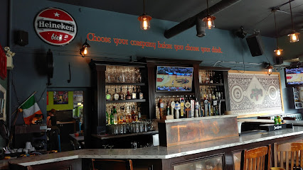
10Fourteen
14.3 km
Indulge in innovative cocktails and savory tapas at 10Fourteen, Ottawa's premier cocktail bar for a memorable night out.

The Senate Tavern on Wellington
14.3 km
Discover The Senate Tavern in Ottawa: A lively sports bar and gastropub with delicious food, craft drinks, and a vibrant atmosphere for all sports fans.
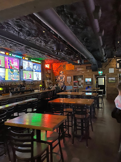
Elmdale Oyster House & Tavern
14.4 km
Discover Ottawa's vibrant dining scene at Elmdale Oyster House & Tavern, where fresh oysters meet a cozy pub atmosphere.
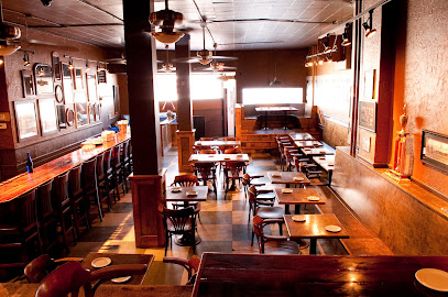
Swizzles
14.7 km
Discover the lively atmosphere and unique charm of Swizzles, a must-visit bar and grill in Ottawa's Byward Market, perfect for an unforgettable night out.
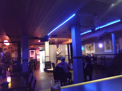
WARD 14
14.7 km
Discover the heart of Little Italy at Ward 14, Ottawa's vibrant bar and restaurant offering local flavors and a lively atmosphere.
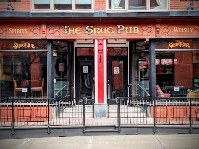
The Snug Pub
14.8 km
Experience the heart of Ottawa at The Snug Pub, your cozy bar in Byward Market with local flavors and a welcoming atmosphere.
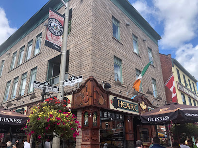
Heart & Crown - ByWard Market
14.8 km
Discover Heart & Crown, Ottawa's premier Irish pub in the lively ByWard Market, offering delicious food, drinks, and entertainment.
The Brig Pub
14.8 km
Experience the lively atmosphere of The Brig Pub in Ottawa's Byward Market, where local flavors and community spirit come together.
