S Platte River Trail, Denver Travel Guide
Explore Denver's heart on the S Platte River Trail: a scenic urban path connecting history, nature, and vibrant city life.
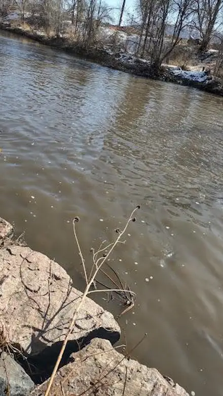
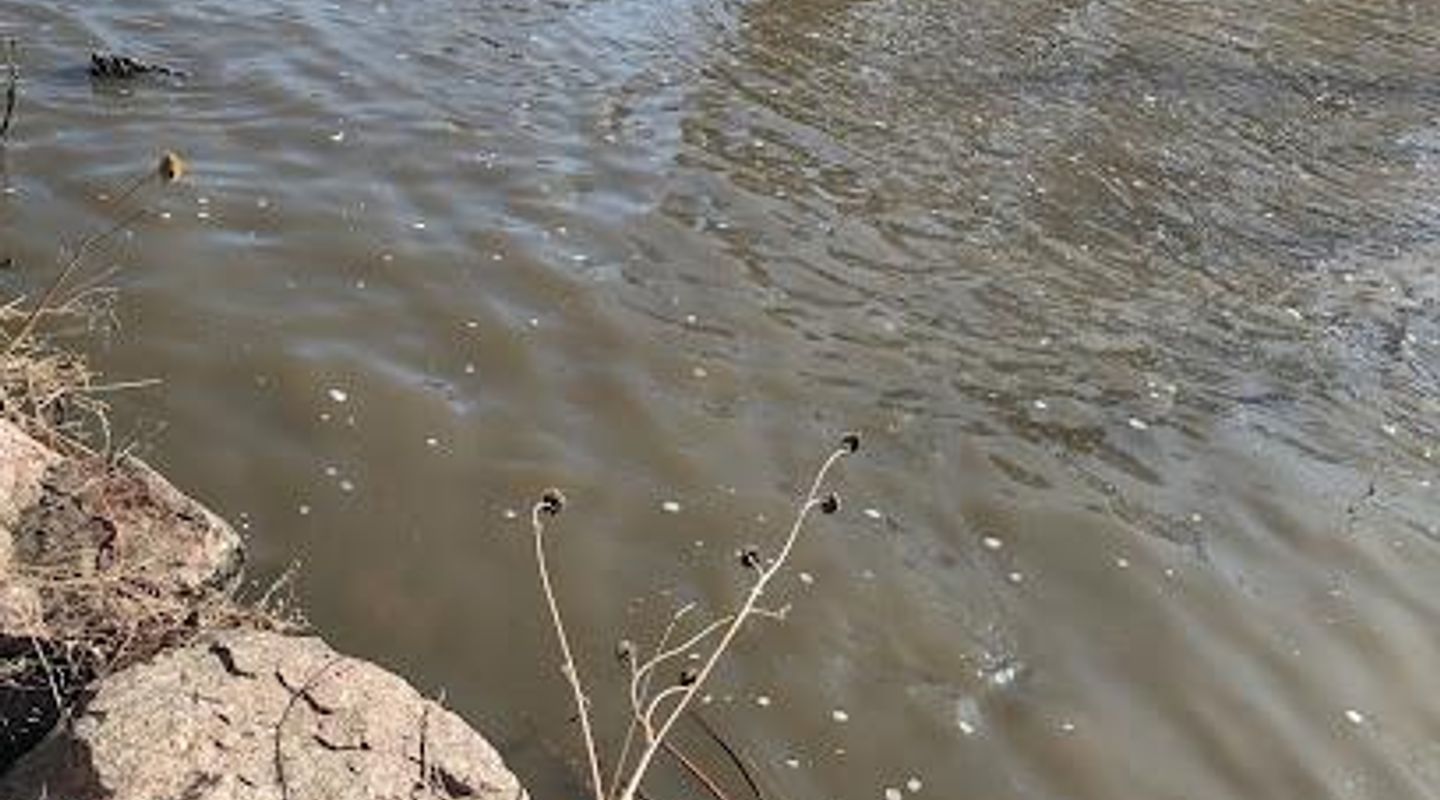
The S Platte River Trail is a 34-mile multi-use path that follows the South Platte River through Denver, Colorado, offering a blend of urban scenery, industrial landscapes, and natural beauty with the Rocky Mountains as a backdrop. It's a popular route for cyclists, walkers, and runners, connecting numerous parks and trails throughout the city.
A brief summary to S Platte River Trail
- Colorado, US

Know before you go
Hi, I'm Eve. Here are a few practical things to know before exploring S Platte River Trail.
- Bring water and sunscreen, as shade can be limited in some sections of the trail.
- Be aware of your surroundings, especially in industrial areas, and follow all safety guidelines.
- Utilize the trail's connections to explore other Denver neighborhoods and attractions.
- Check the TrailLink website or Bike Streets App for detailed maps and parking options.
Do you manage this location?
Take control to get all the benefits, like improved information, better appearance, and stronger visibility across AI-powered discovery. Learn more about listing your business on Evendo
Activate your presenceOther nearby places you may find interesting
The closest places of the same kind, if this one is not quite what you had in mind.

Explore S Platte River Trail on the Map
A handpicked selection of must-see spots near S Platte River Trail, mapped for you.
Getting There
-
Walking
From Confluence Park in downtown Denver, the S Platte River Trail is easily accessible on foot. Head south or north along the paved path, following the river's course. The trail is well-marked and relatively flat, making for an easy walk. No costs involved.
-
Public Transport
Several bus and light rail stops are located near the S Platte River Trail. For example, the RTD (Regional Transportation District) light rail has stops near the trail at Empower Field and along the I-25 corridor. A single ride fare on RTD is typically $3.00. From the station, follow the signs to the trail.
-
Driving
If driving, several parking areas provide access to the S Platte River Trail. One option is Overland Pond Park, located near S Platte River Drive. Parking is typically free. From the parking area, the trail is a short walk away. Be aware that parking can be limited during peak hours.
Discover more about S Platte River Trail













Your all‑in‑one travel companion app
Explore expert travel guides, compare and book tours, experiences, hotels, and more—all from the palm of your hand. Download now for seamless trip planning wherever your wanderlust takes you.


Explore More of Denver
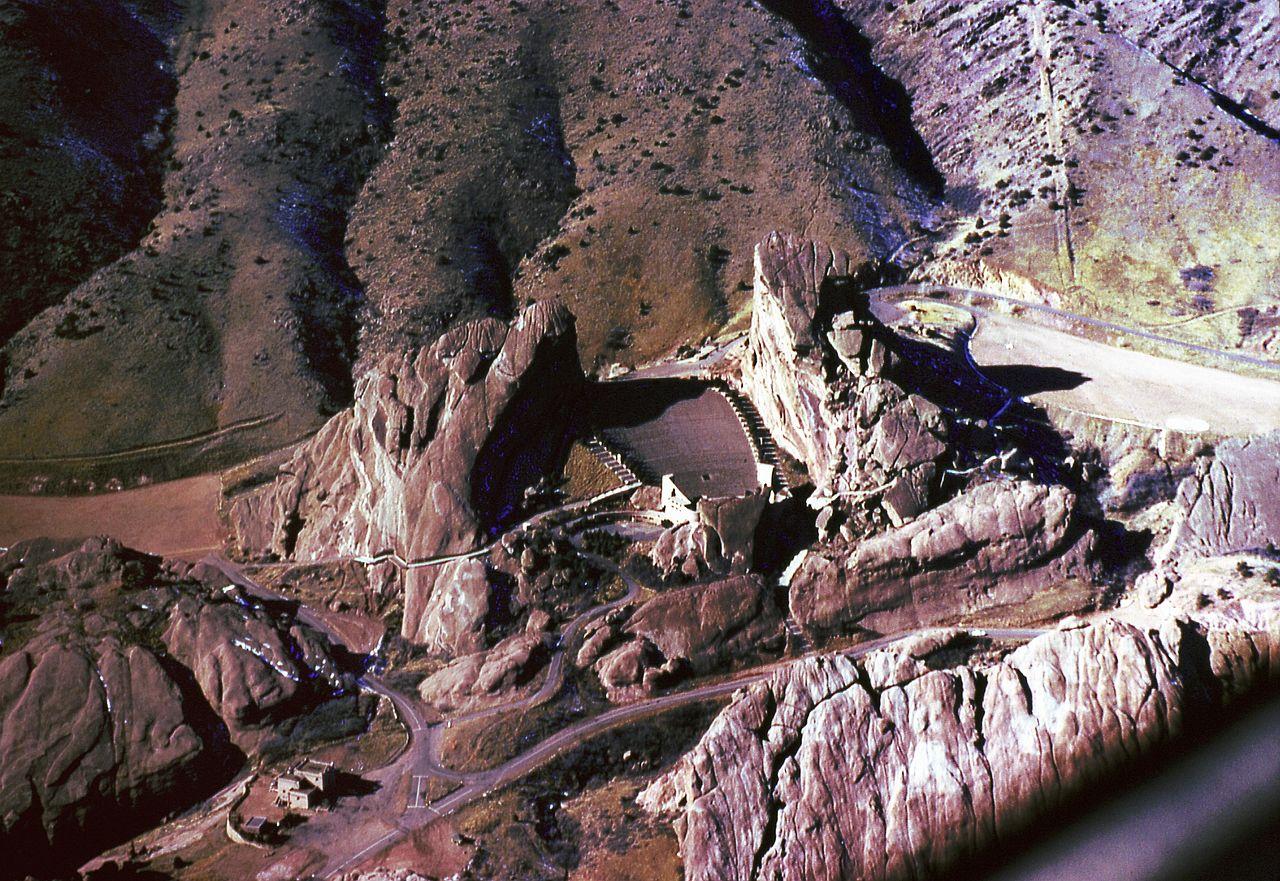
Looking beyond S Platte River Trail? Discover Denver for broader travel guides, local hot-spots, and regional highlights.
Explore Denver
Denver's Our Mutual Friend Brewing: Award-winning craft beers, locally sourced ingredients, and a vibrant community gathering place in the RiNo Art District.
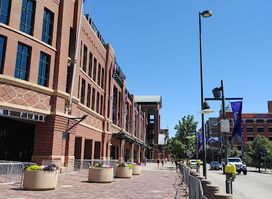
Experience Denver's vibrant heart at McGregor Square: dining, entertainment, and urban living in LoDo, next to Coors Field.